
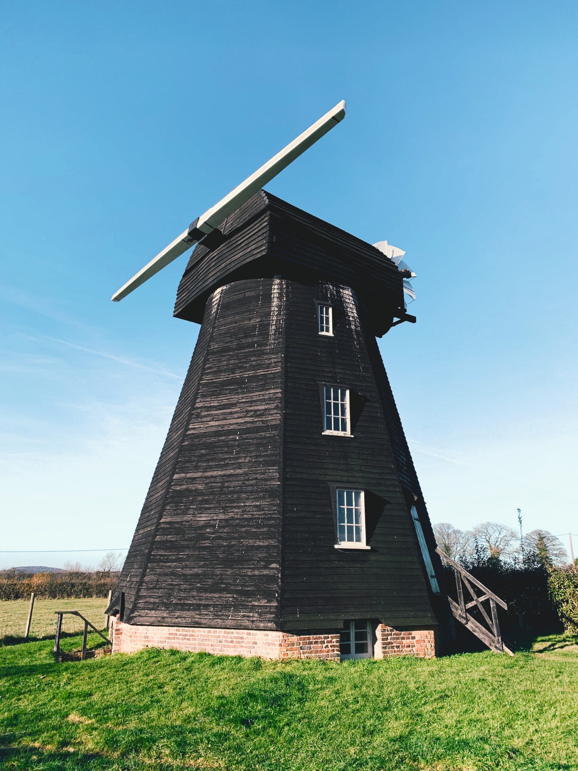
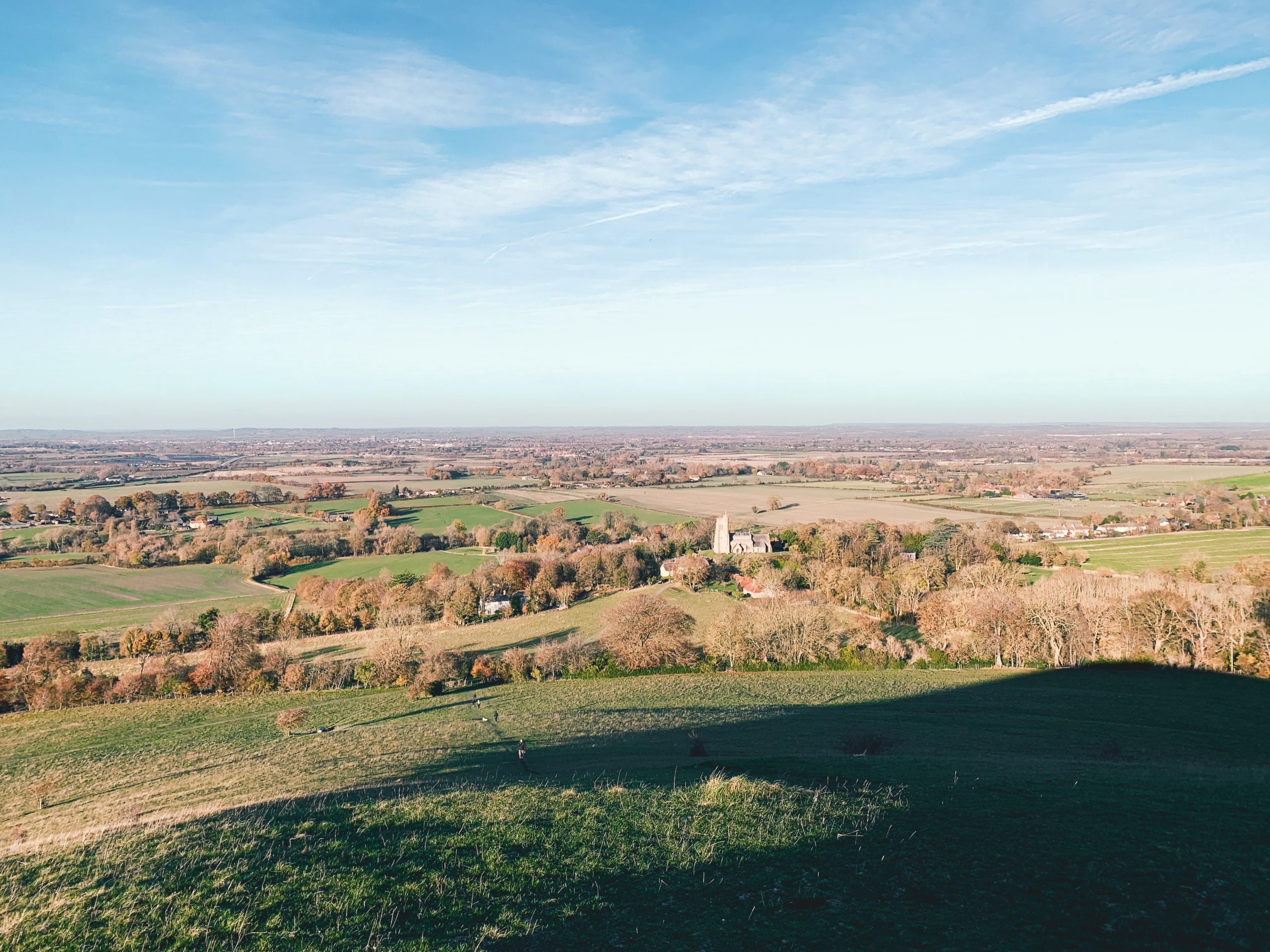
DAY HIKES FROM LONDON ->
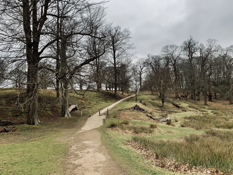
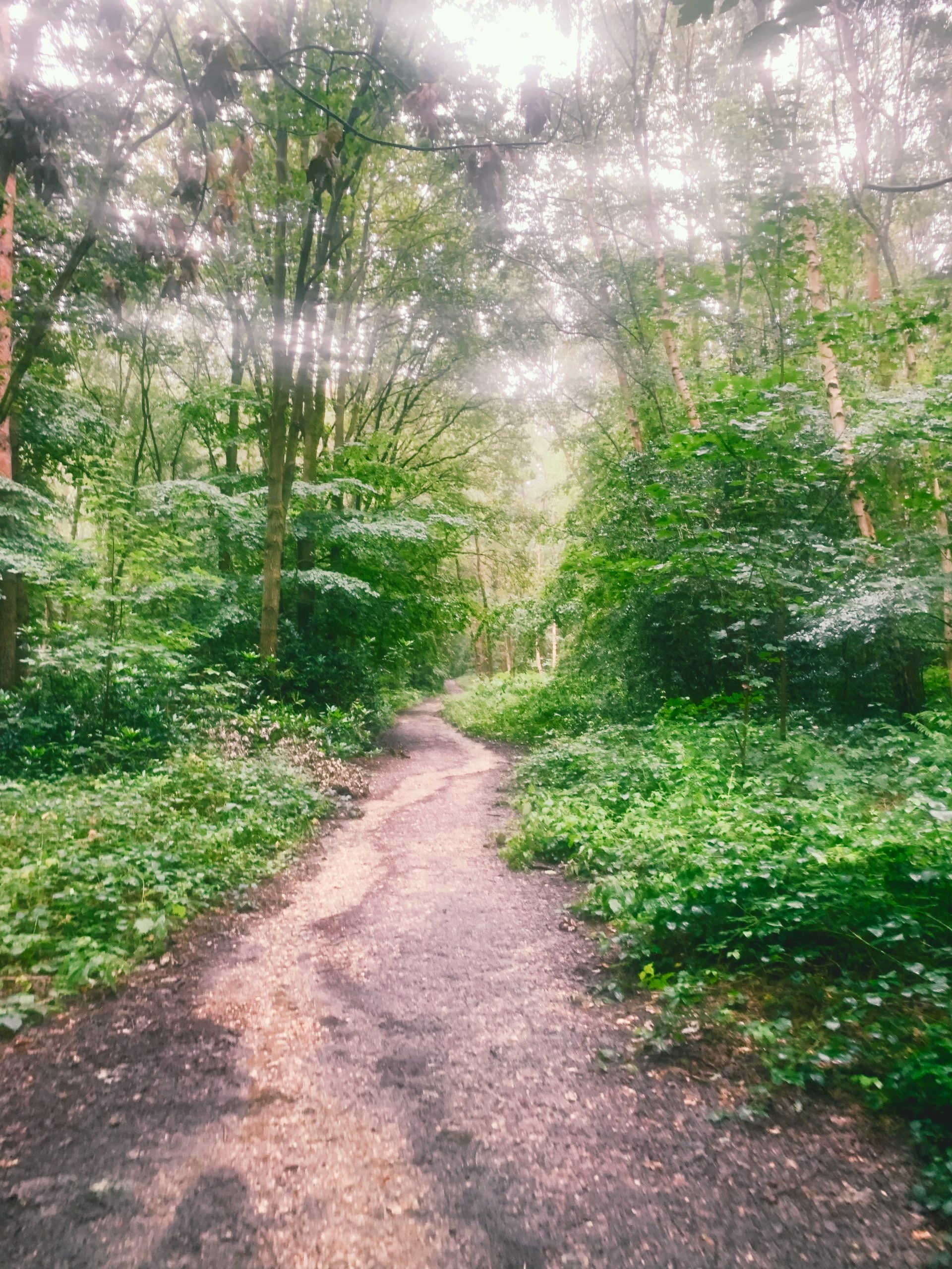
An index of walks around the South East of the UK, all accessible by train and bus. A record of routes we have walked and shared.
->
To provide an authentic and trusted source for beautiful walks, to get out of London and into nature, where we think humans feel happiest.
->
INDEX ->
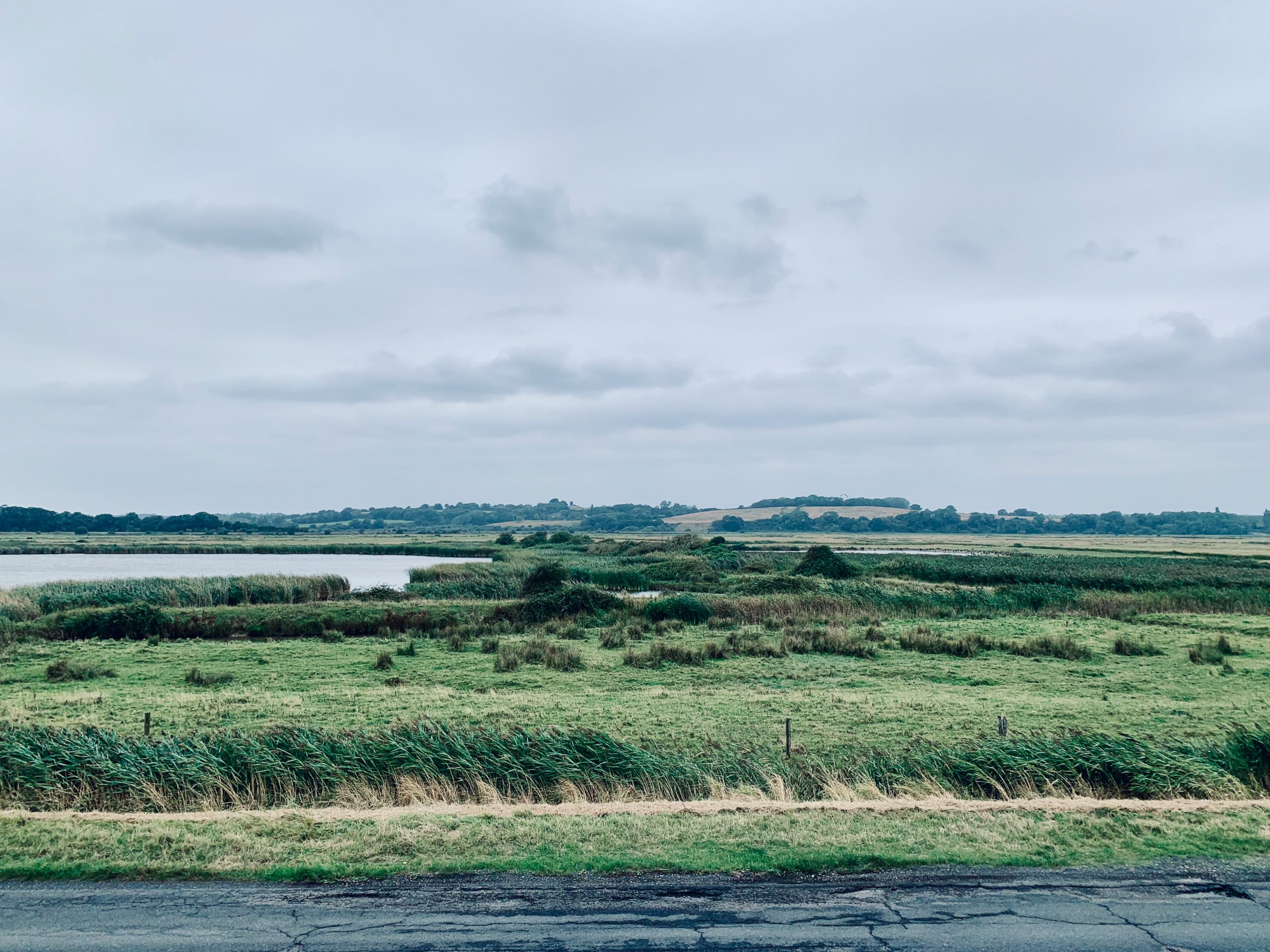
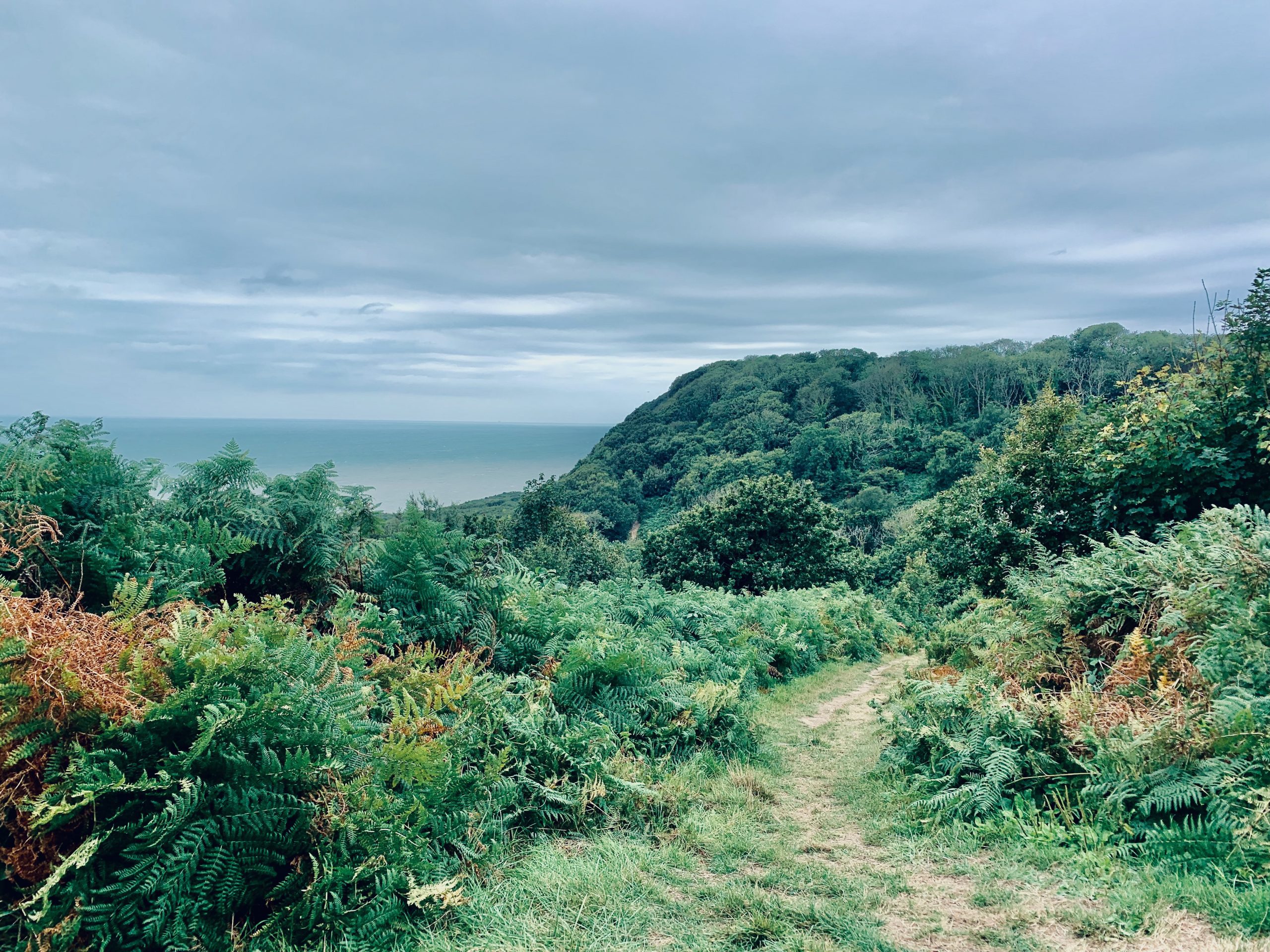
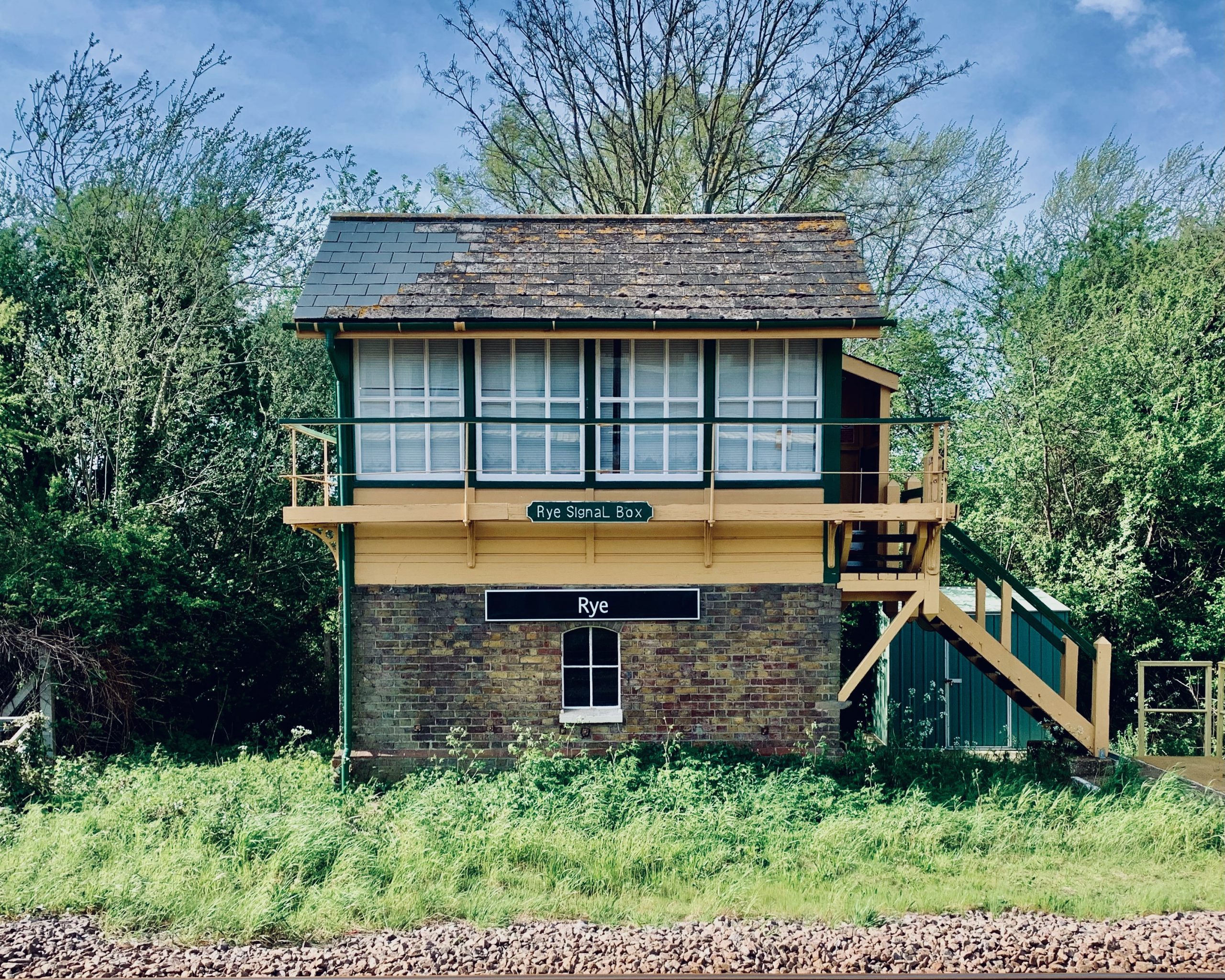
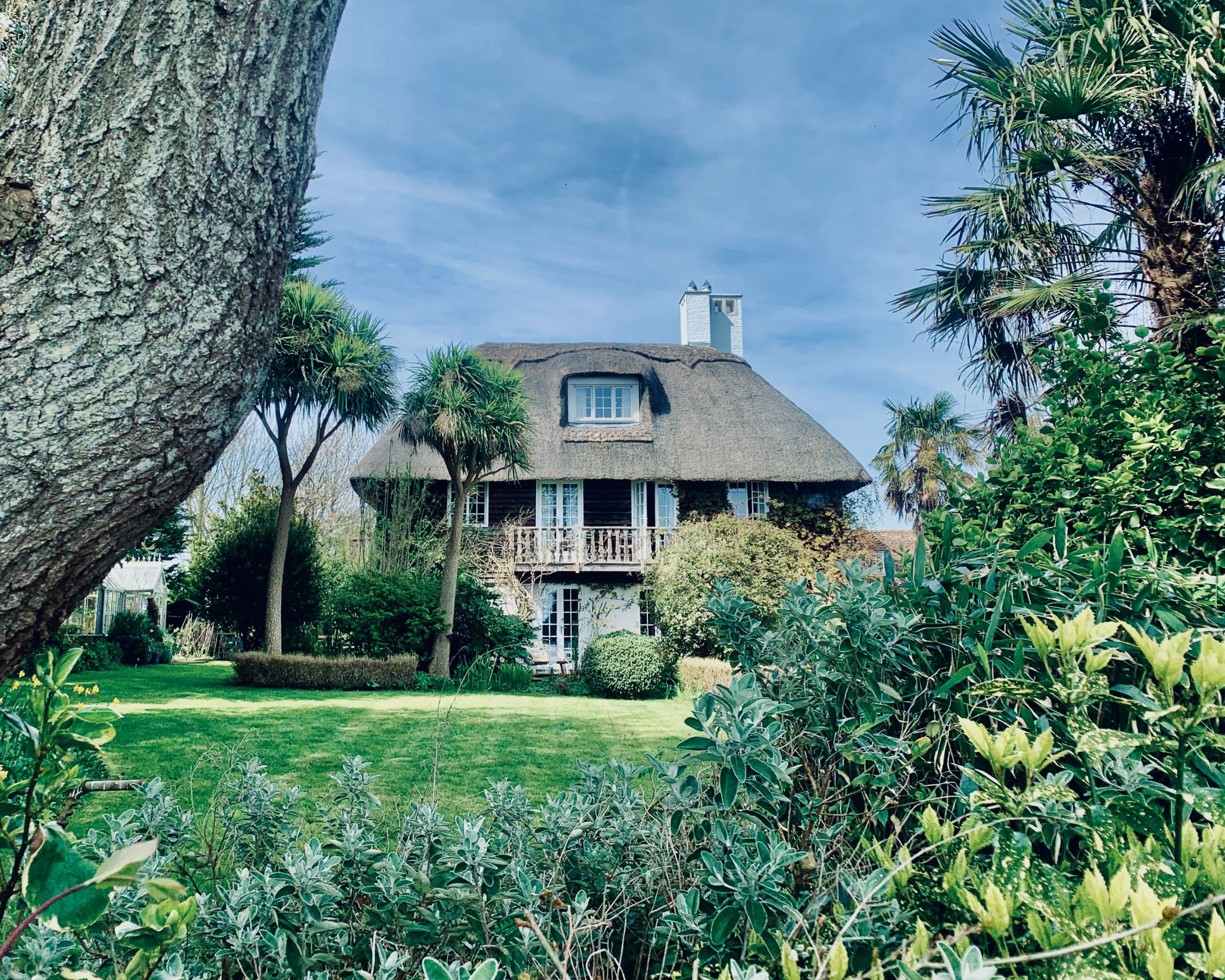
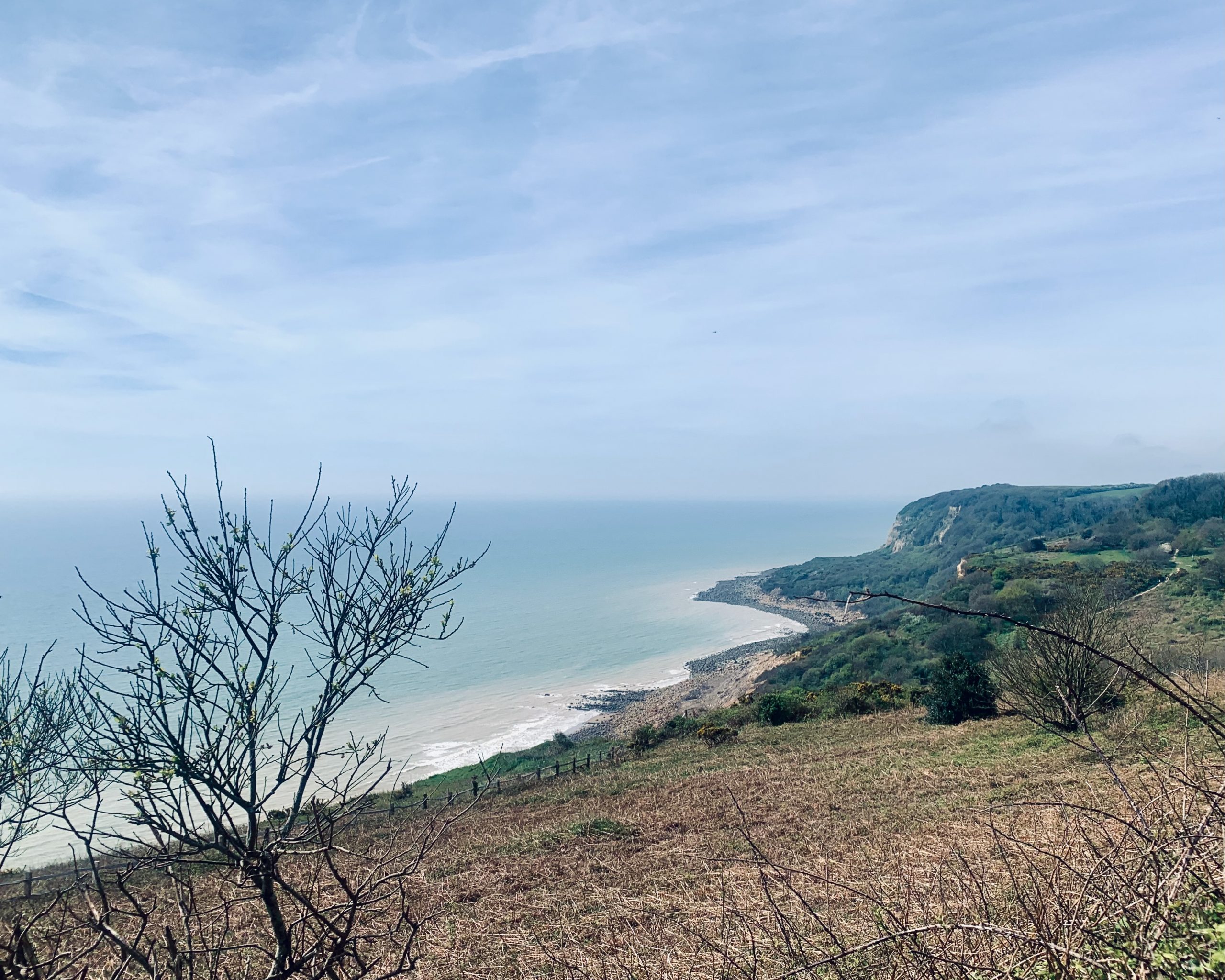
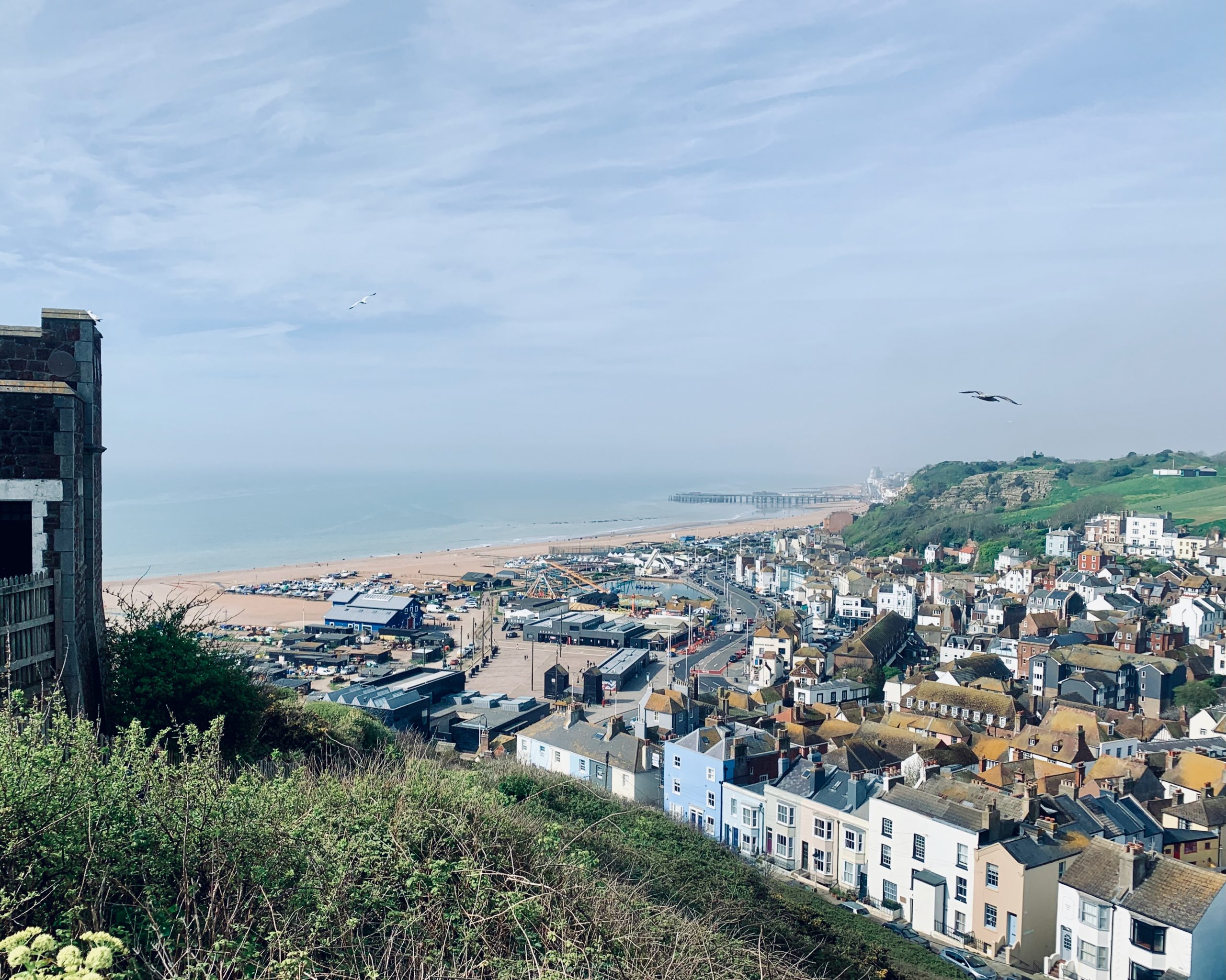
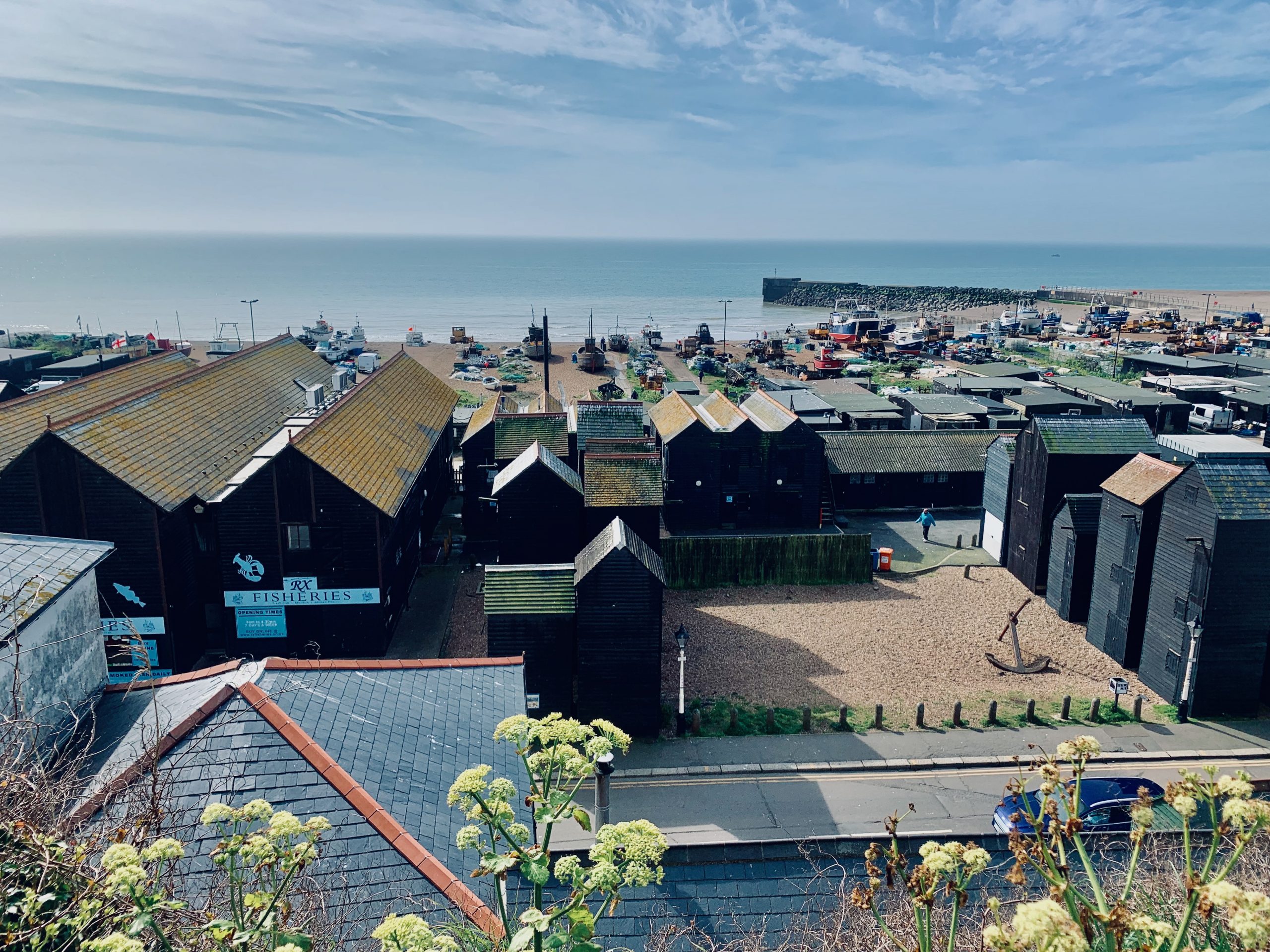
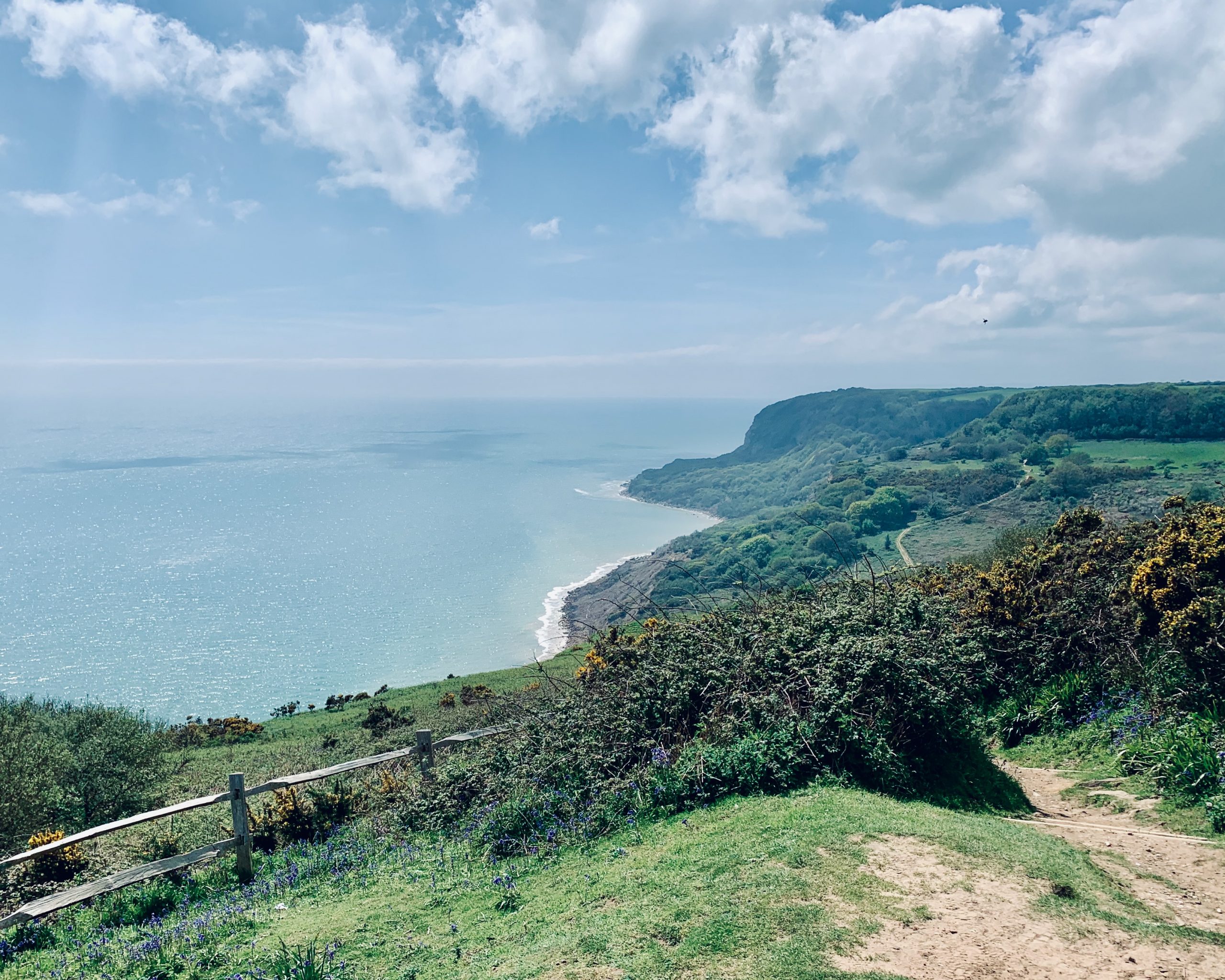
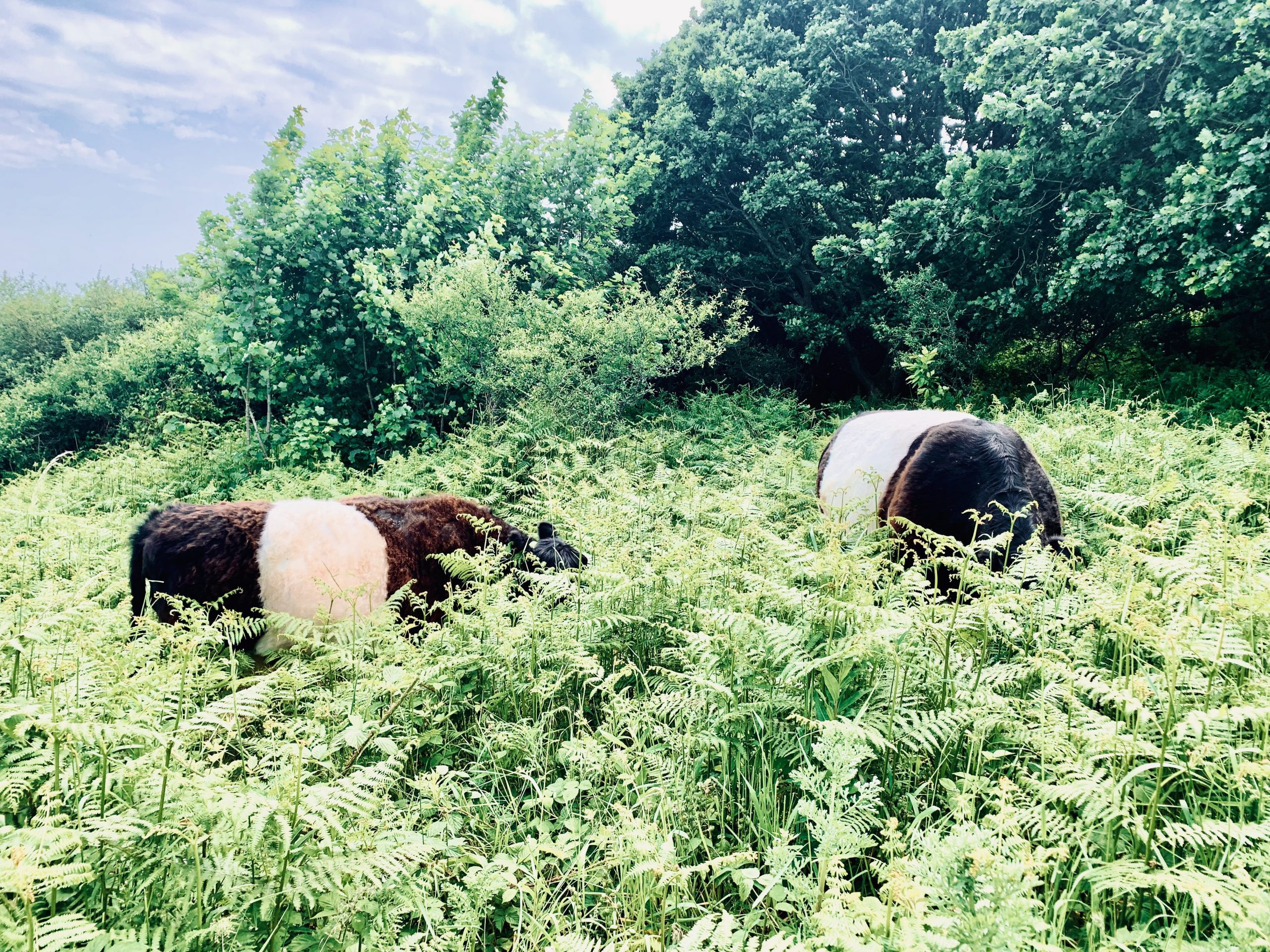
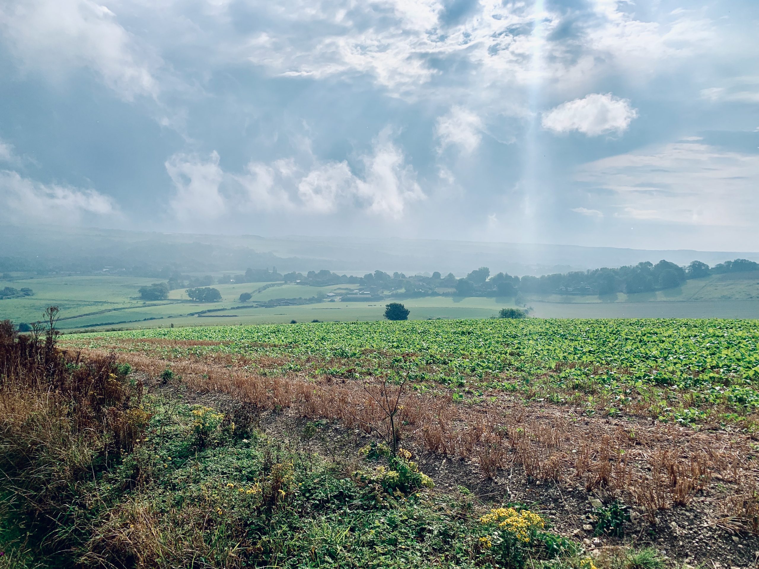
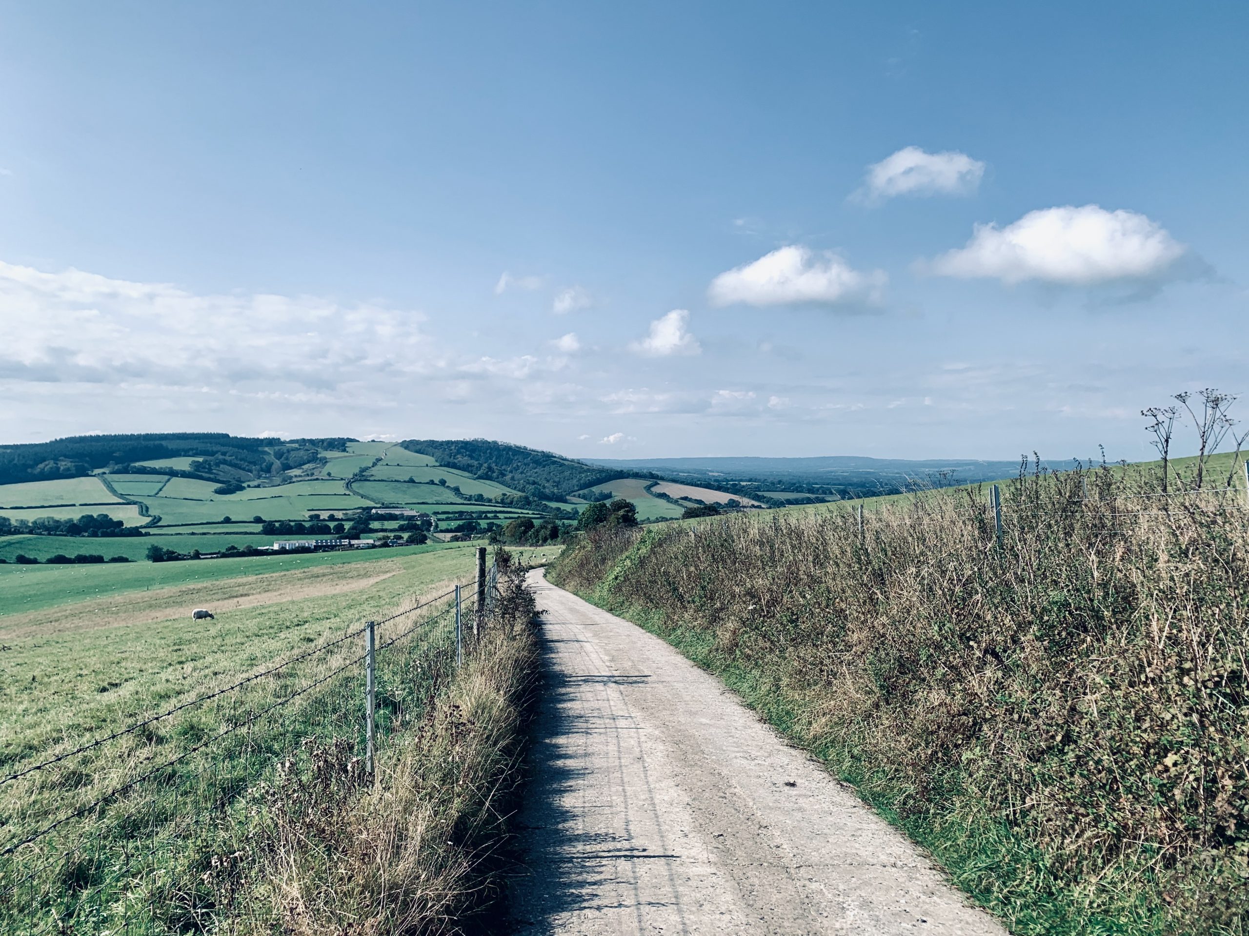
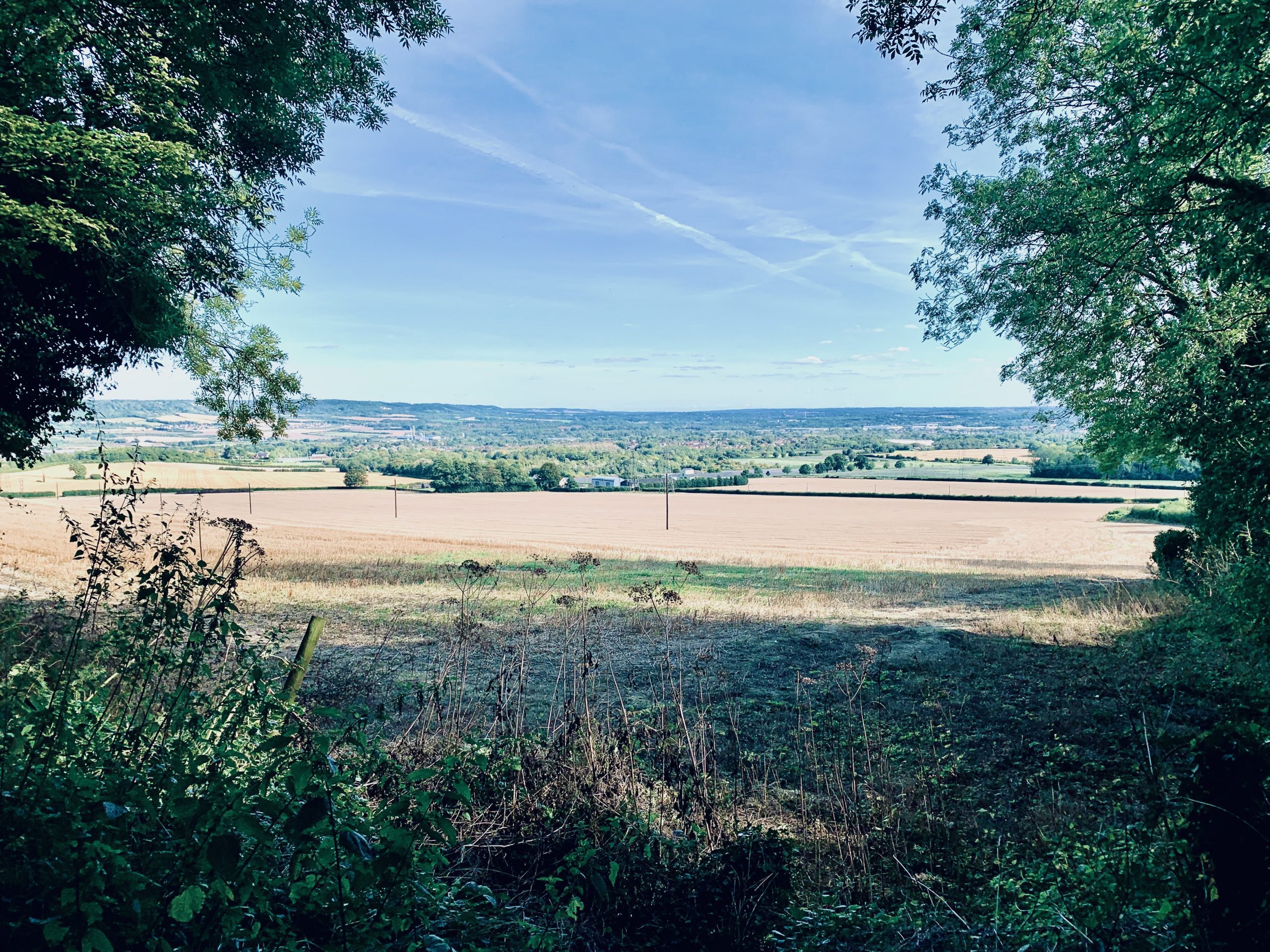
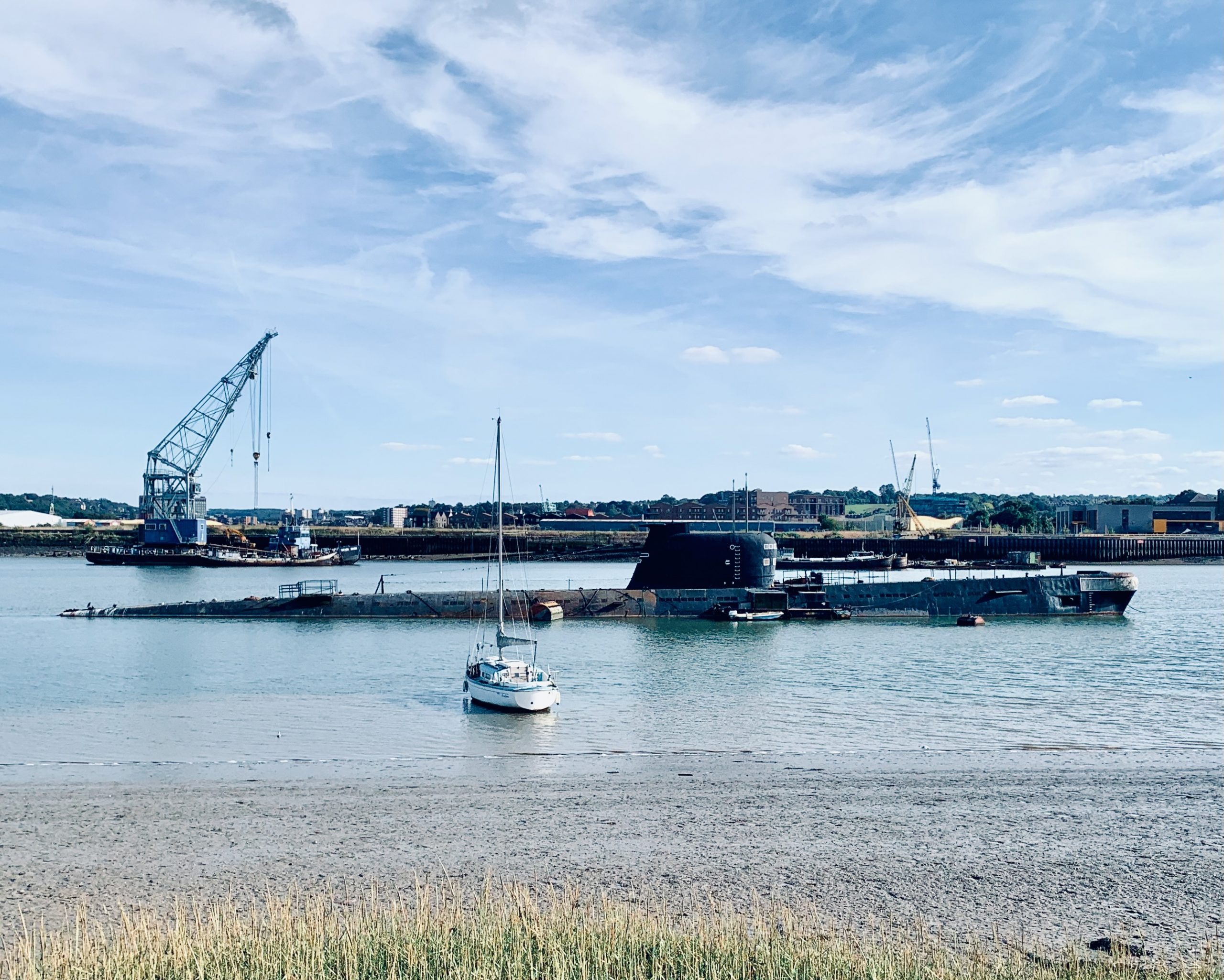
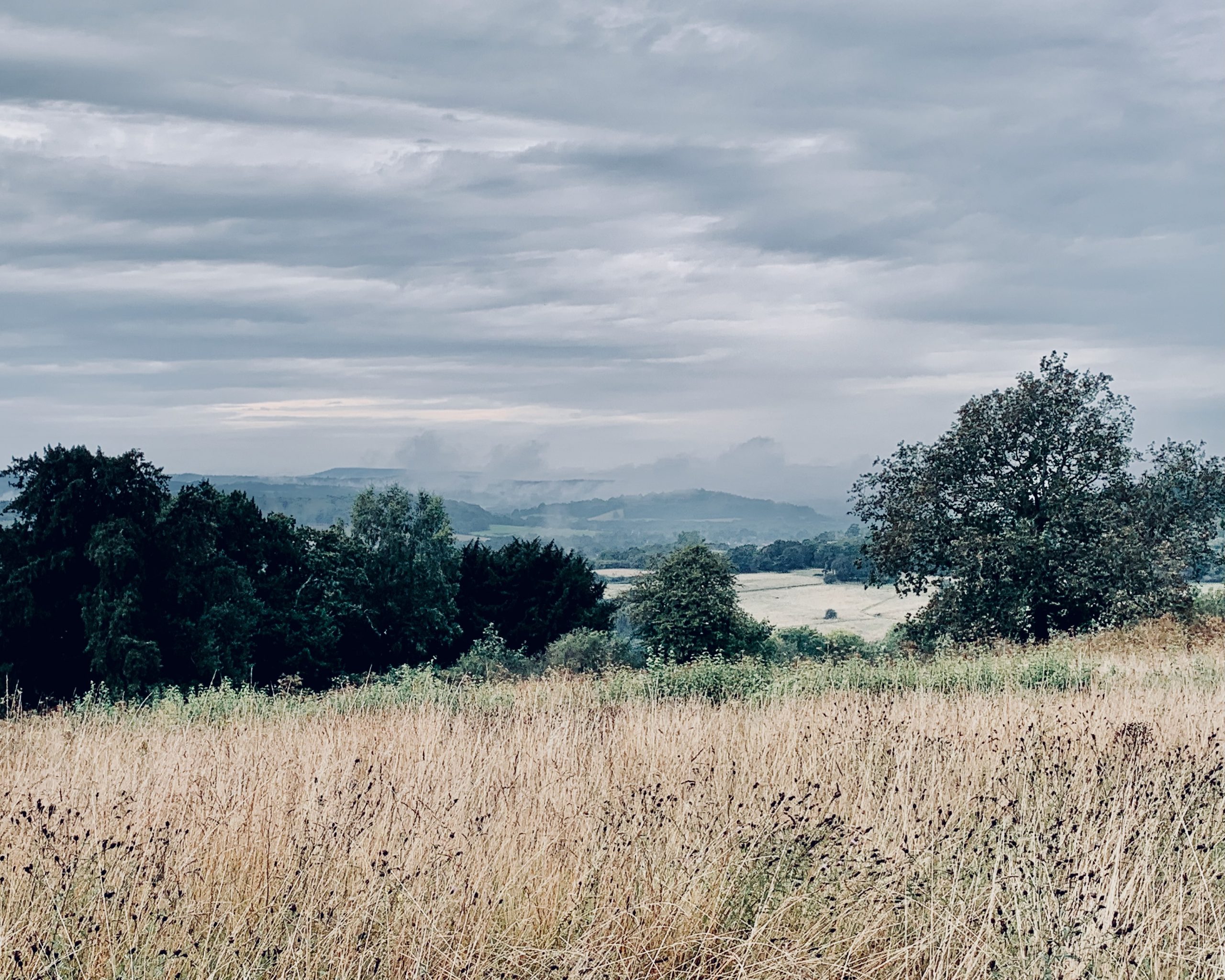
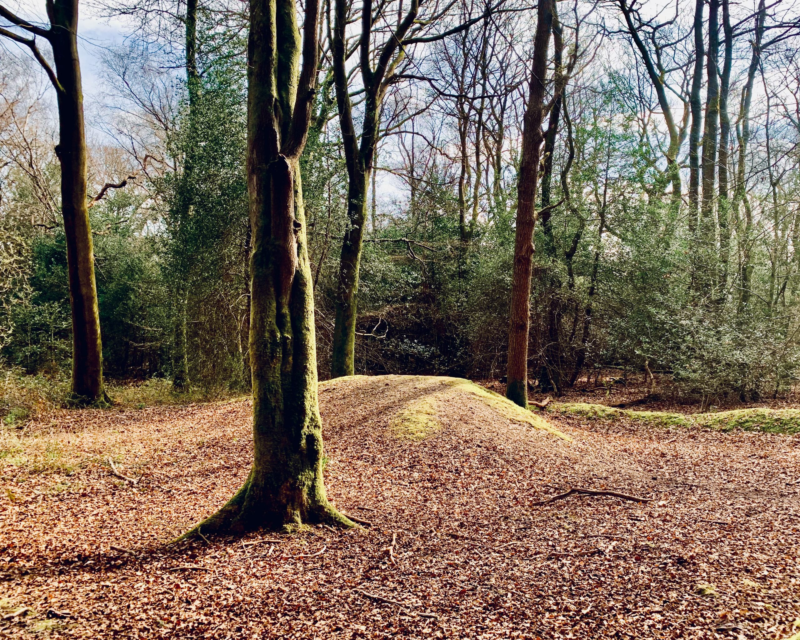
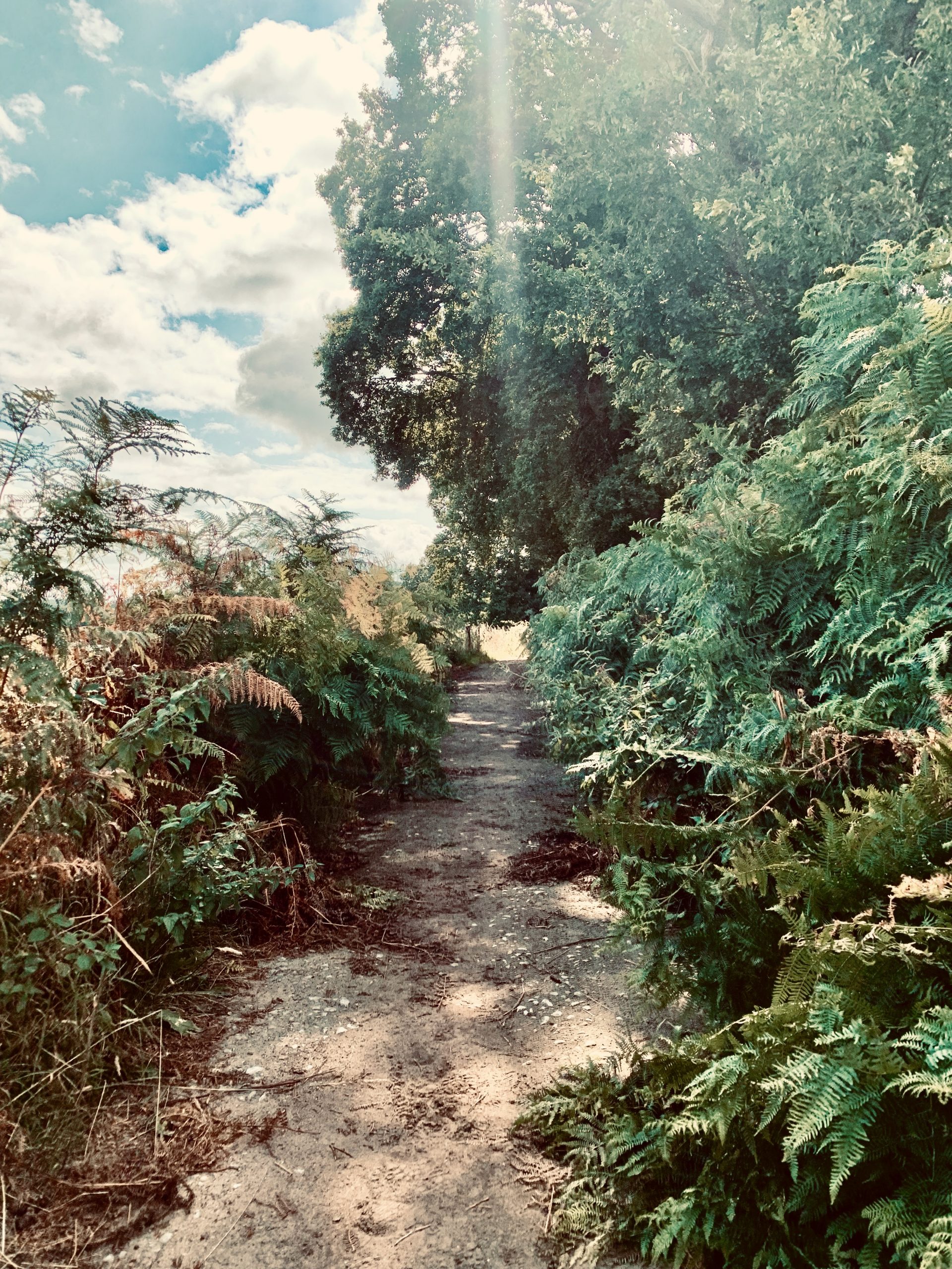
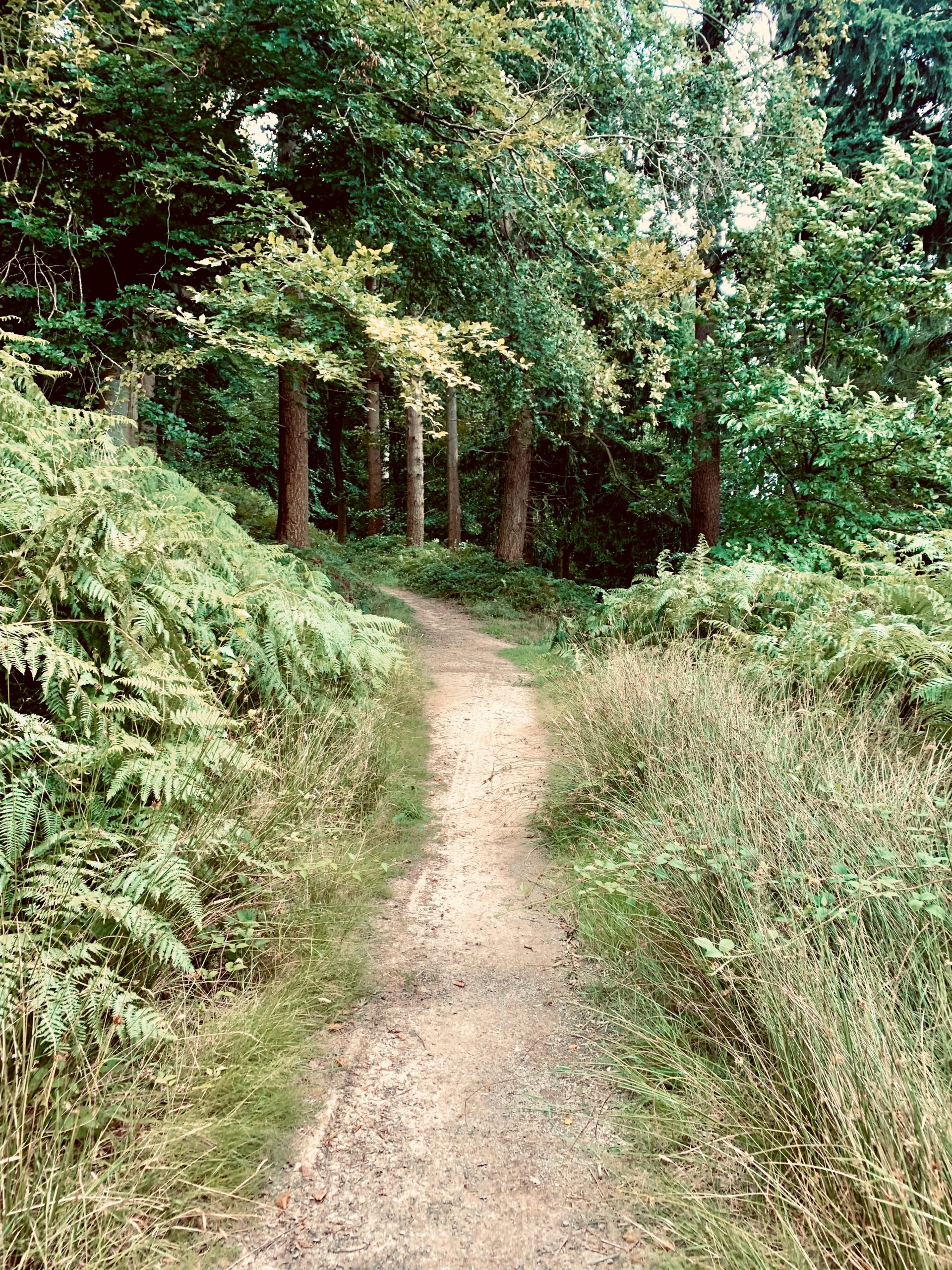
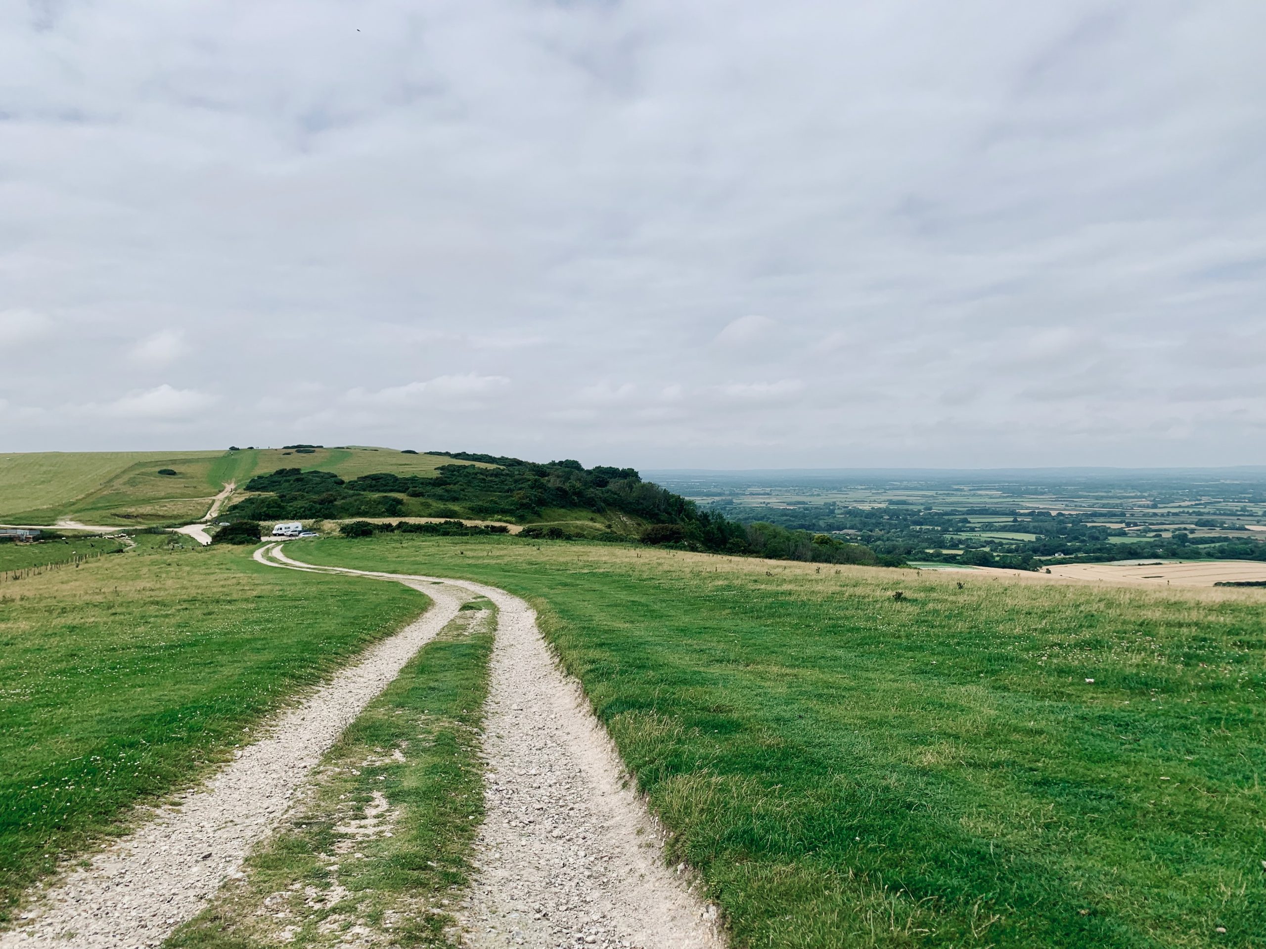
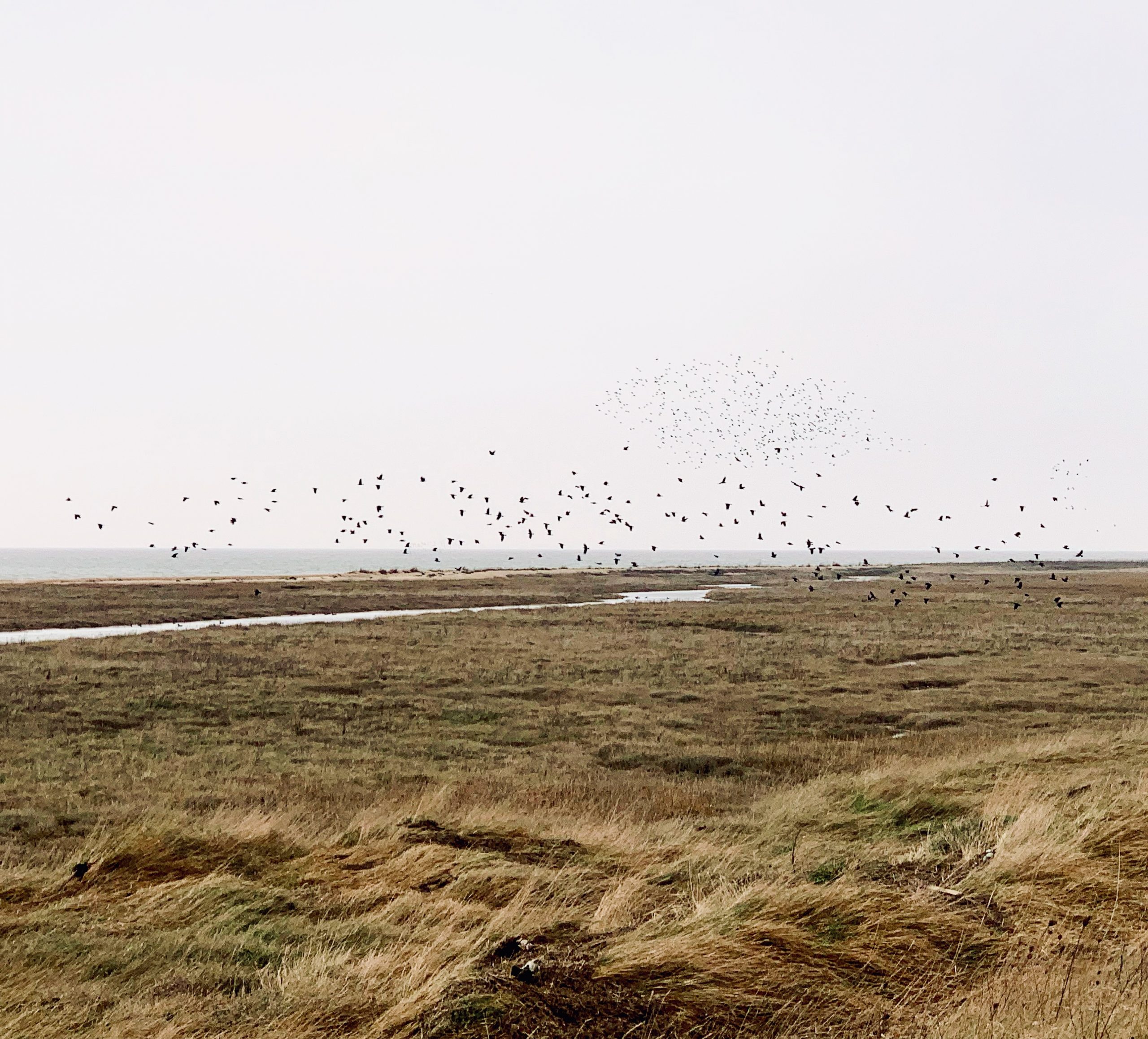
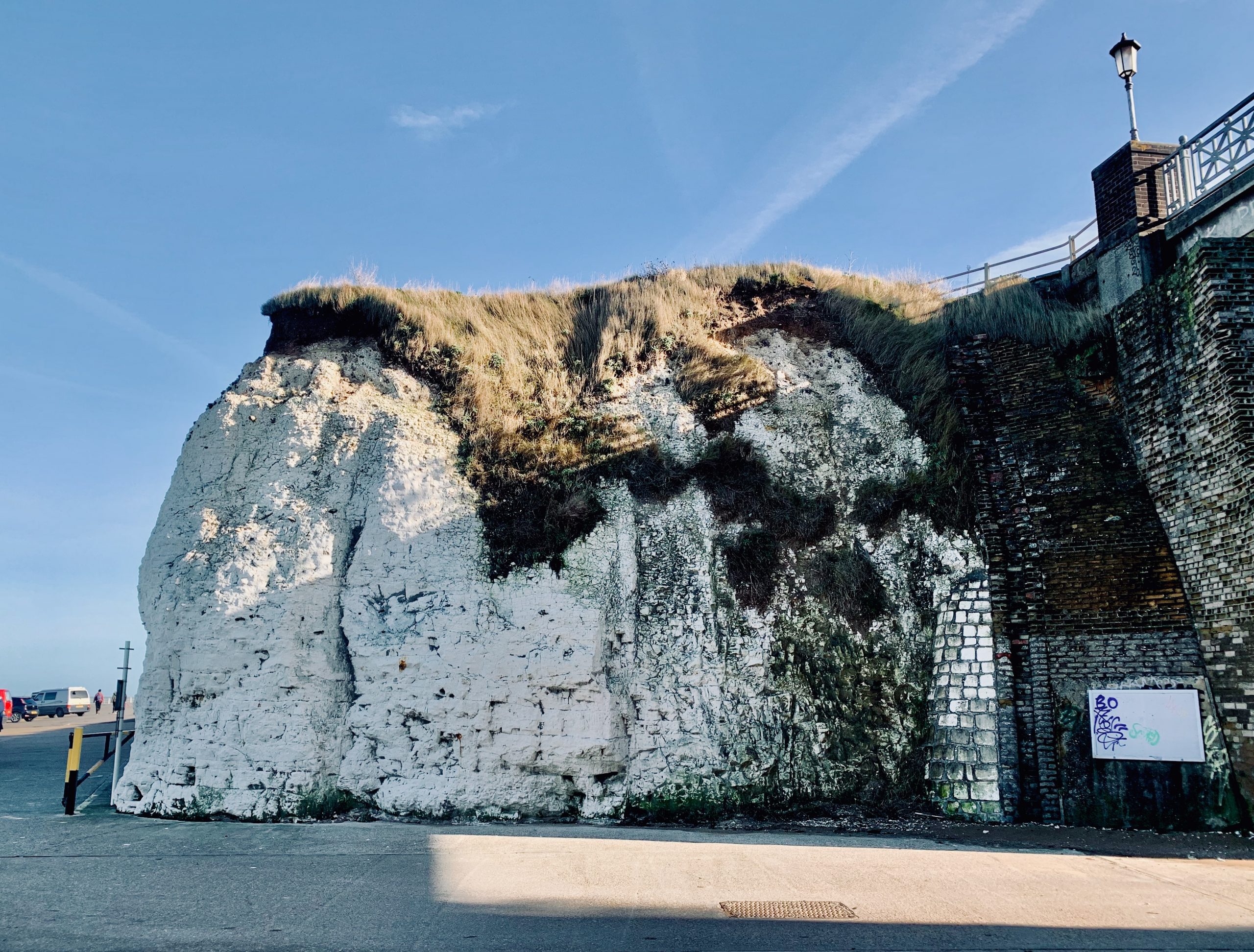
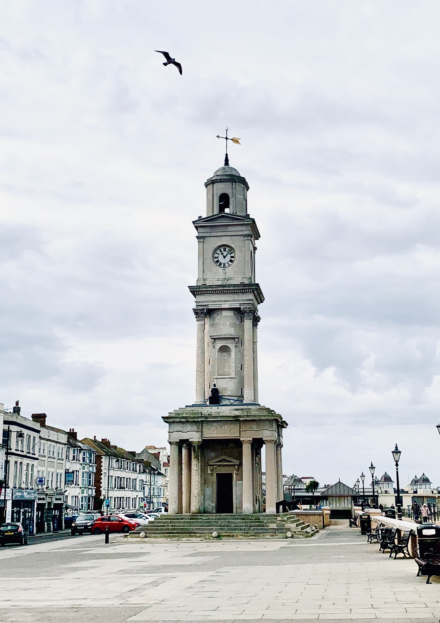
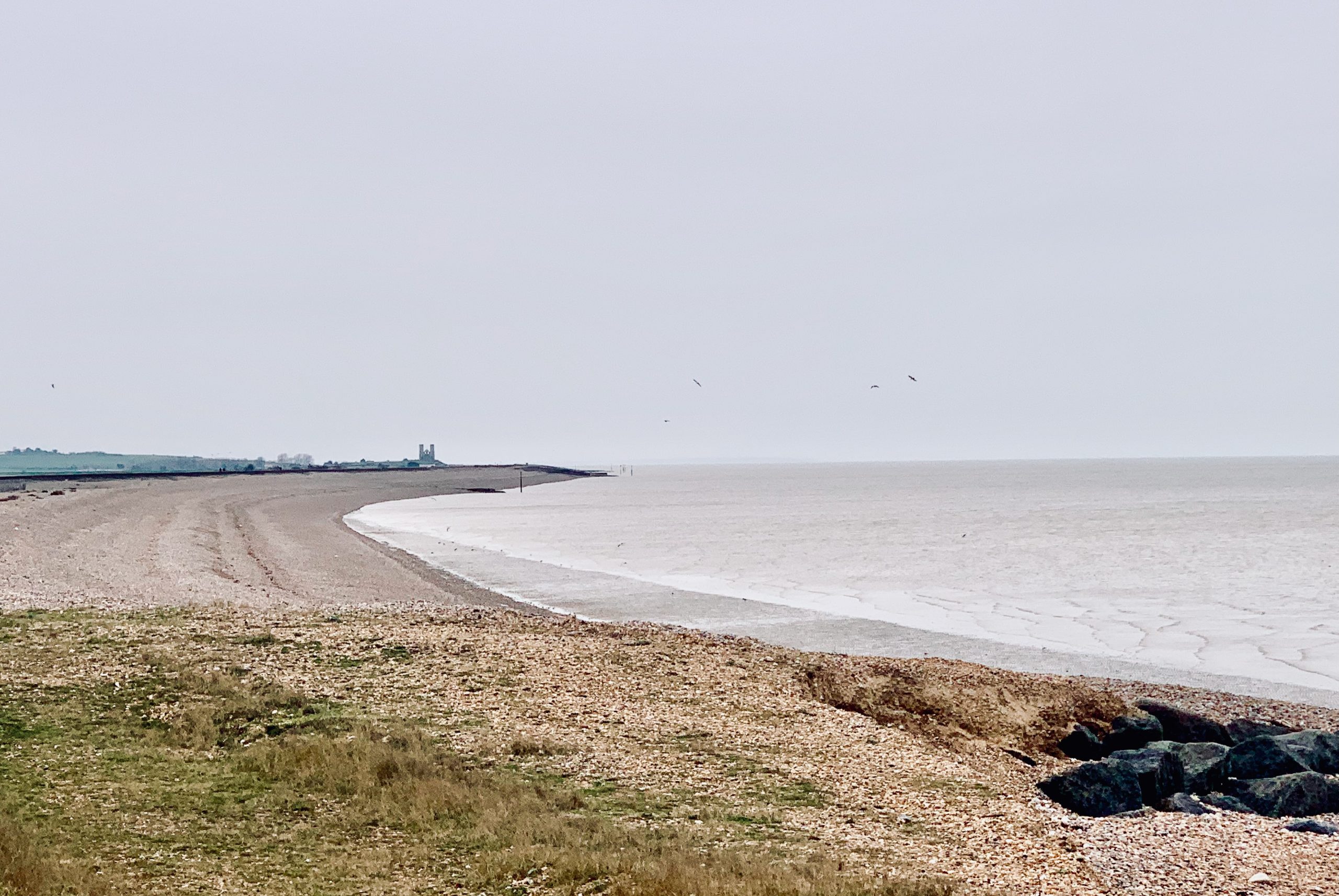
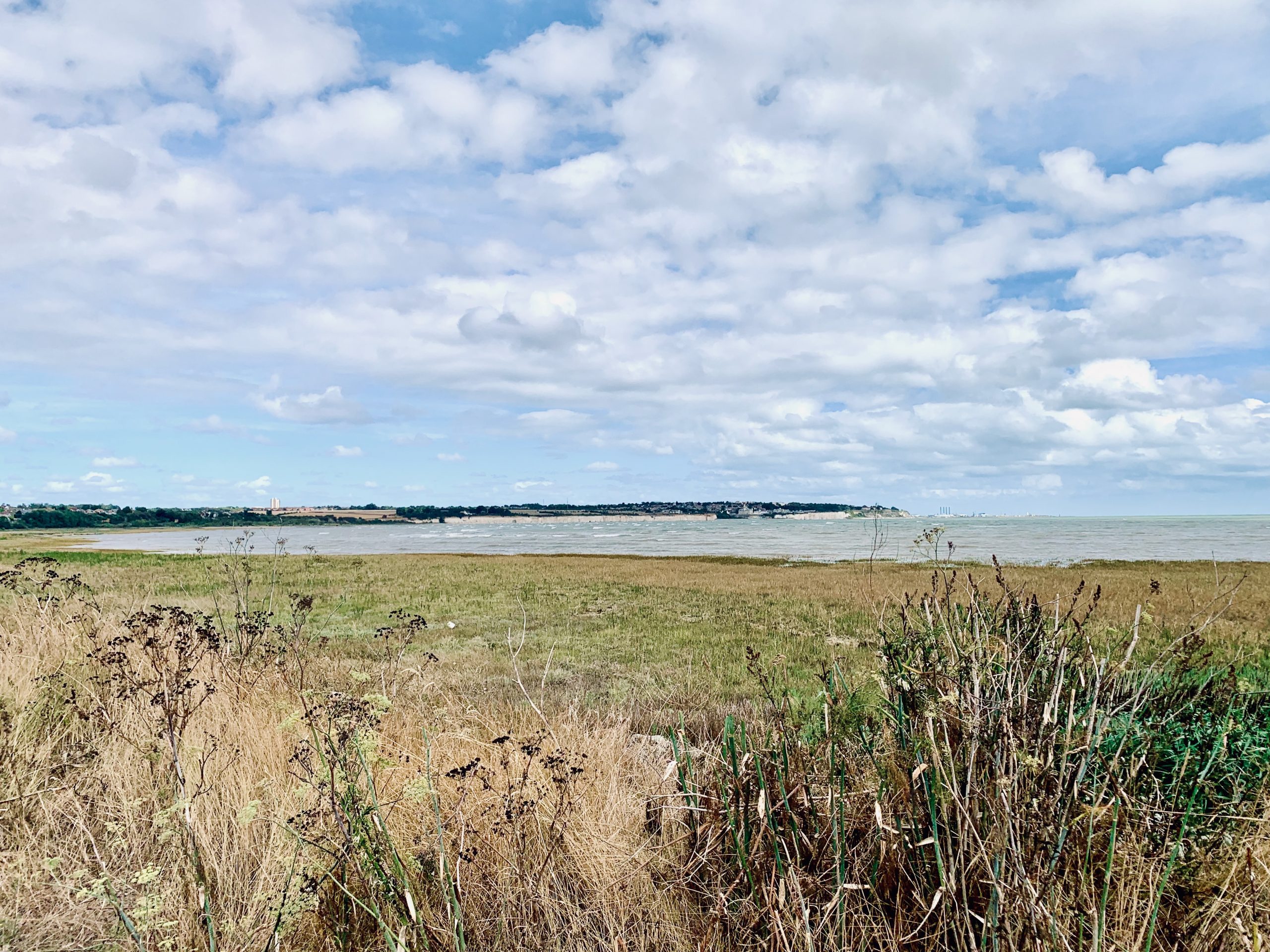
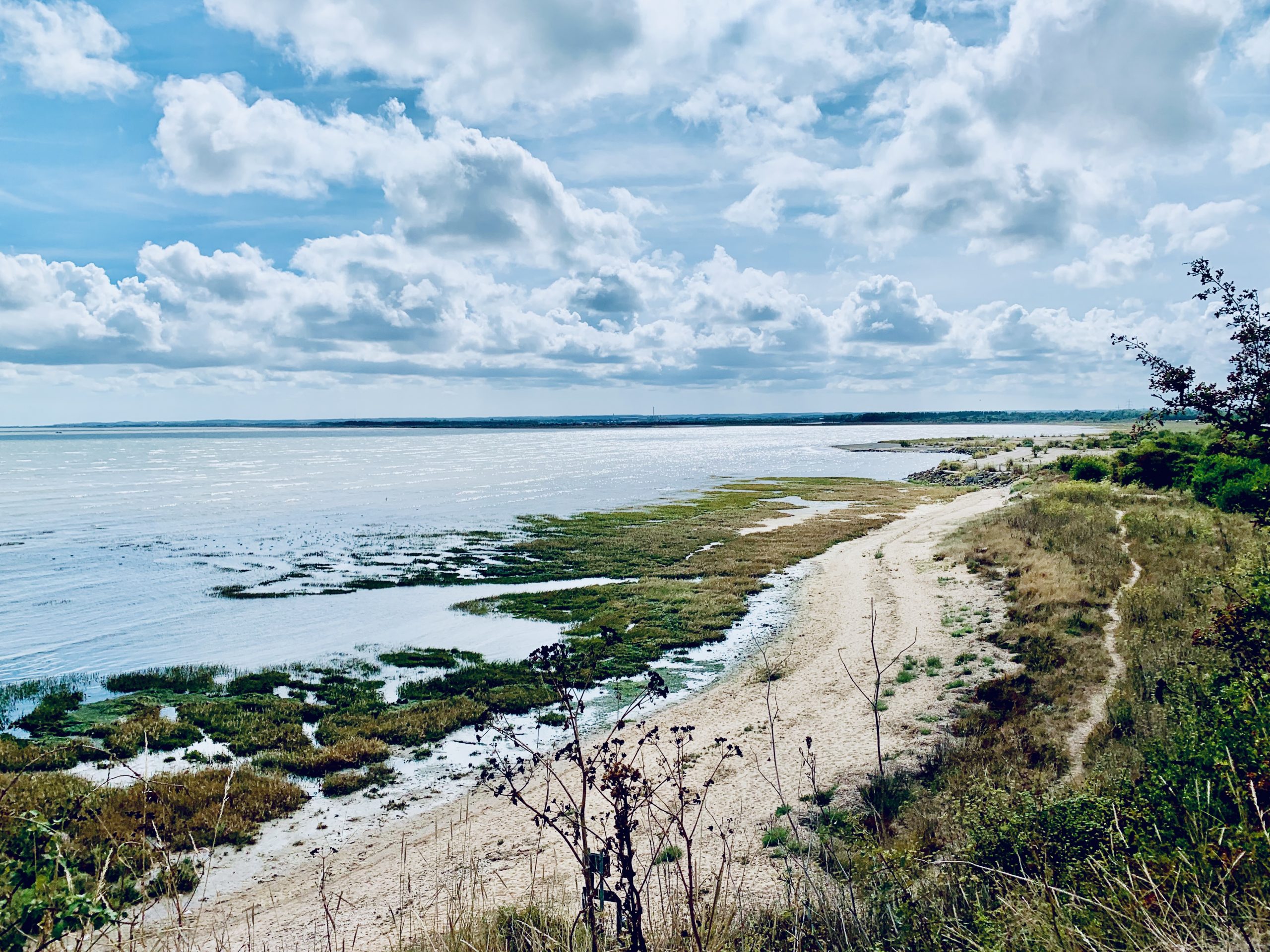
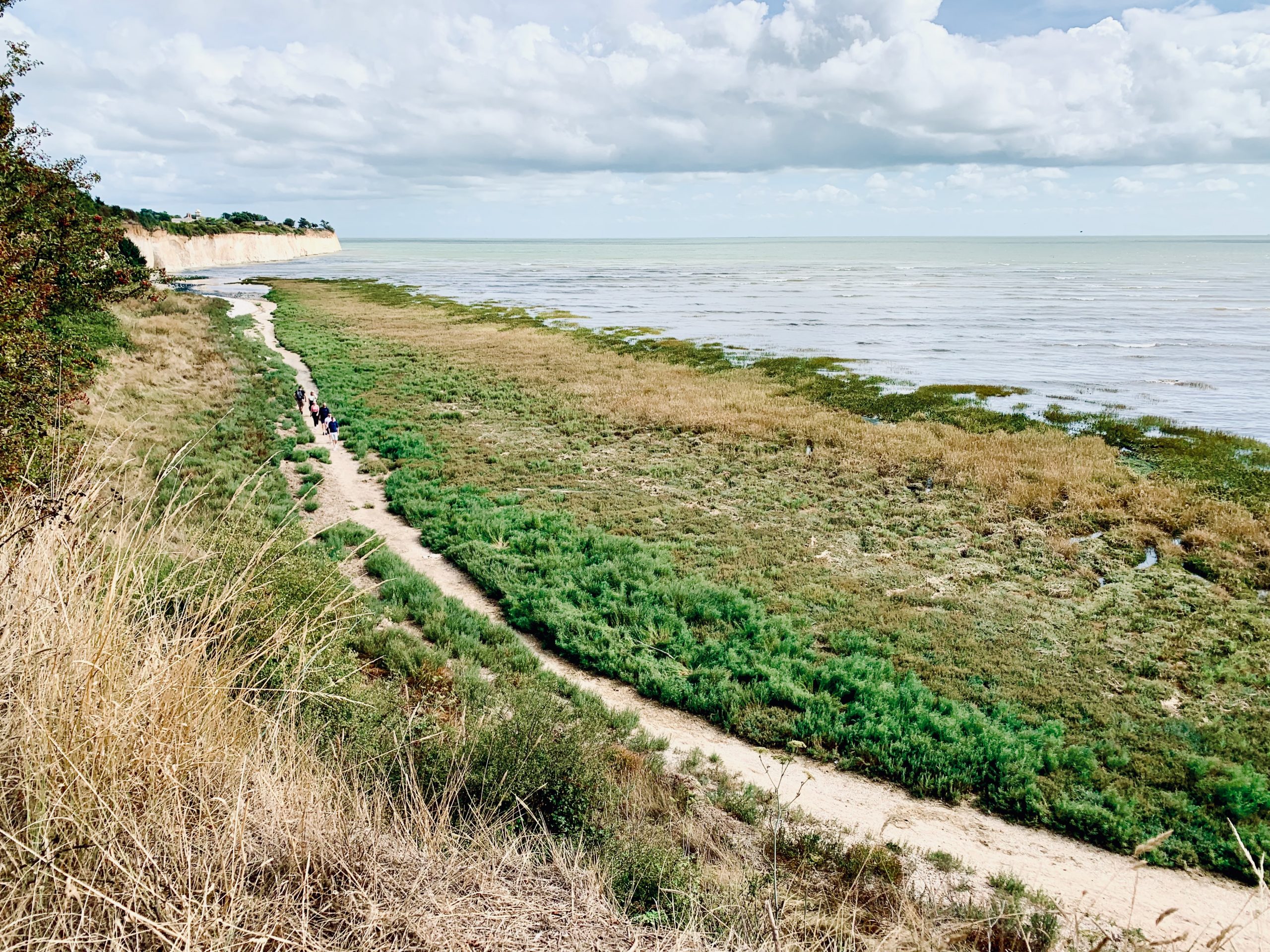
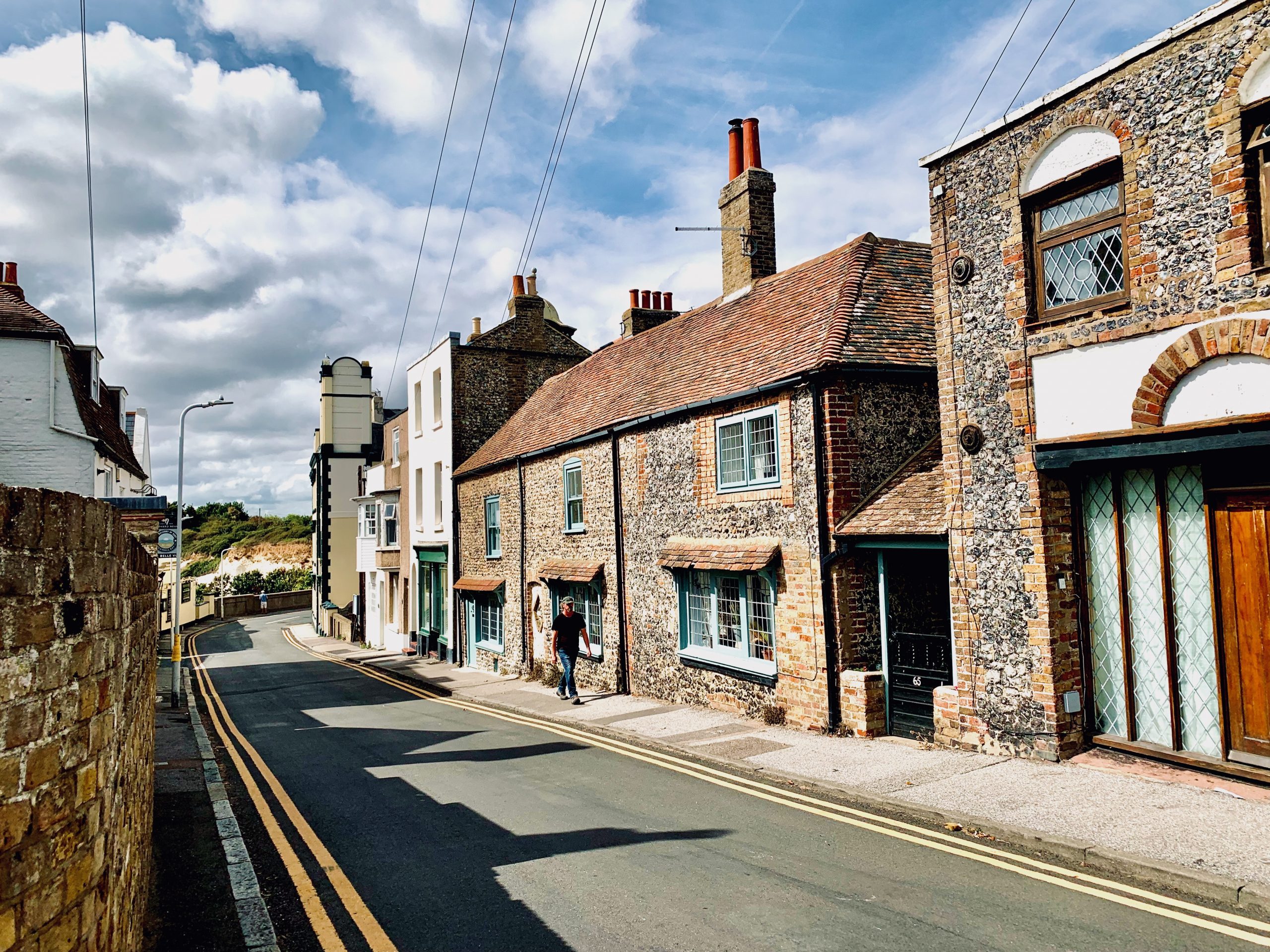
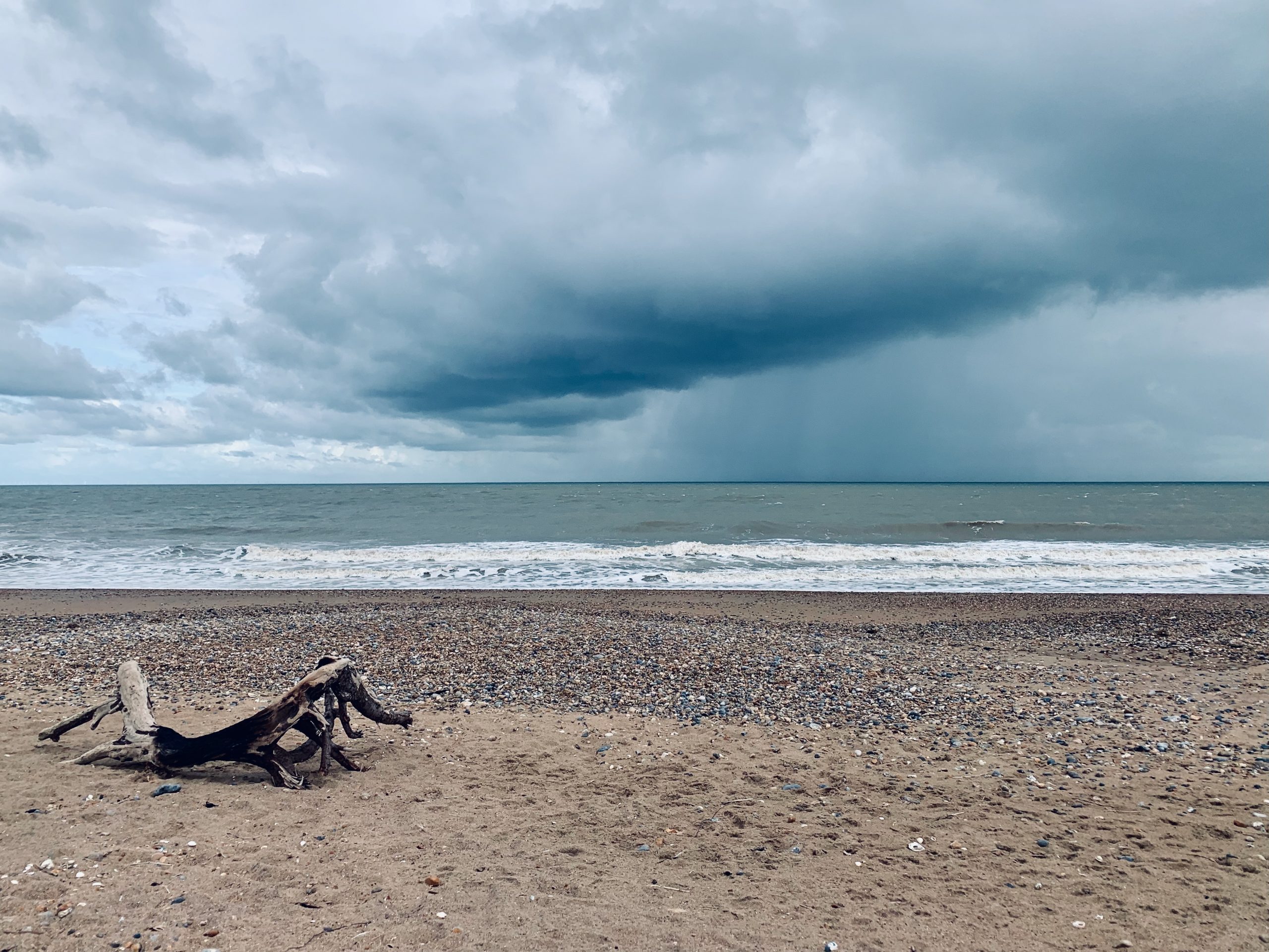
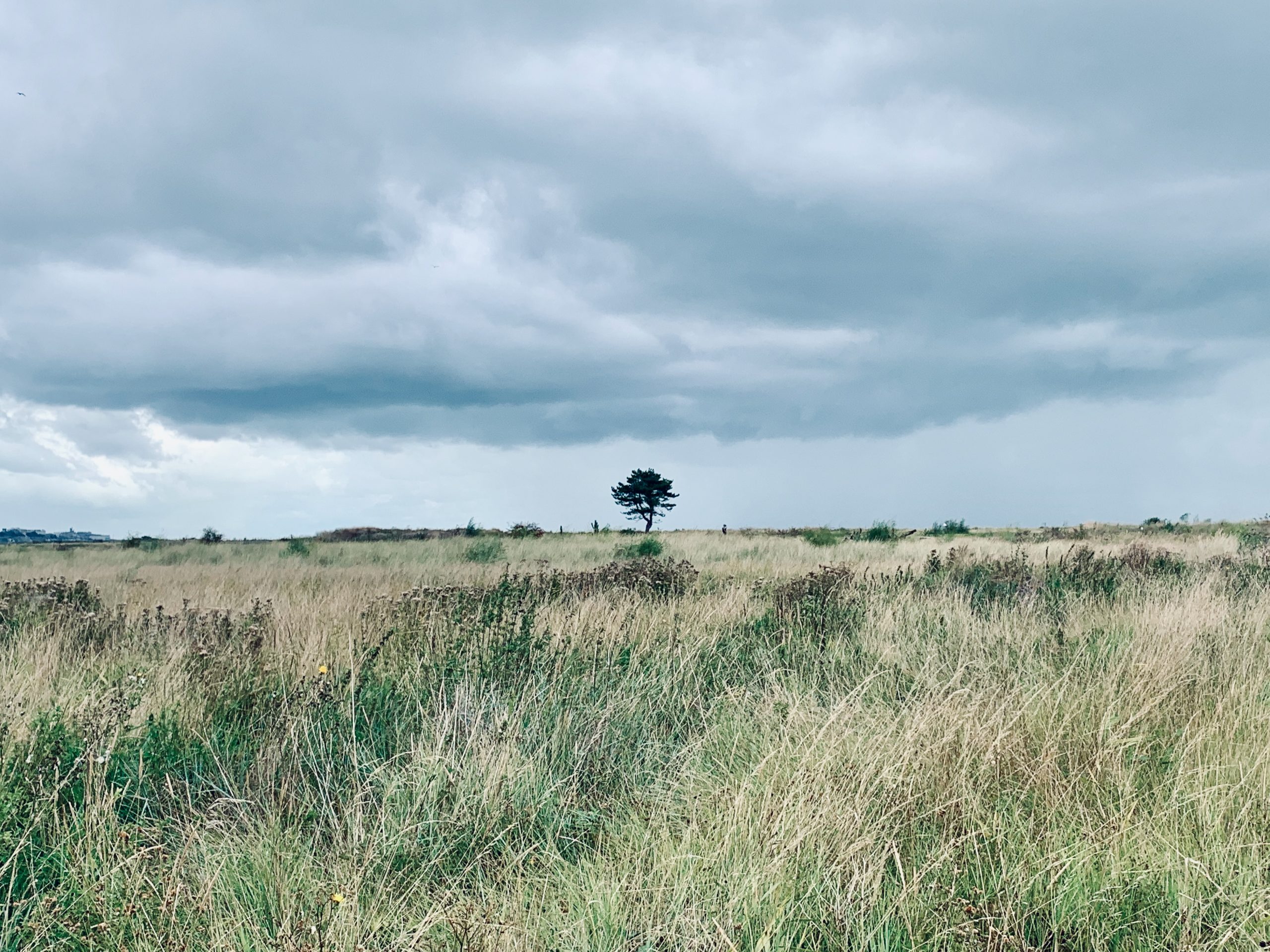
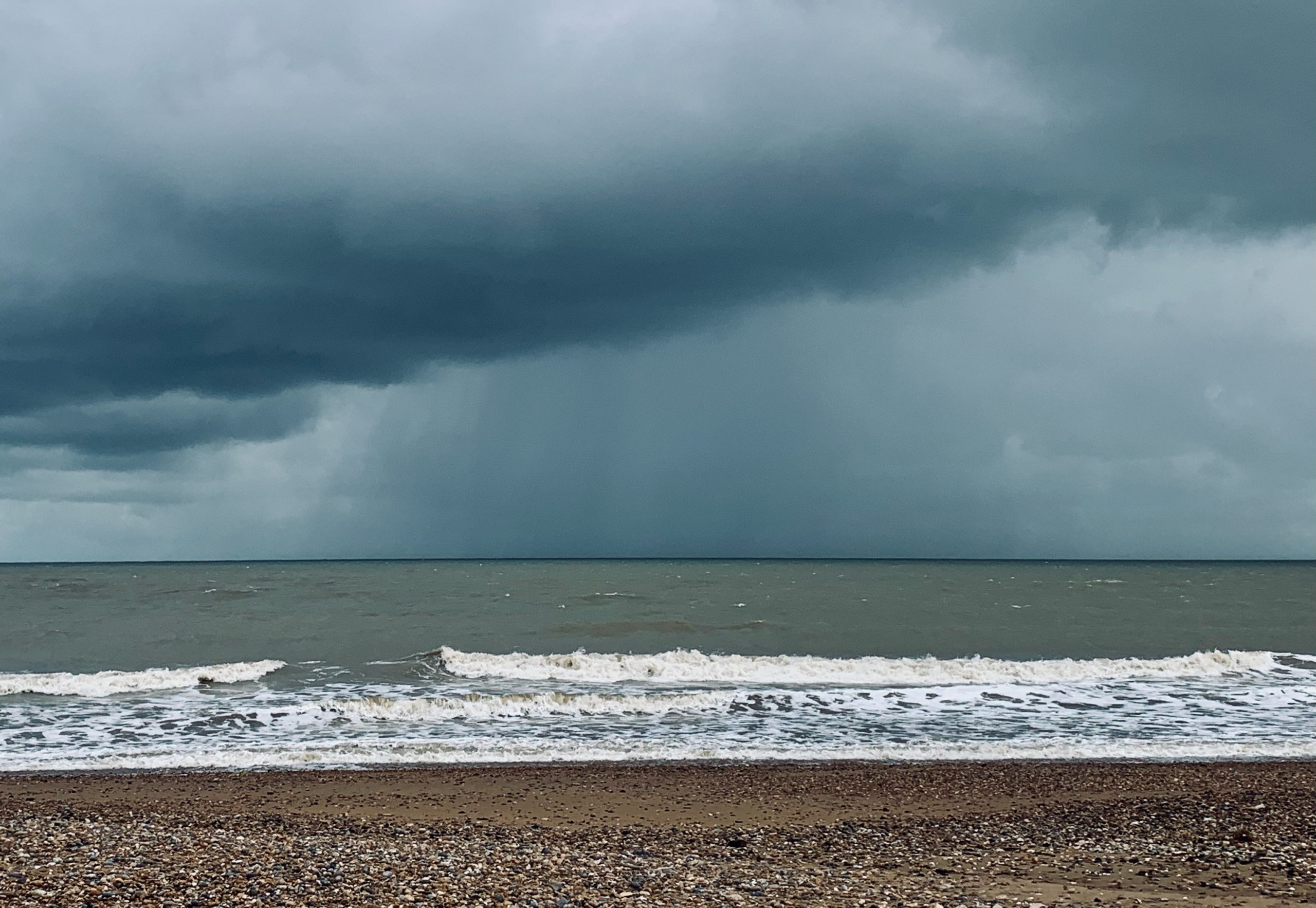
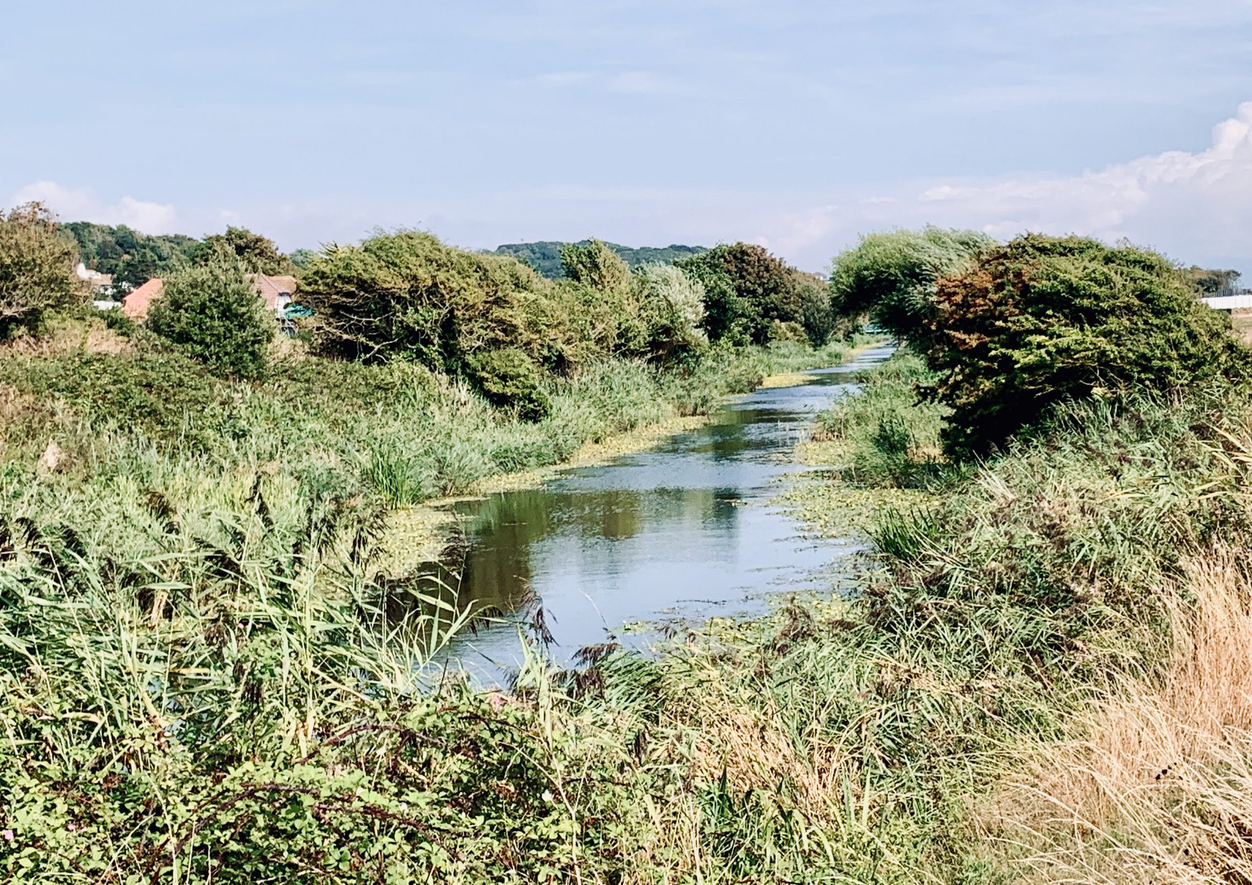
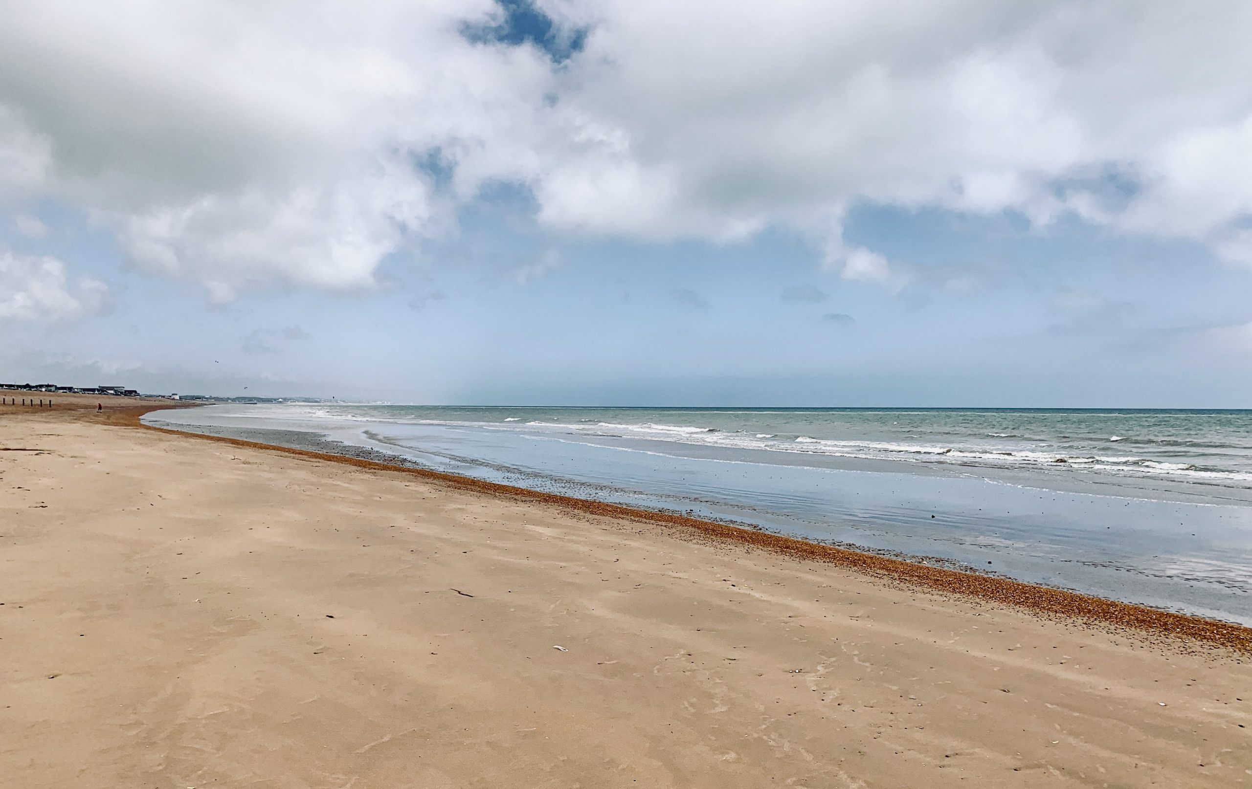
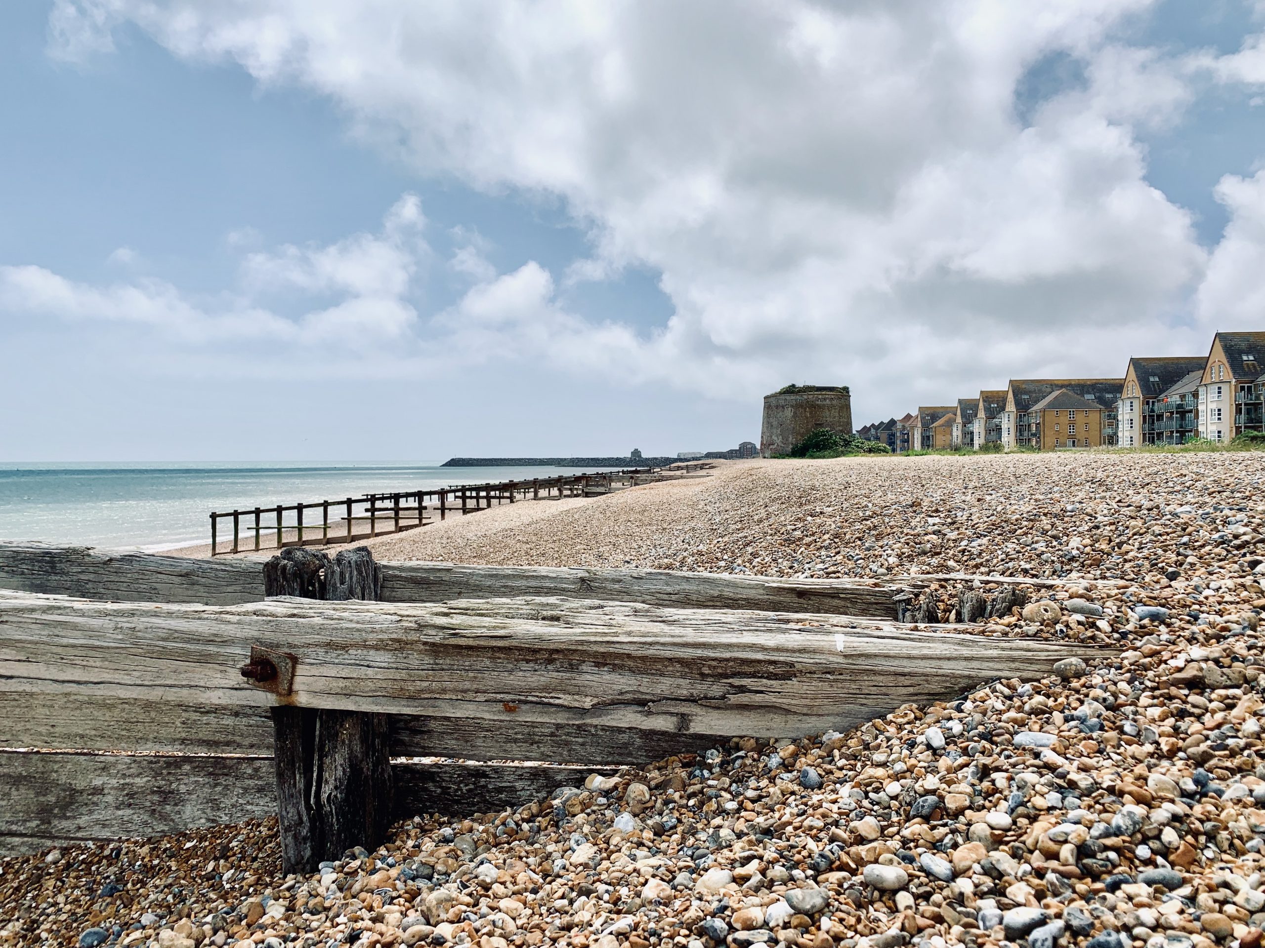
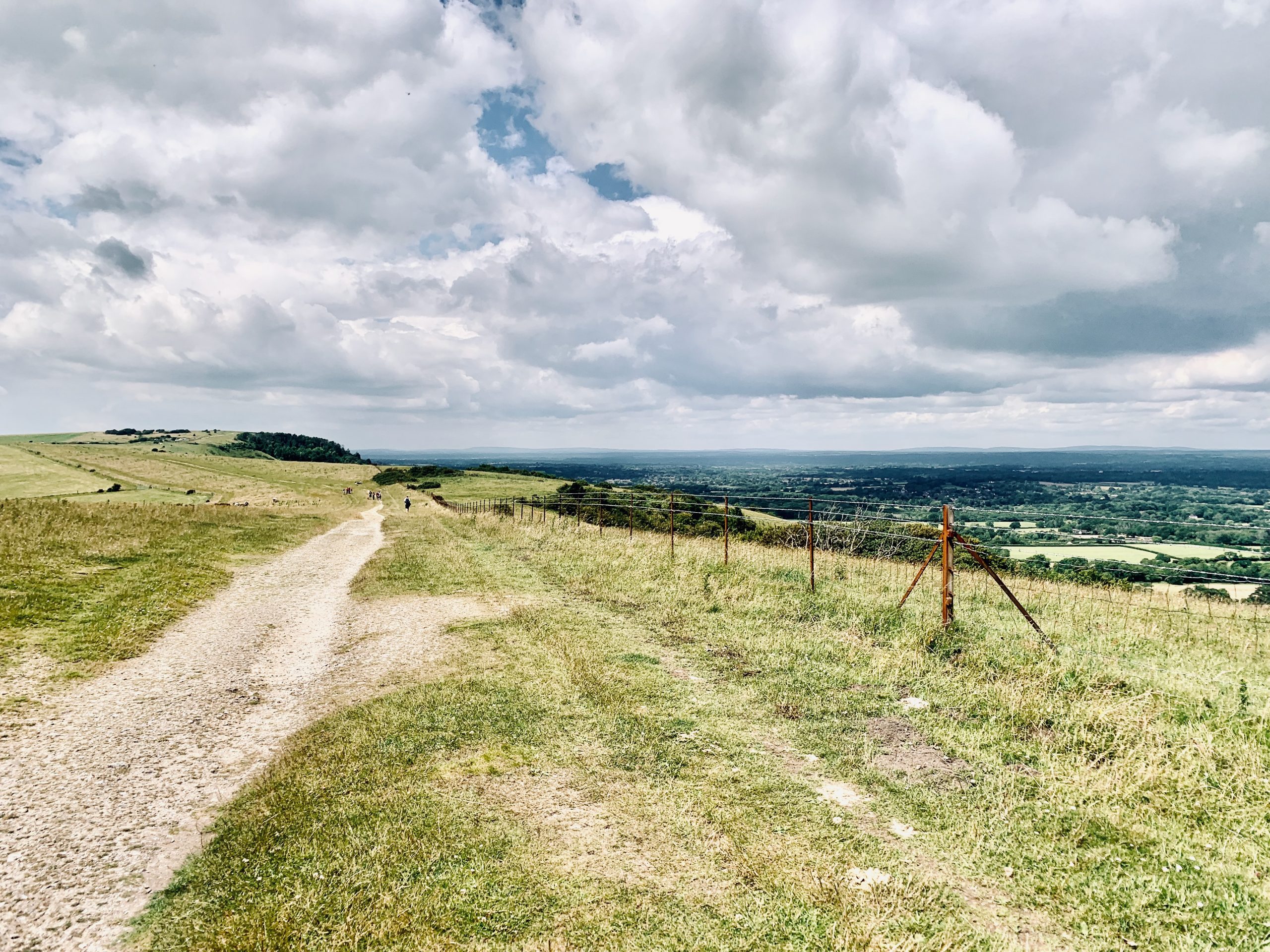
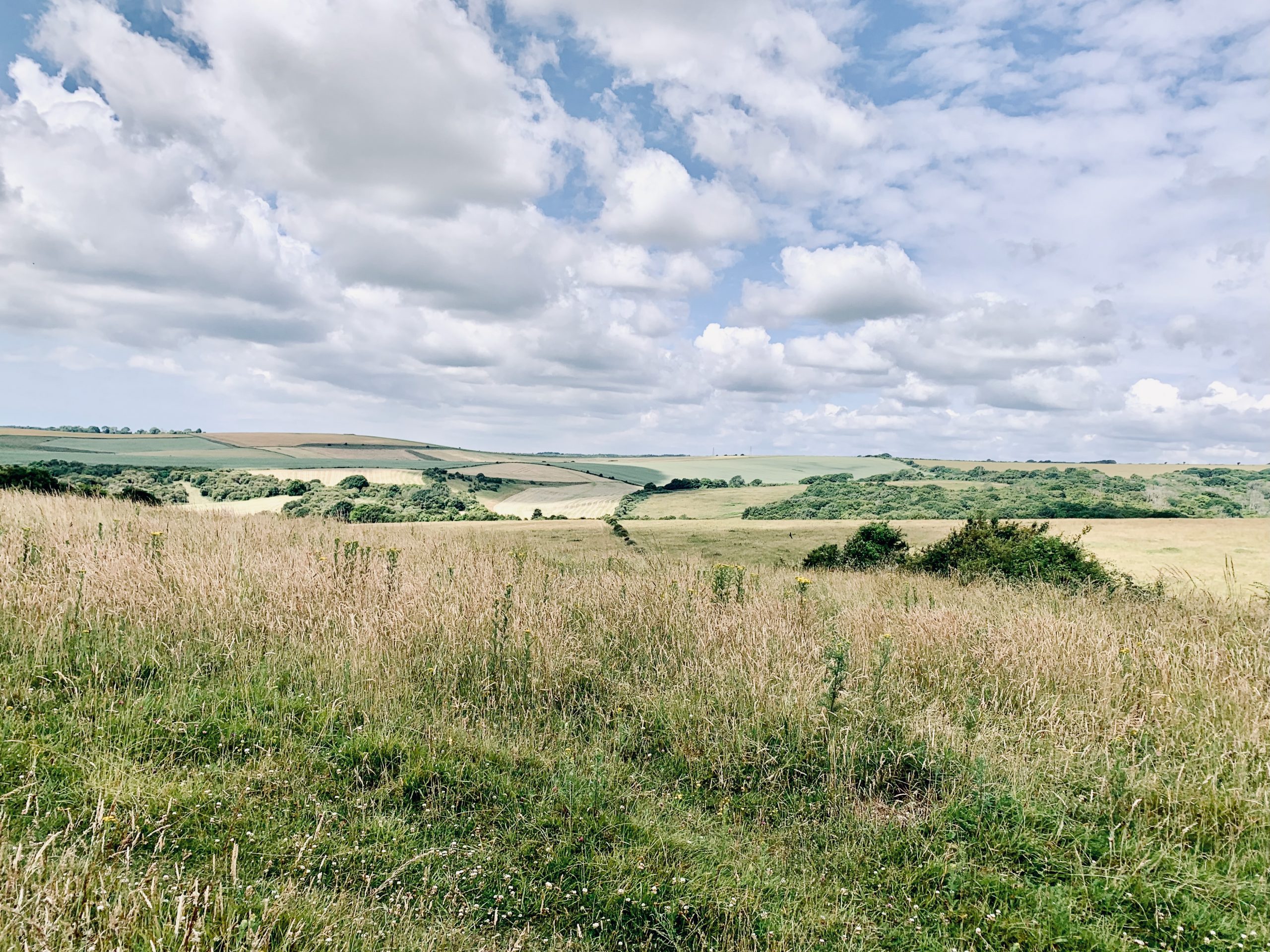
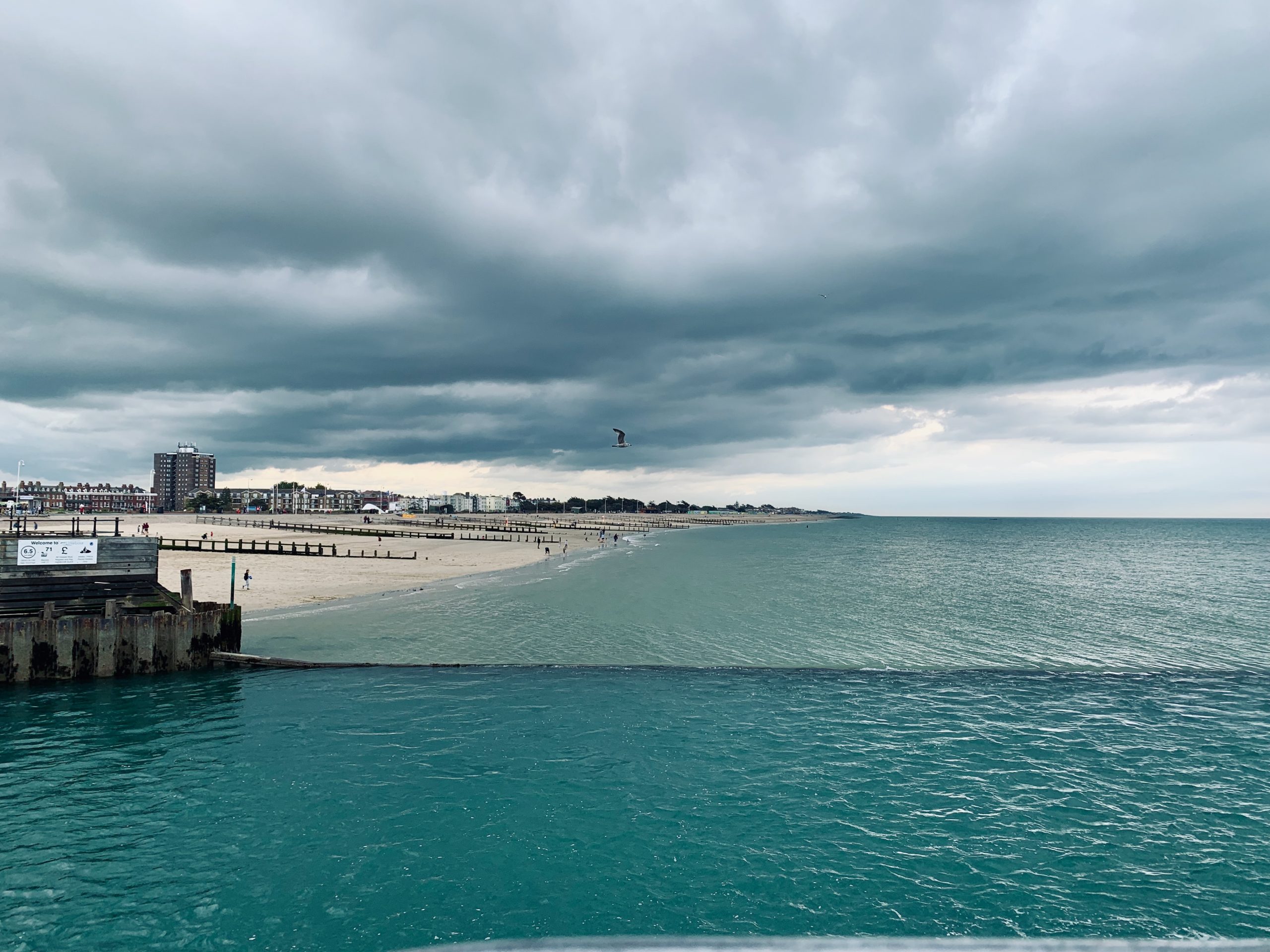
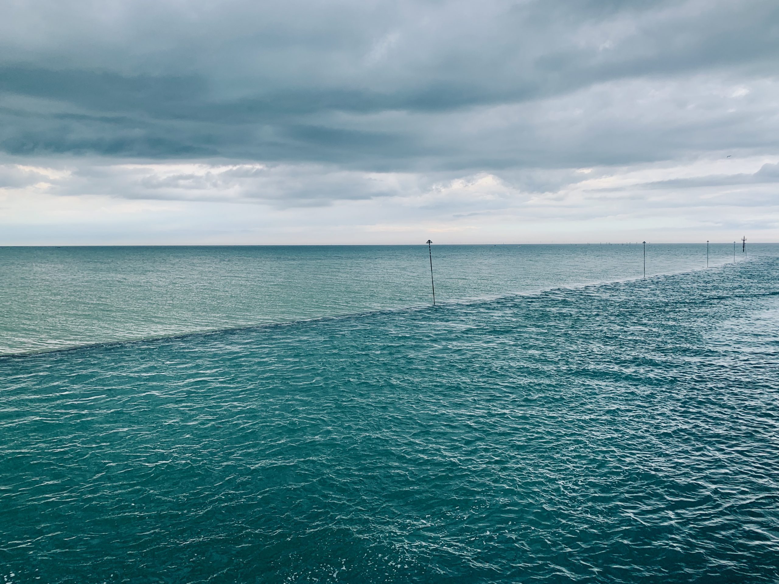
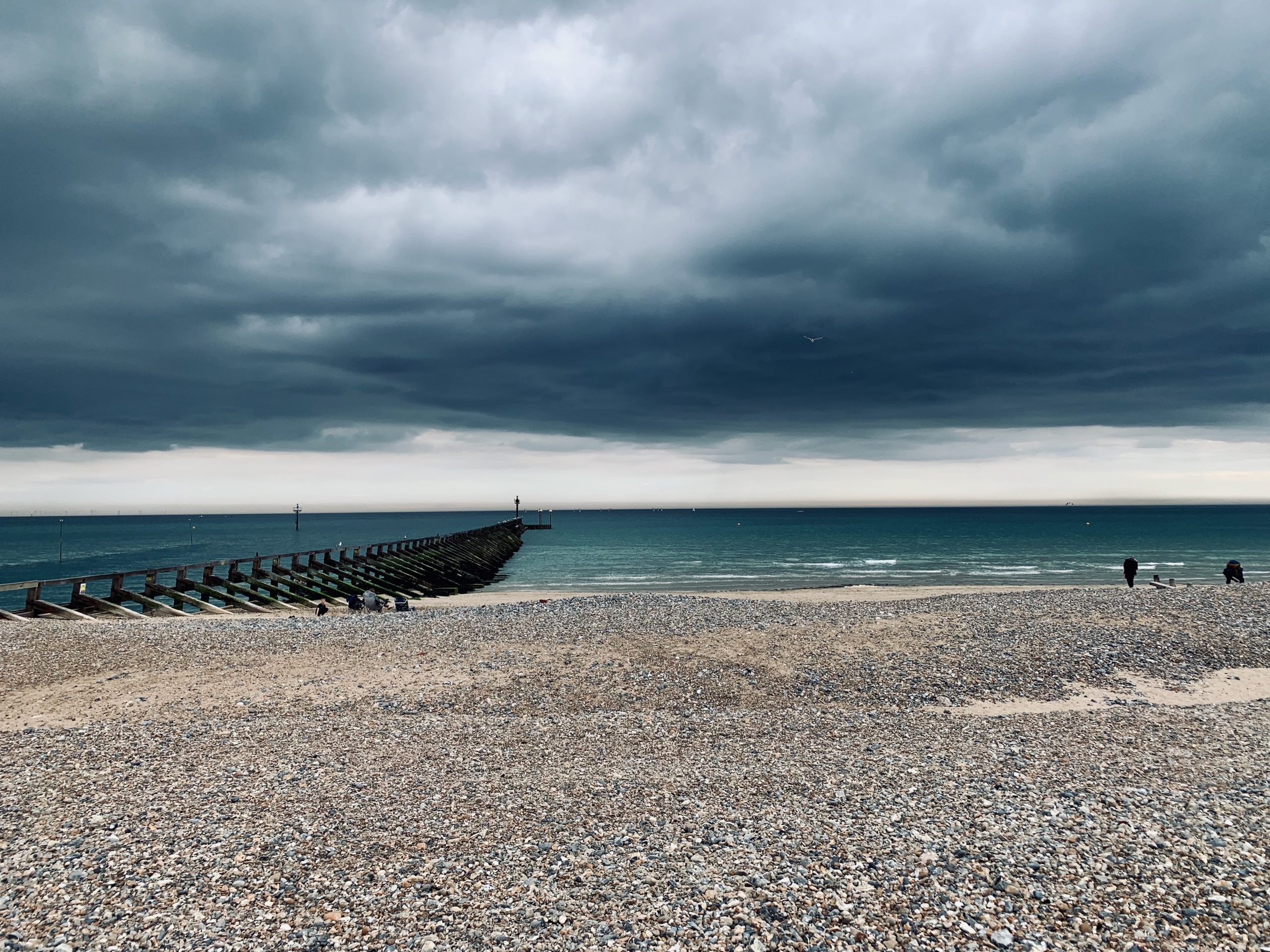
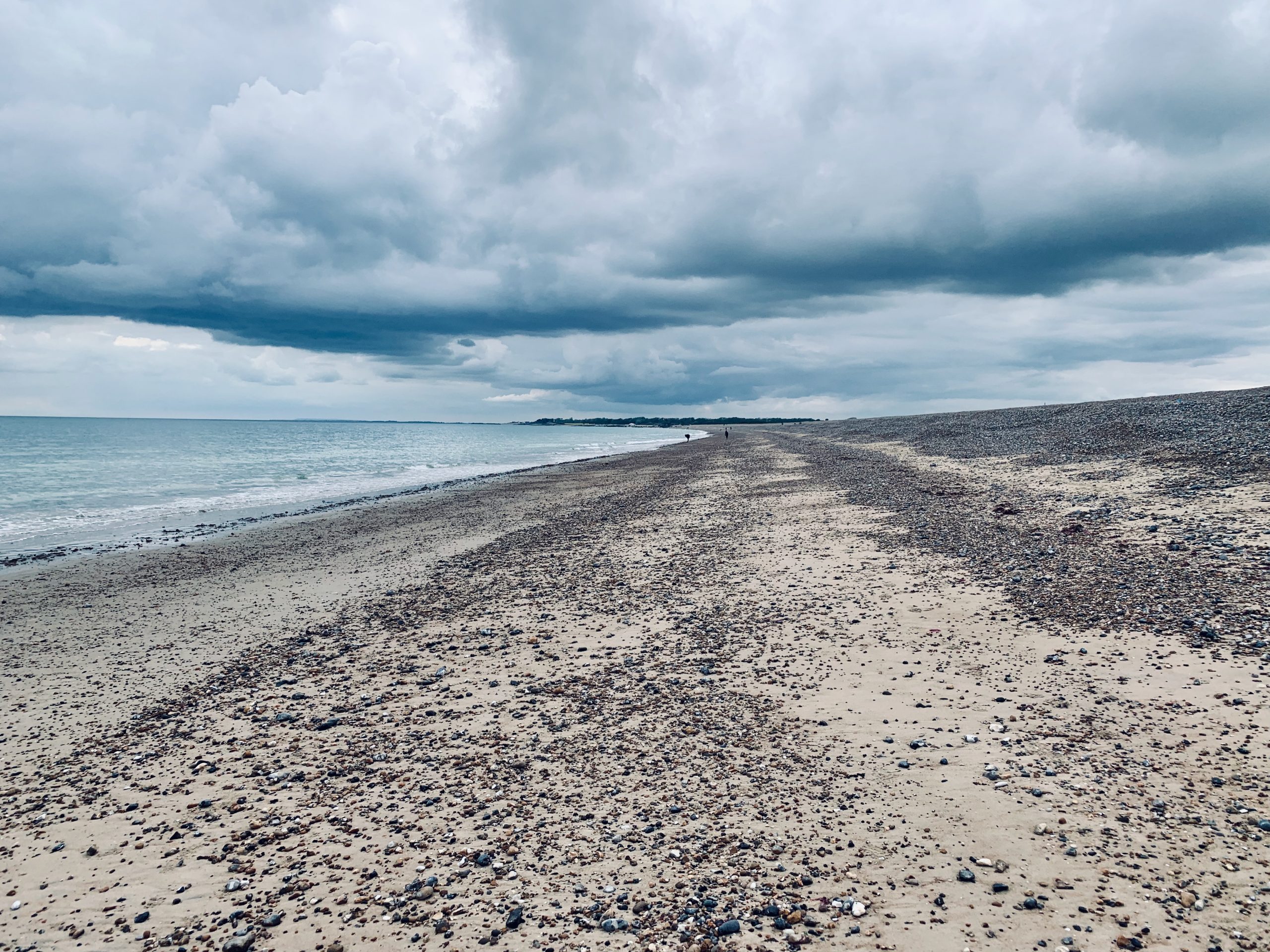
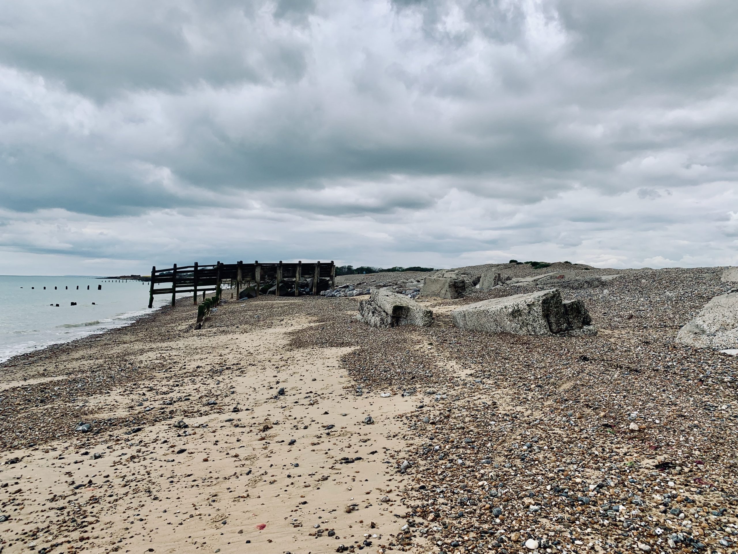
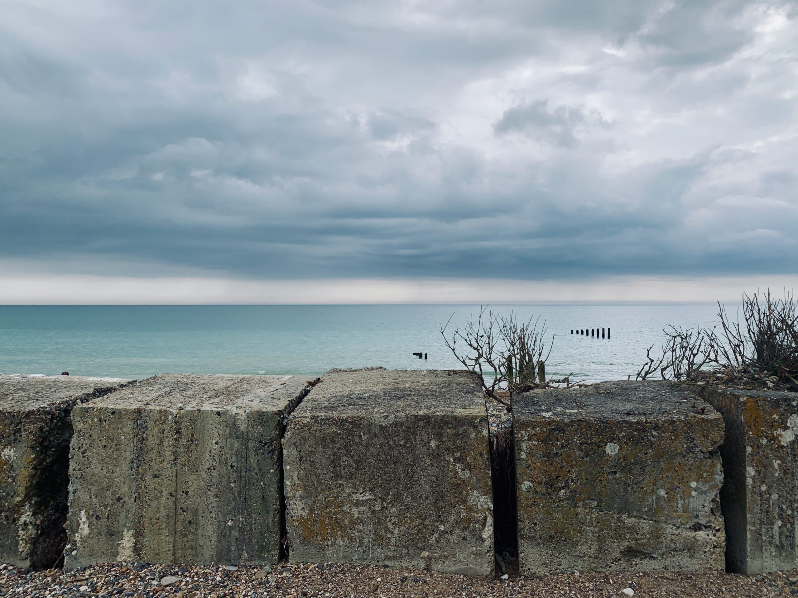
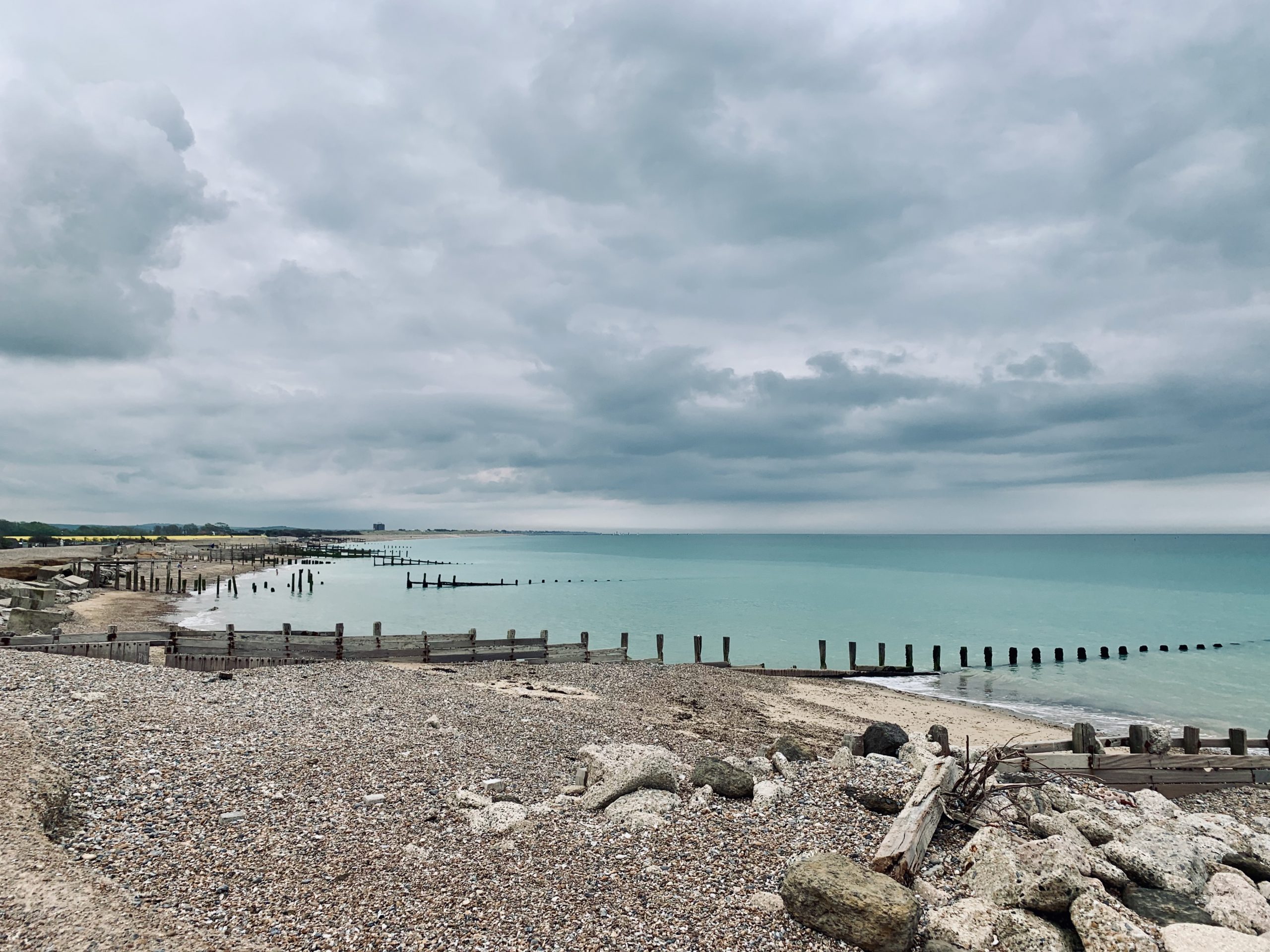
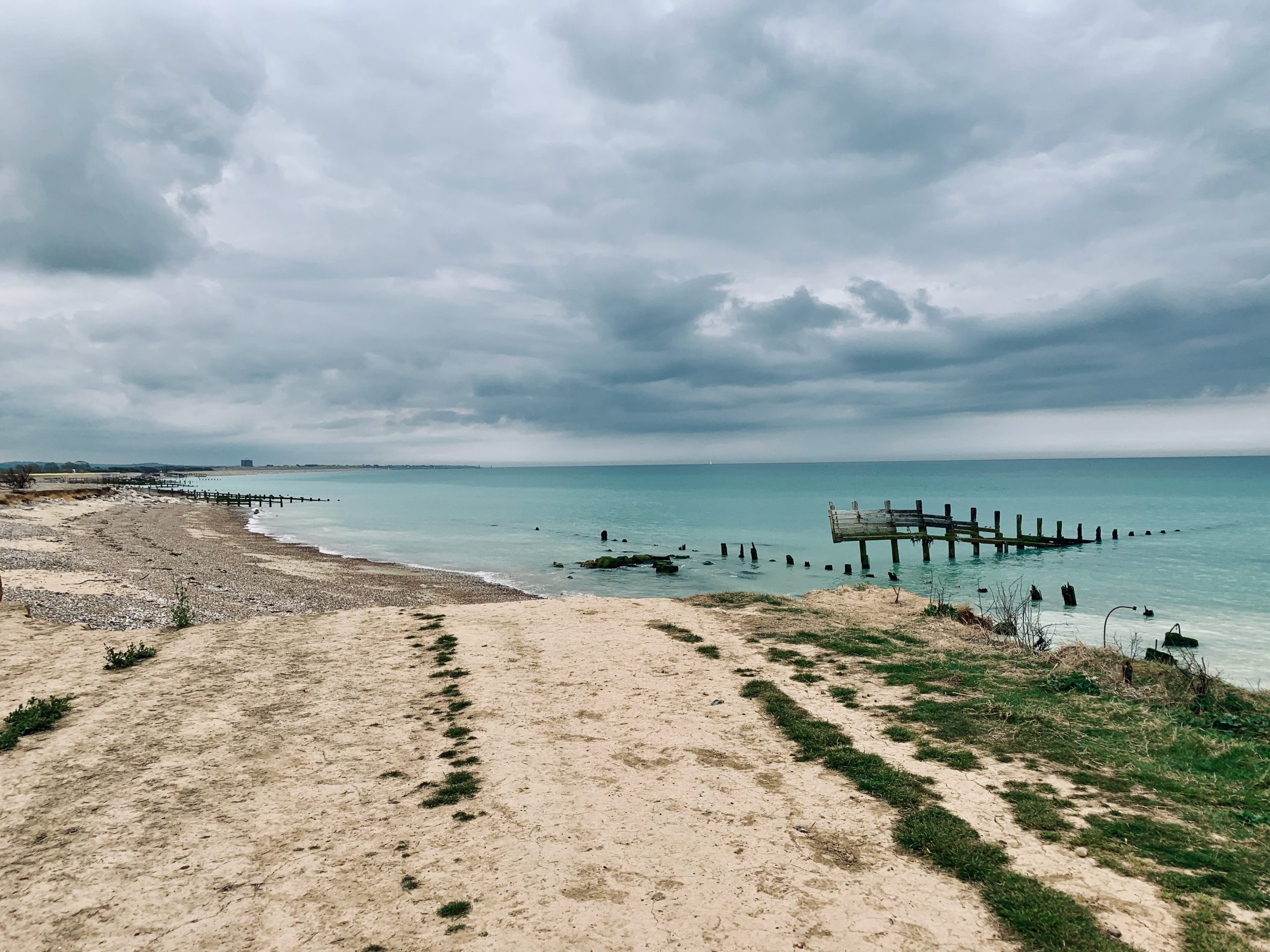
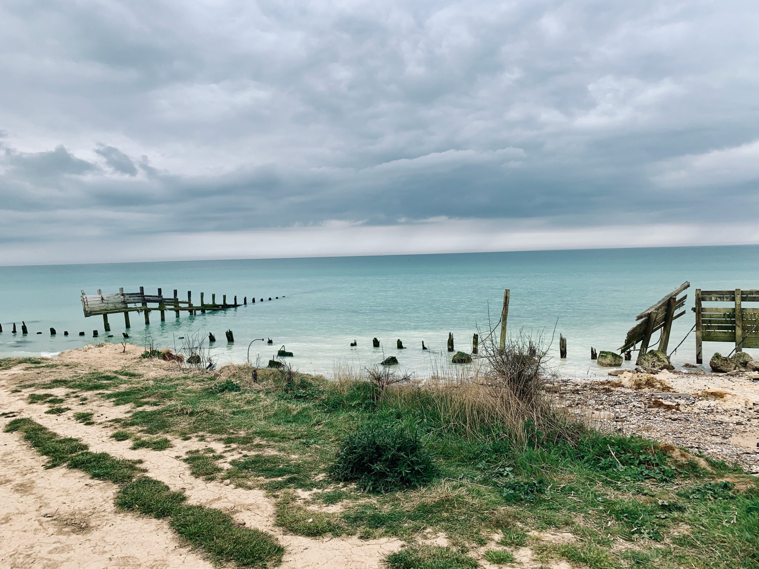
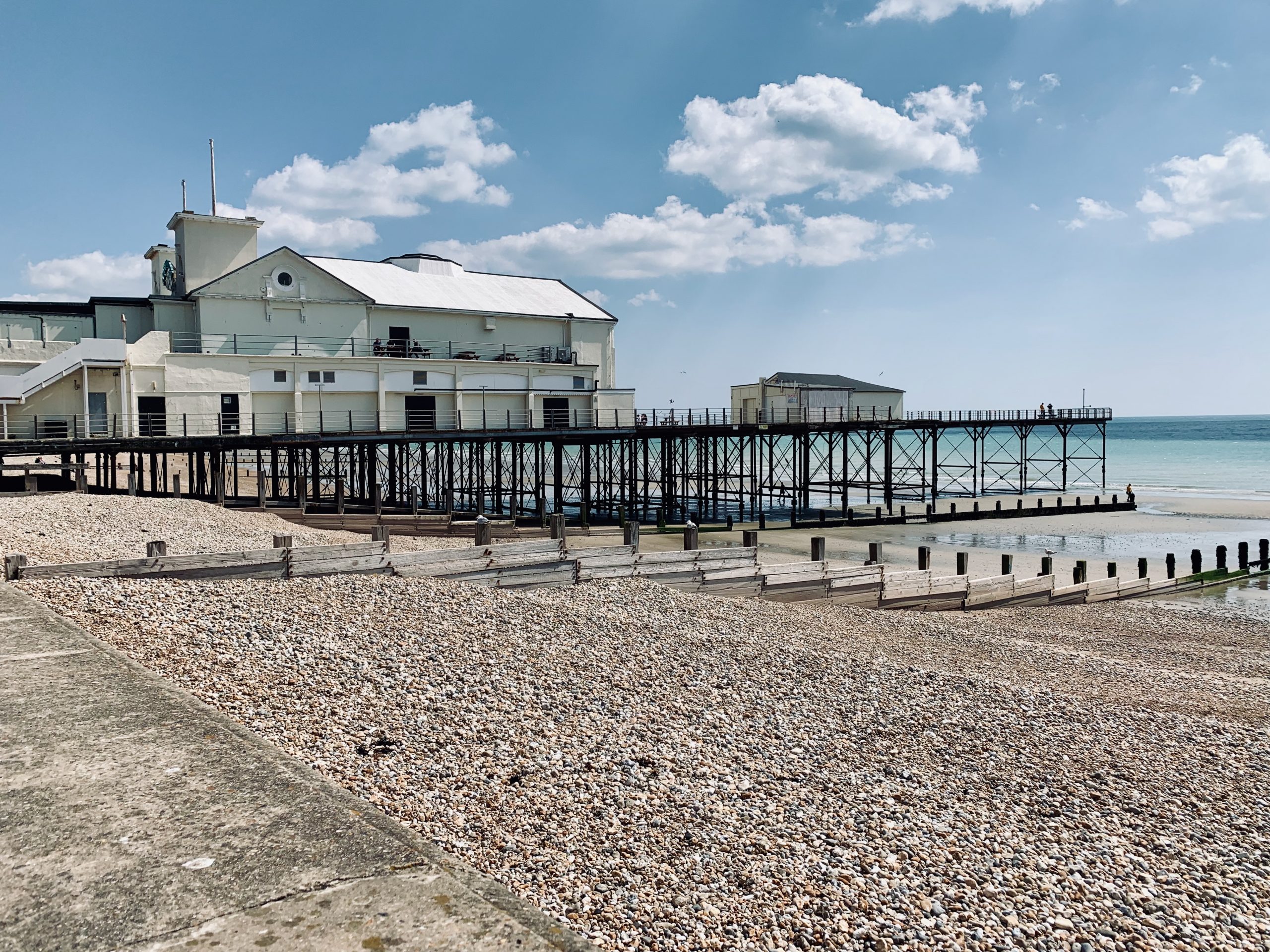
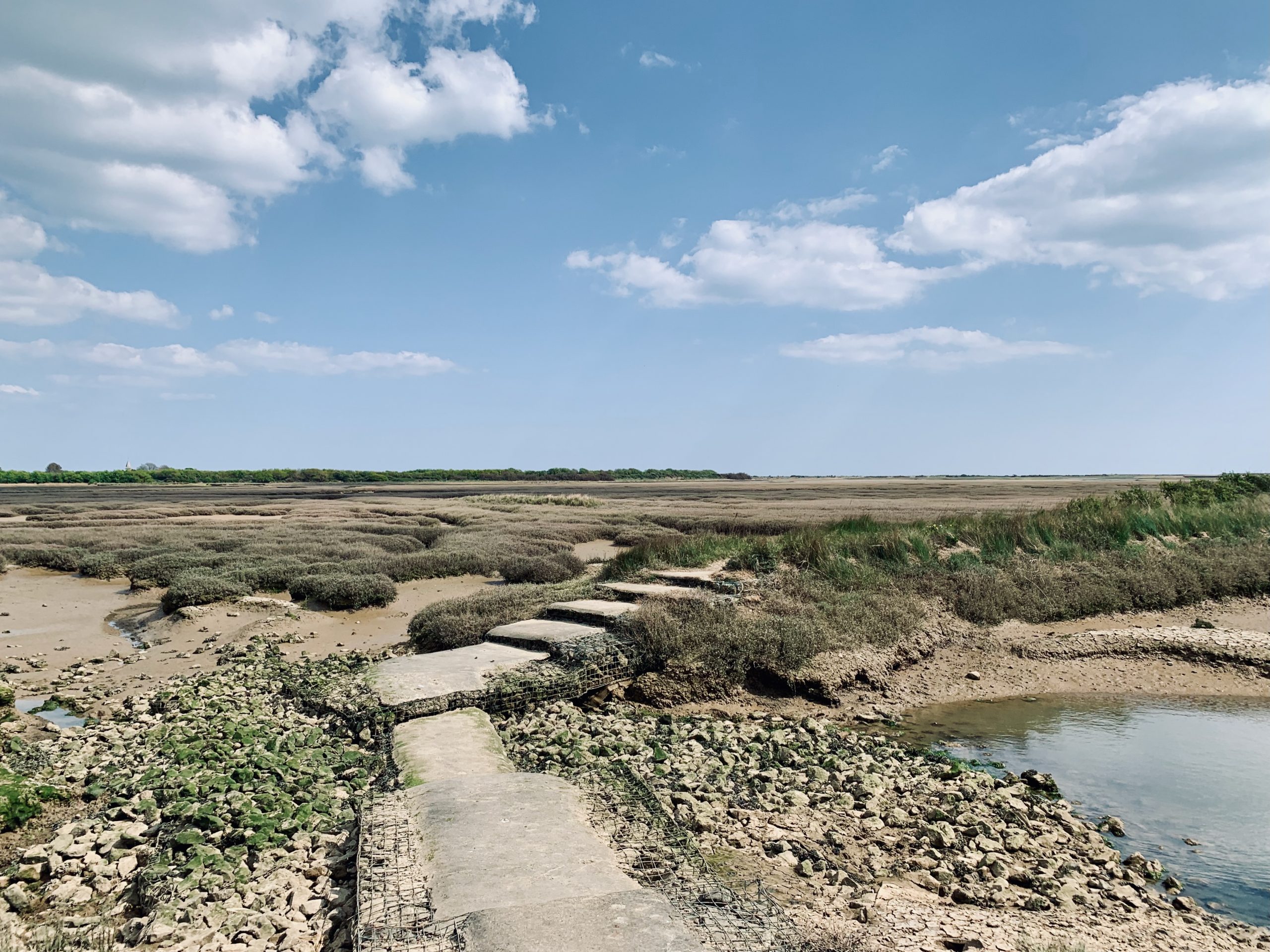
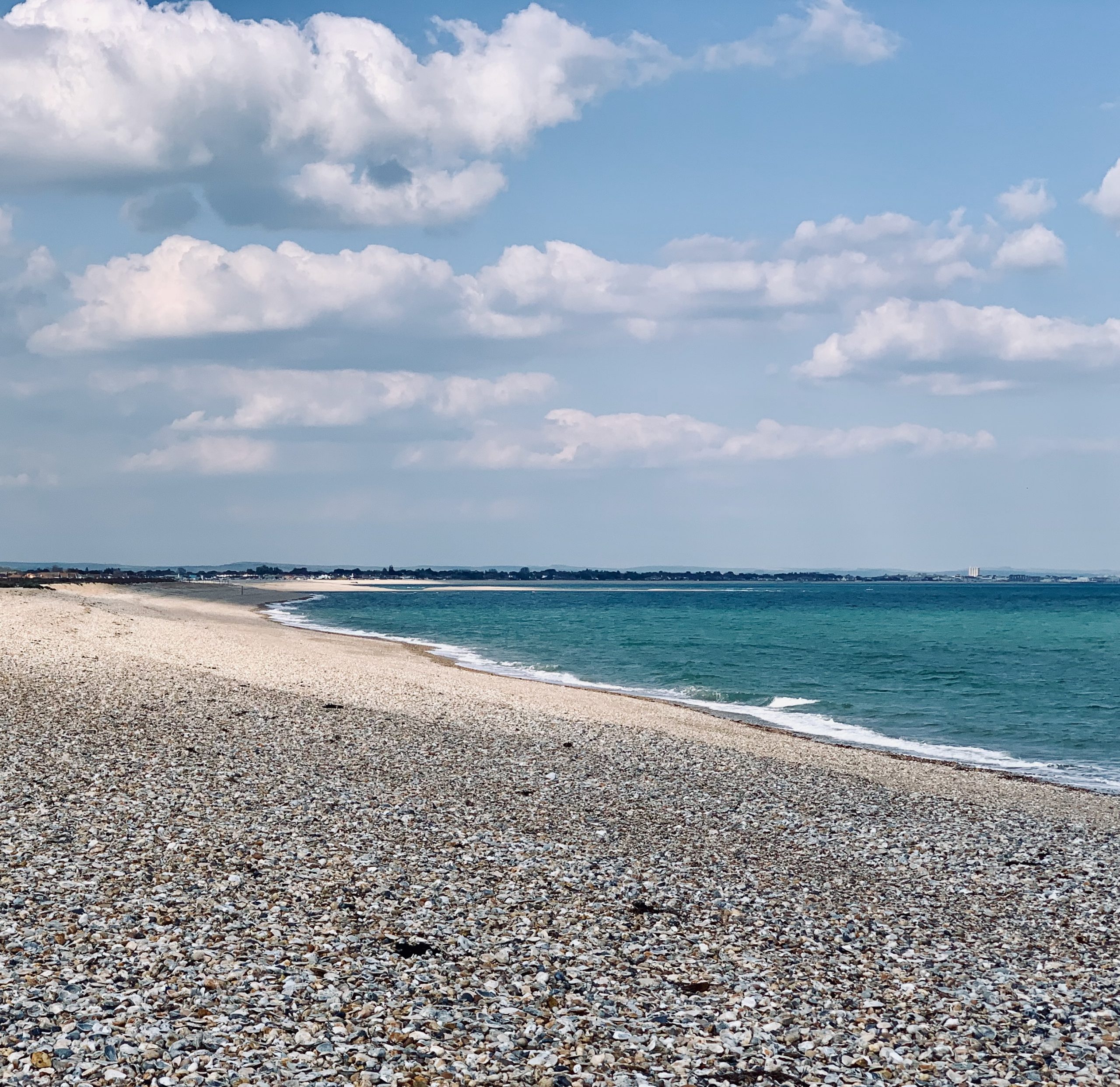
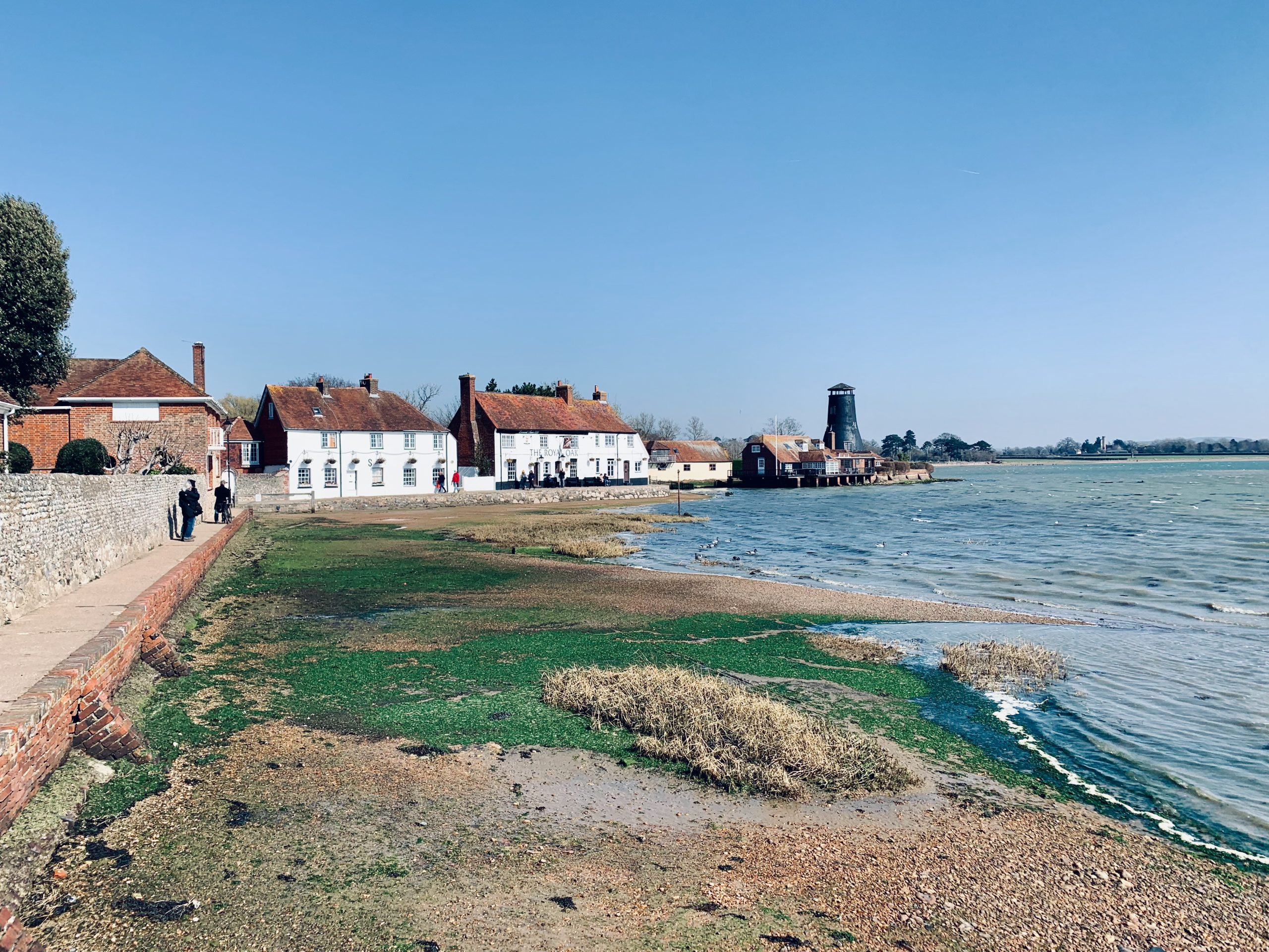
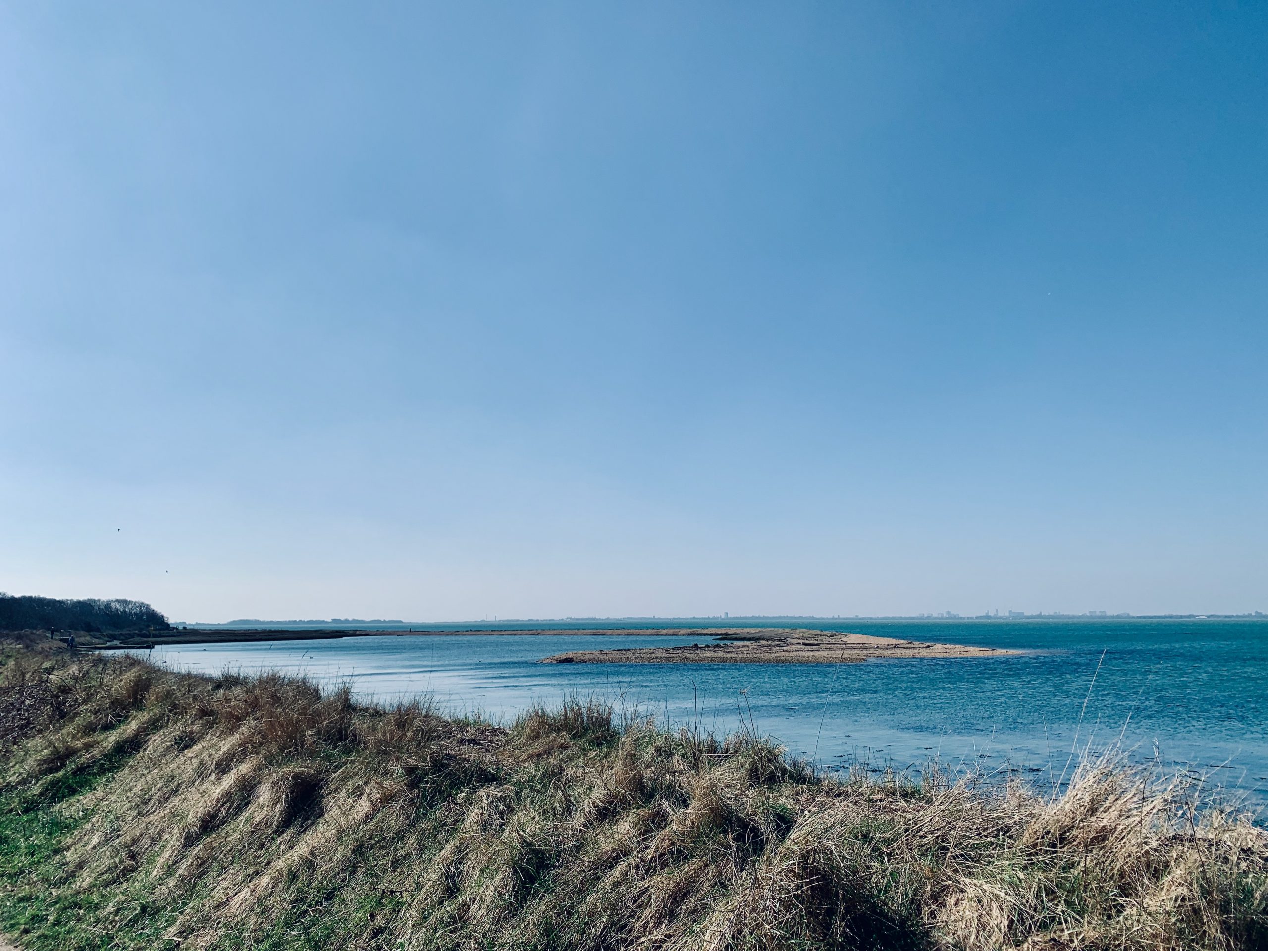
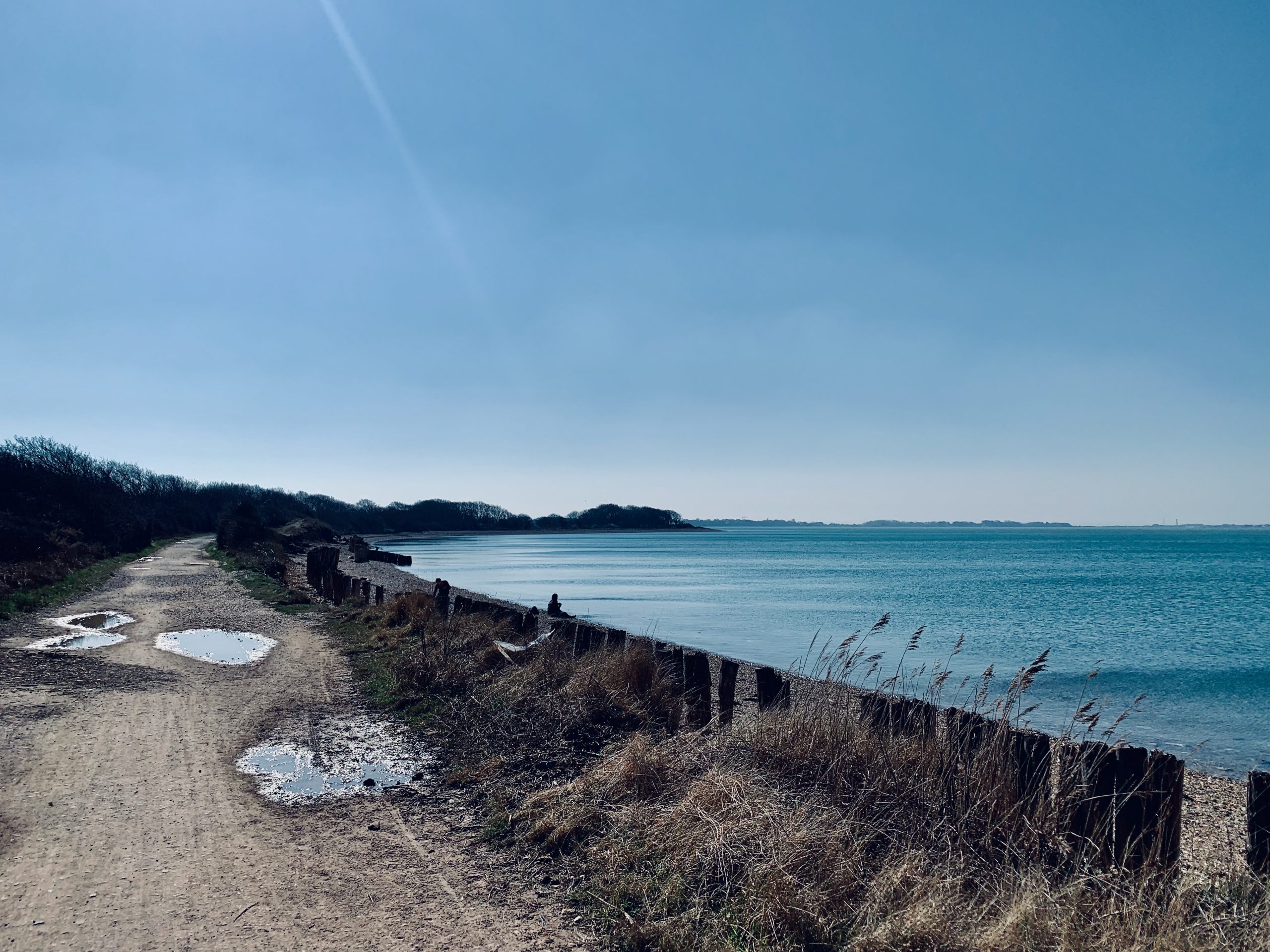
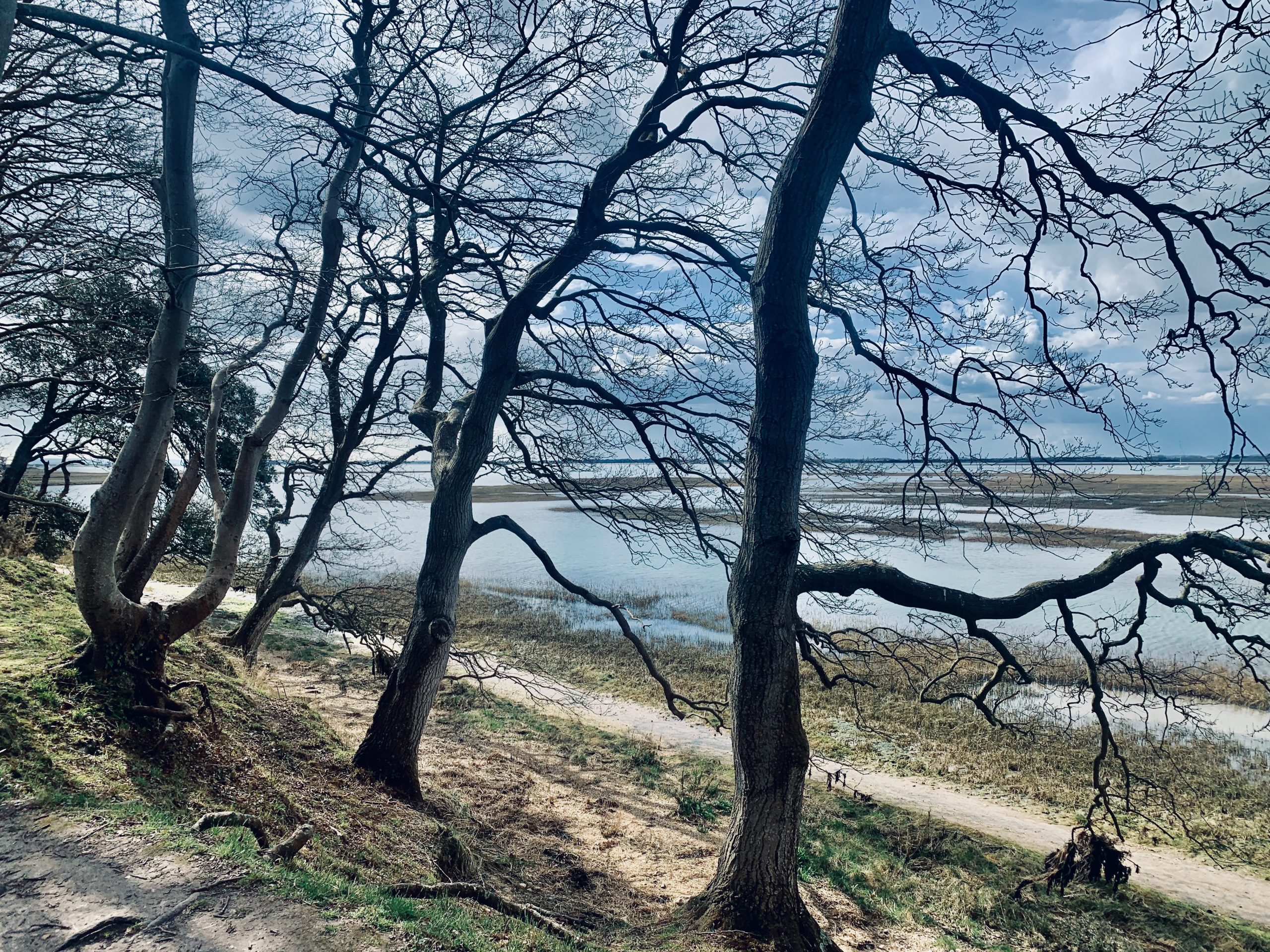
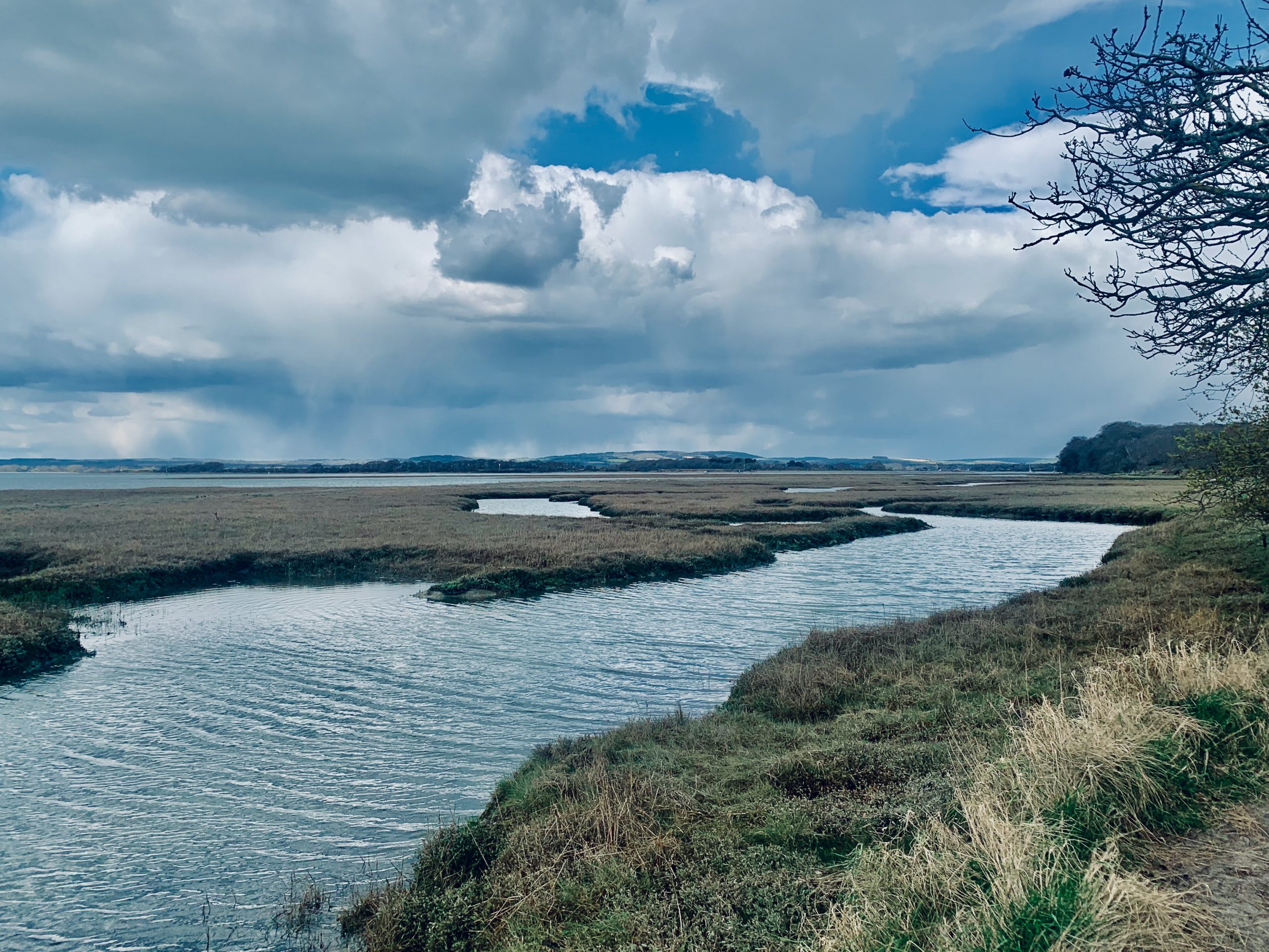
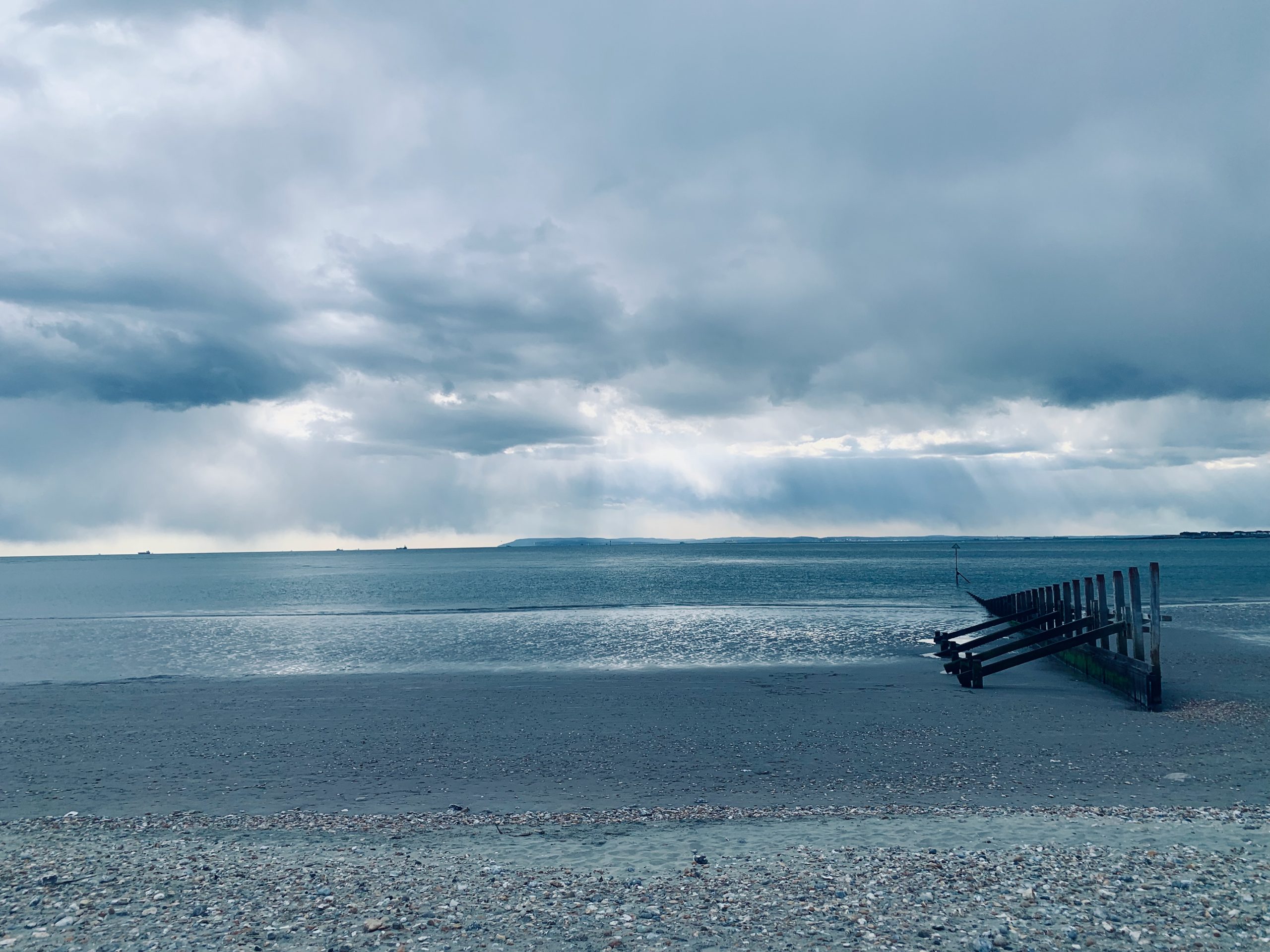
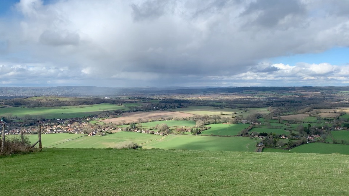
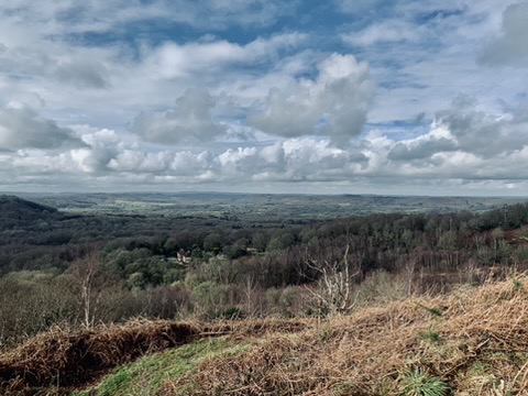
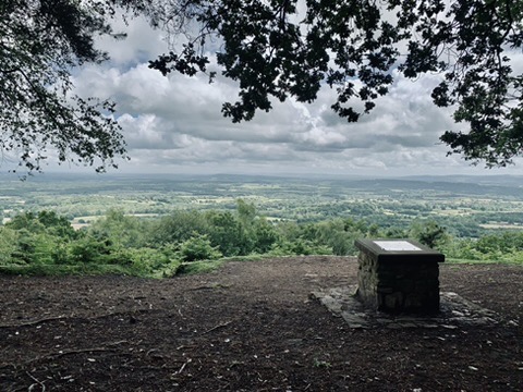
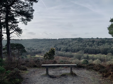
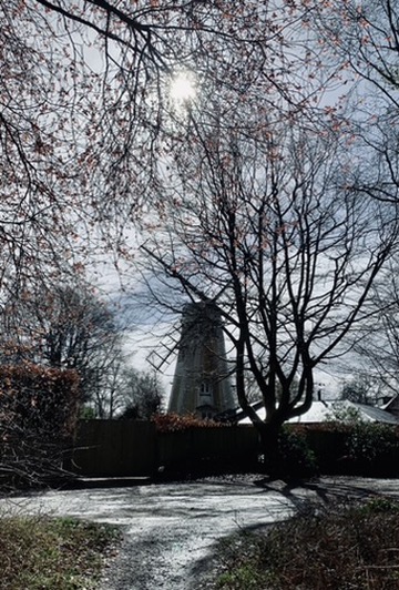
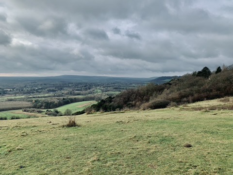
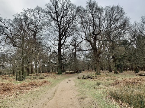
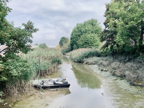
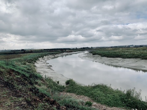
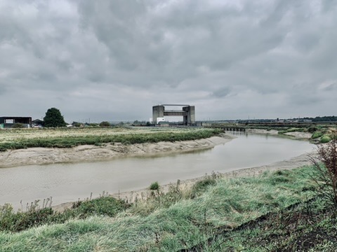
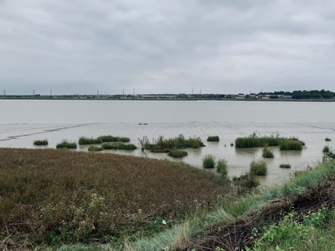
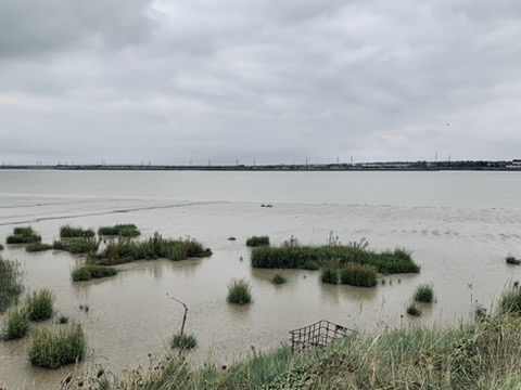
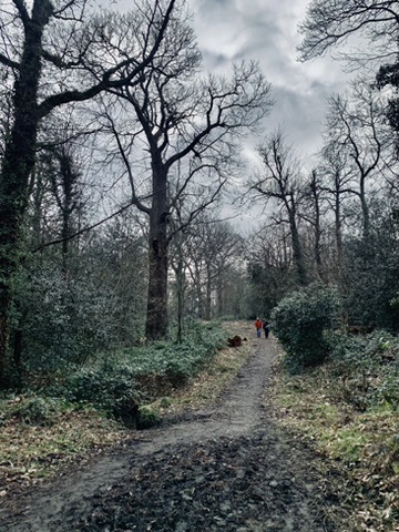
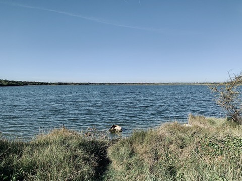
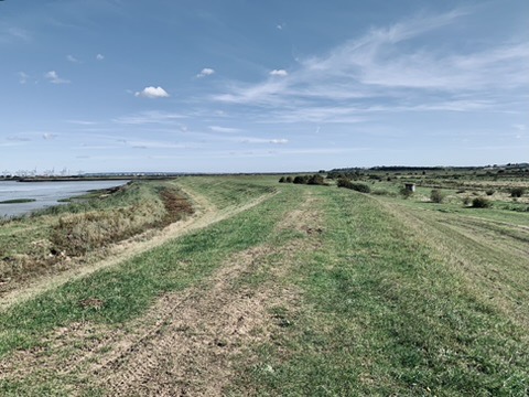
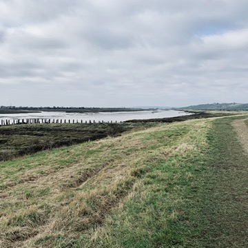
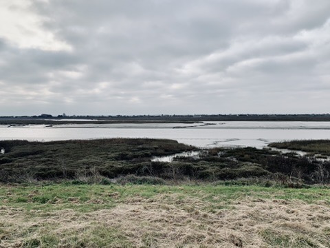
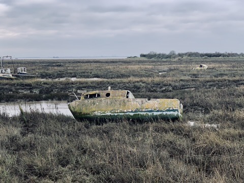
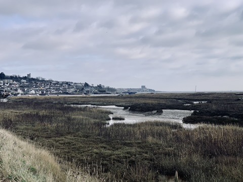
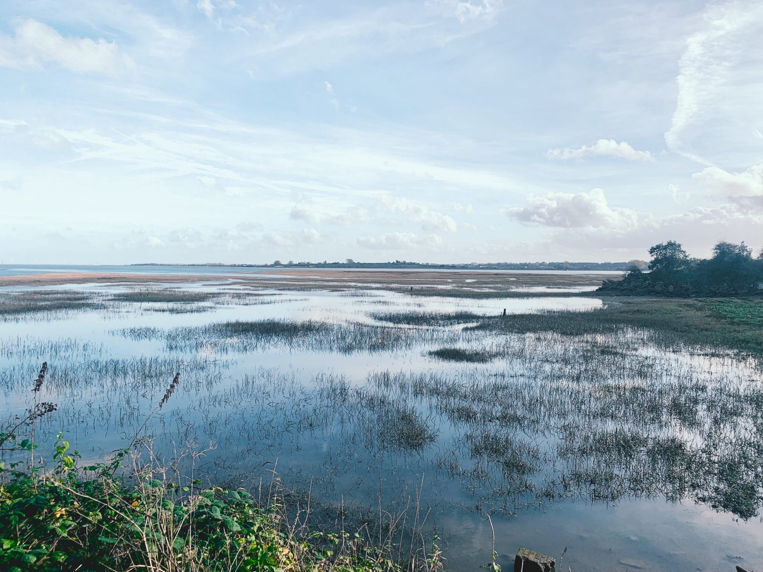
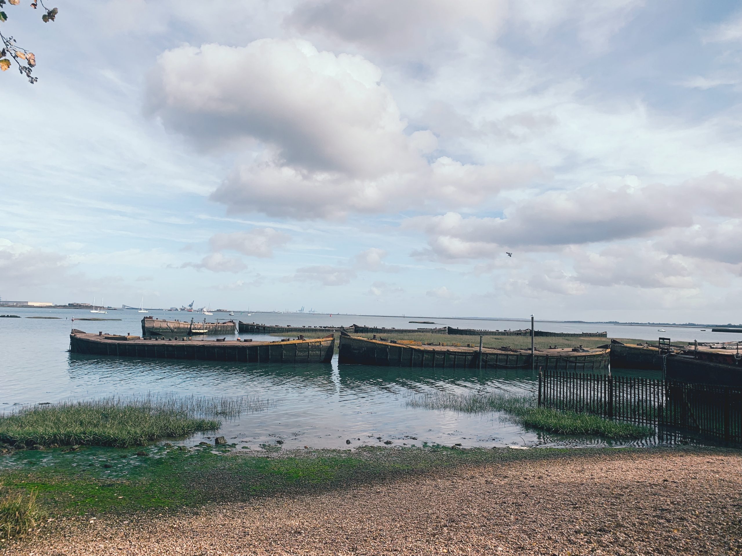
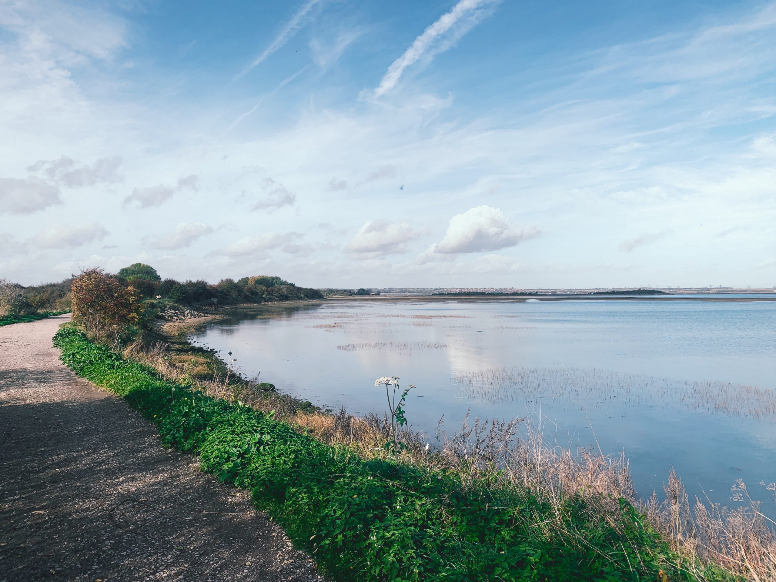
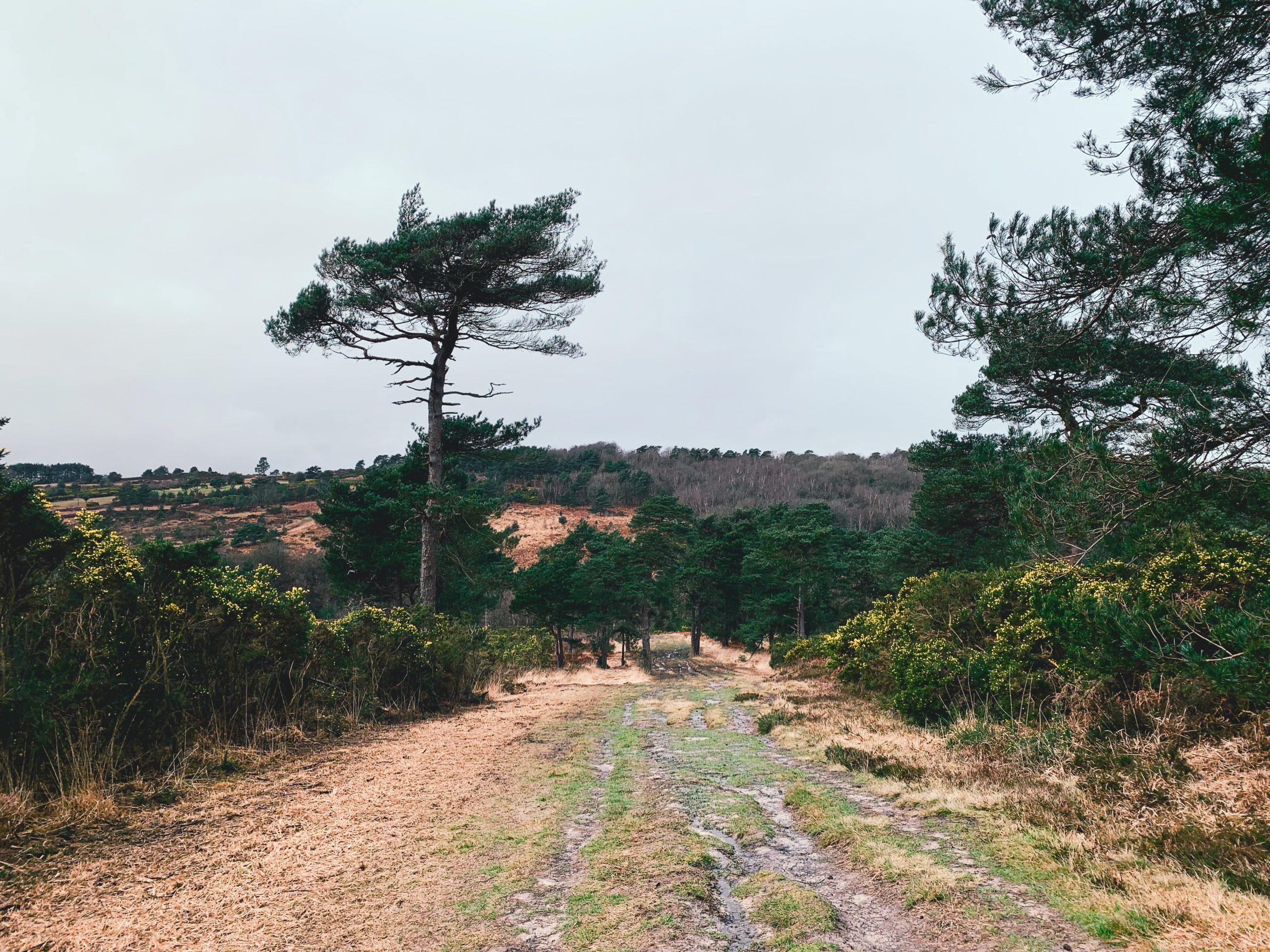
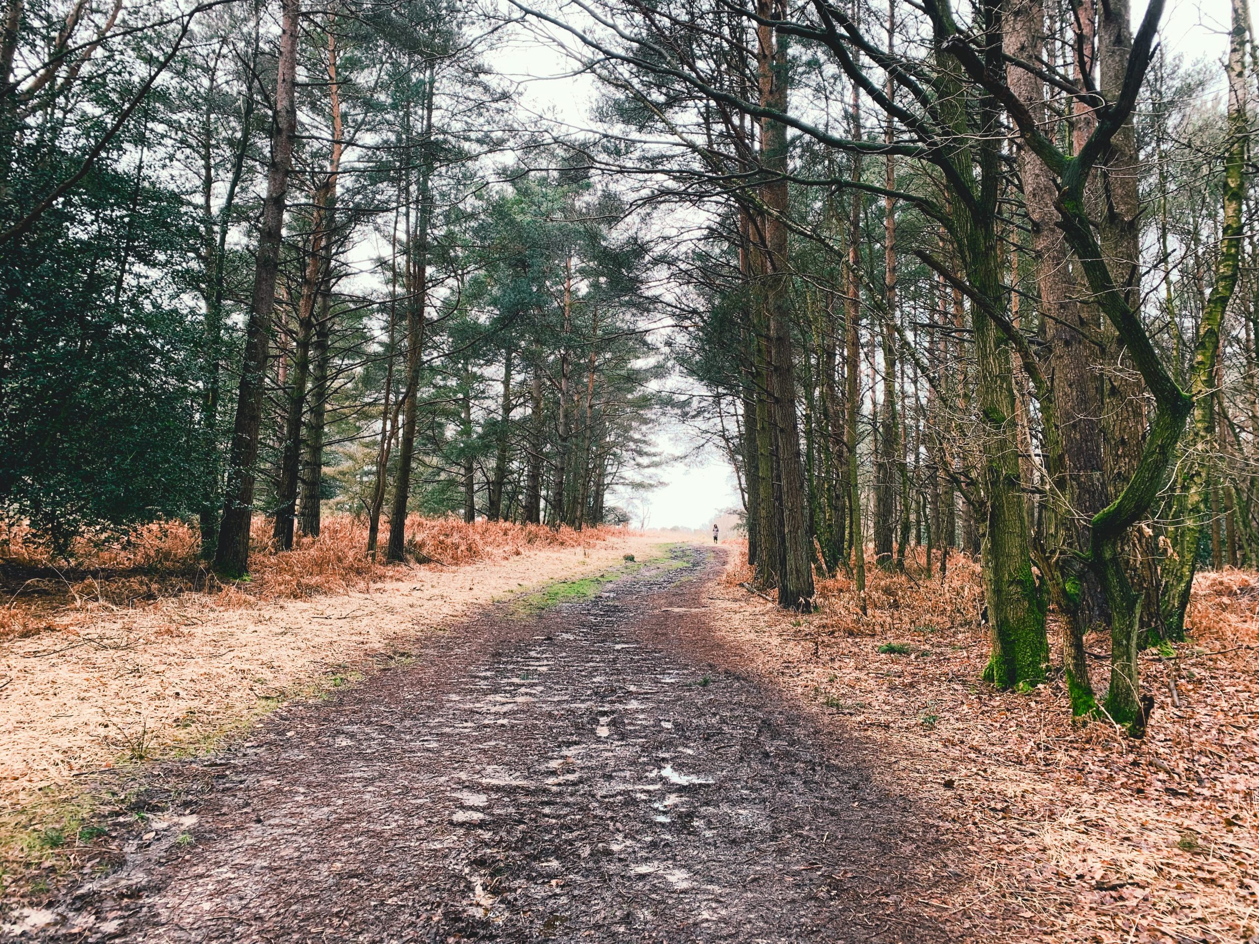
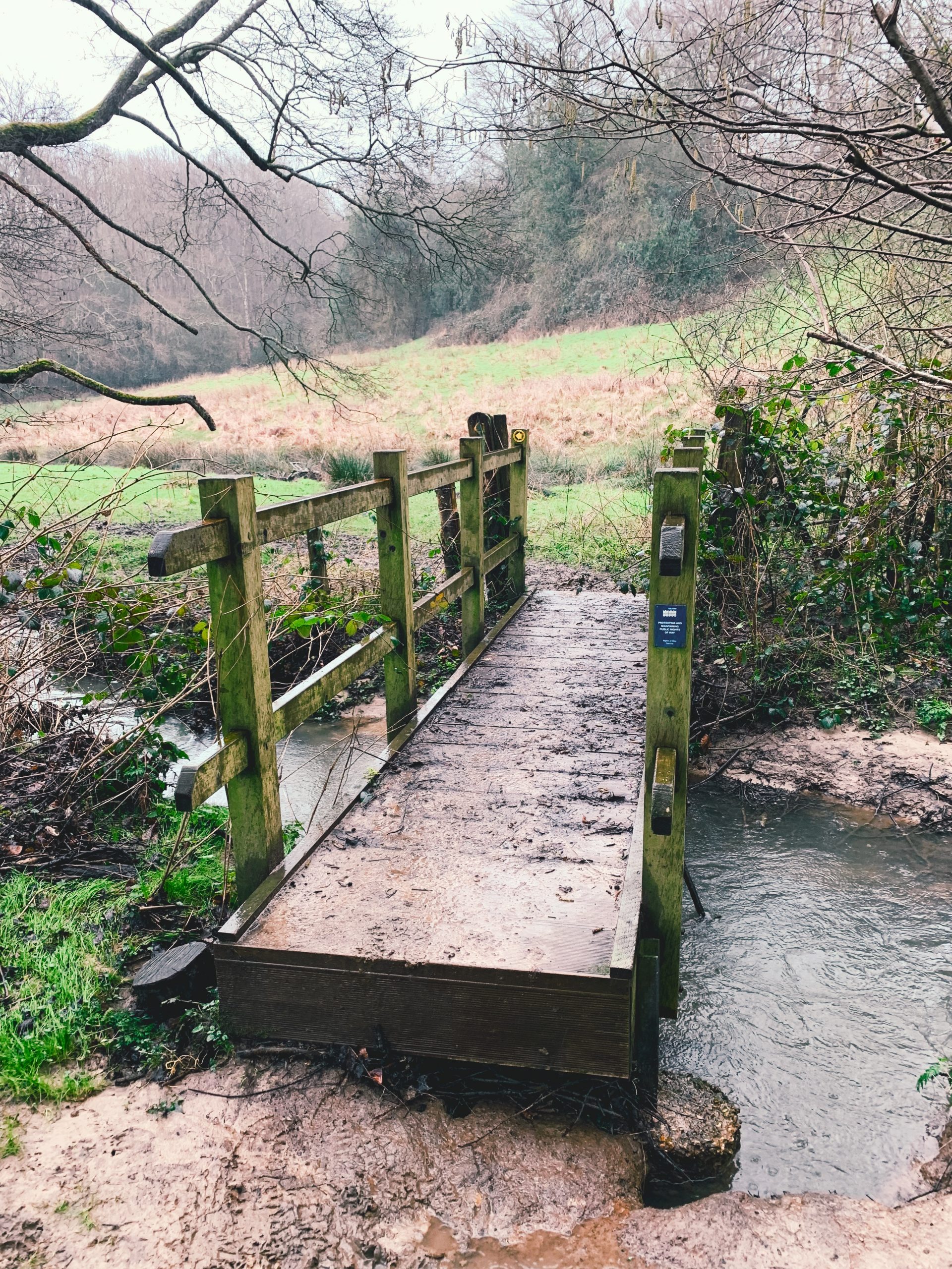
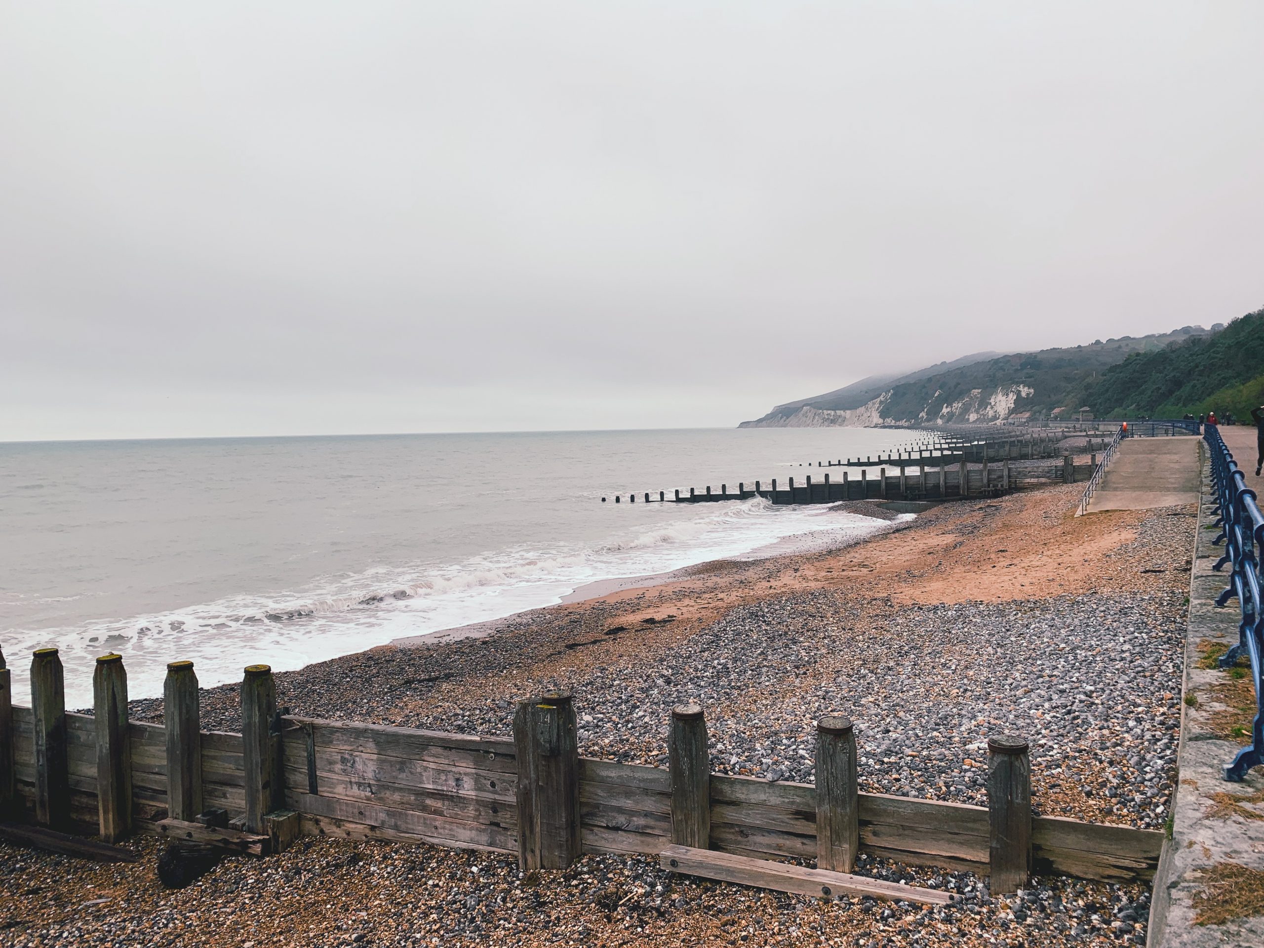
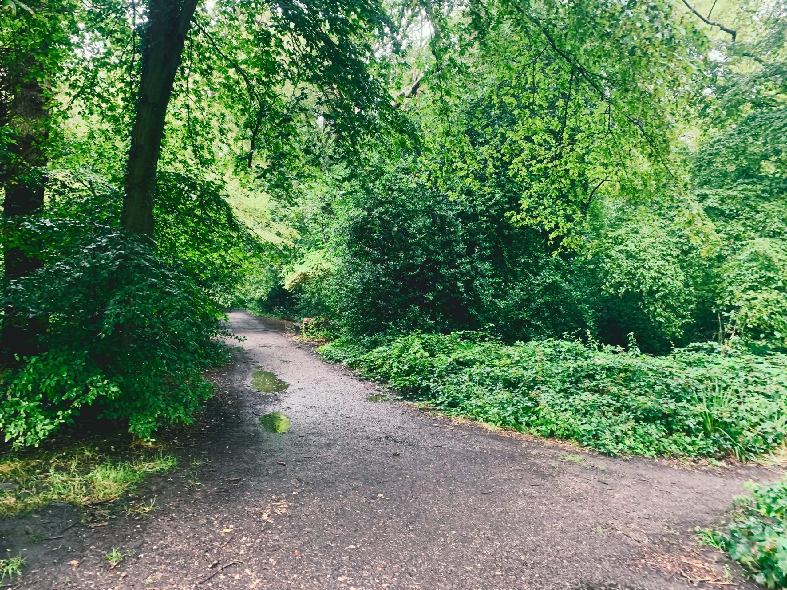
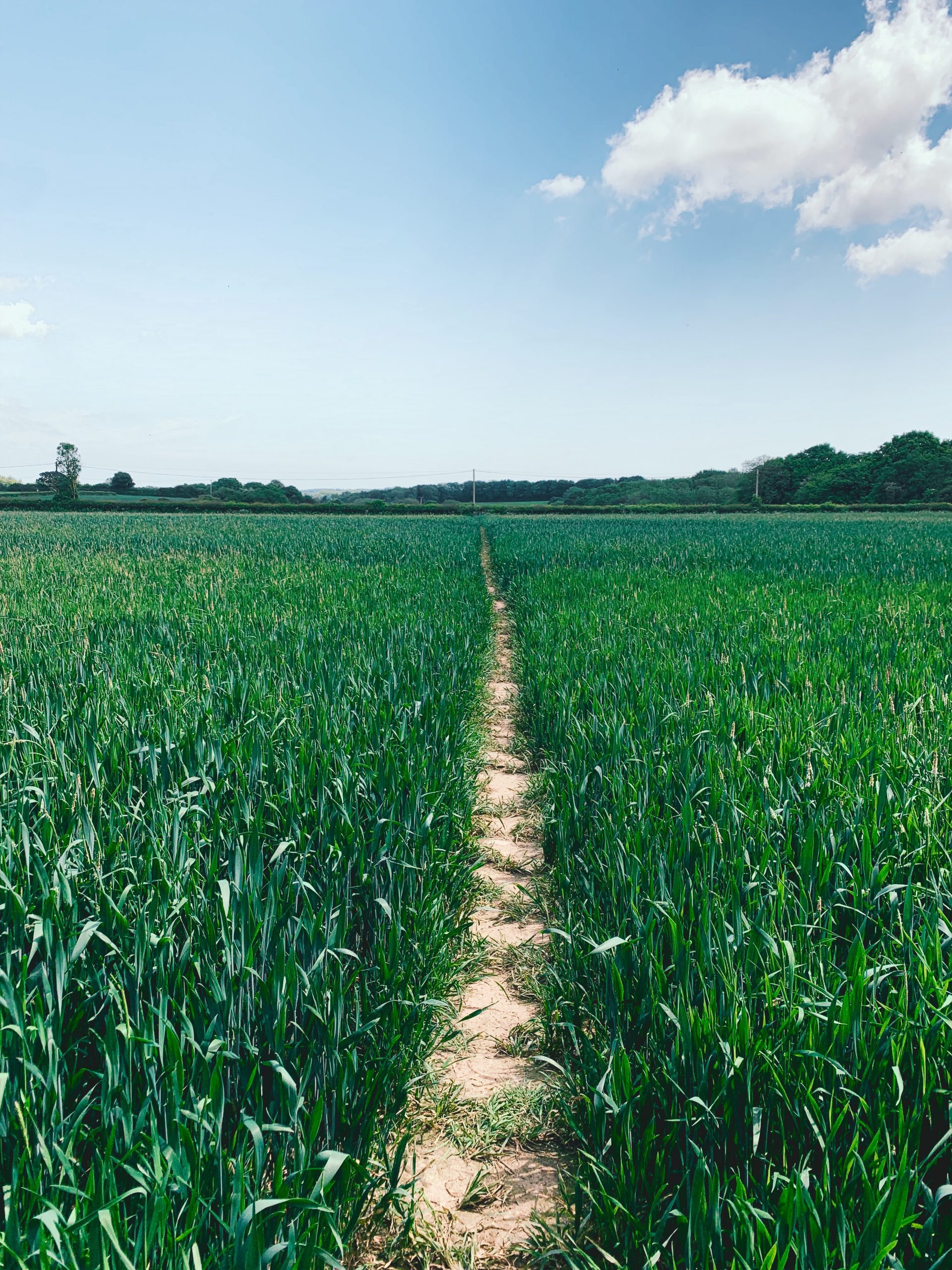
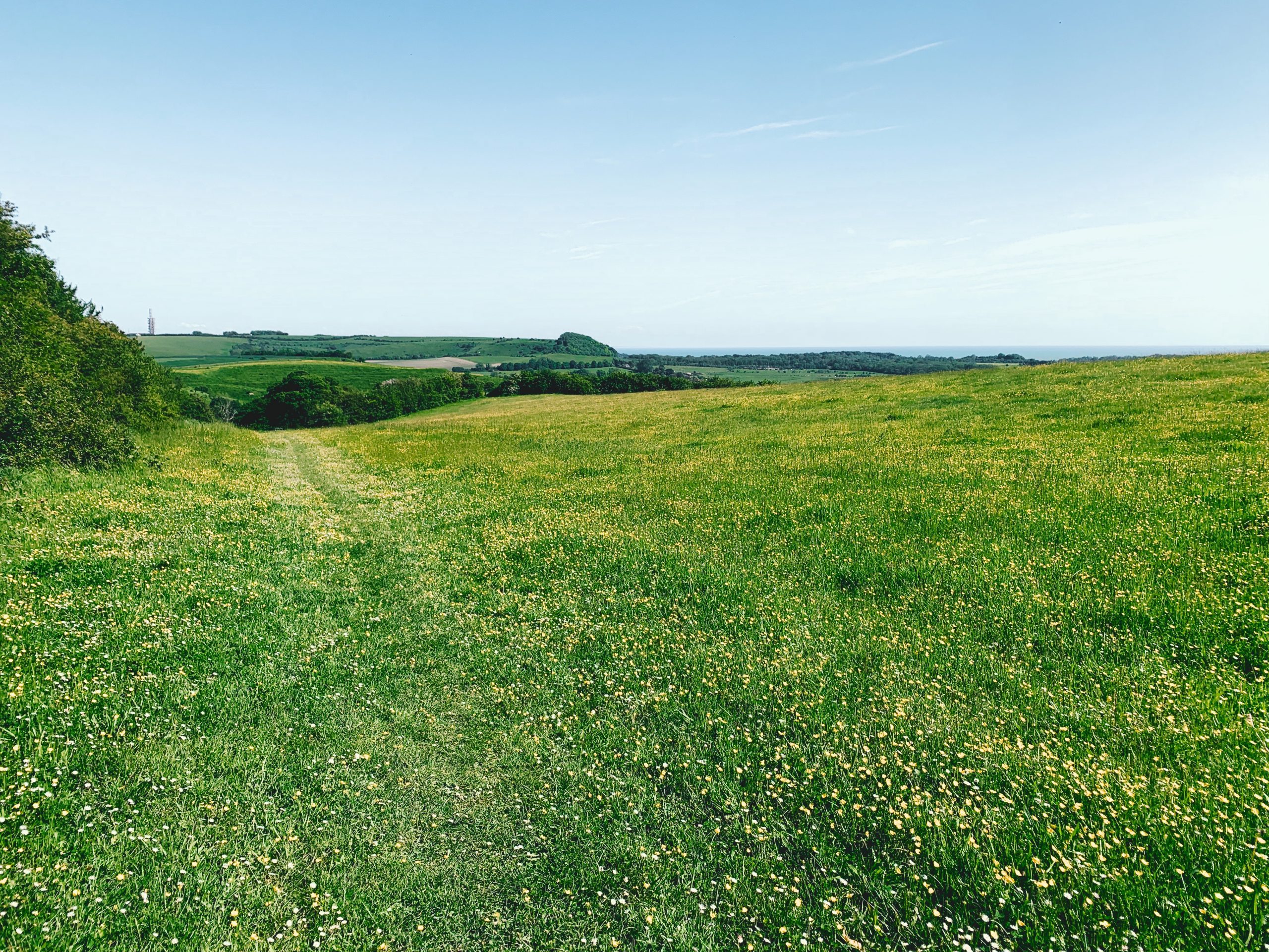
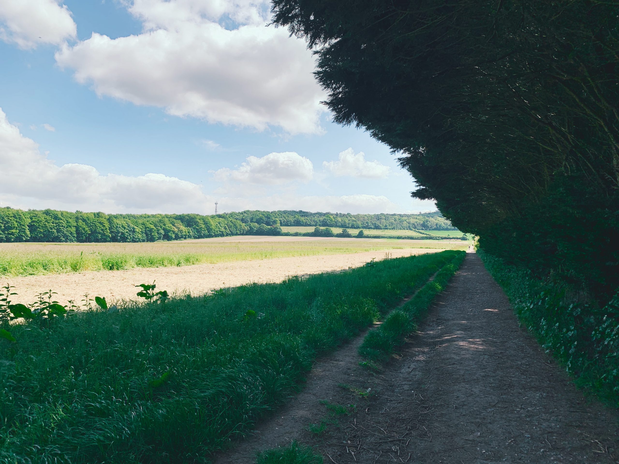
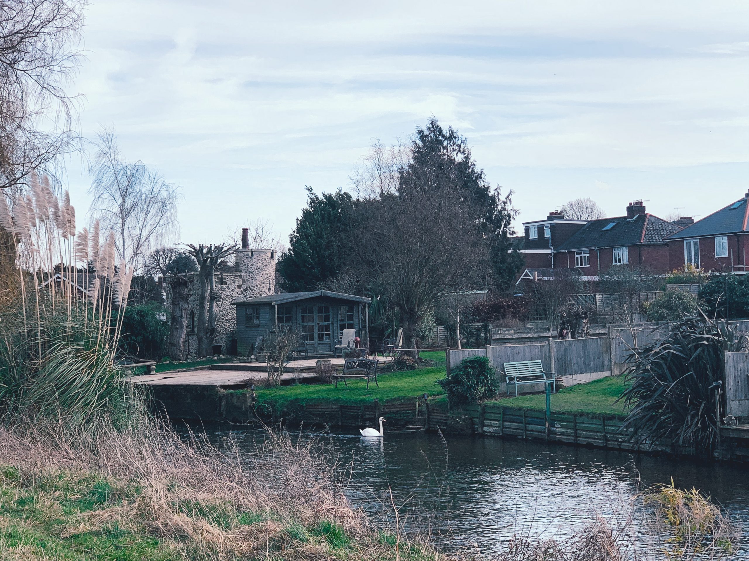
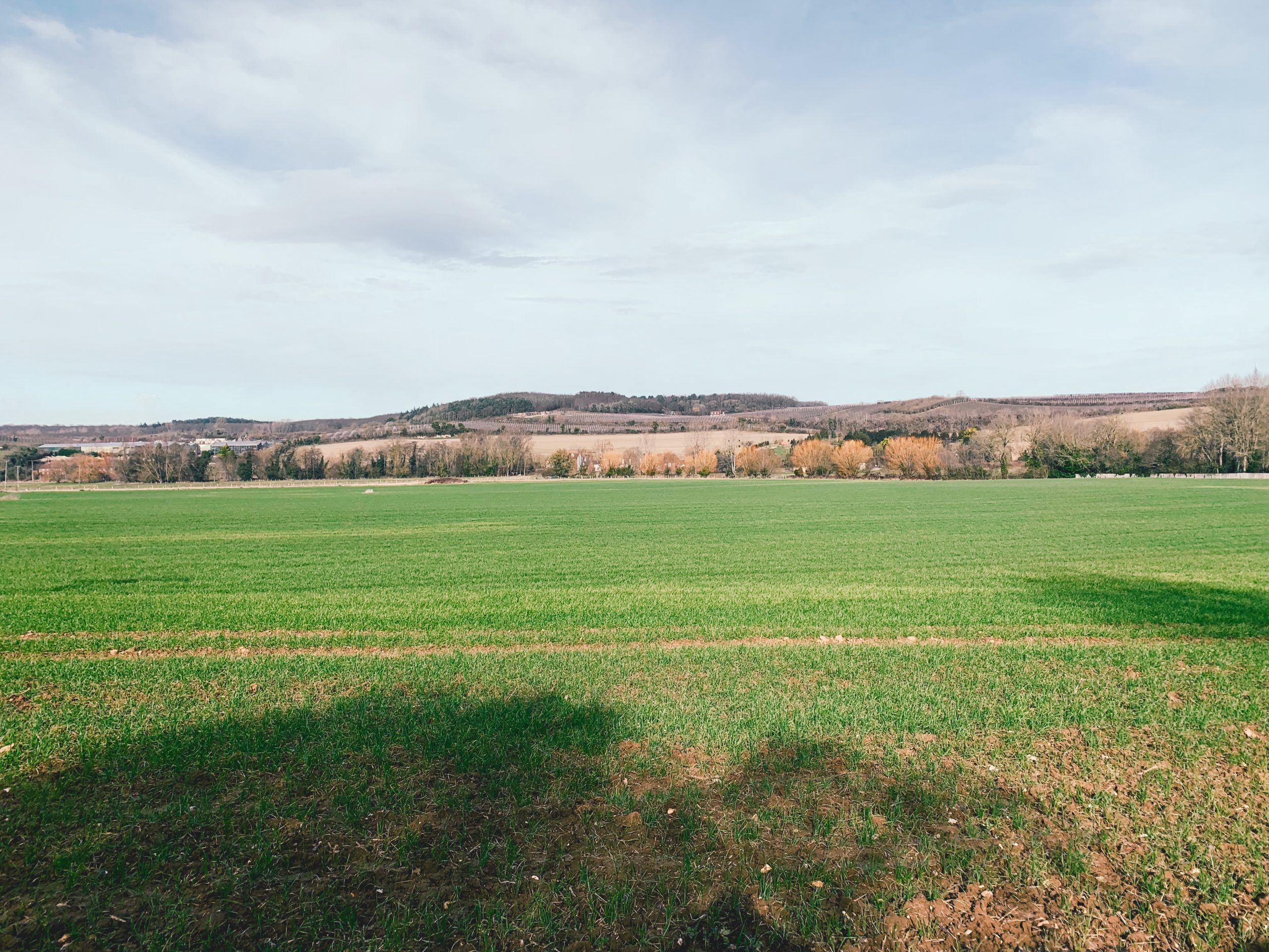
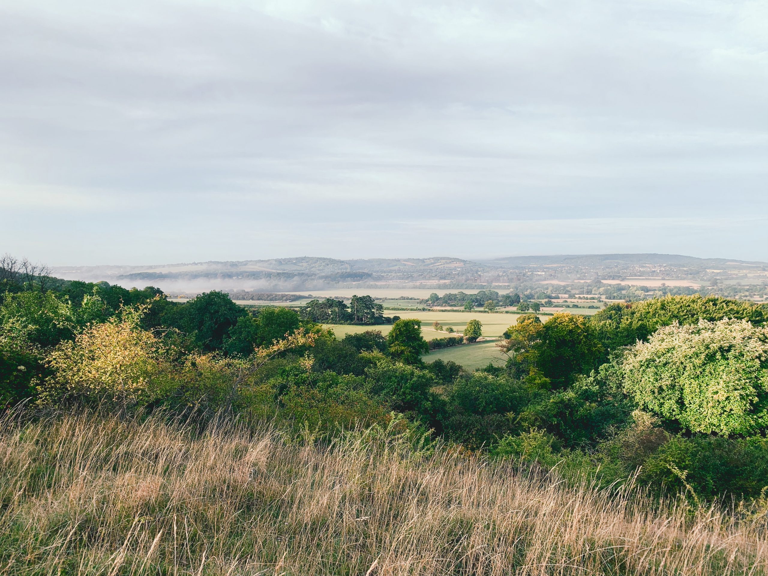
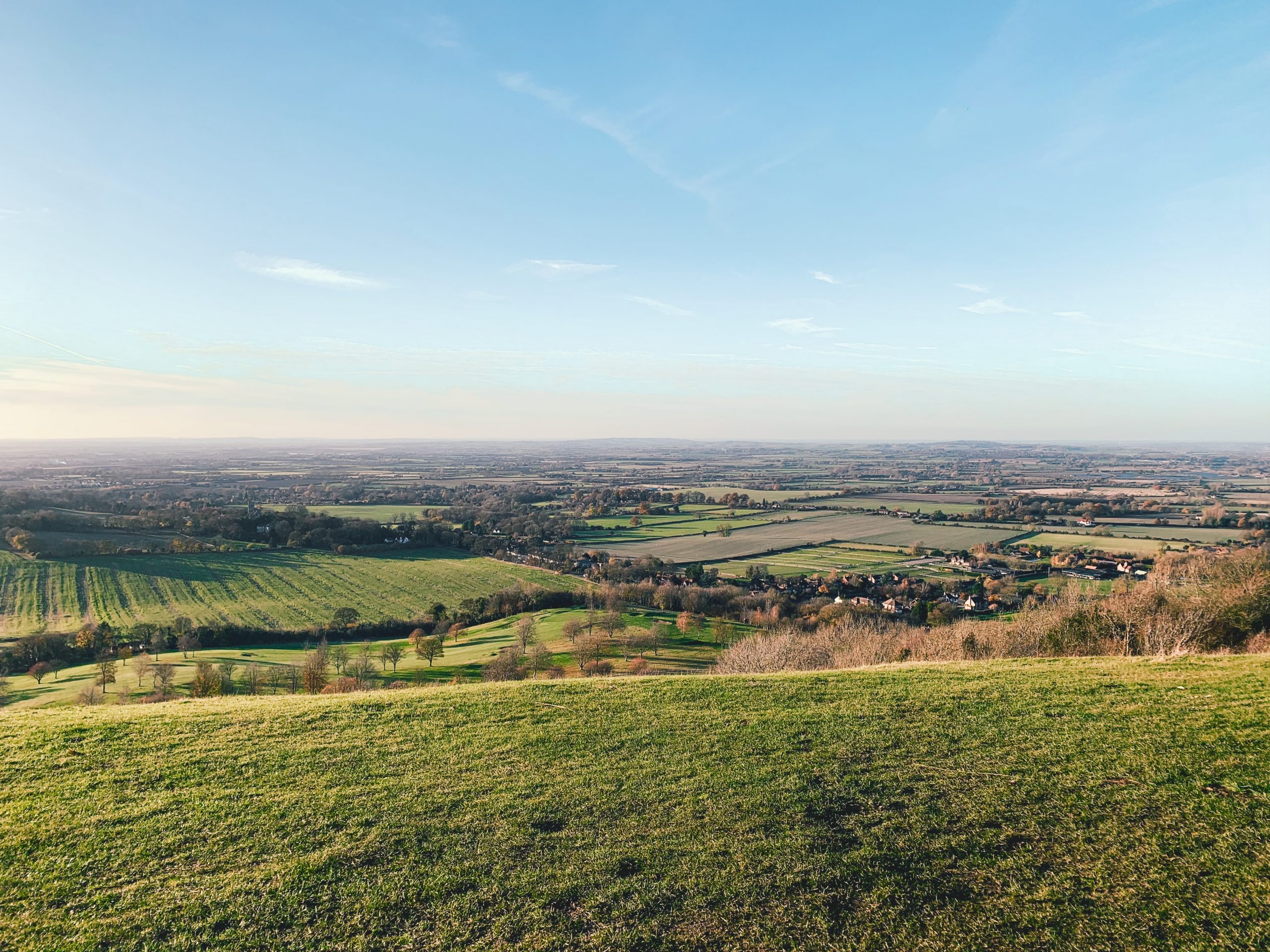
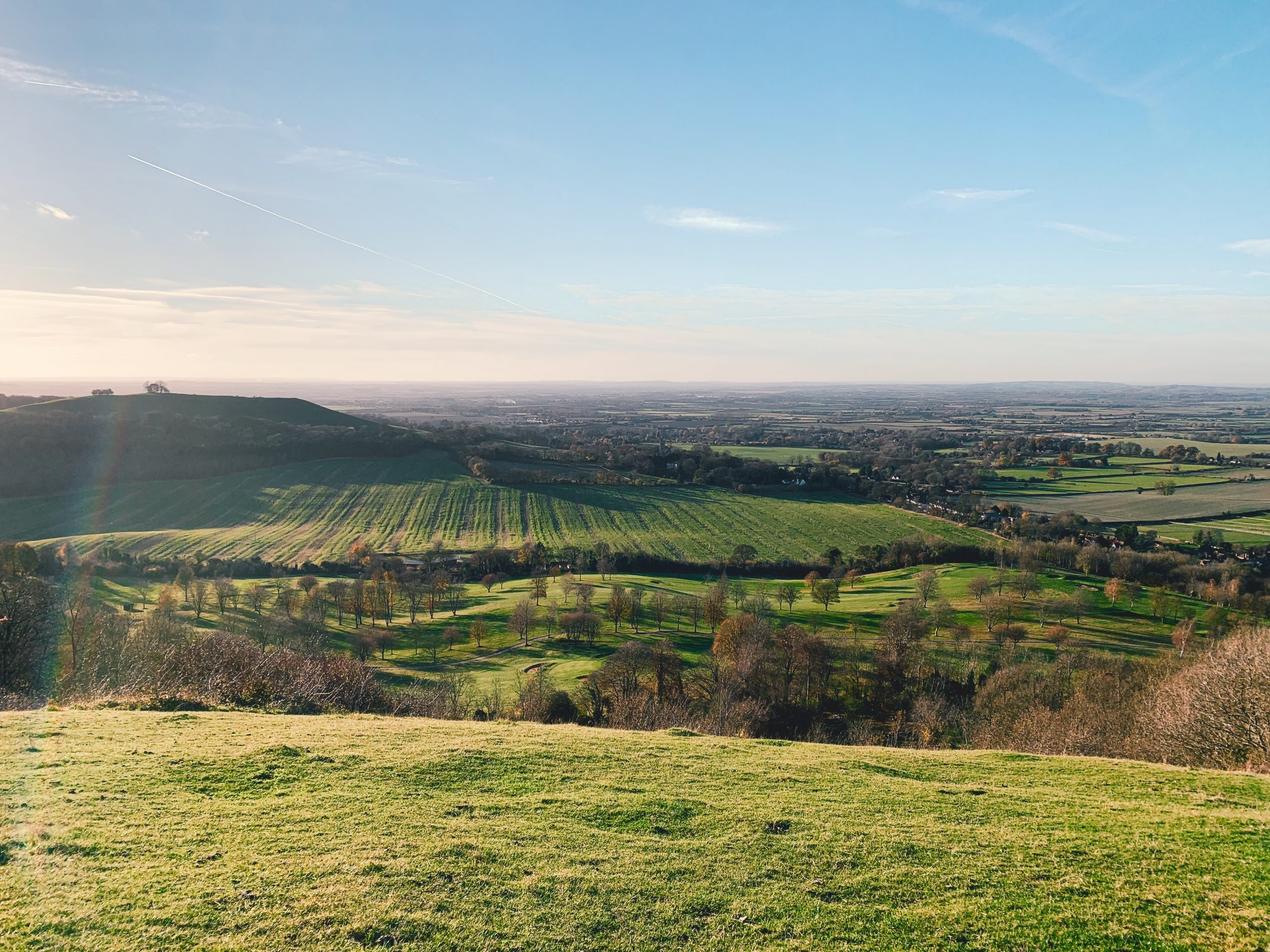
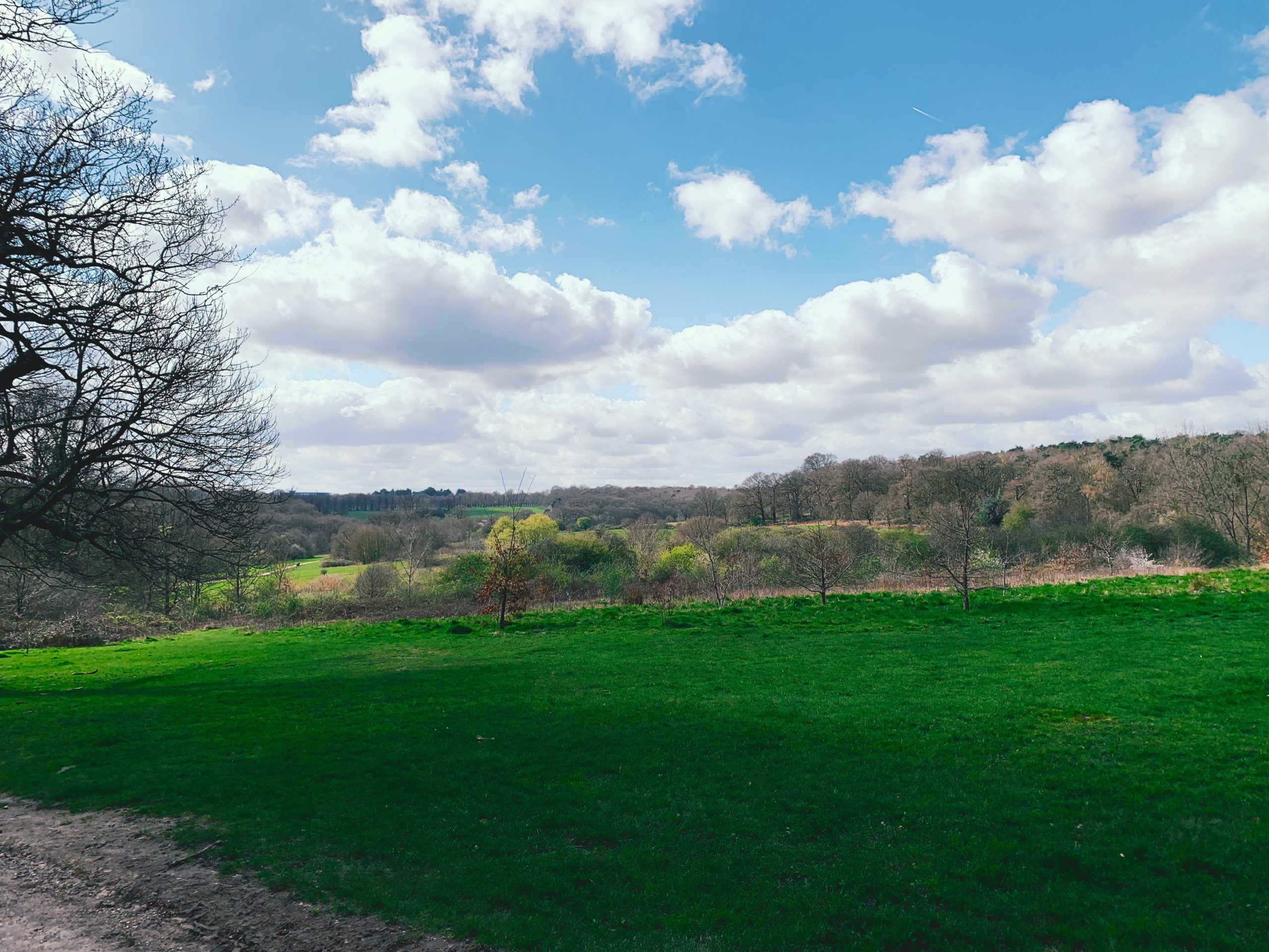
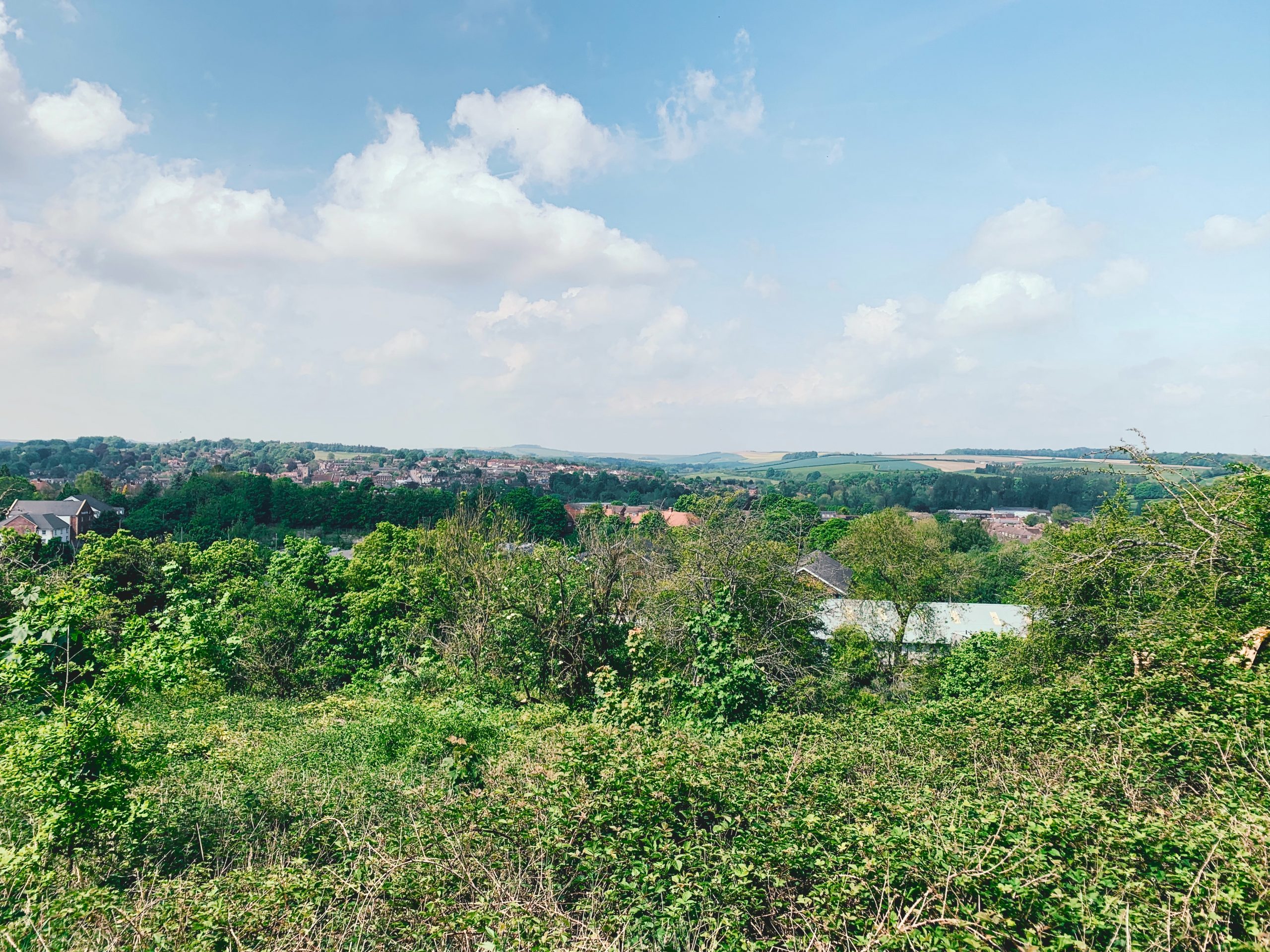
No. 01 HASTINGS TO RYE (12mi)
No. 1 HASTINGS TO RYE
Distance: 11 Miles / 18km
Duration: 4hr 15mins
Elevation Gain: 1,000ft
Coastal: 53%
Forest: 22
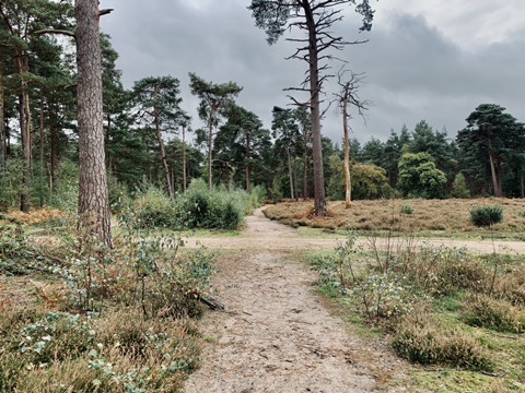
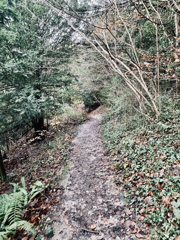
ABOUT
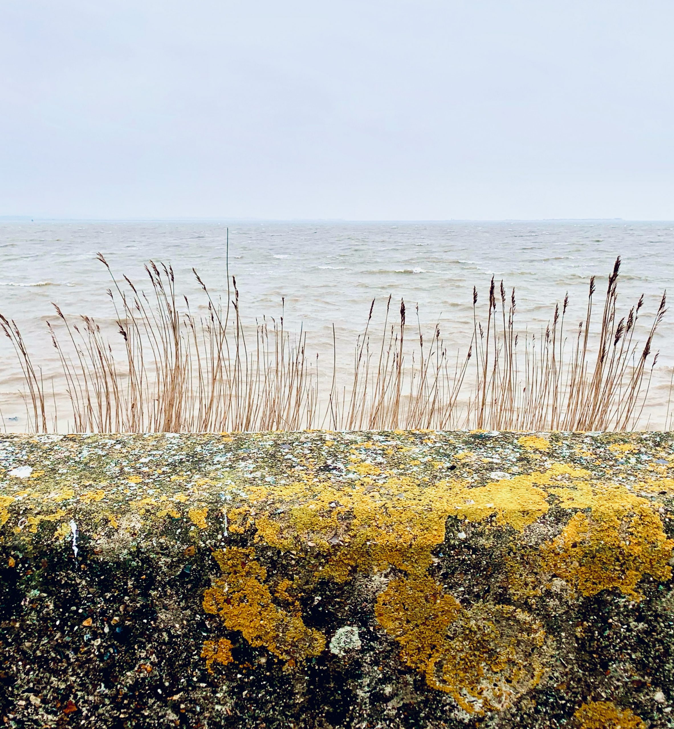
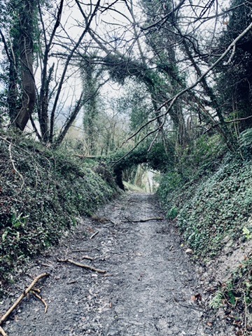
Walk from Hastings to Rye. Either divert inland to head up the Military Canal towards Rye, or head towards Winchelsea Beach. Trains run from London Charing Cross to Hastings.
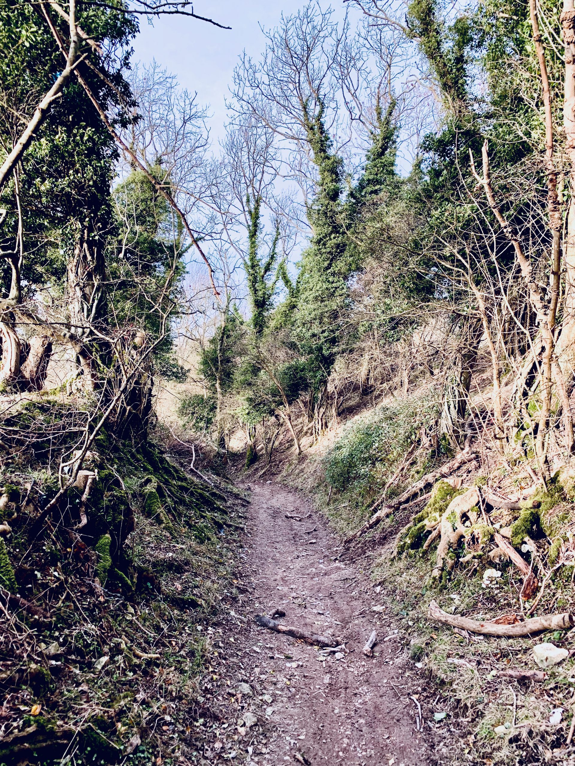
This walk takes 4-5 hours and is 11 miles in distance. It has 1,000 ft of climbing up steps and muddy tracks. In winter, the tracks are especially muddy. The walk features forest, coastal sections, and spectacular panoramic coastal views, including Hastings from above.
RATING
Panoramic Views ★★★☆☆
Distance ★★★★☆
Climbing ★★★★☆
Variation ★★★★☆
Forest ★☆☆☆☆
Coast ★★★★☆
ROUTE PREVIEW
View Route in Google Maps
Download .gpx file for Komoot or Strava
TRANSPORT
Route to Rye
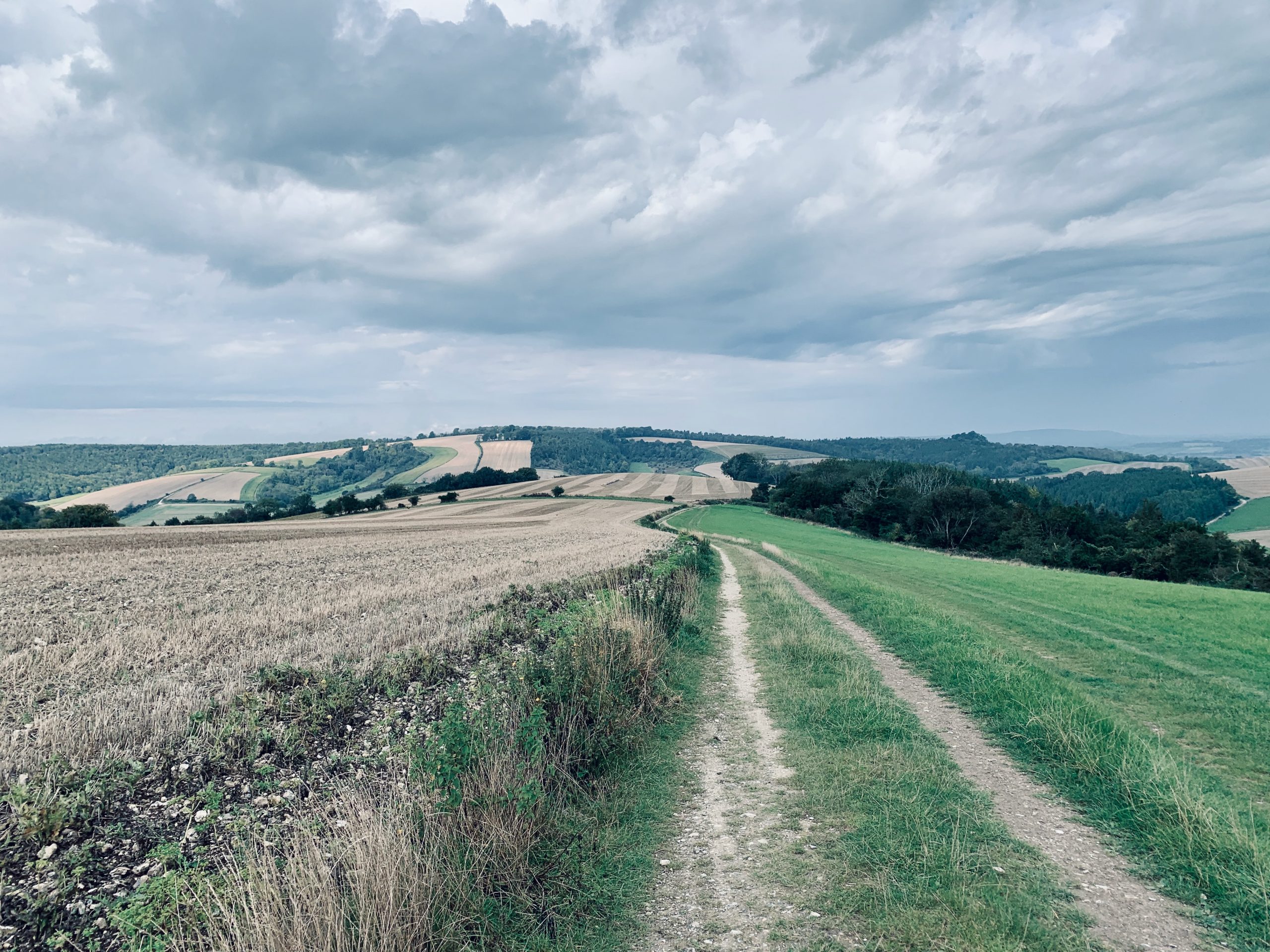
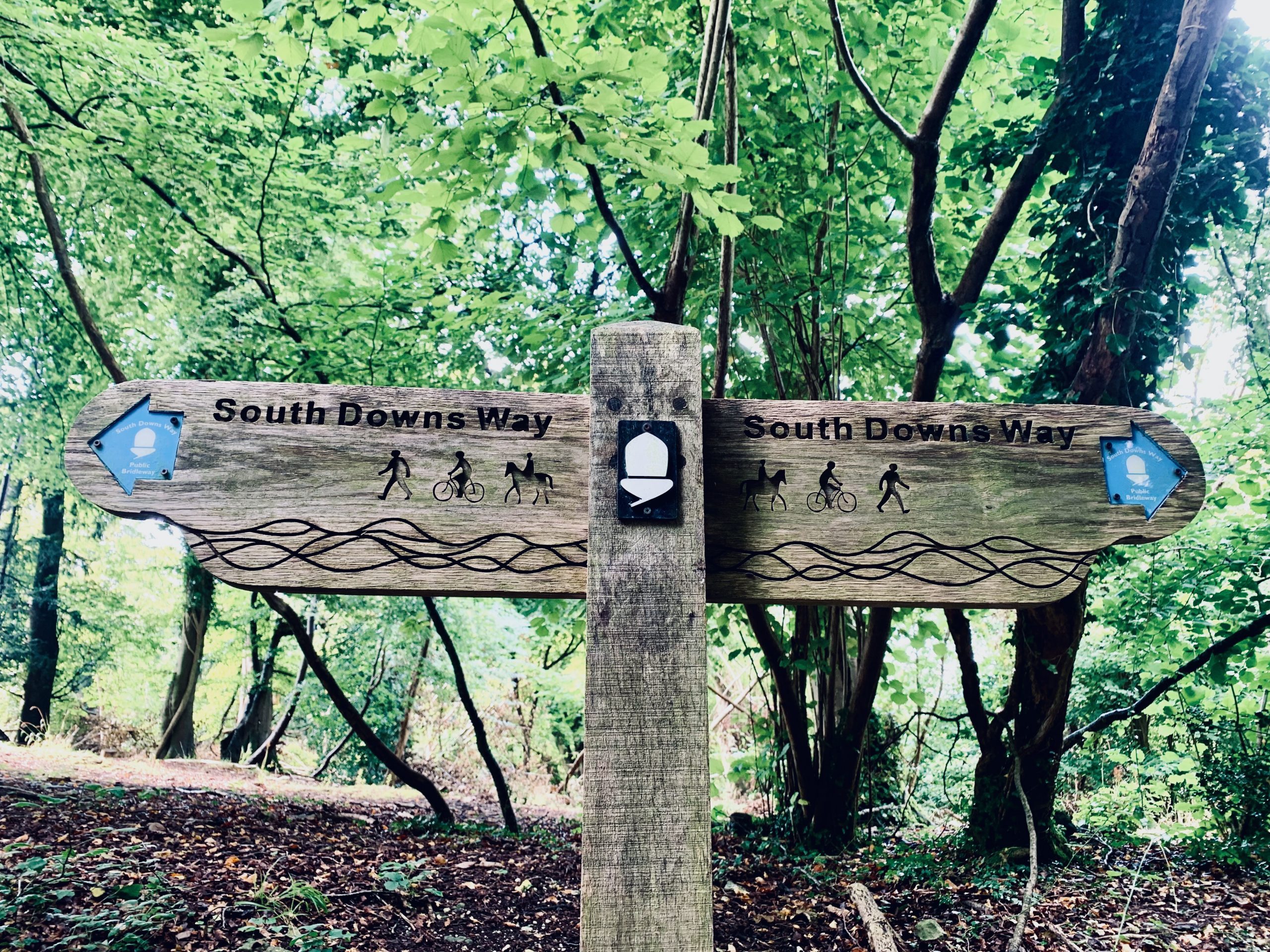
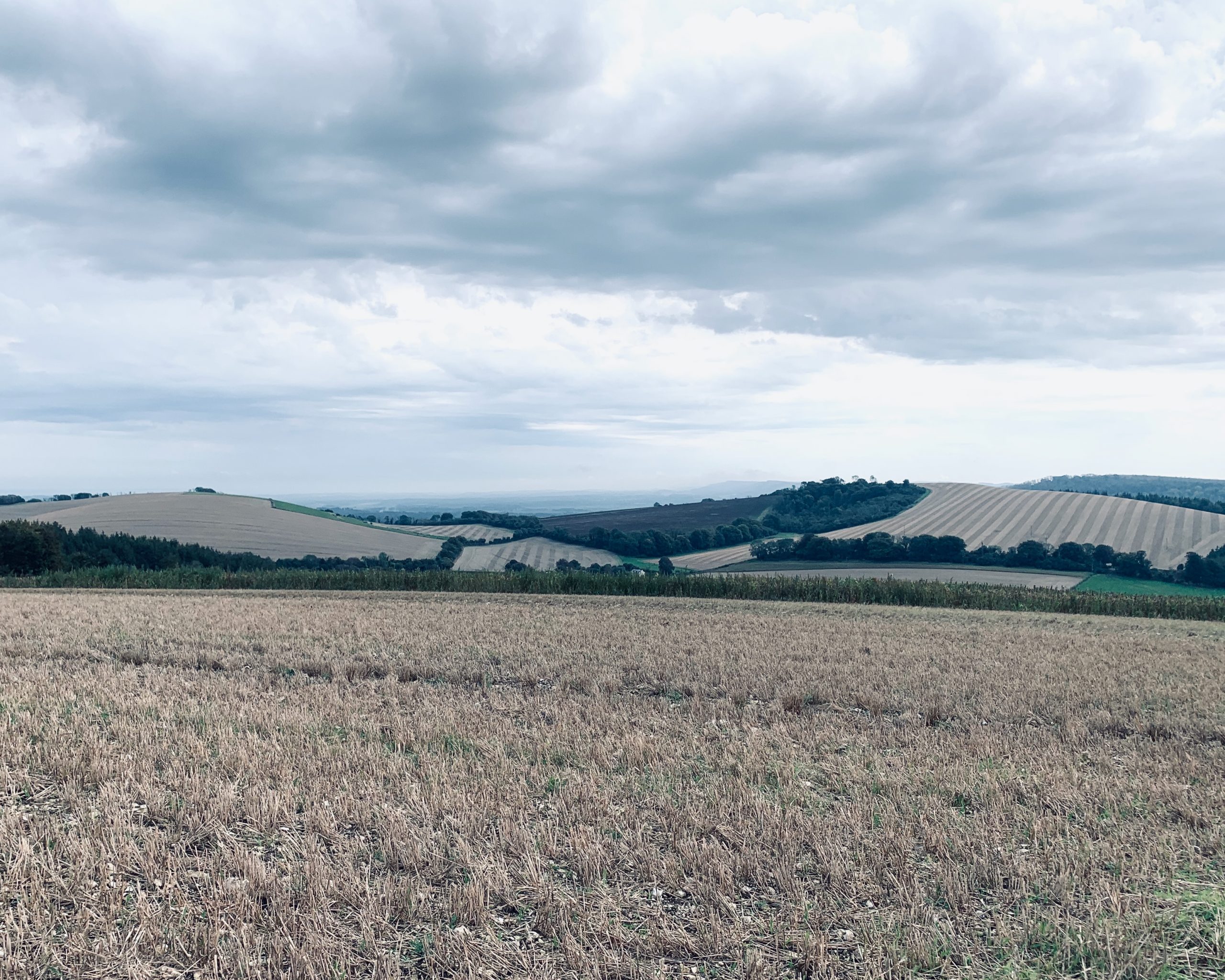
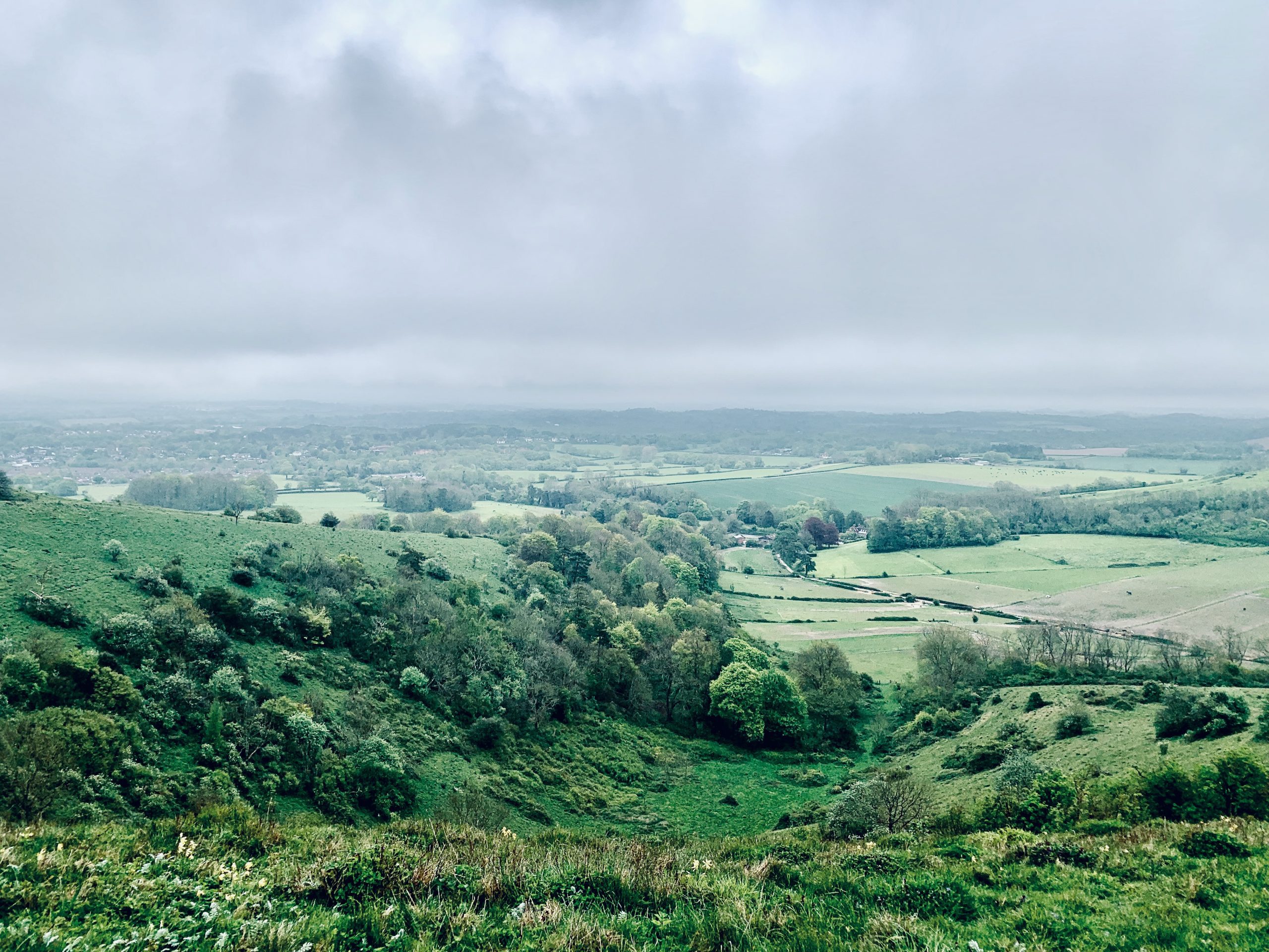
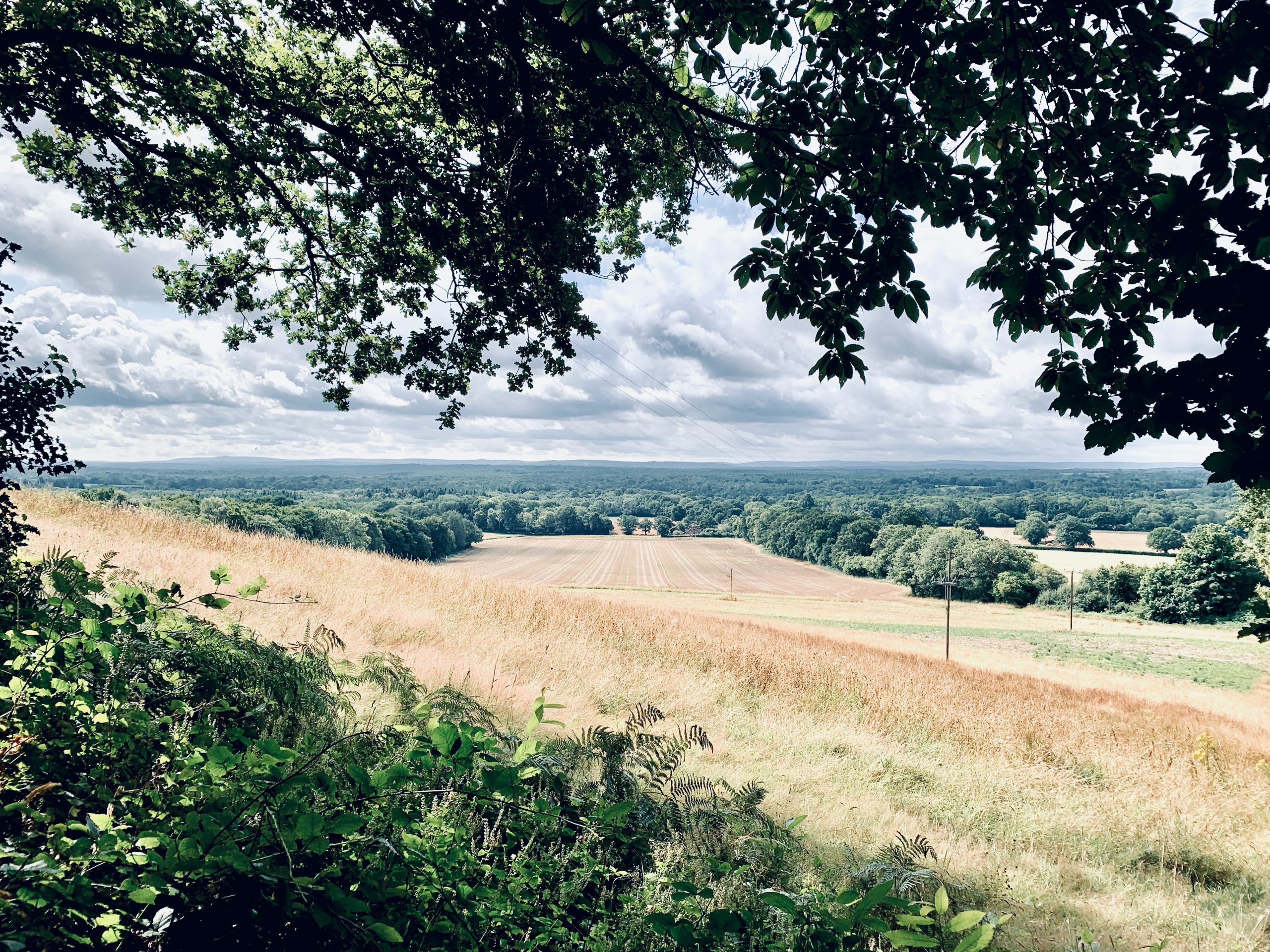
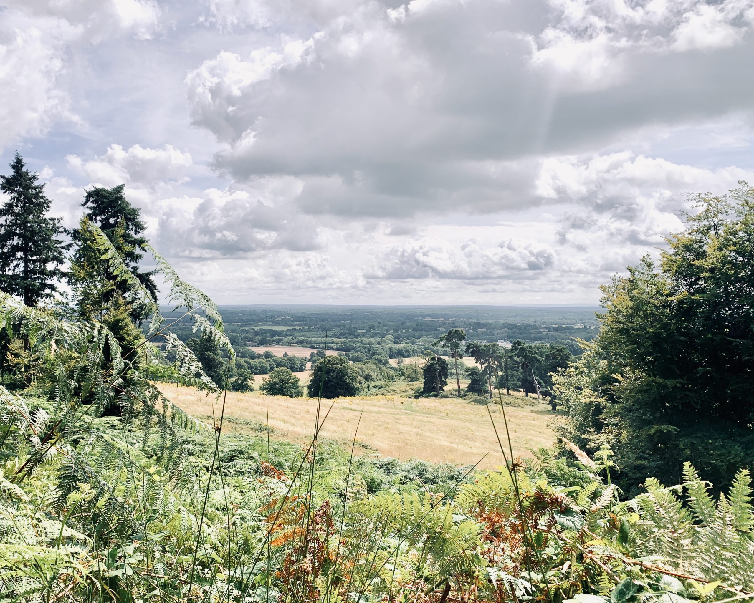
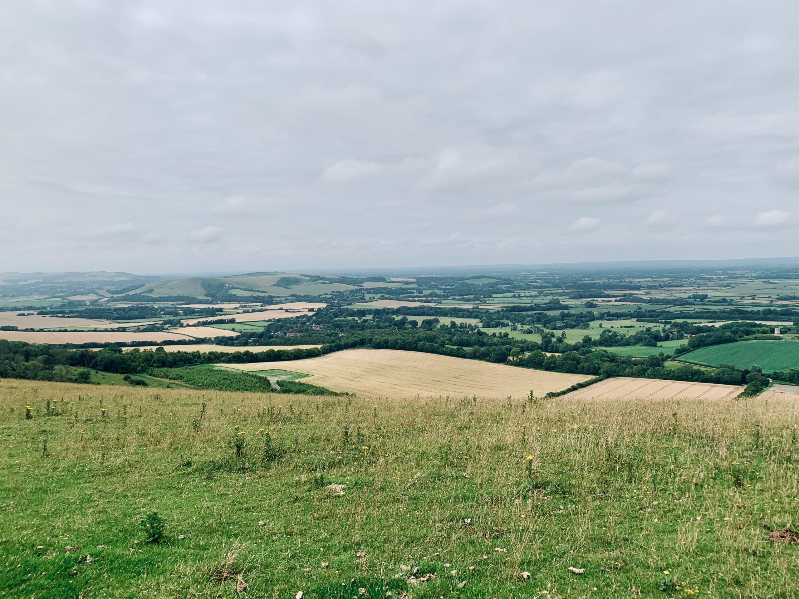
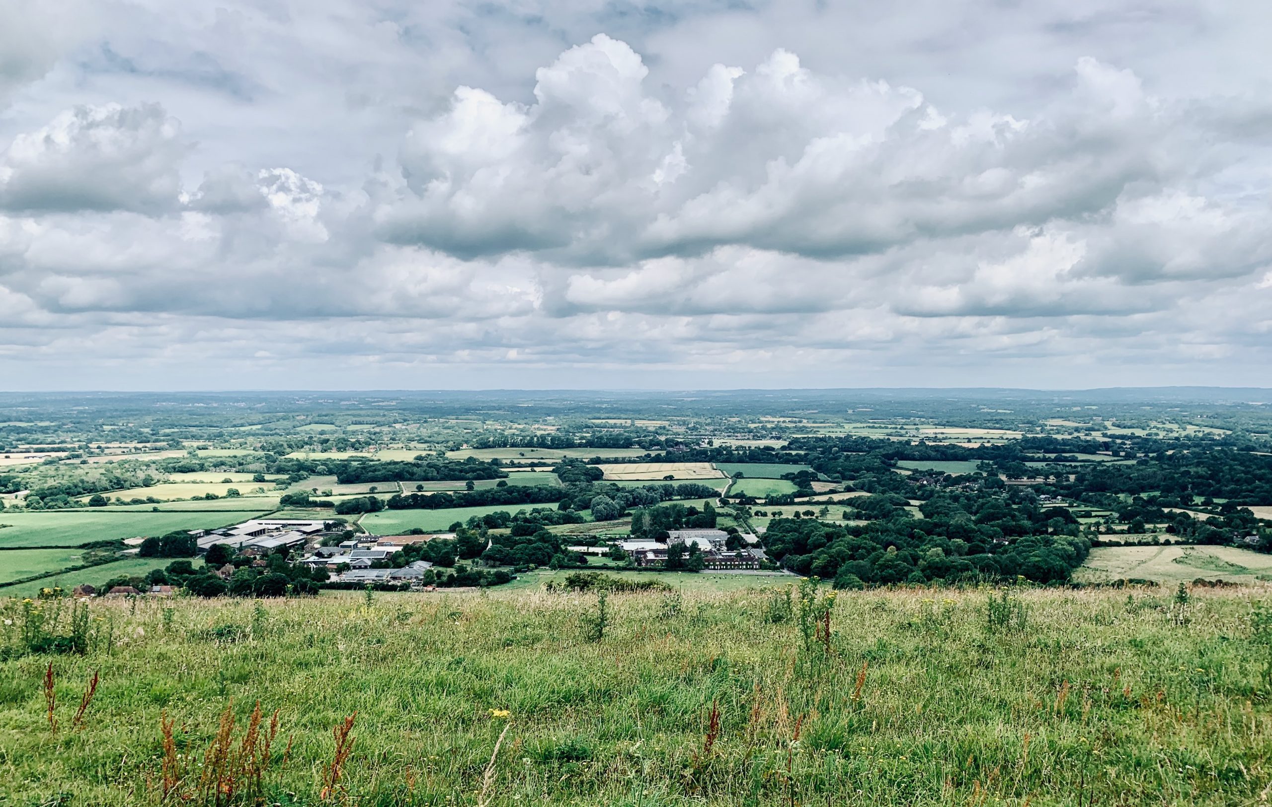
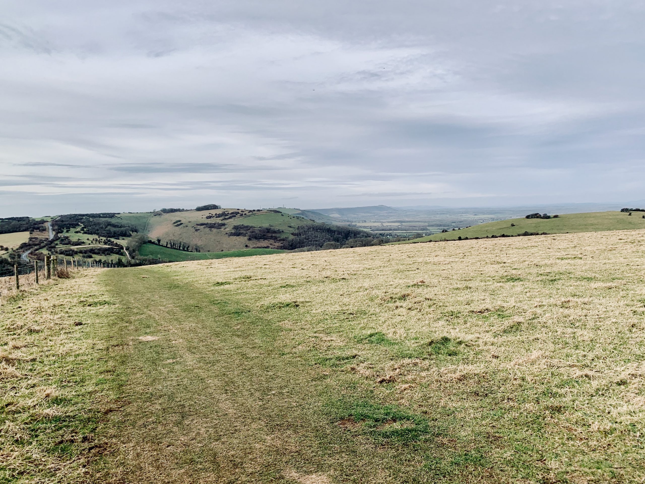
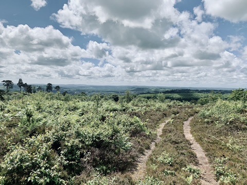
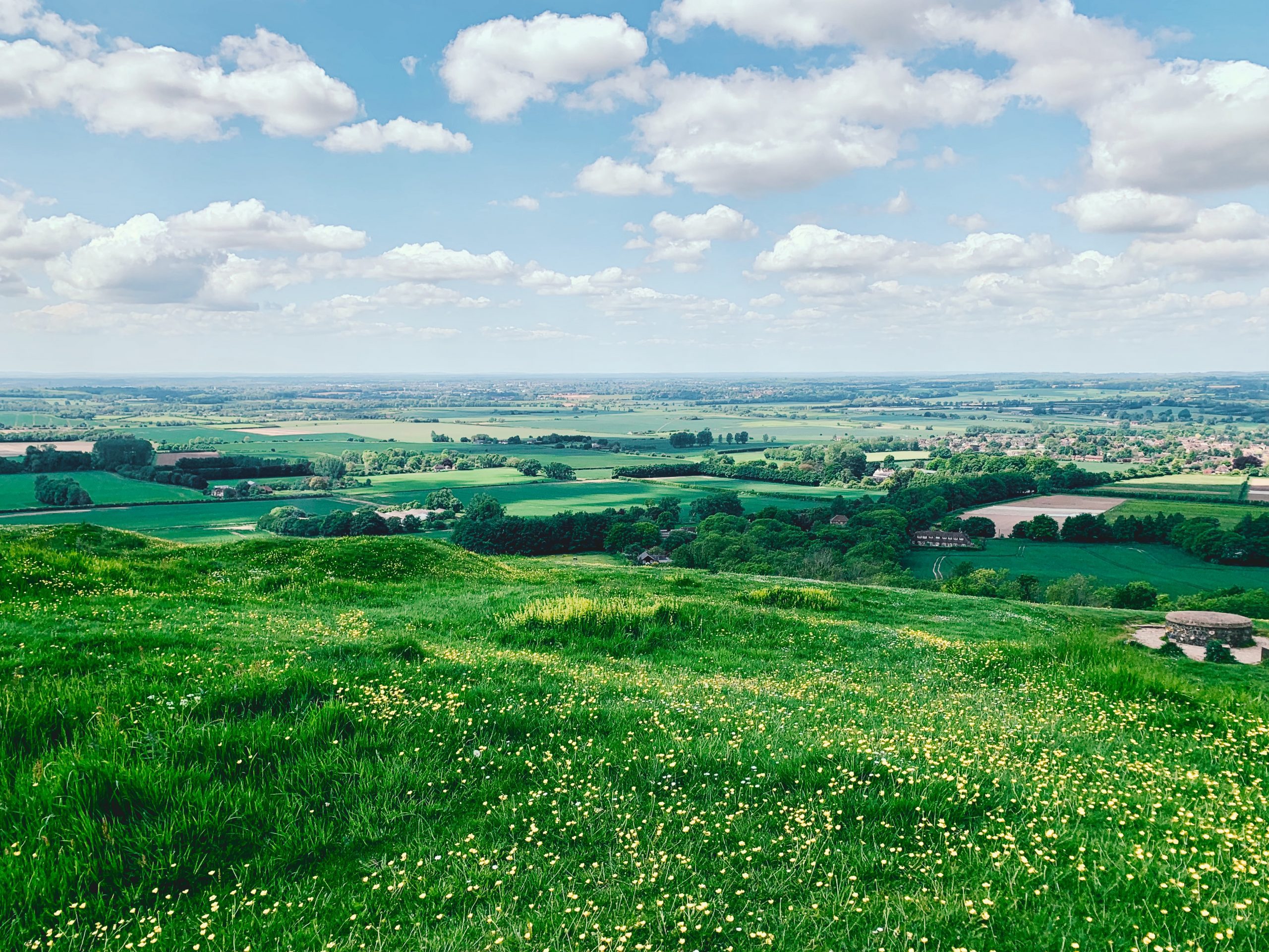
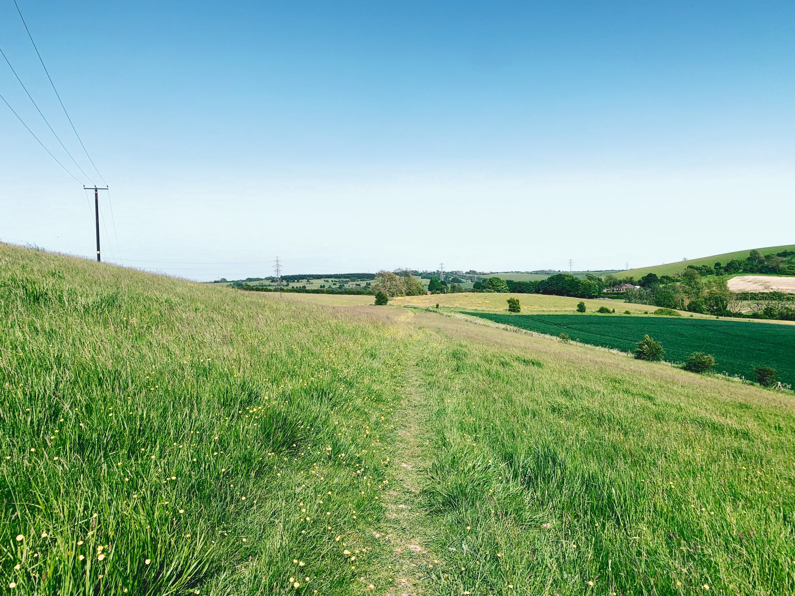
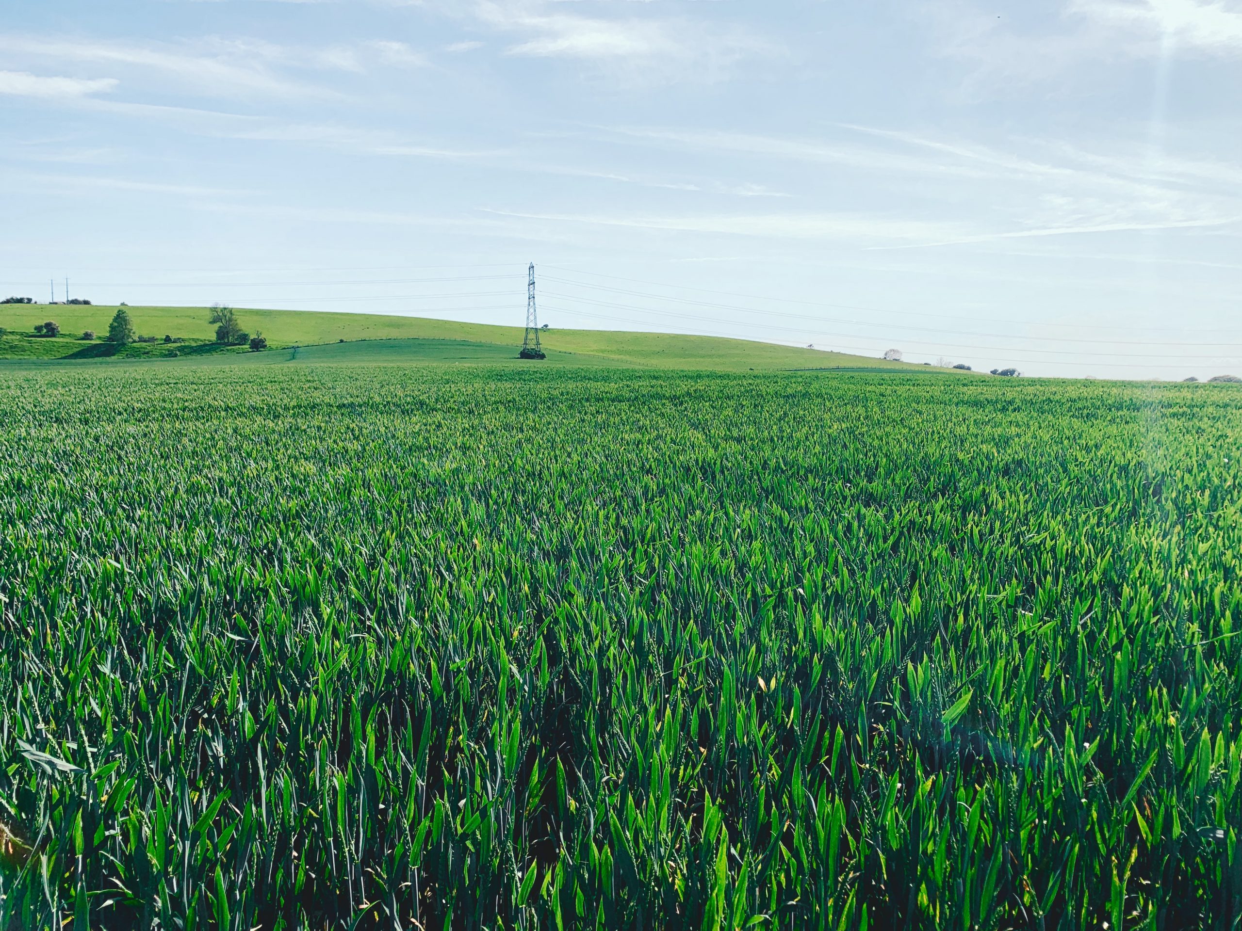
No. 02 AMBERLEY TO COCKING (12mi)
No. 2 AMBERLEY TO COCKING
Distance: 12 Miles / 19km
Duration: 4hrs 30mins
Elevation Gain: 1,375ft
Coastal: 0%
Forest: 35%
ABOUT
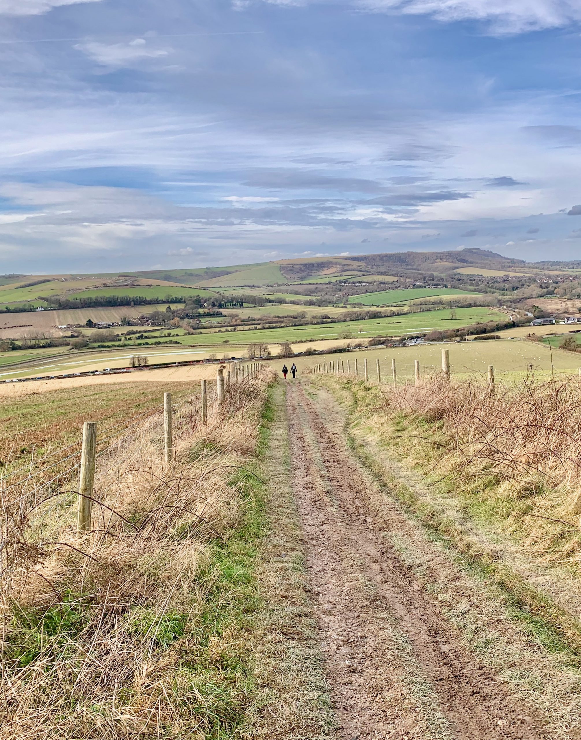
Walk from Amberley to Cocking via South Downs Way. Features the ancient chalk pathway and far-reaching views to the sea.
Trains run from London Victoria to Amberley. This route includes getting the bus to Chichester Station, then Chichester to London Victoria. Check Google Maps for the quickest return route.
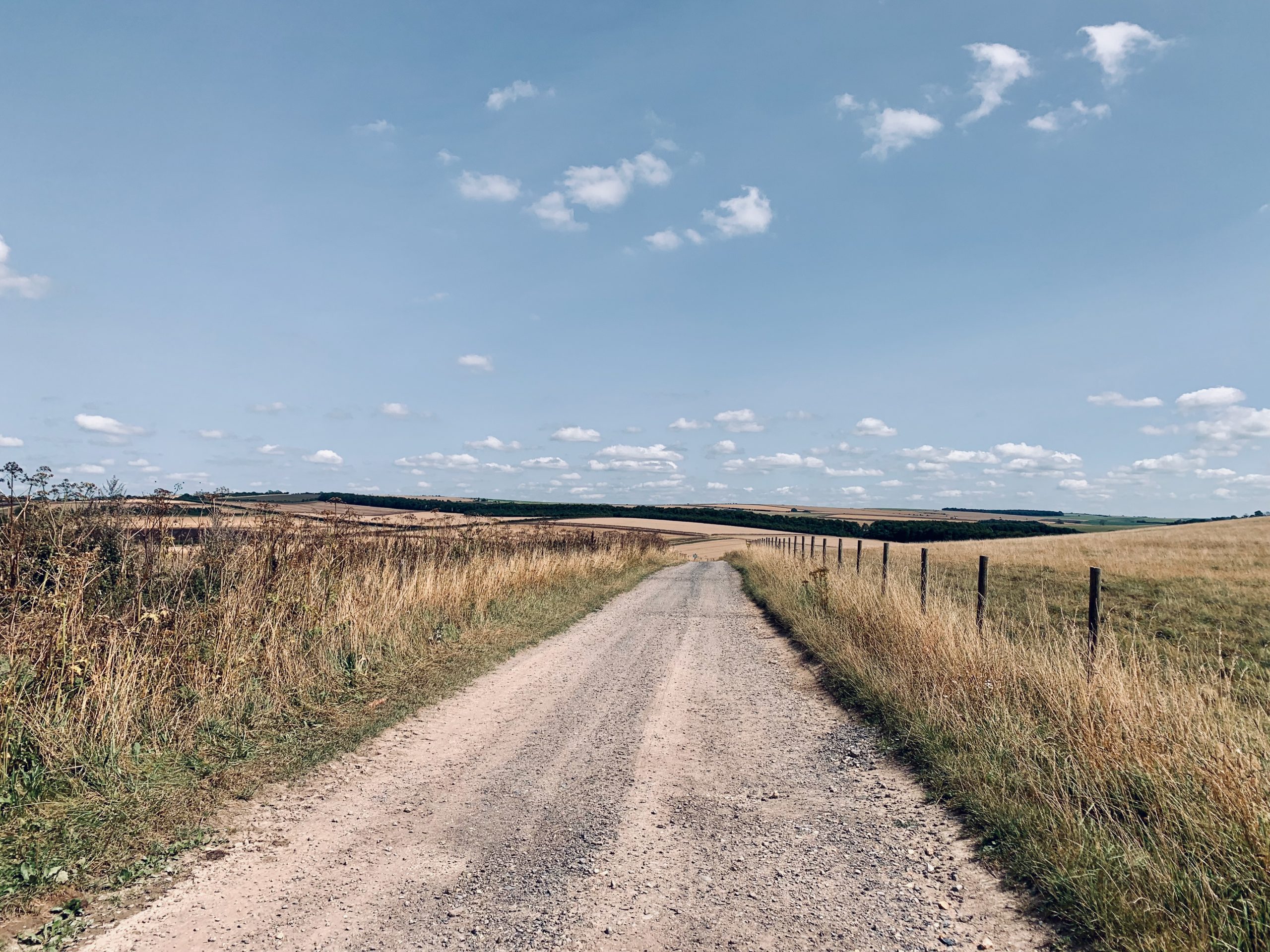
This walk takes 4-5 hours and is 12 miles in distance. It has 1,375 ft of climbing, and footing is good throughout winter. It features some forest. Much of the route traverses the South Downs ridgeway, allowing for vast panoramic views throughout the walk.
RATING
Panoramic Views ★★★★☆
Distance ★★★★☆
Climbing ★★★★☆
Variation ★★★★☆
Forest ★★★☆☆
Coast ☆☆☆☆☆
ROUTE PREVIEW
View Route in Google Maps
Download .gpx file for Komoot or Strava
TRANSPORT
Route to Amberley
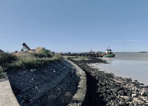
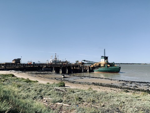
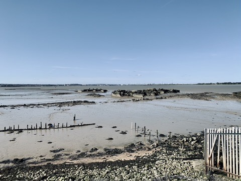
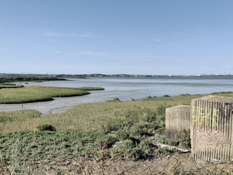
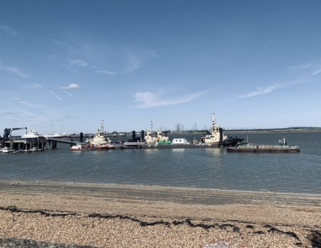
NO. 3 CUXTON TO SNODLAND (14mi)
No. 3 CUXTON TO SNODLAND
Distance: 14 Miles / 23km
Duration: 5hrs 15mins
Elevation Gain: 1,500ft
Coastal: 0%
Forest: 65%
ABOUT
This walk goes from Cuxton to Snodland via North Downs Way, offering views over the Medway towns and Kentish countryside.
Trains run from St Pancras International to Cuxton and Snodland. This route goes station to station.
It takes 5-6 hours with breaks and covers 14 miles. It has 1,500 ft of climbing. The route features woodland and outstanding views, dipping on and off the North Downs Way with panoramic views across Kent.
RATING
Panoramic Views ★★★★☆
Distance ★★★★★
Climbing ★★★★★
Variation ★★★★☆
Forest ★★★☆☆
Coast ☆☆☆☆☆
ROUTE PREVIEW
View Route in Google Maps
Download .gpx file for Komoot or Strava
TRANSPORT
Route to Cuxton
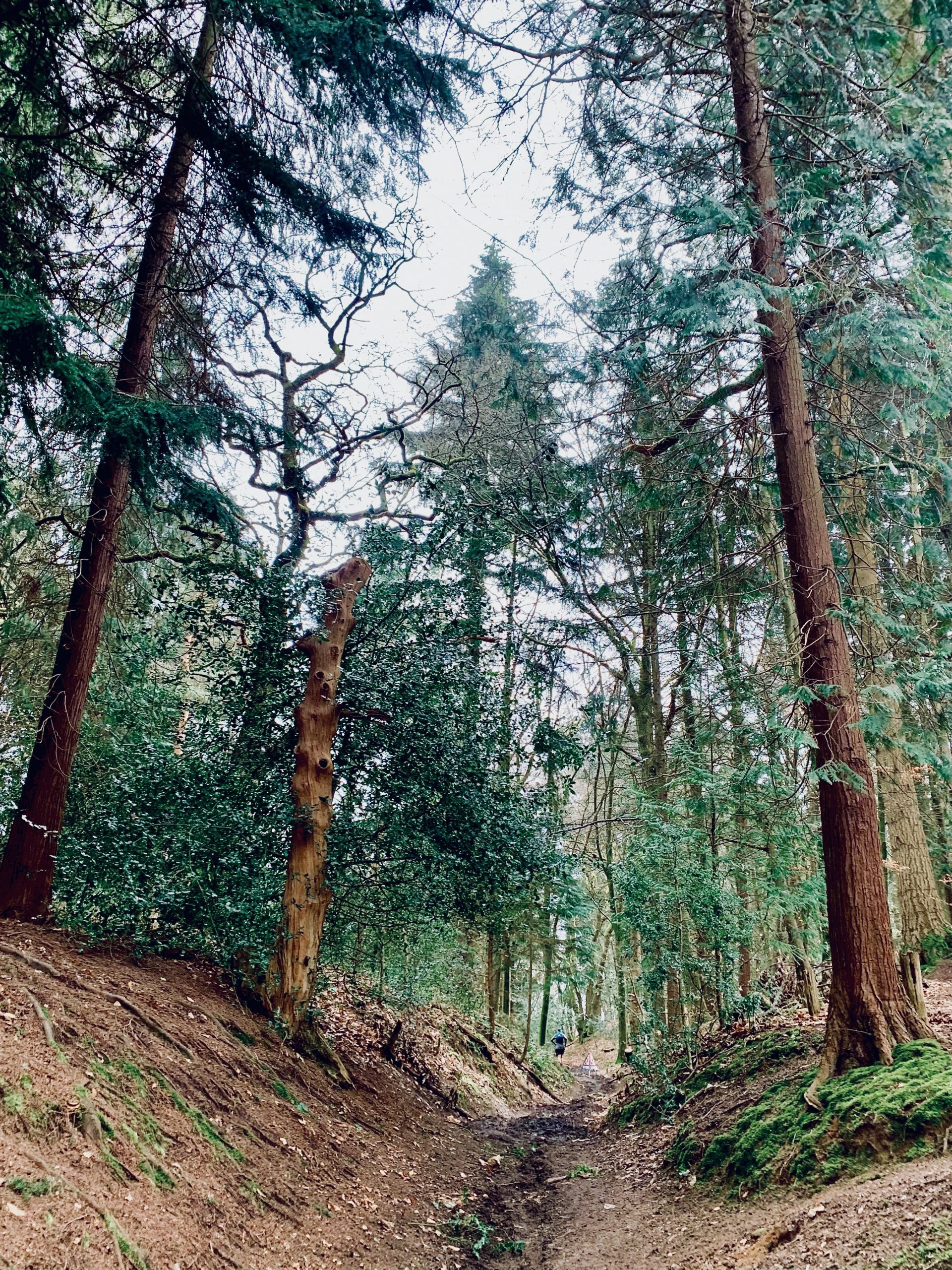
NO. 04 GUILDFORD TO GOMSHALL (9mi)
No. 4 GUILDFORD TO GOMSHALL
Distance: 9 Miles / 14km
Duration: 3hrs 30mins
Elevation Gain: 1,000ft
Coastal: 0%
Forest: 70%
ABOUT
This walk goes from Guildford Station to Gomshall Station in the Surrey Hills. Mostly forest, sandy underfoot with ancient holloways.
Trains run from London Waterloo. This route goes station to station. The return route from Gomshall takes a little longer, connecting at Guildford, with a total journey time of 1 hour 42 minutes.
It takes 3-4 hours with breaks and covers 9 miles. It has 1,000 ft of climbing. The route features woodland and outstanding views across Surrey.
RATING
Panoramic Views ★★★☆☆
Distance ★★★☆☆
Climbing ★★★☆☆
Variation ★★★★☆
Forest ★★★★☆
Coast ☆☆☆☆☆
ROUTE PREVIEW
View Route in Google Maps
Download .gpx file for Komoot or Strava
TRANSPORT
Route to Guildford
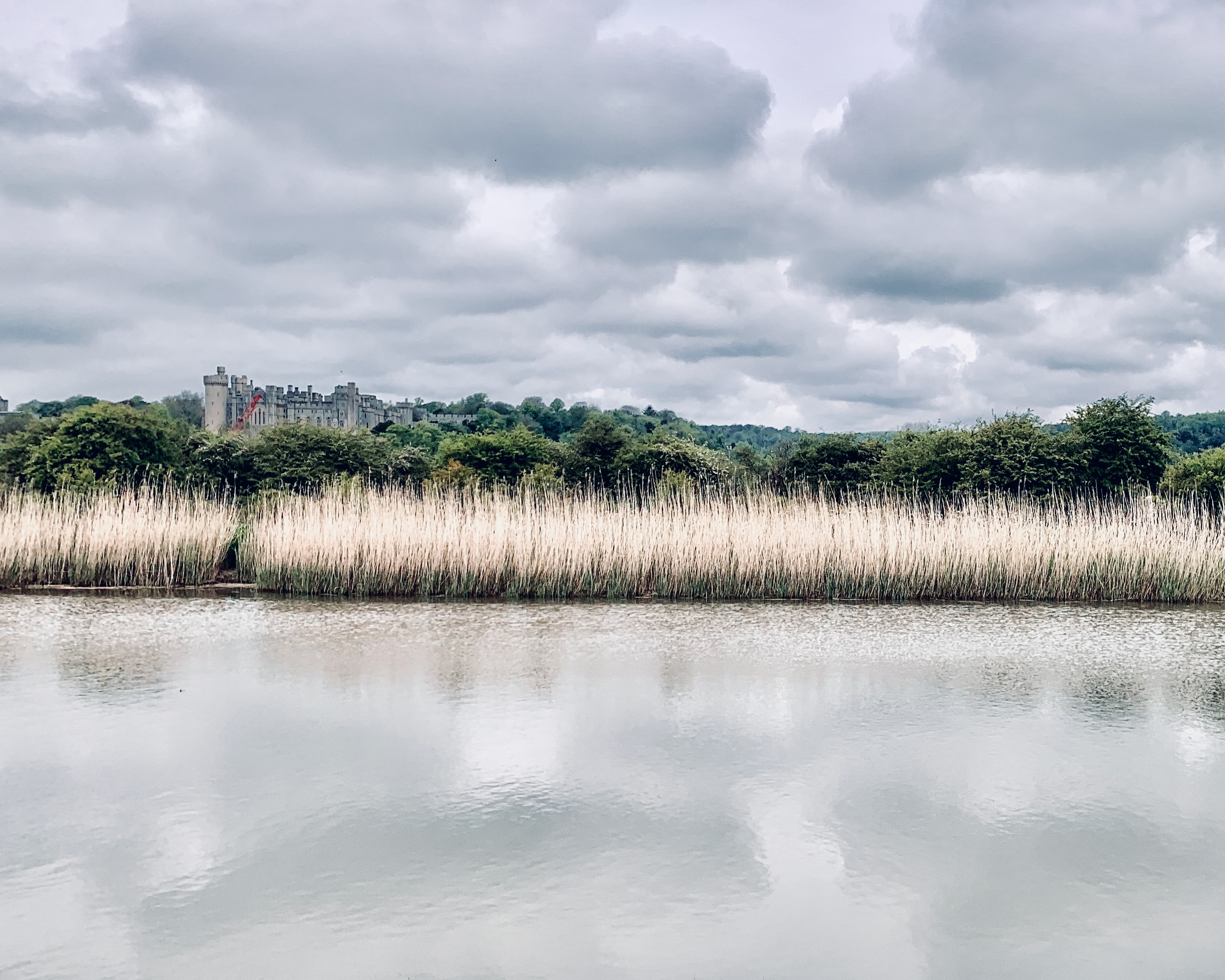
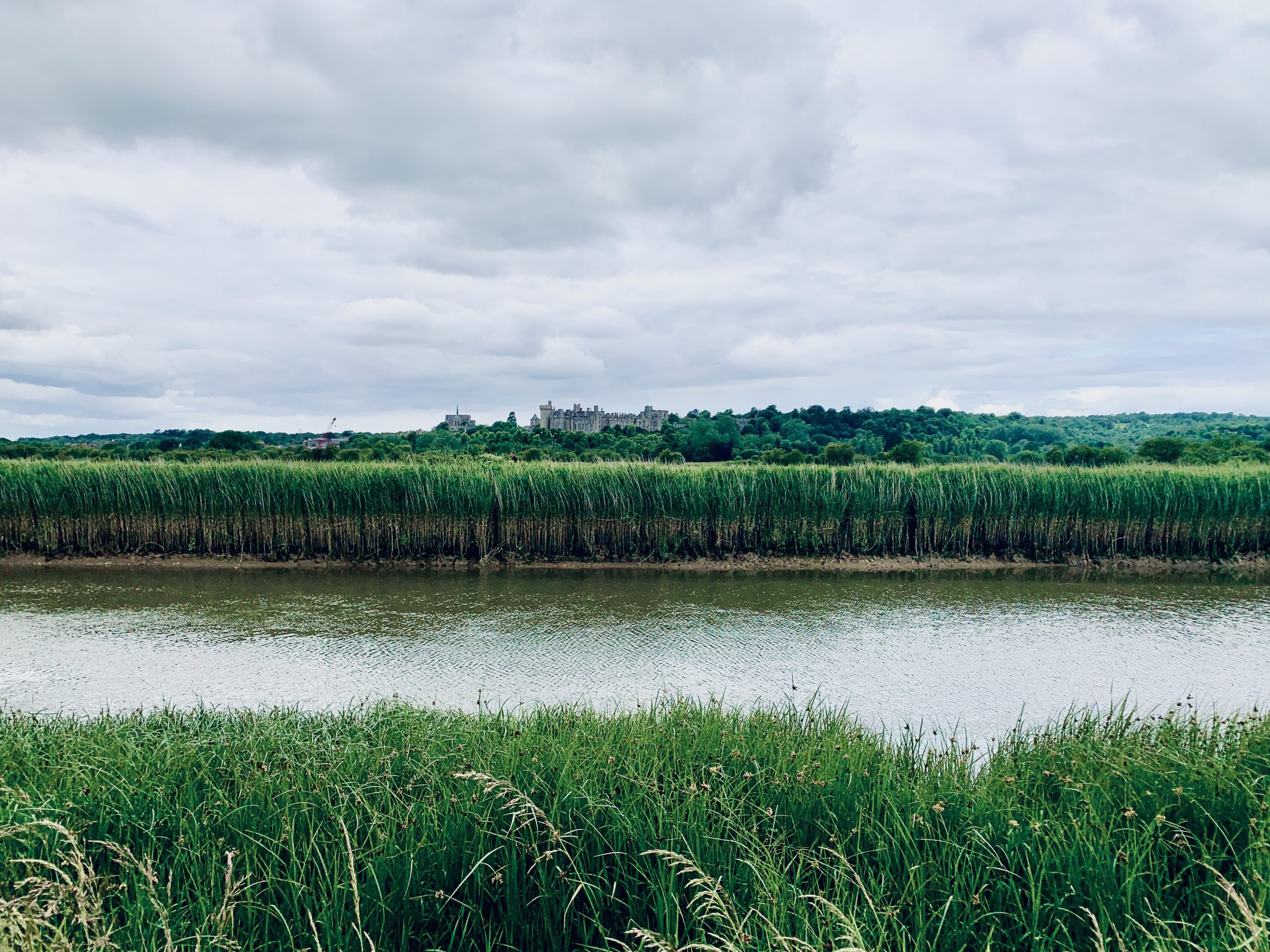
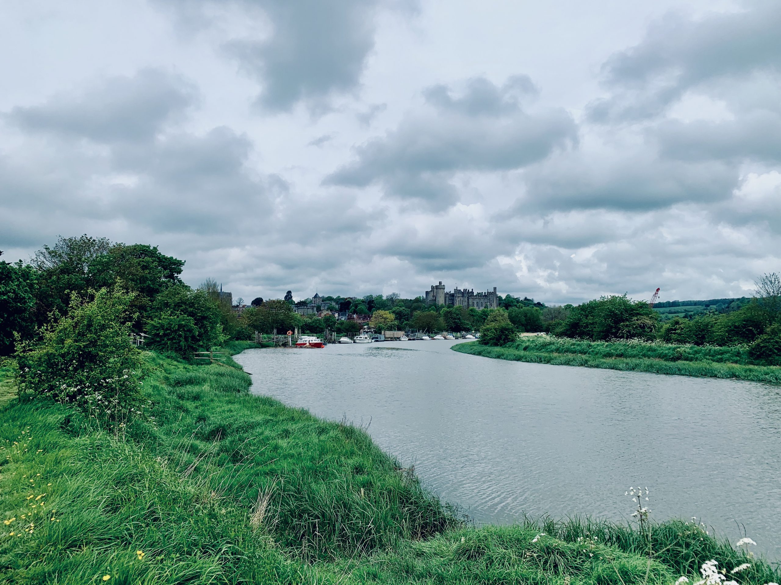
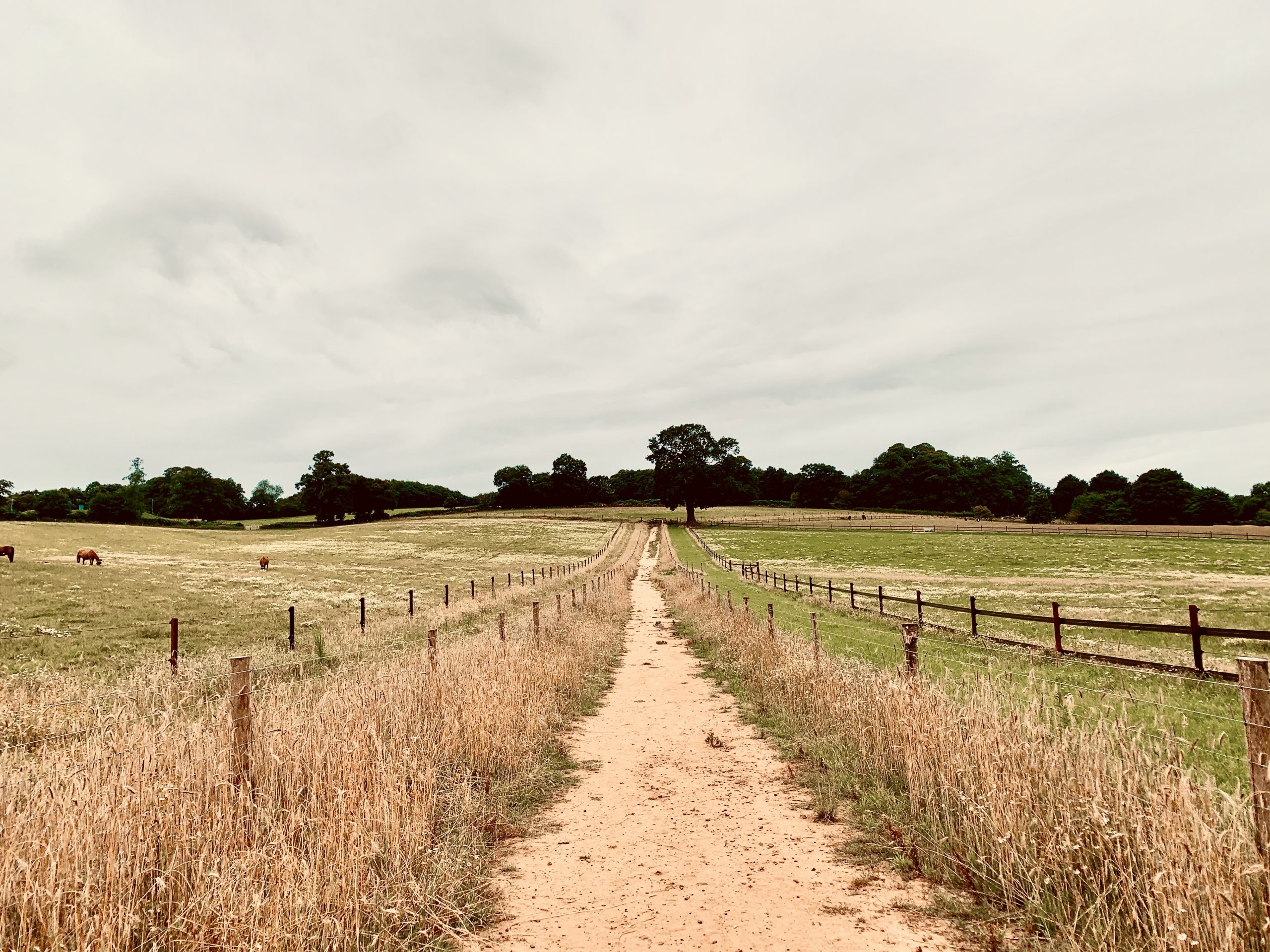
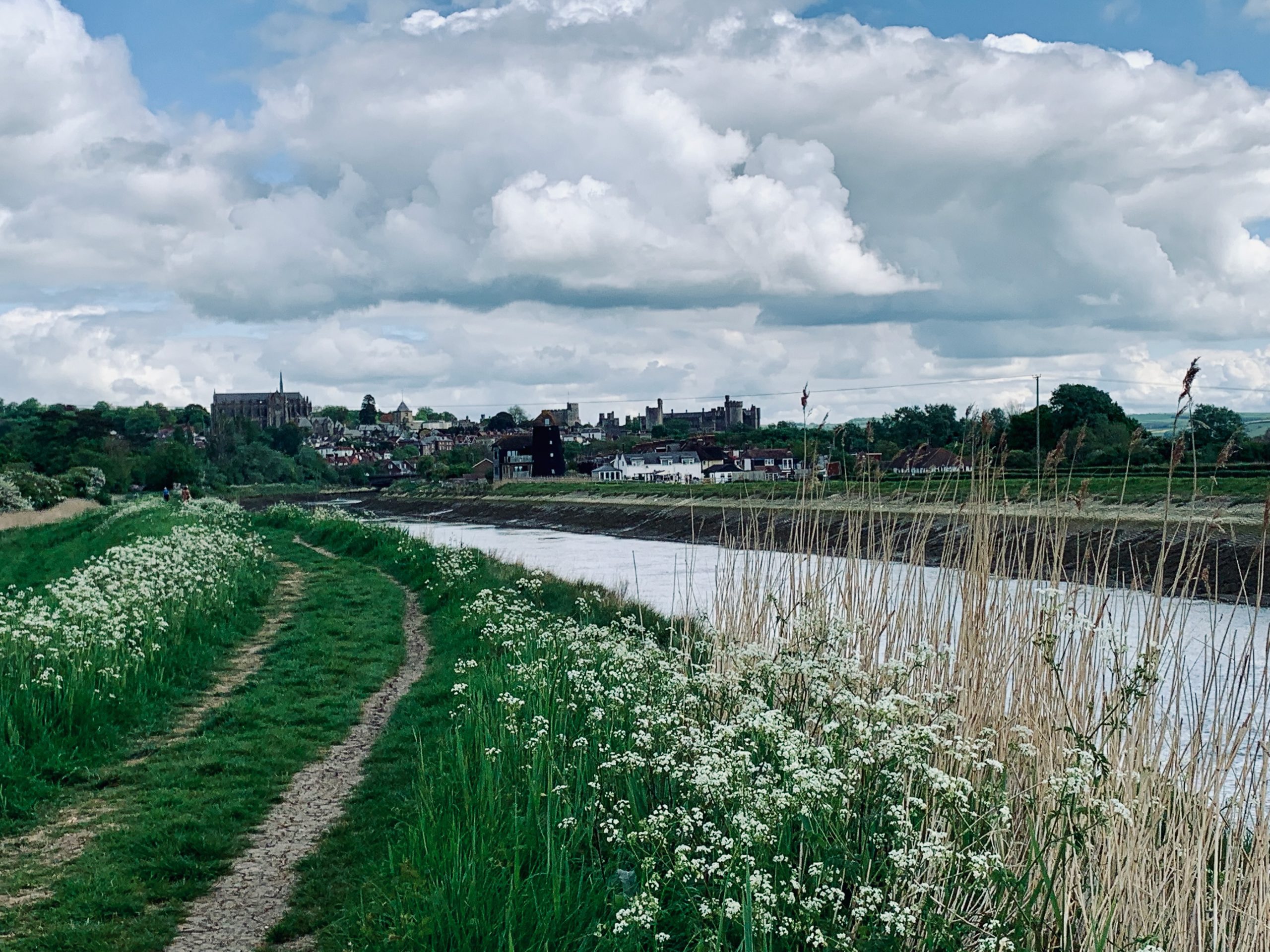
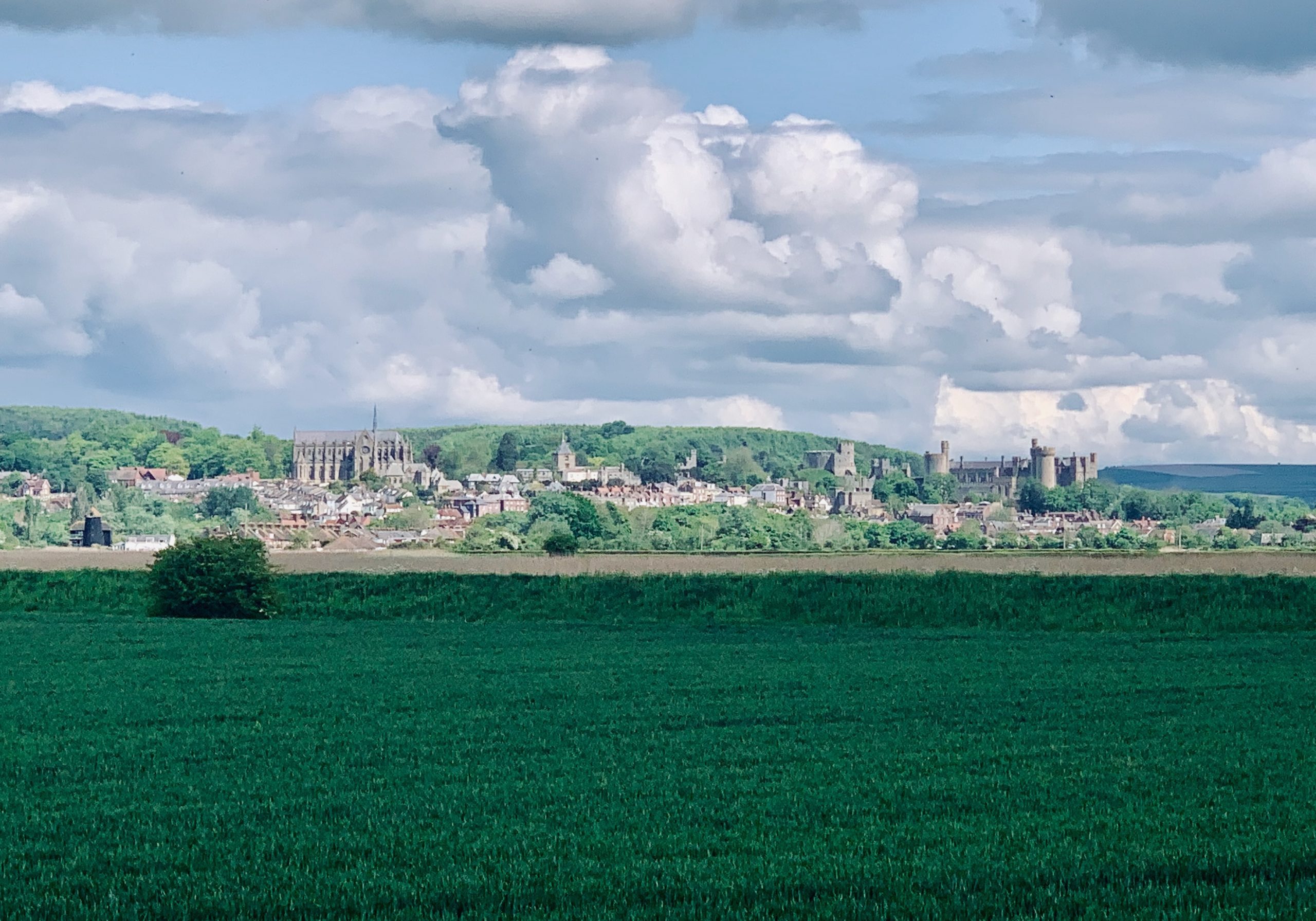
NO. 05 ARUNDEL TO AMBERLEY (11mi)
No. 5 ARUNDEL TO AMBERLEY
Distance: 11 Miles / 18km
Duration: 4hrs 15mins
Elevation Gain: 925ft
Coastal: 0%
Forest: 5%
ABOUT
This walk goes from Arundel Station to Amberley Station in the Surrey Hills. It winds along the River Arun before climbing up to the South Downs Way, offering panoramic views across West Sussex.
Trains run from London Victoria. This route goes station to station.
It takes 4-5 hours with breaks and covers 11 miles. It has 925 ft of climbing. The route features some woodland and outstanding views across Surrey.
RATING
Panoramic Views ★★★☆☆
Distance ★★★★☆
Climbing ★★★☆☆
Variation ★★★☆☆
Forest ★☆☆☆☆
Coast ☆☆☆☆☆
ROUTE PREVIEW
View Route in Google Maps
Download .gpx file for Komoot or Strava
TRANSPORT
Route to Arundel
NO. 06 WITLEY LOOP
No. 6 WITLEY LOOP
Distance: 13 Miles / 21km
Duration: 5hrs
Elevation Gain: 1,200ft
Coastal: 0%
Forest: 60%
ABOUT
This walk starts and finishes at Witley Station, meandering around the Surrey Hills near Hascombe. It combines forest trails with panoramic views and a variety of woodland types.
Trains run from London Waterloo to Witley Station.
It takes 4-5 hours with breaks and covers 13 miles. It has 1,200 ft of climbing. The route features woodland and outstanding views across Surrey.
RATING
Panoramic Views ★★★☆☆
Distance ★★★★☆
Climbing ★★★★☆
Variation ★★★★☆
Forest ★★★☆☆
Coast ☆☆☆☆☆
ROUTE PREVIEW
View Route in Google Maps
Download .gpx file for Komoot or Strava
TRANSPORT
Route to Witley
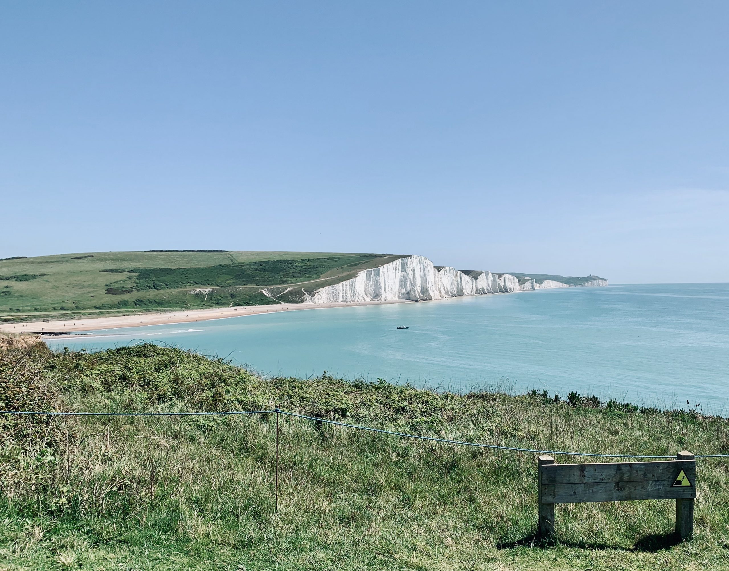
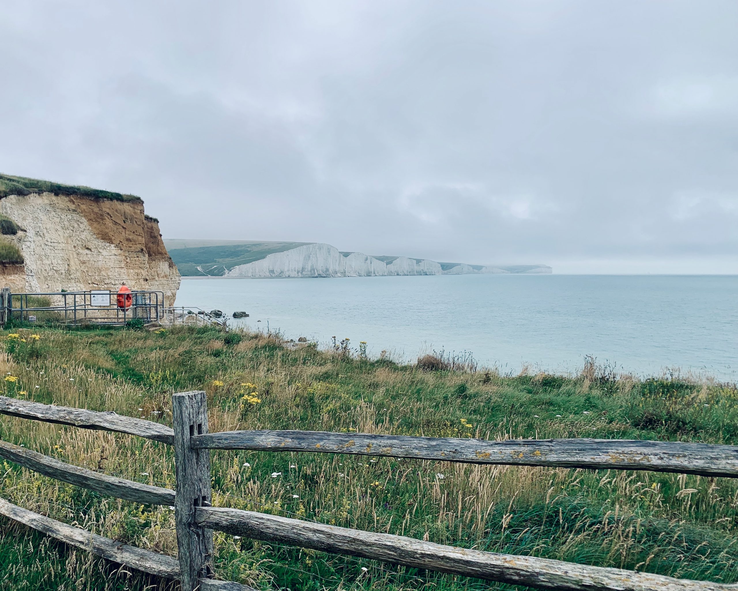
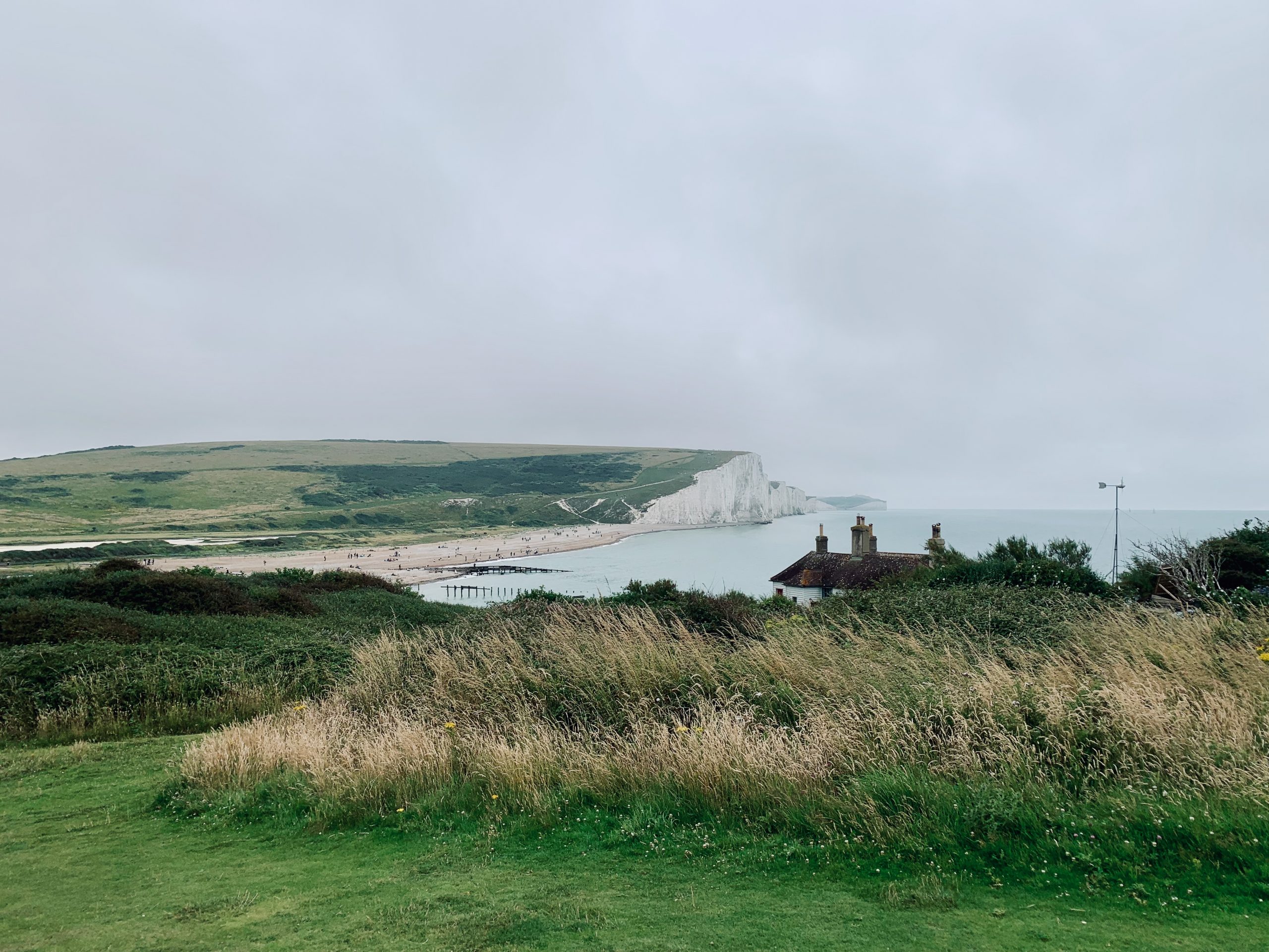
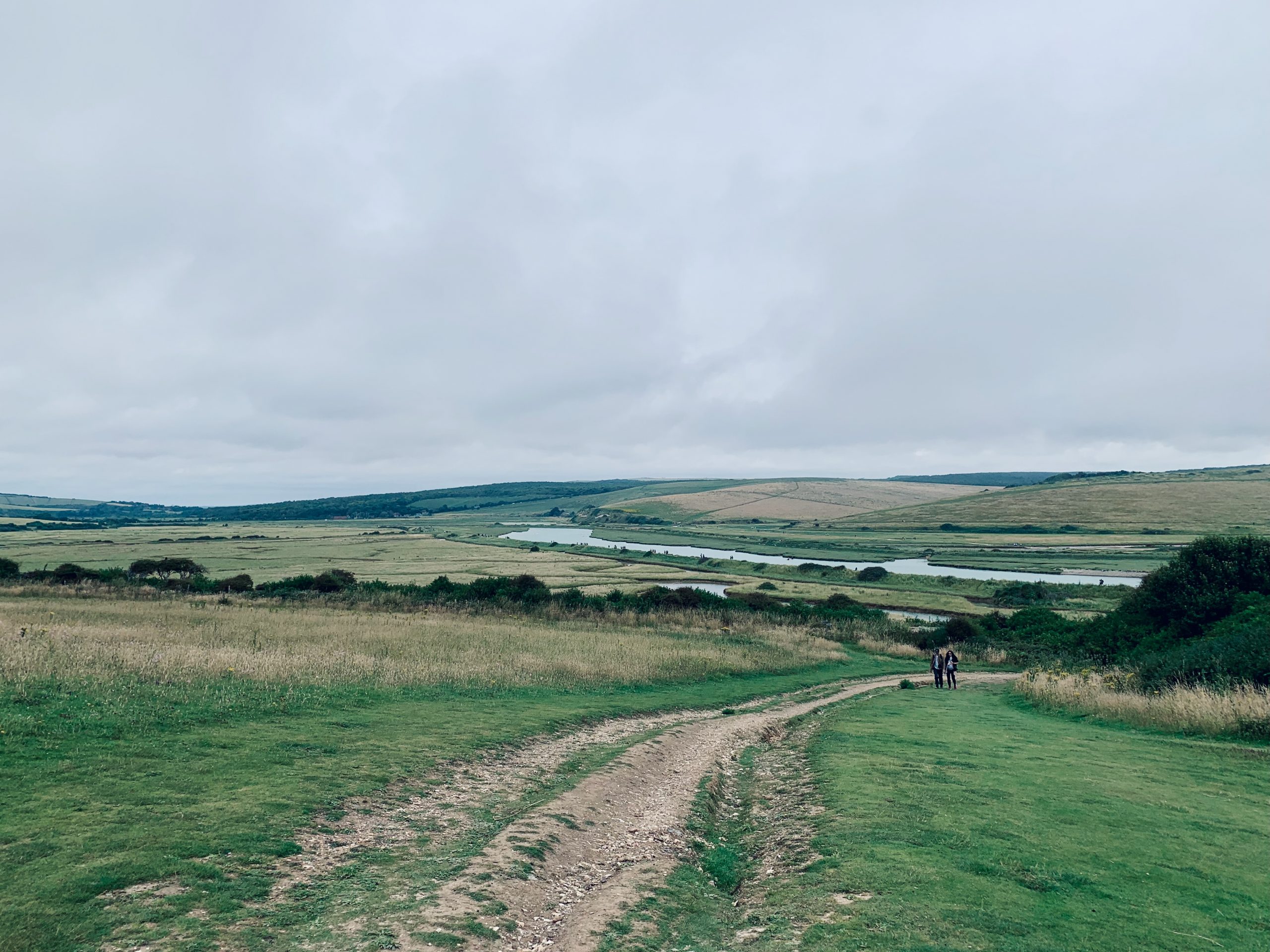
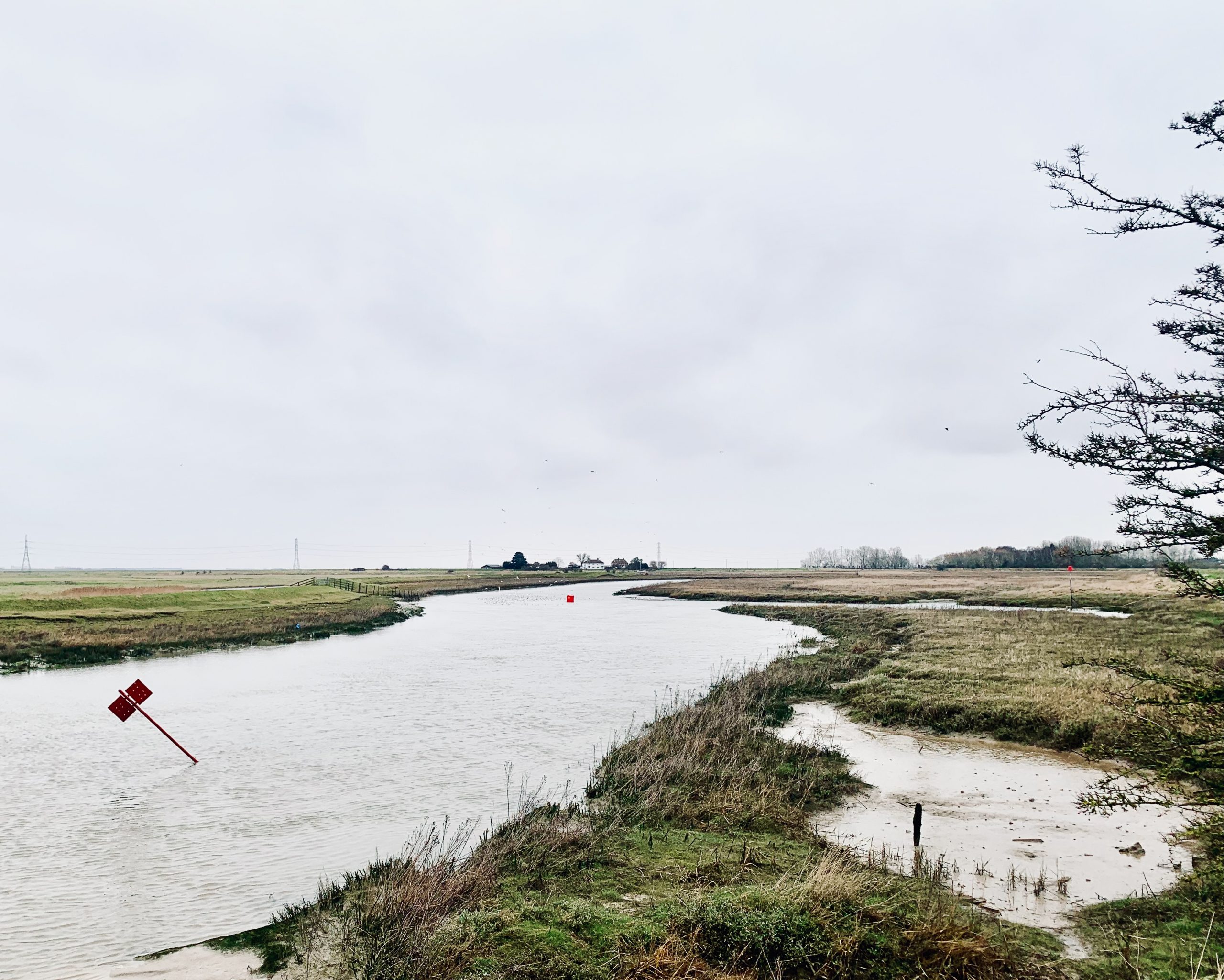
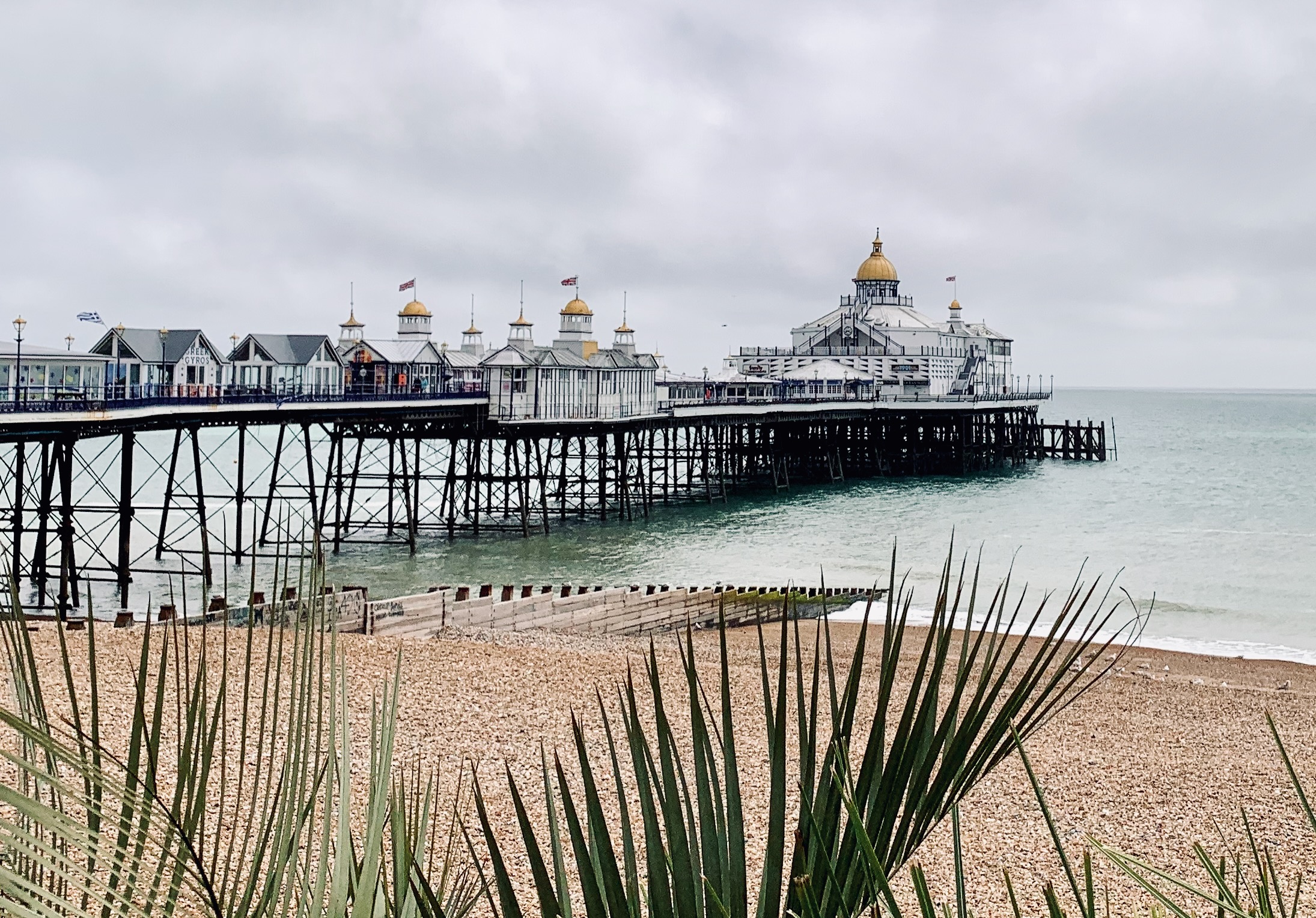
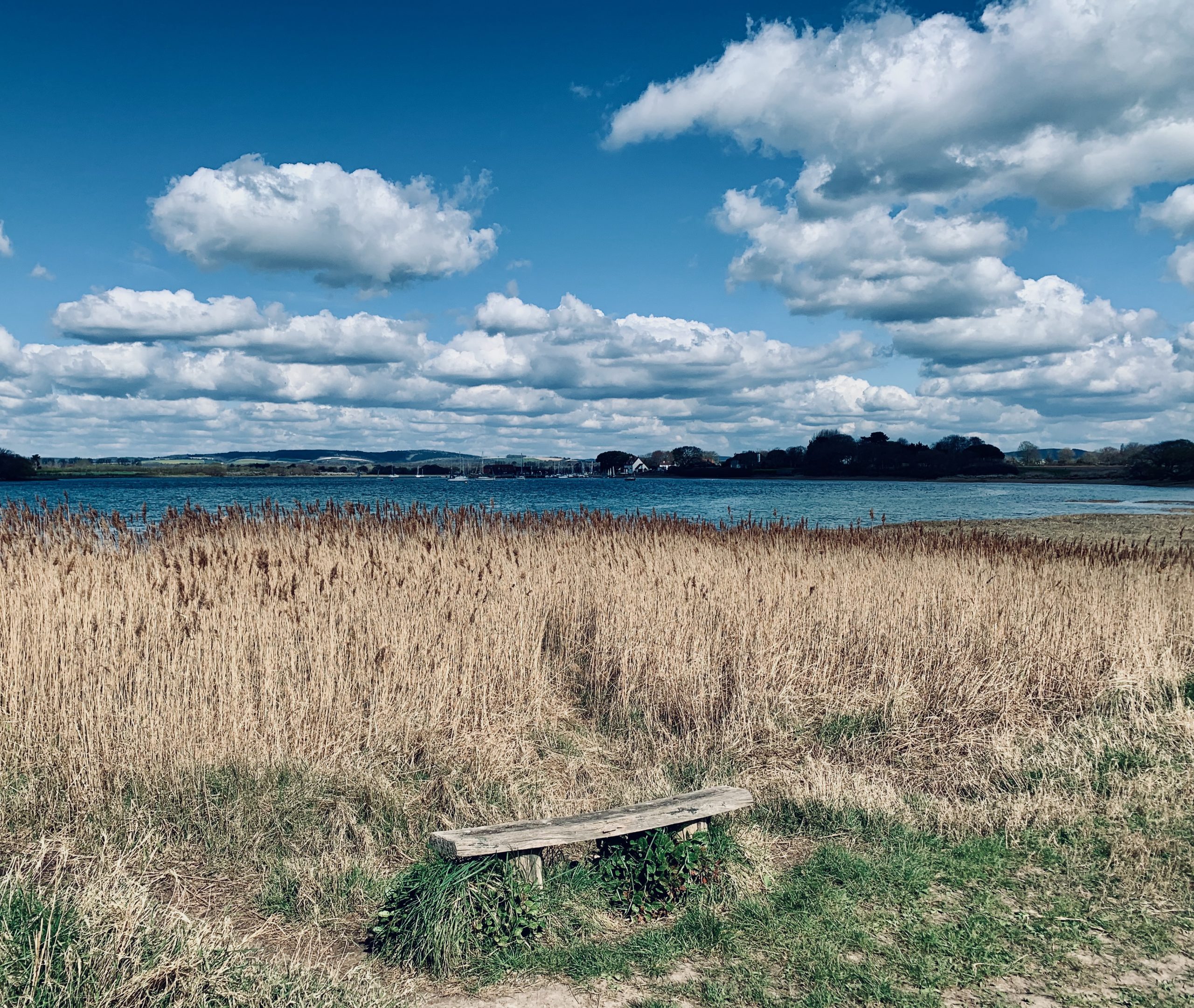
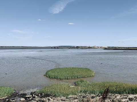
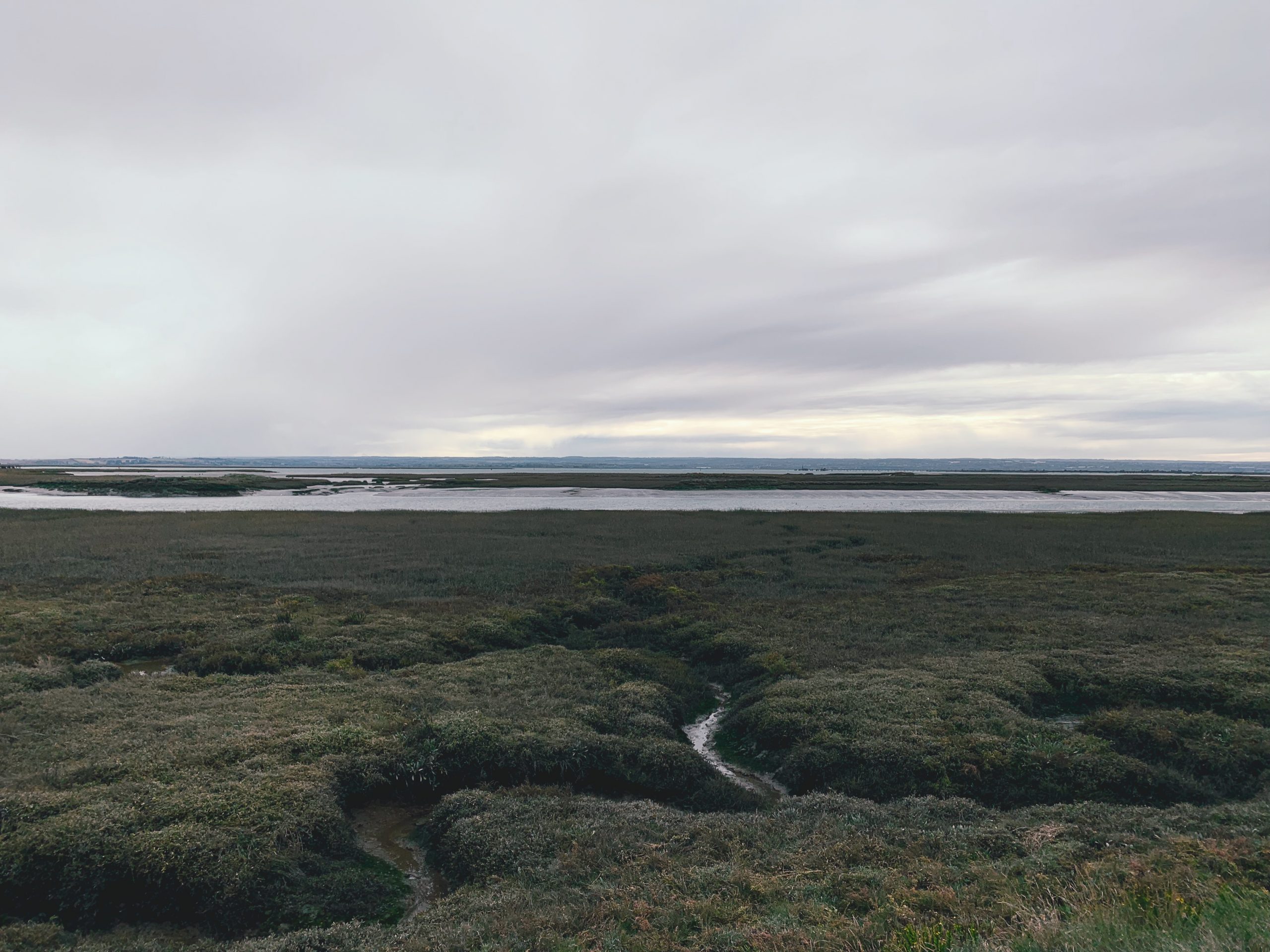
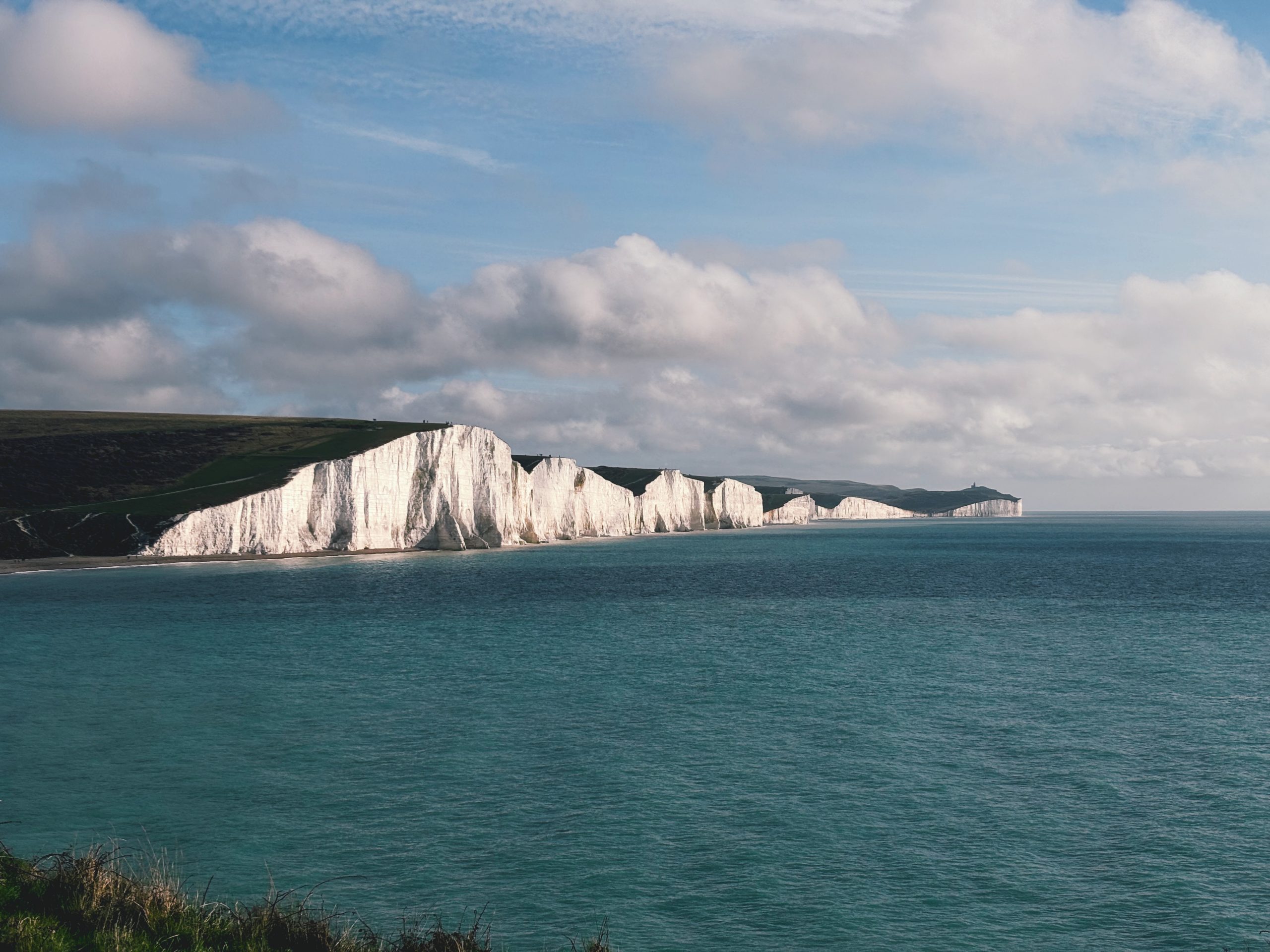
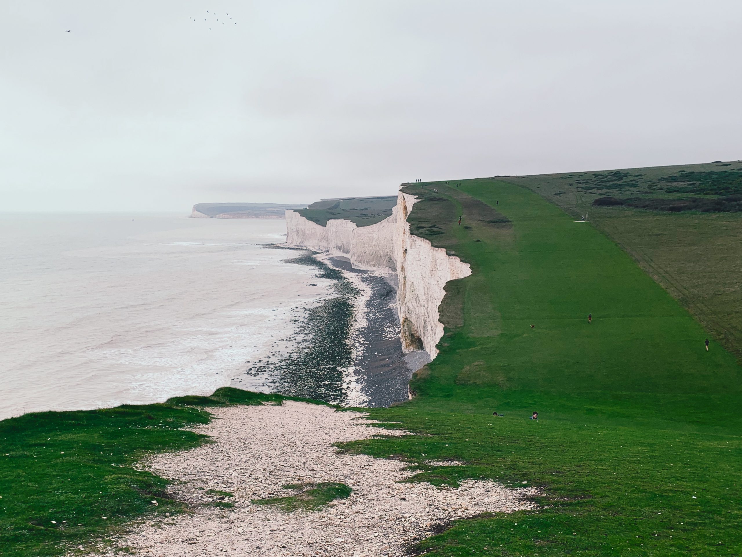
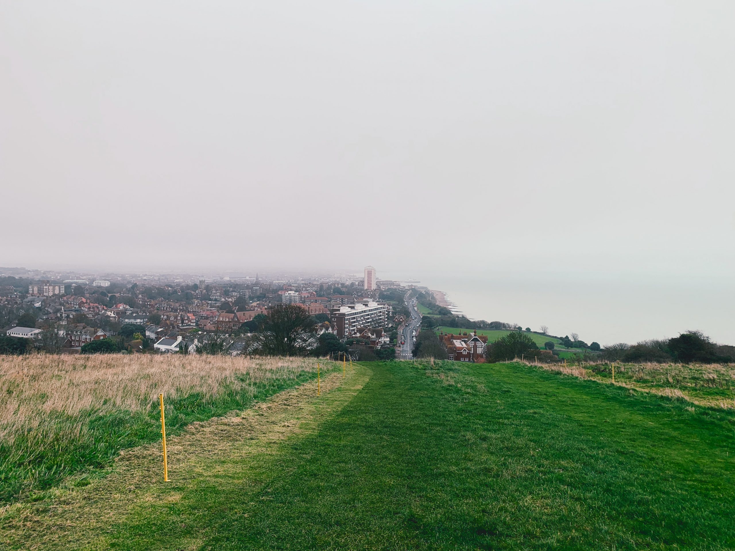
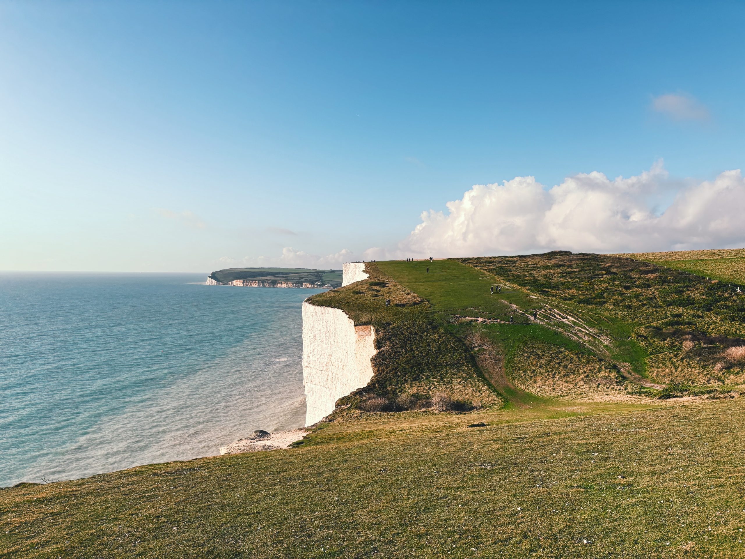
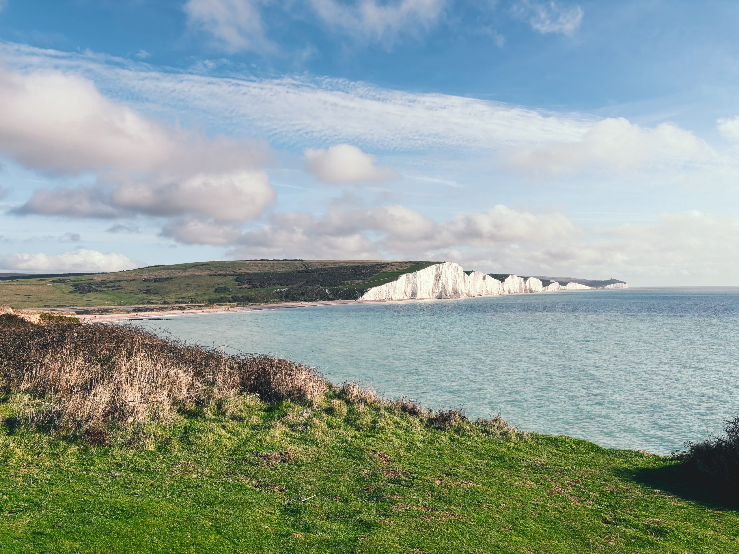
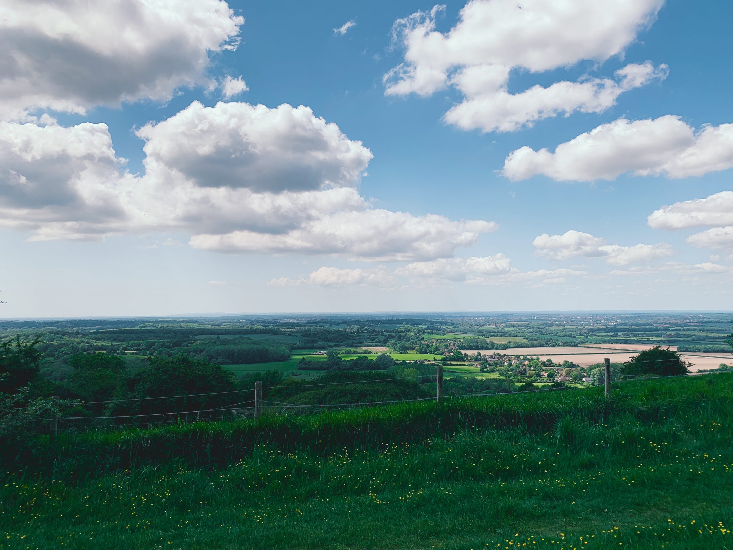
NO. 07 SEAFORD (VIA CUCKMERE HAVEN) TO GLYNDE (15mi)
No. 7 SEAFORD TO GLYNDE
Distance: 15 Miles / 24km
Duration: 5hrs 45mins
Elevation Gain: 1,450ft
Coastal: 10%
Forest: 10%
ABOUT
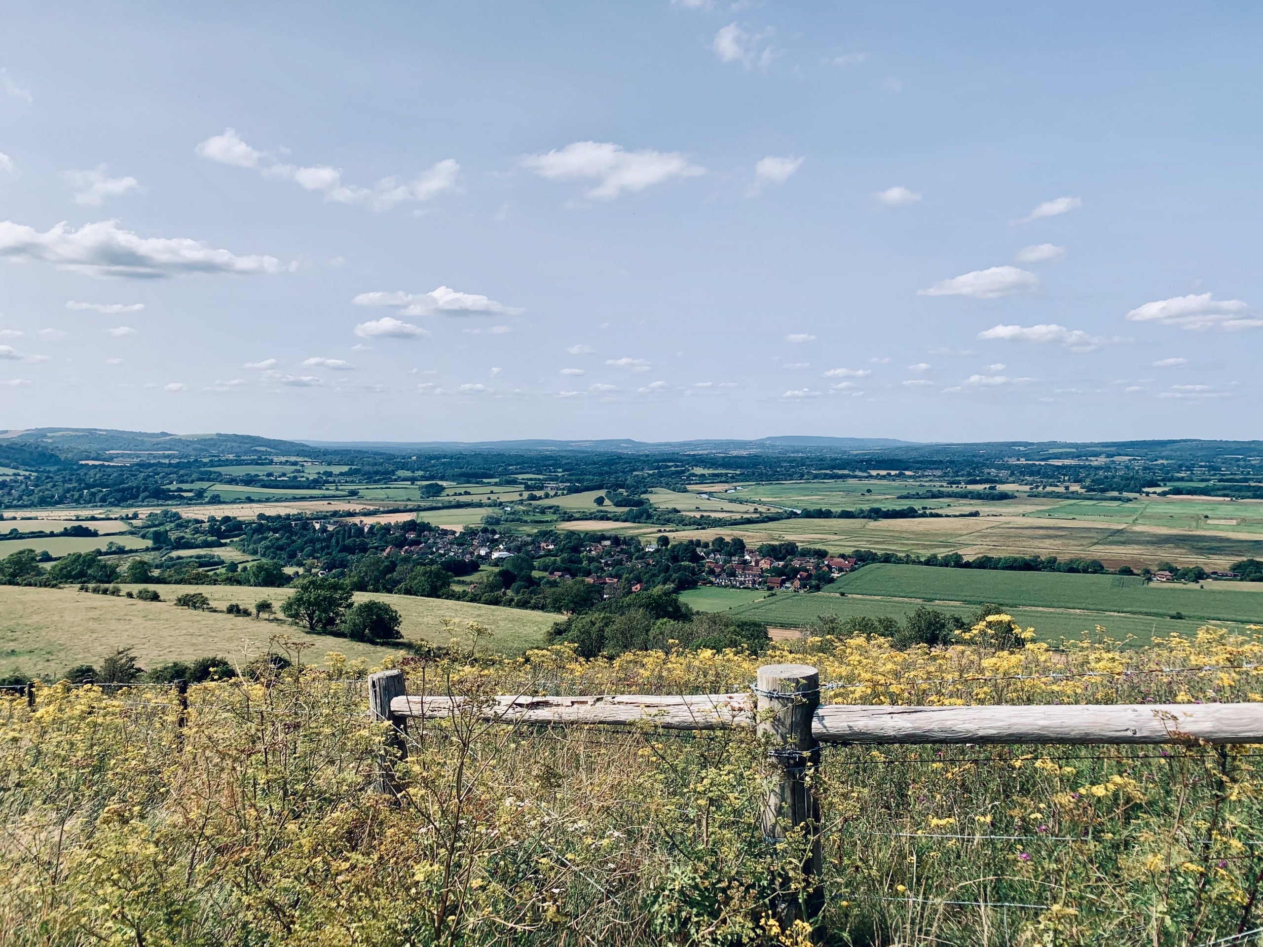
This walk starts at Seaford Station and finishes at Glynde Station, offering views over the Seven Sisters. It is one of the most geographically varied walks, featuring forest, coast, rolling hills, and panoramic views.
Trains run from St Pancras International to Seaford and Glynde stations.
It takes 5-6 hours with breaks and covers 15 miles. It has 1,450 ft of climbing.
RATING
Panoramic Views ★★★★★
Distance ★★★★★
Climbing ★★★★★
Variation ★★★★☆
Forest ★☆☆☆☆
Coast ★★★★★
ROUTE PREVIEW
View Route in Google Maps
Download .gpx file for Komoot or Strava
TRANSPORT
Route to Seaford
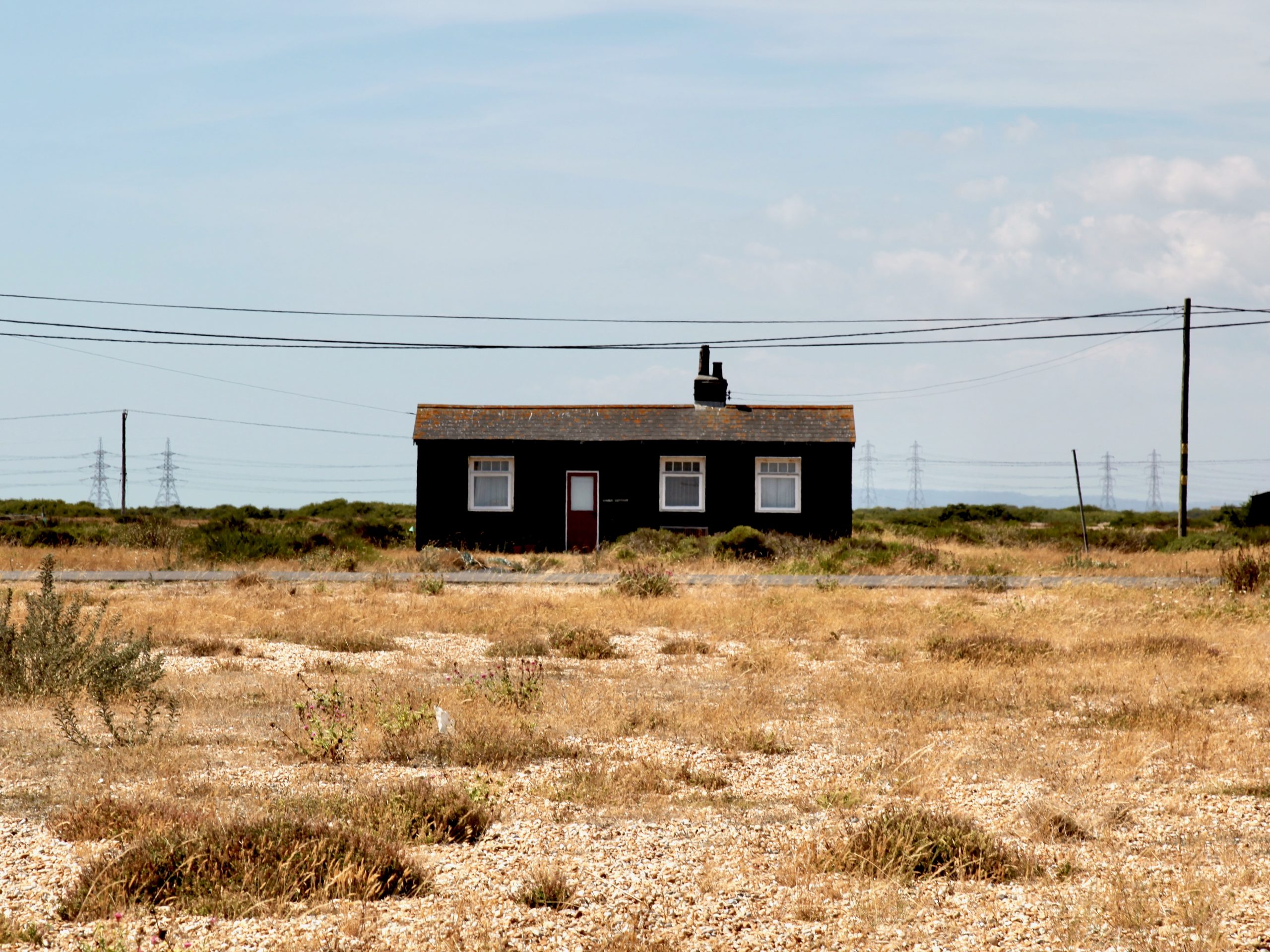
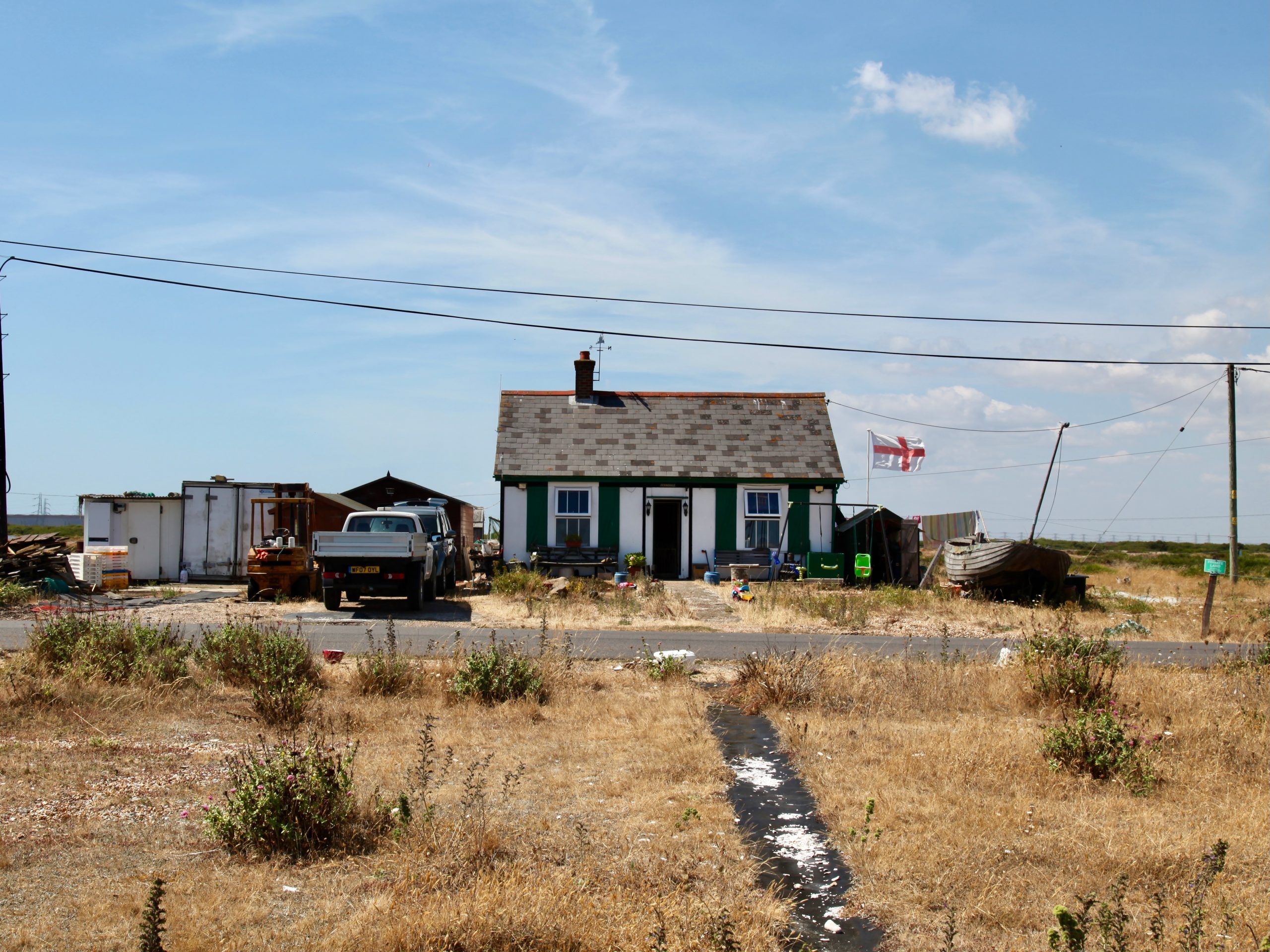
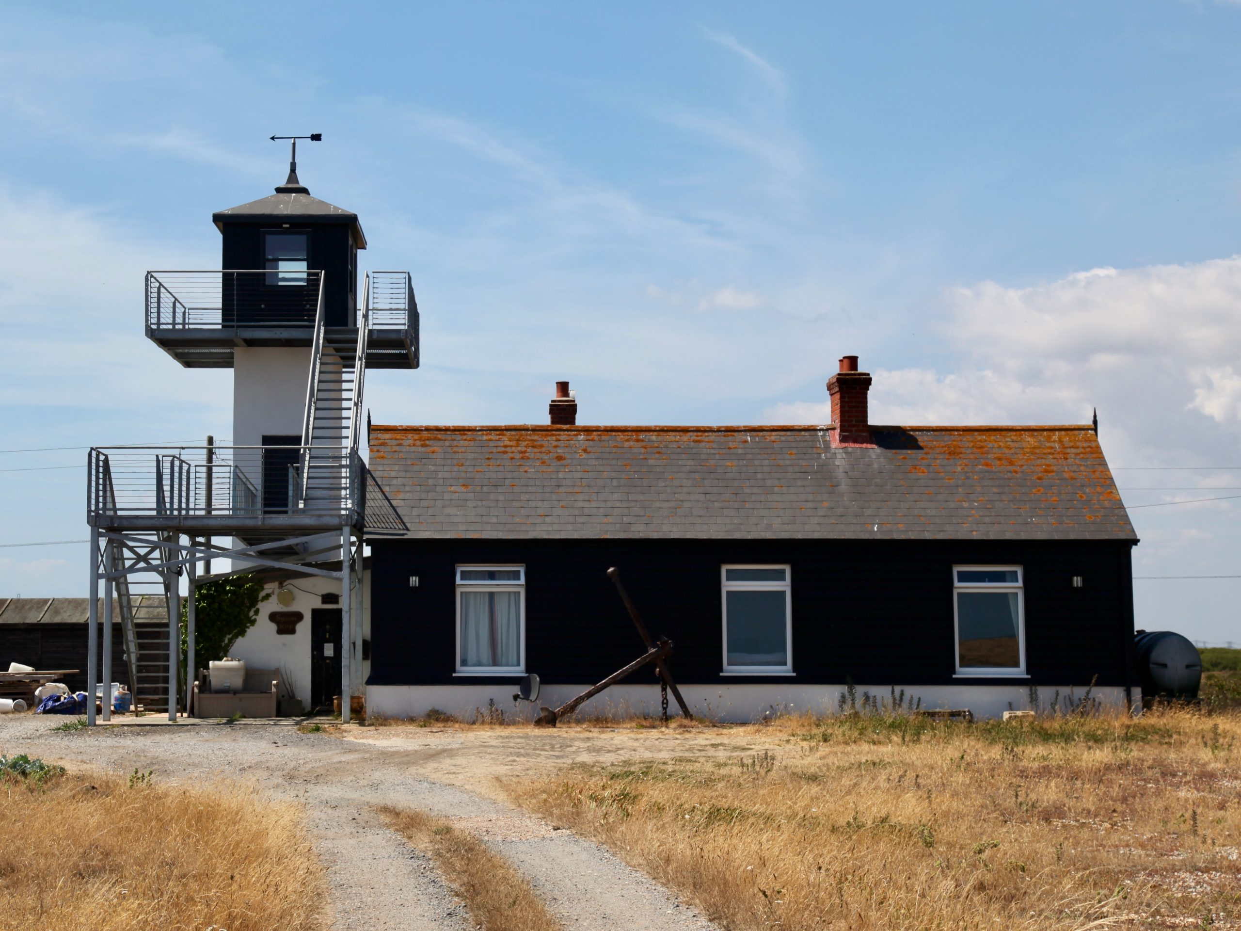
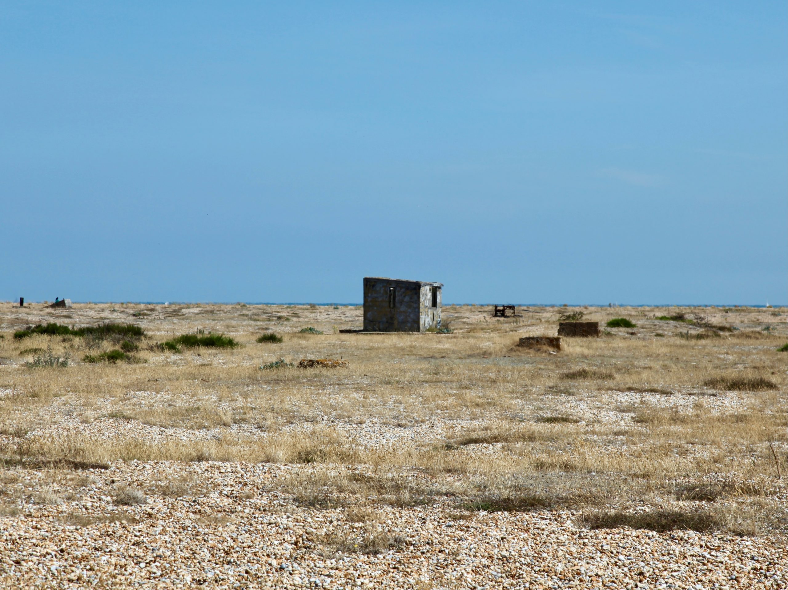
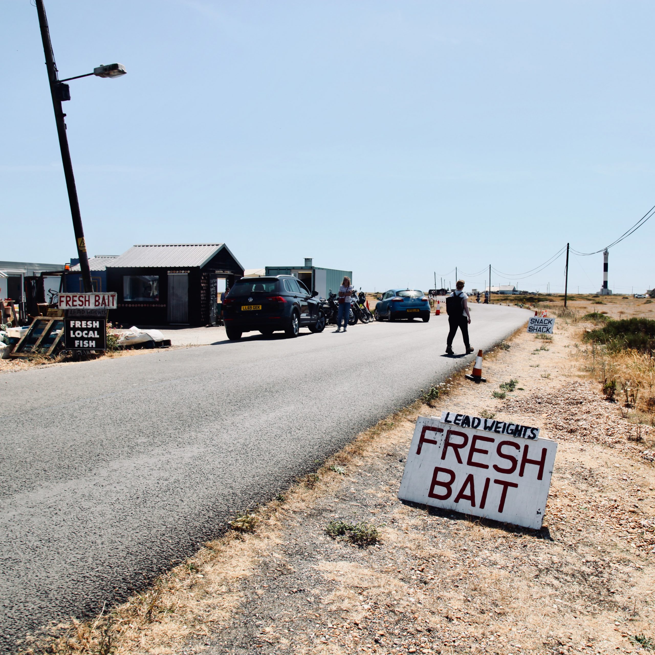
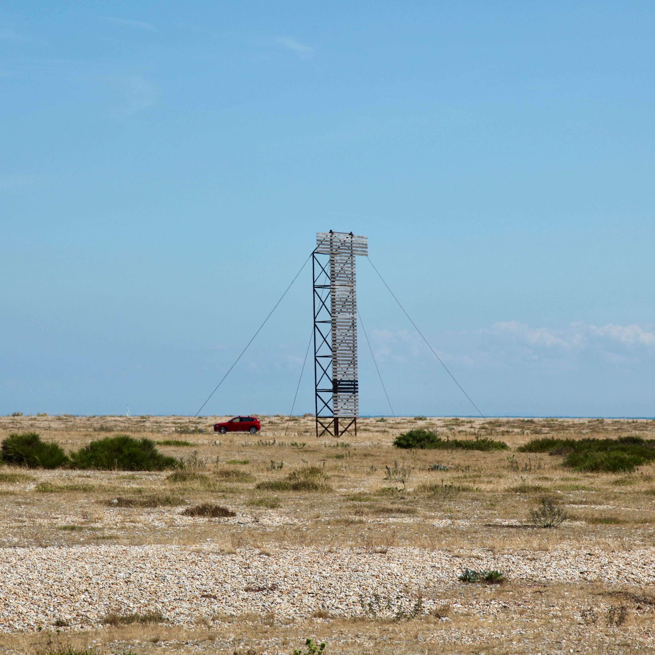
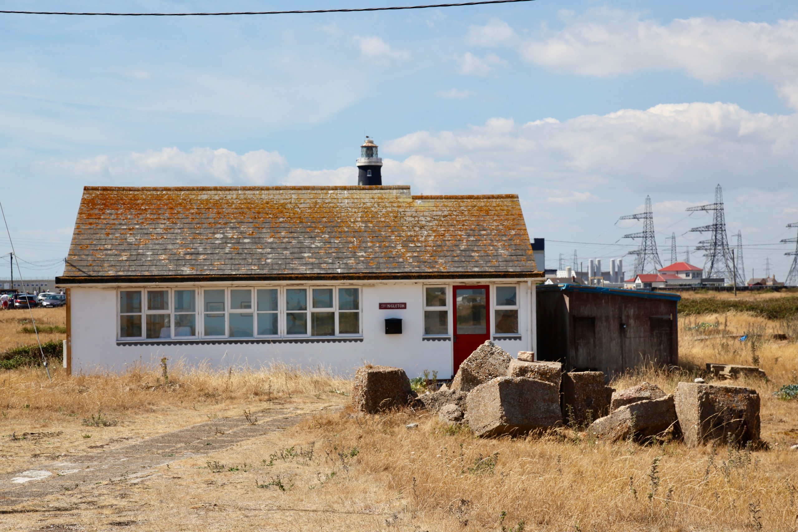
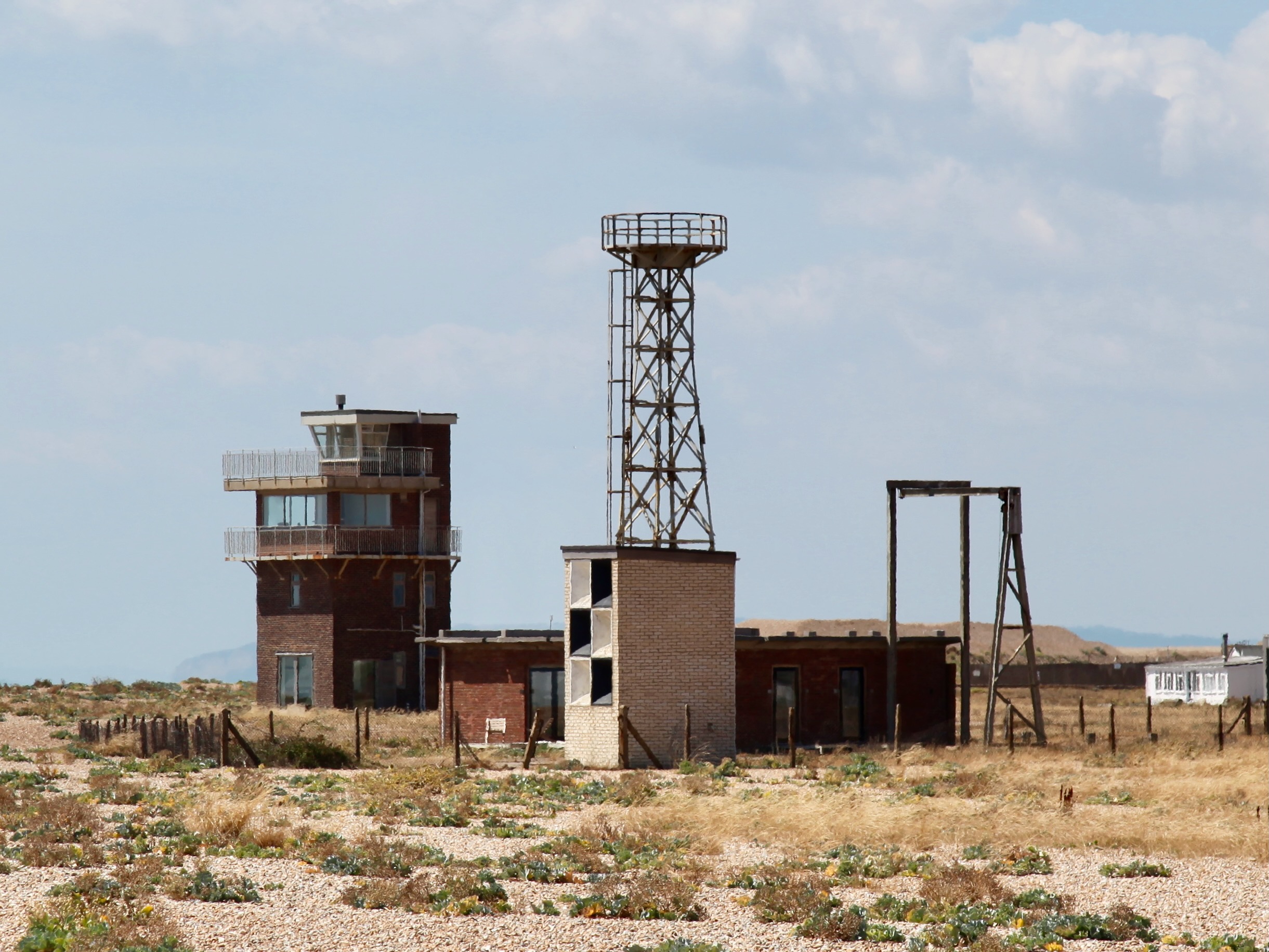
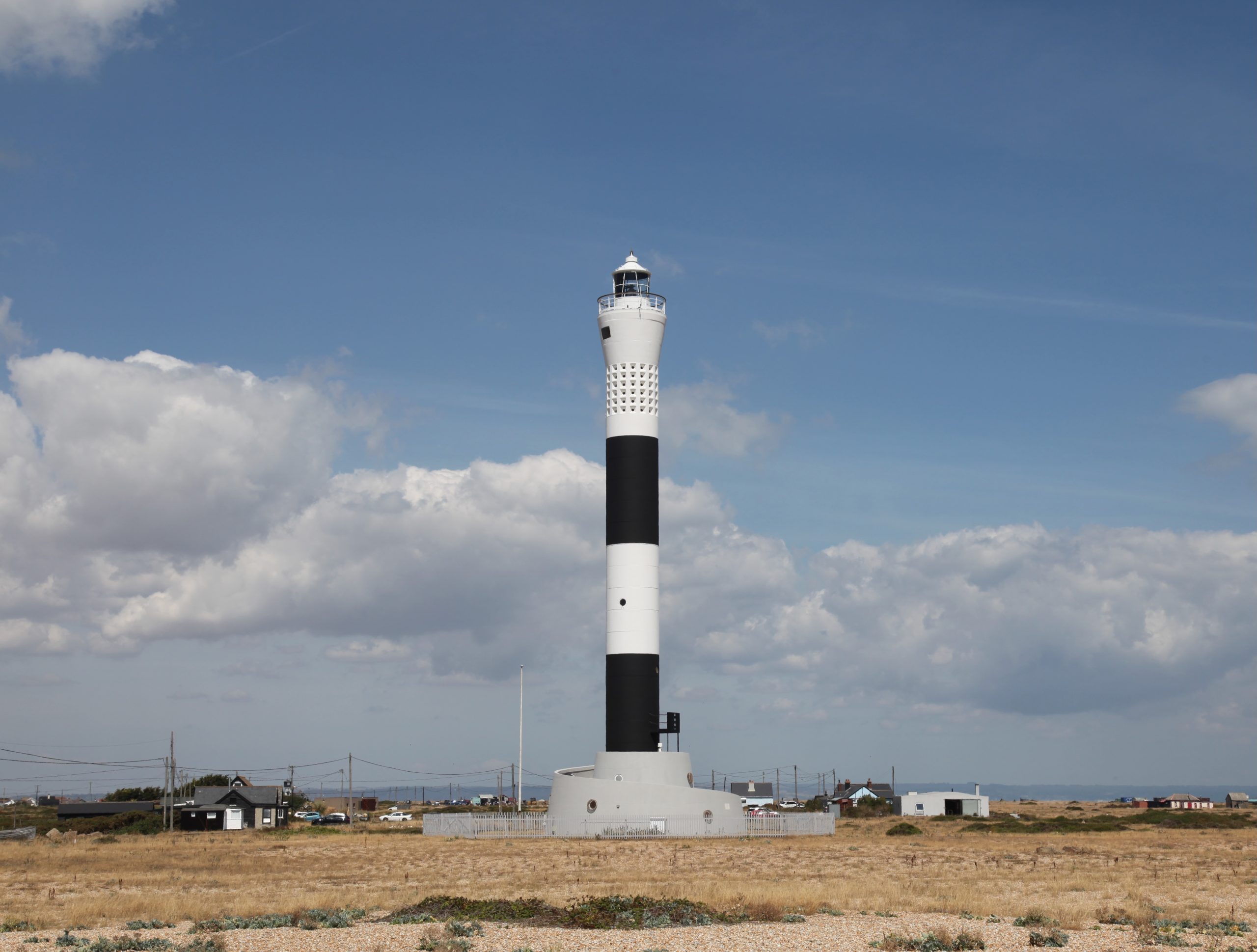
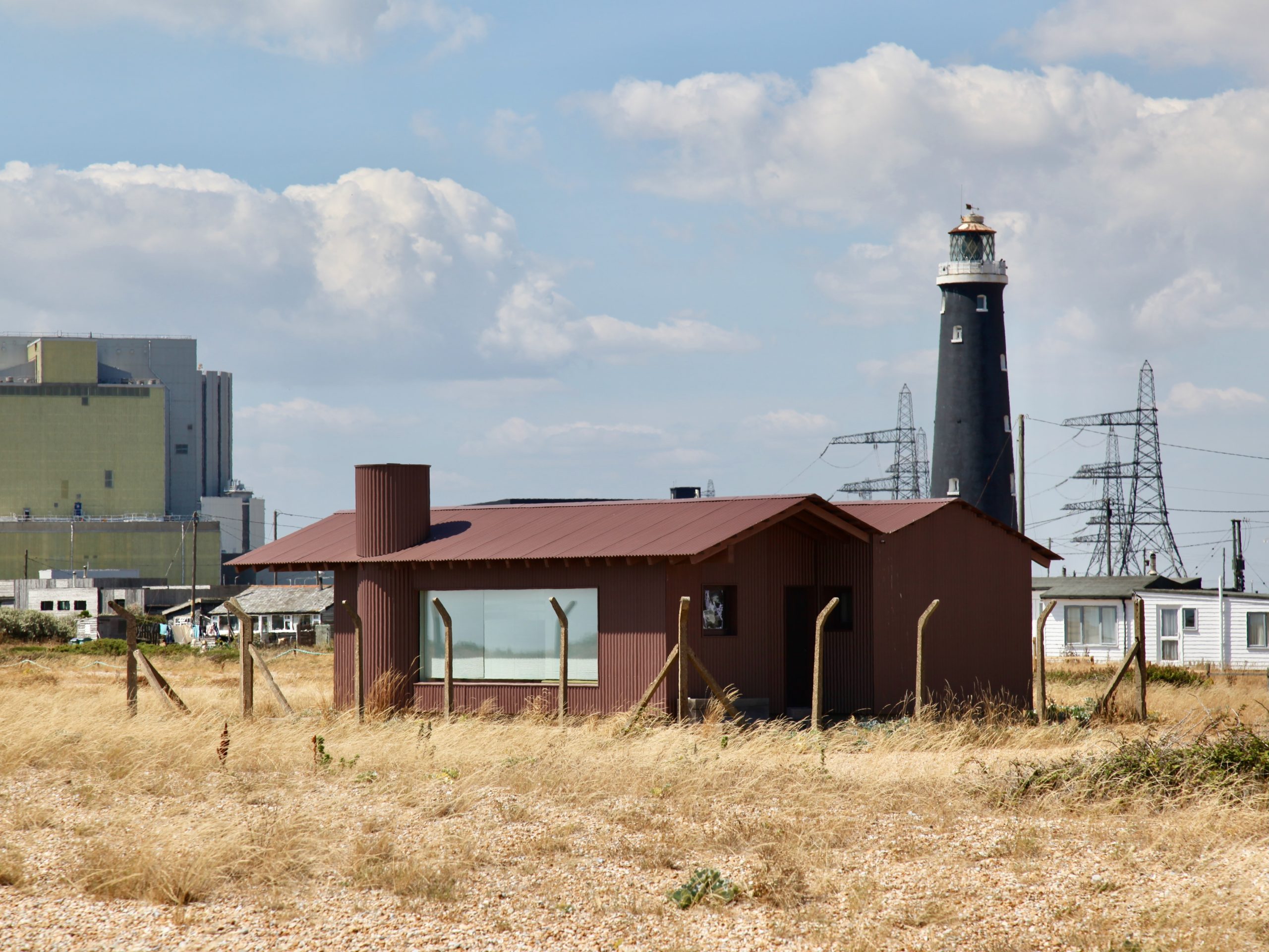
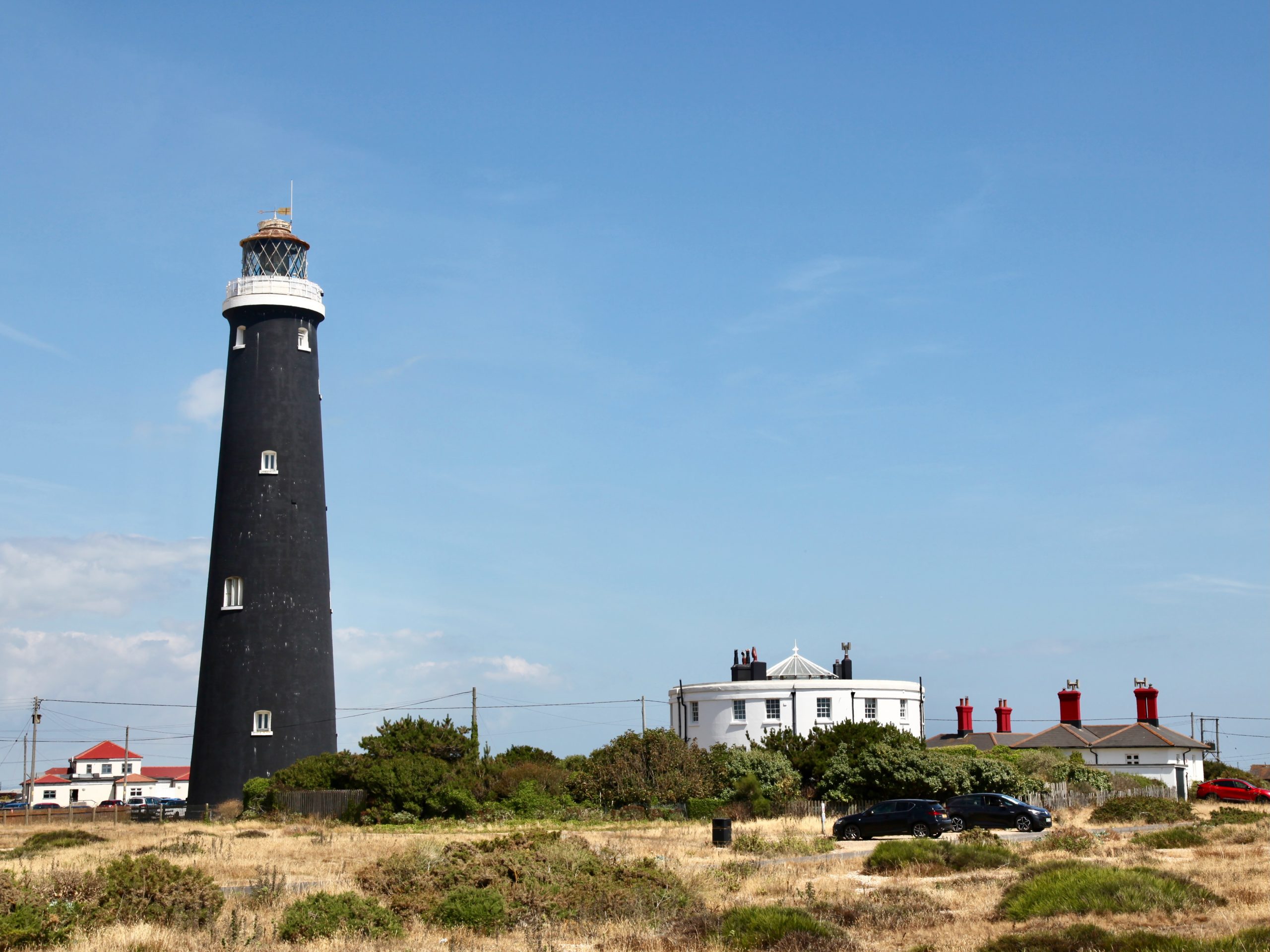
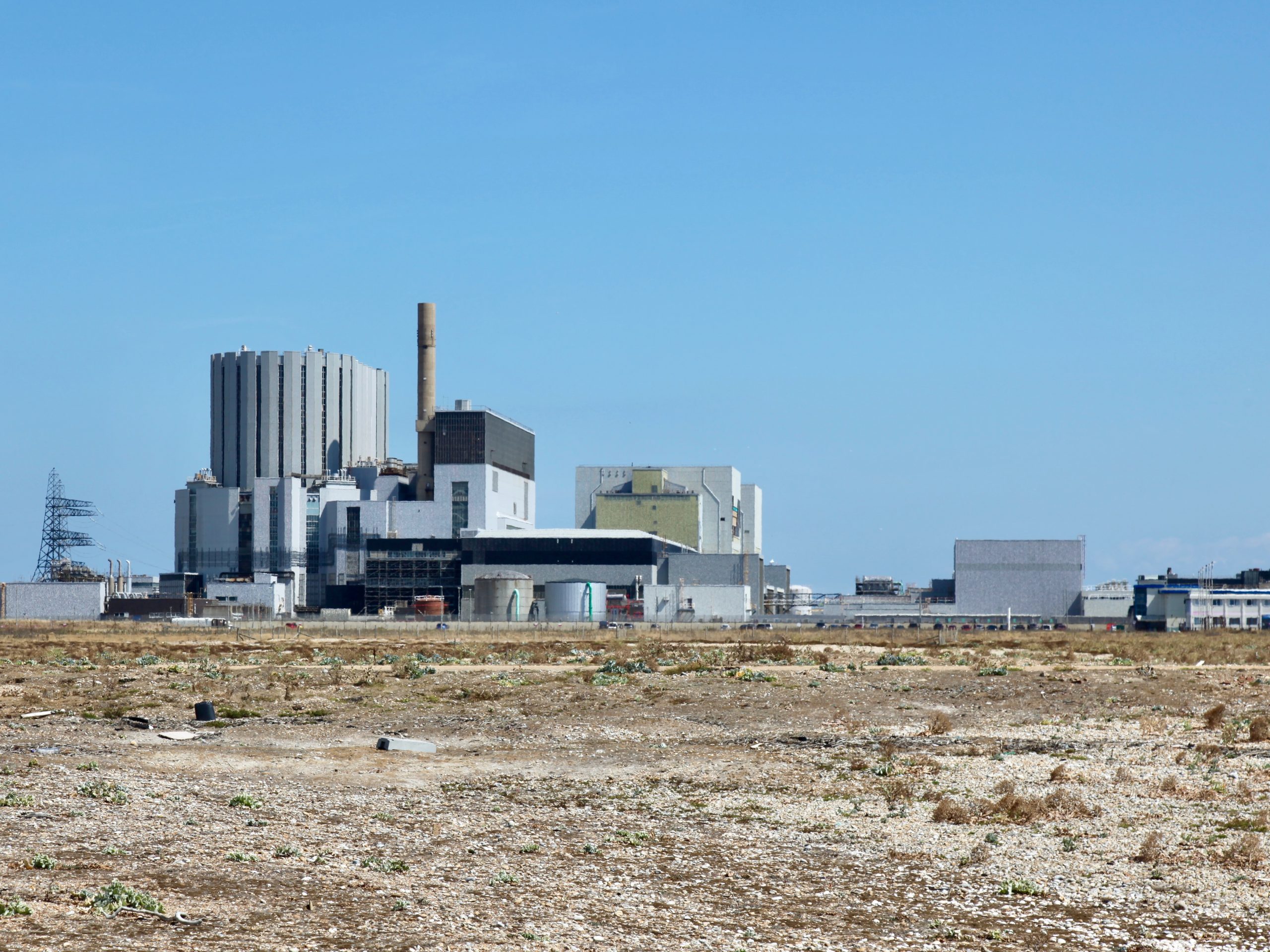
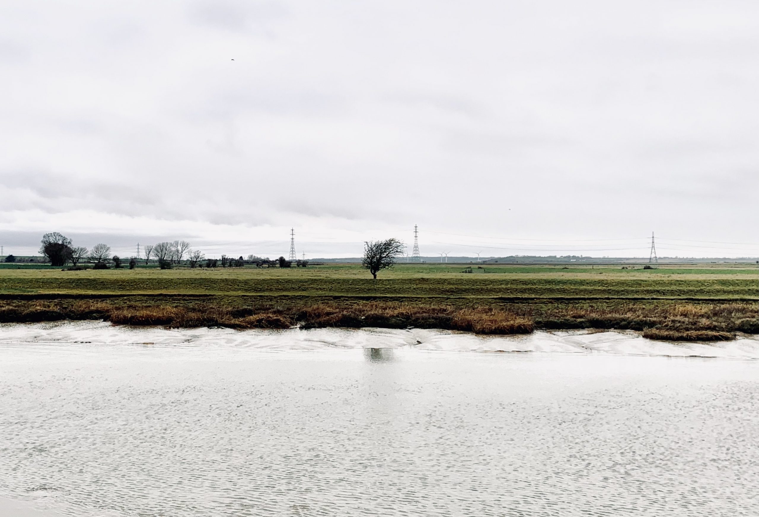
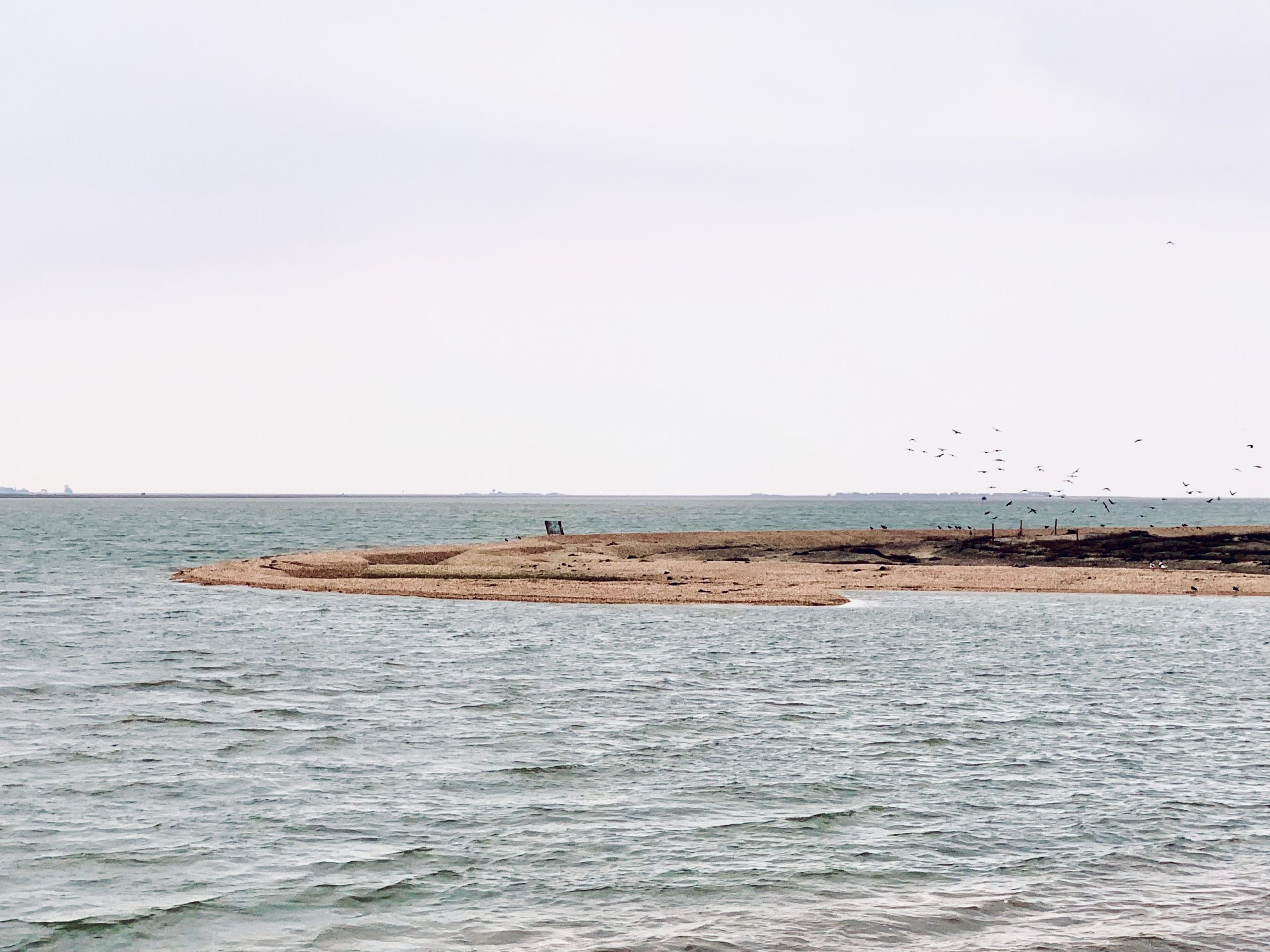
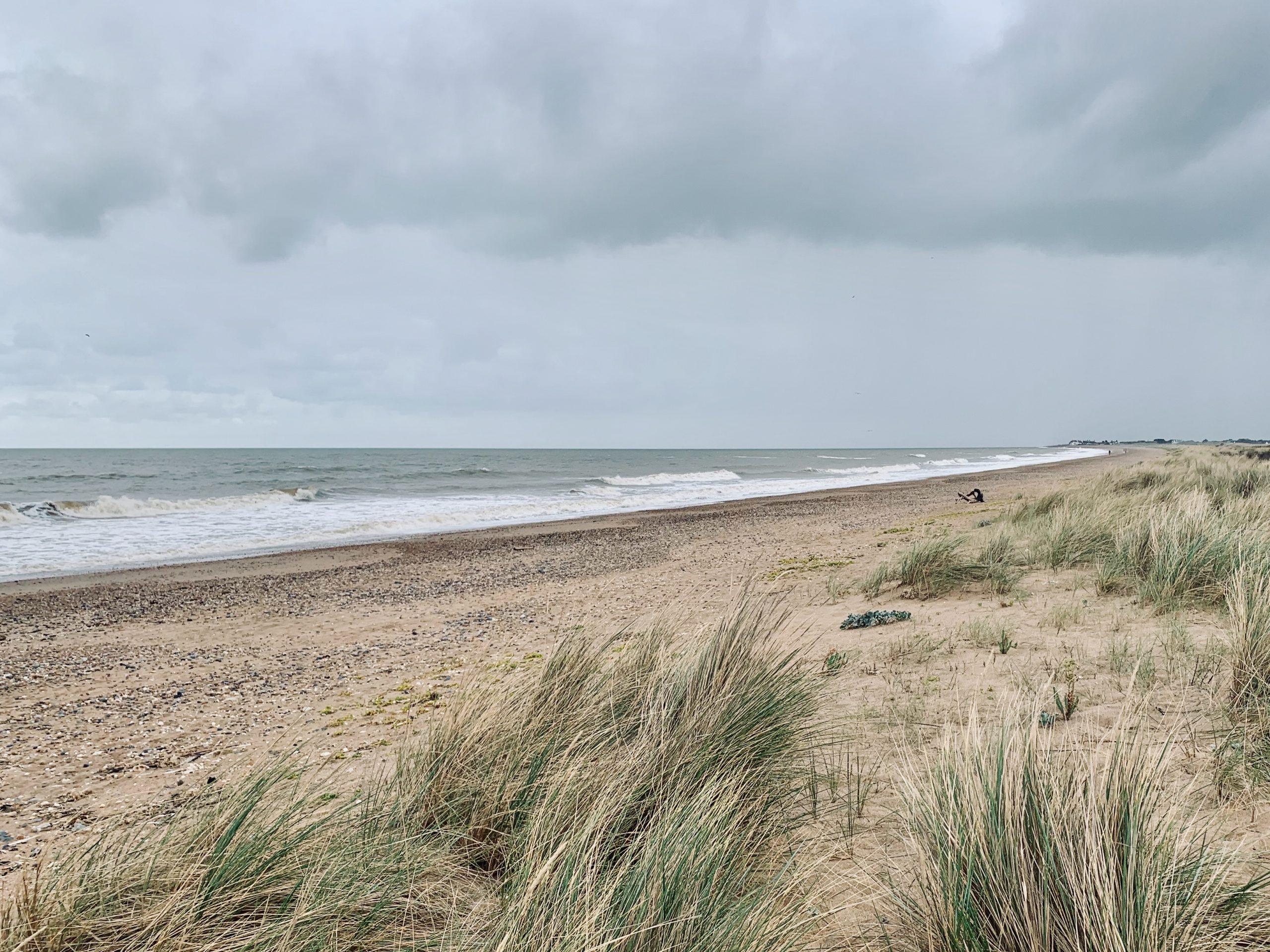
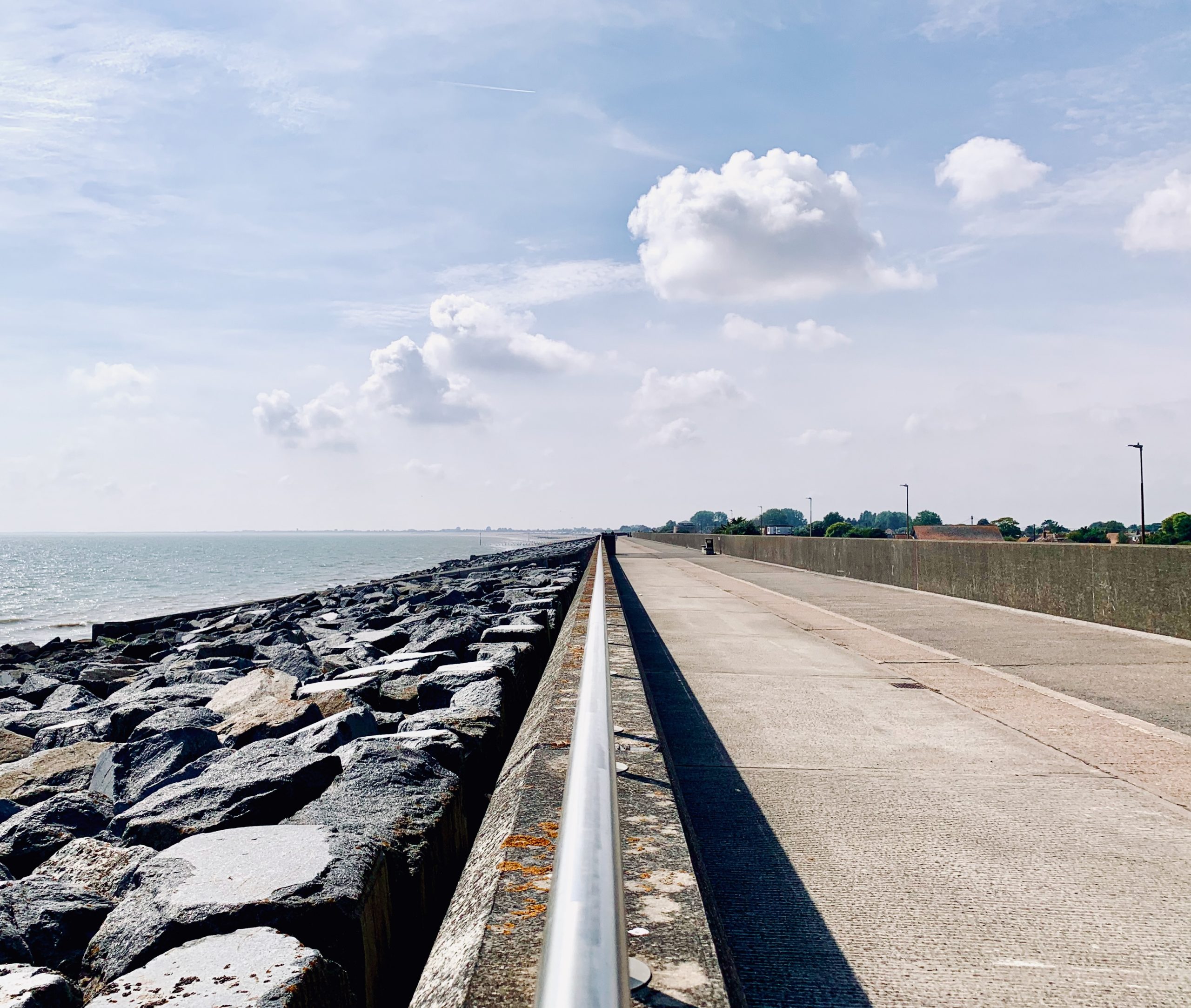
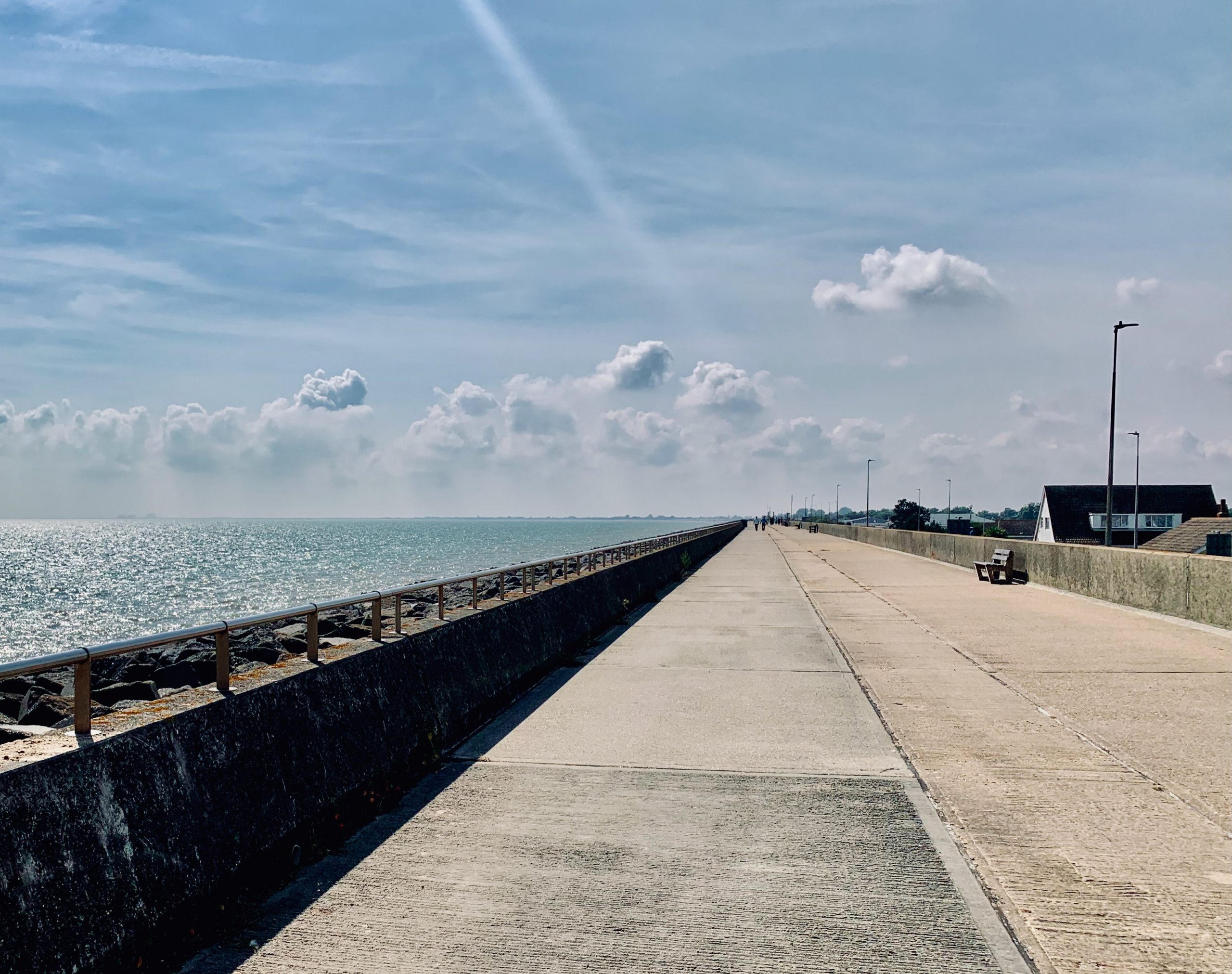
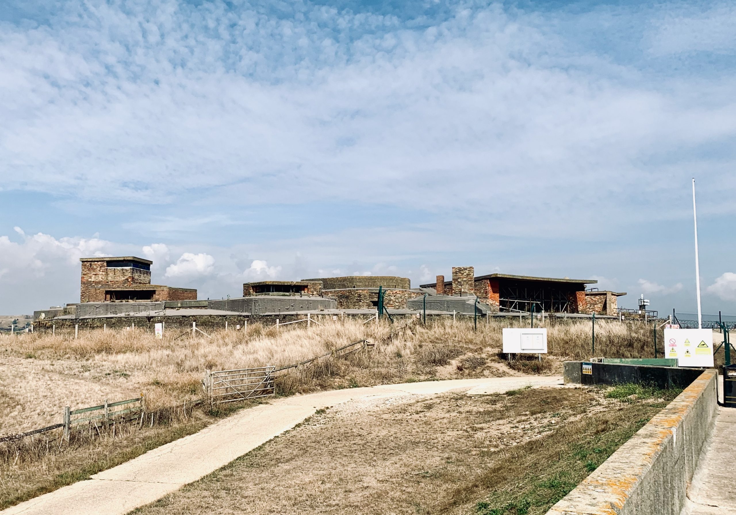
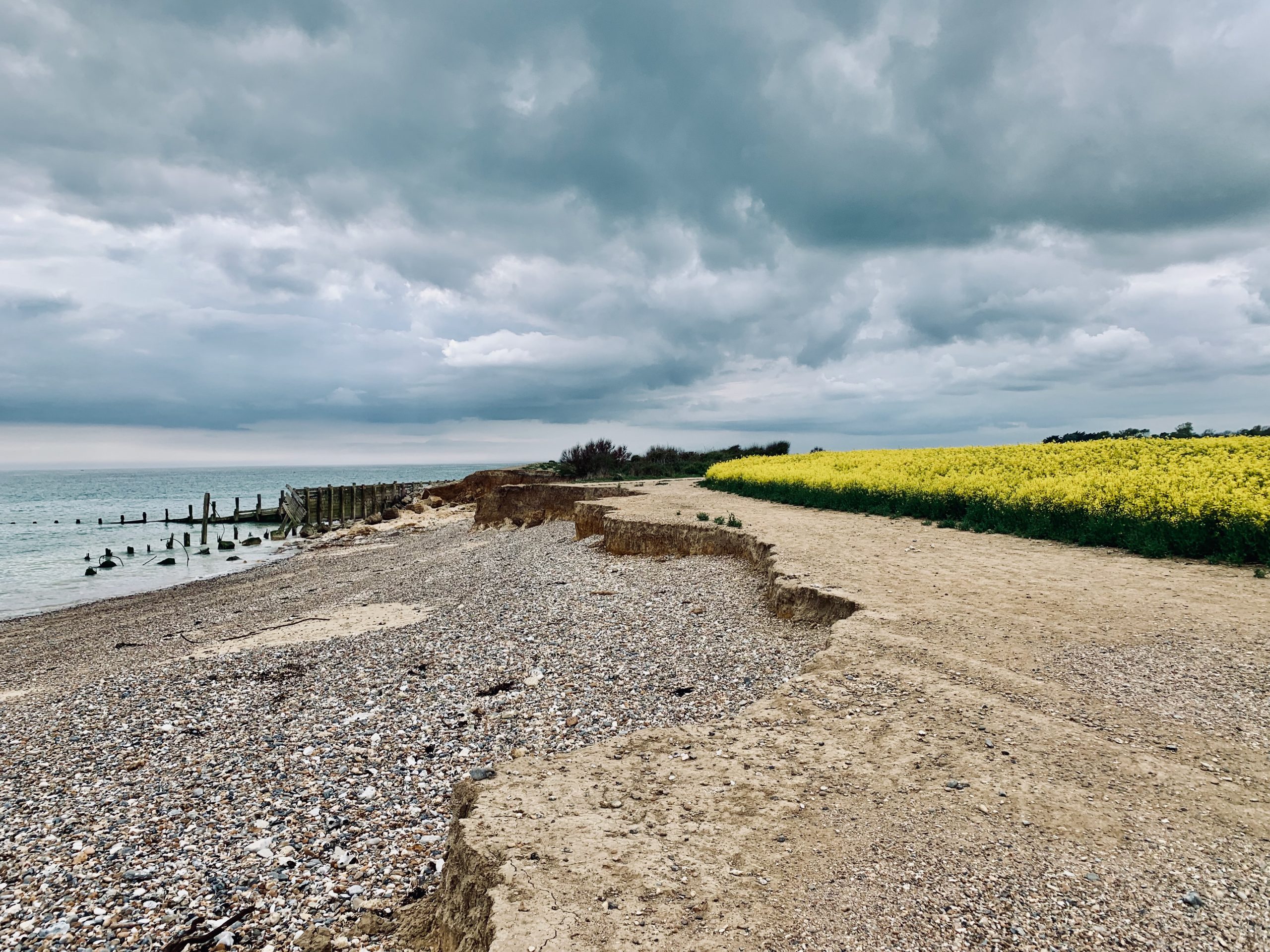
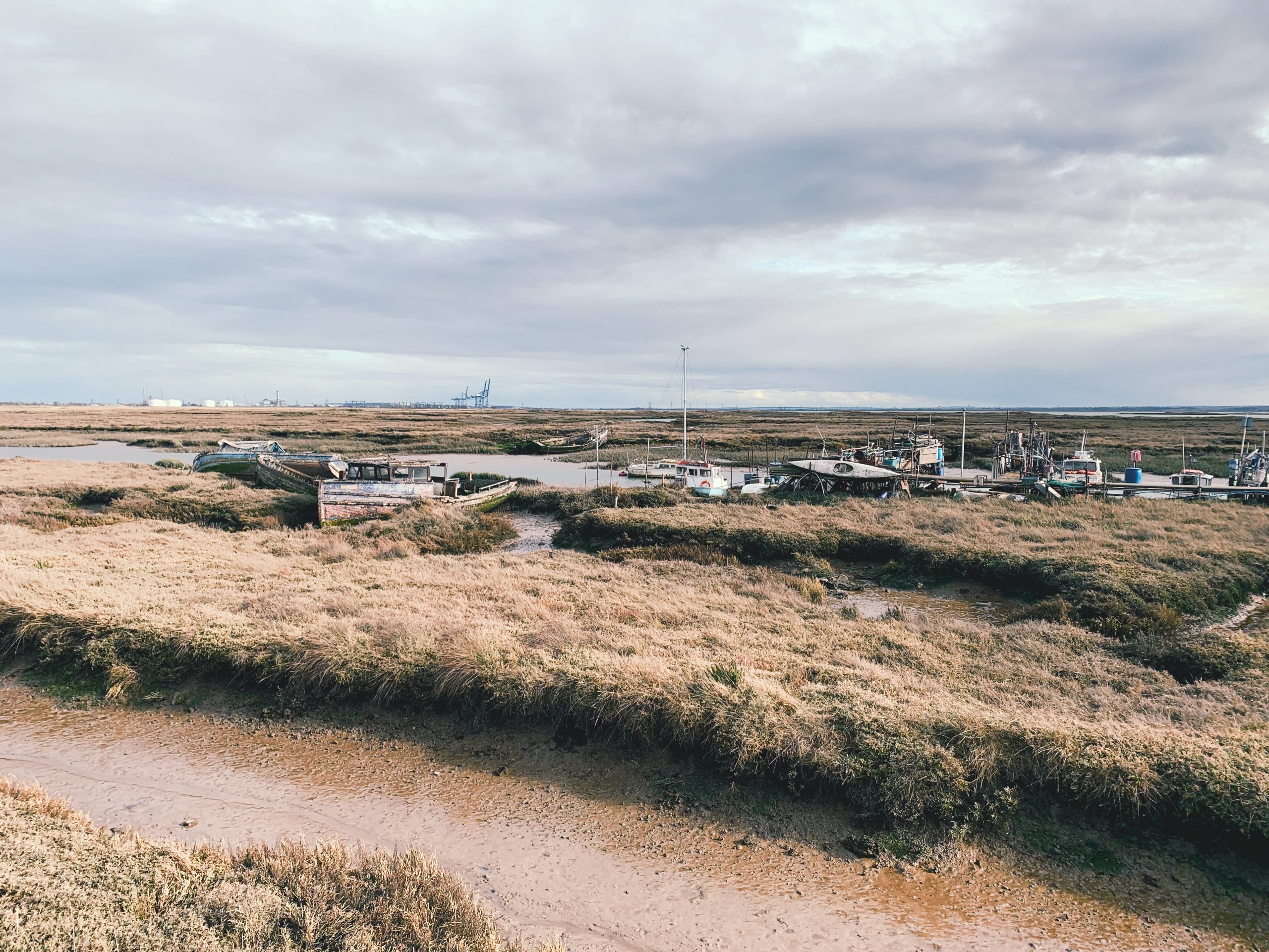
NO. 08 DYMCHURCH TO DUNGENESS (9mi)
No. 8 DYMCHURCH TO DUNGENESS
Distance: 9 Miles / 14km
Duration: 3hrs 30mins
Elevation Gain: 50ft
Coastal: 90%
Forest: 0%
ABOUT
This walk starts at Dymchurch and finishes at The Pilot in Dungeness, crossing the UK’s only desert.
Trains run from Stratford International to Sandling, where you take a bus to Dymchurch. The return route is by bus from The Pilot Inn in Lydd-on-Sea to Ashford International, then back to London.
It takes 3-4 hours with breaks and covers 15 miles. The route is flat.
RATING
Panoramic Views ★★★★☆
Distance ★★★☆☆
Climbing ★☆☆☆☆
Variation ★★★☆☆
Forest ☆☆☆☆☆
Coast ★★★★★
ROUTE PREVIEW
View Route in Google Maps
Download .gpx file for Komoot or Strava
TRANSPORT
Route to Dymchurch
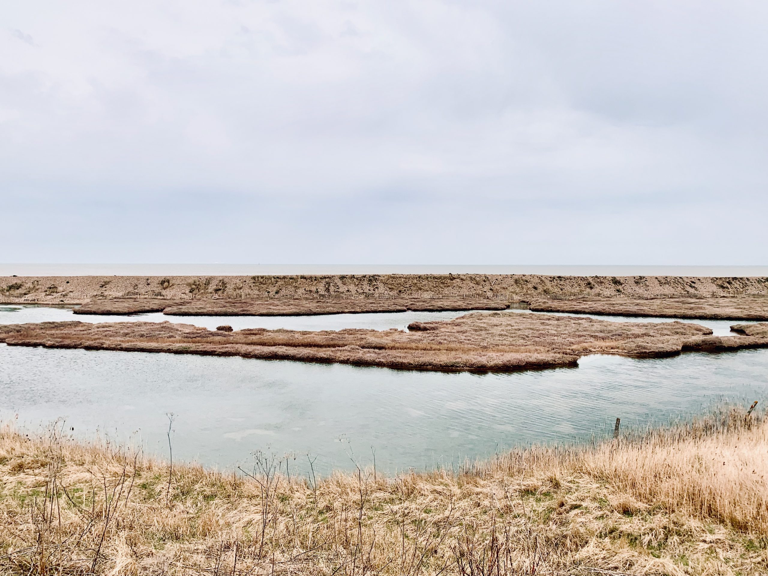
NO. 09 FAVERSHAM TO WHISTABLE (9mi)
No. 9 FAVERSHAM TO WHITSTABLE
Distance: 9 Miles / 14km
Duration: 3-4hrs
Elevation Gain: 75ft
Coastal: 65%
Forest: 0%
ABOUT
This walk goes from Faversham to Whitstable.
It winds along the River Swale to the sea, then follows the coast to Whitstable. The route offers far-reaching sea views for much of the walk.
It takes 3-4 hours and is mostly flat.
RATING
Panoramic Views ★★★☆☆
Distance ★★★☆☆
Climbing ★★☆☆☆
Variation ★★★☆☆
Forest ☆☆☆☆☆
Coast ★★★★★
ROUTE PREVIEW
View Route in Google Maps
Download .gpx file for Komoot or Strava
TRANSPORT
Route to Faversham
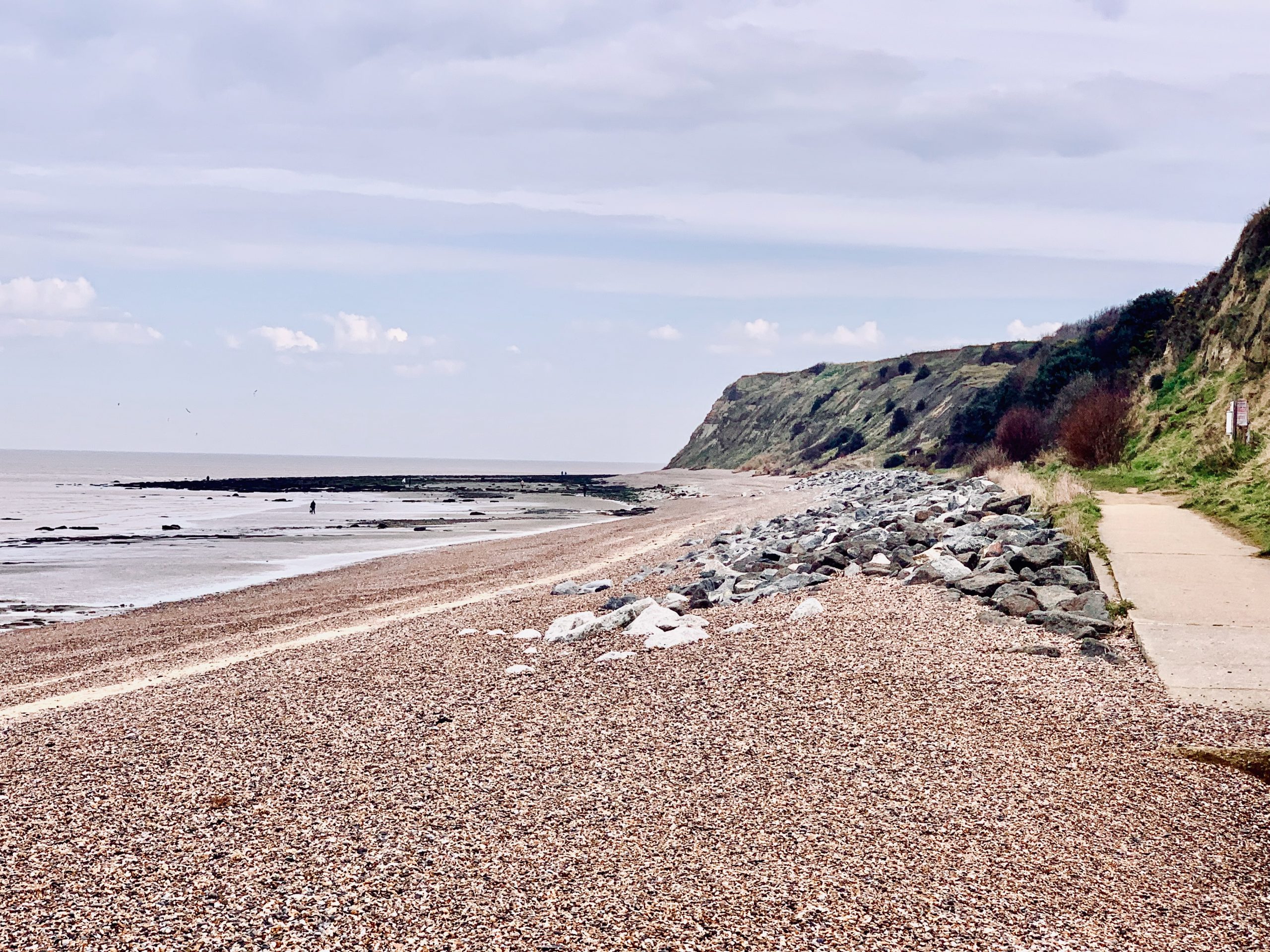
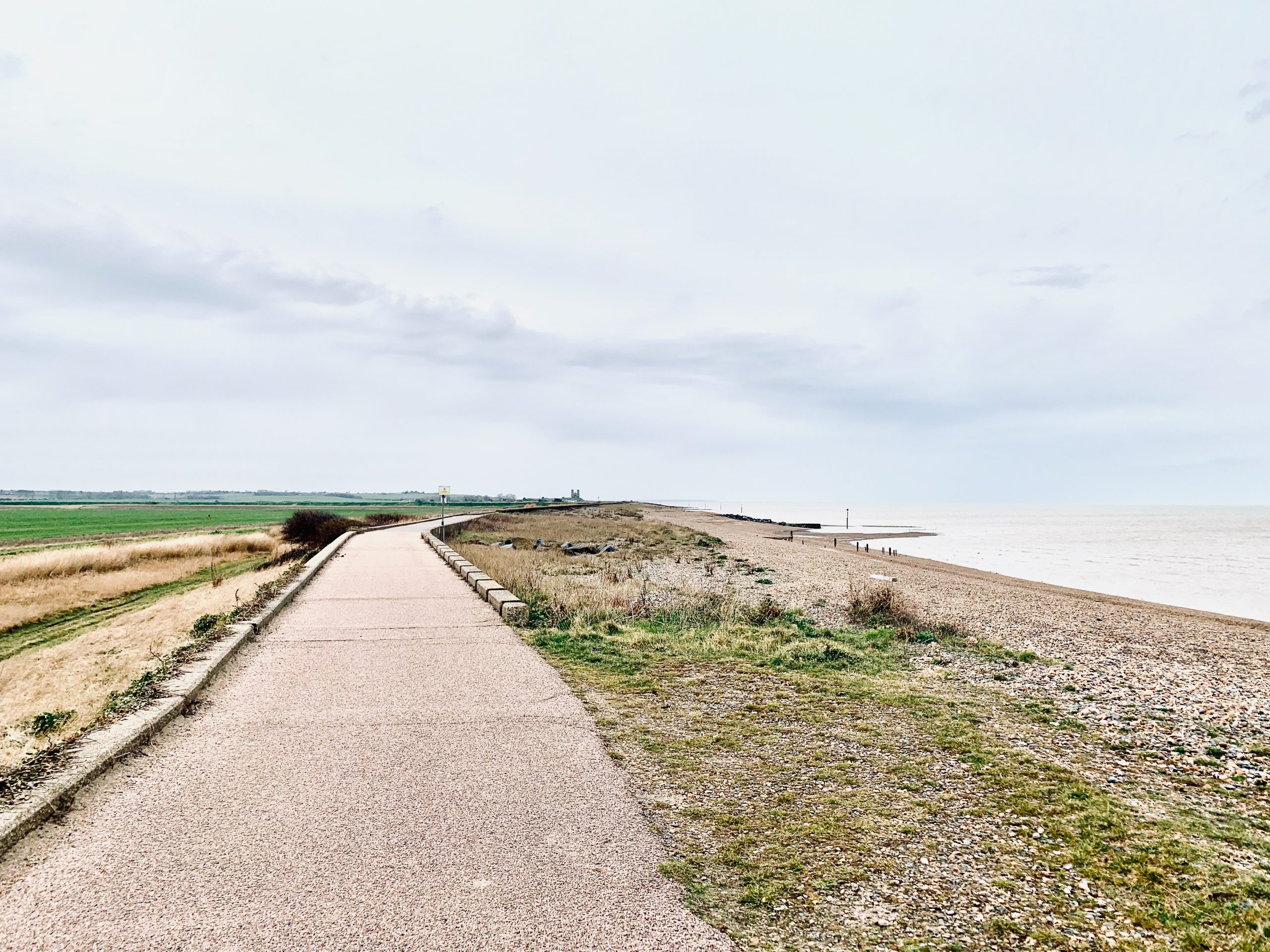
NO. 10 HERNE BAY TO BIRCHINGTON-ON-SEA (9mi)
No. 10 HERNE BAY TO BIRCHINGTON-ON-SEA
Distance: 9 Miles / 14km
Duration: 3-4hrs
Elevation Gain: 175ft
Coastal: 90%
Forest: 0%
ABOUT
Walk from Herne Bay to Birchington-on-Sea along the Kent coast. The route covers 9 miles (14 km) and takes 3-4 hours to complete. The path is 90% coastal, offering continuous sea views, and has no woodland sections. It is relatively flat, with only 175 ft ascent and 150 ft descent, making it an easy coastal trek.
The journey begins with a train from London Victoria to Herne Bay (approx. 1 hour 30 minutes). For the return, catch a train from Birchington-on-Sea back to London Victoria. Buy return tickets to Birchington-on-Sea.
This walk is ideal for those seeking uninterrupted coastal scenery. The well-maintained paths are suitable for year-round walking, with gentle terrain and sweeping sea views along the entire route.
RATING
Panoramic Views ★★★★☆
Distance ★★★☆☆
Climbing ★★★☆☆
Variation ★★★☆☆
Forest ☆☆☆☆☆
Coast ★★★★★
ROUTE PREVIEW
View Route in Google Maps
Download .gpx file for Komoot or Strava
TRANSPORT
Route to Herne Bay
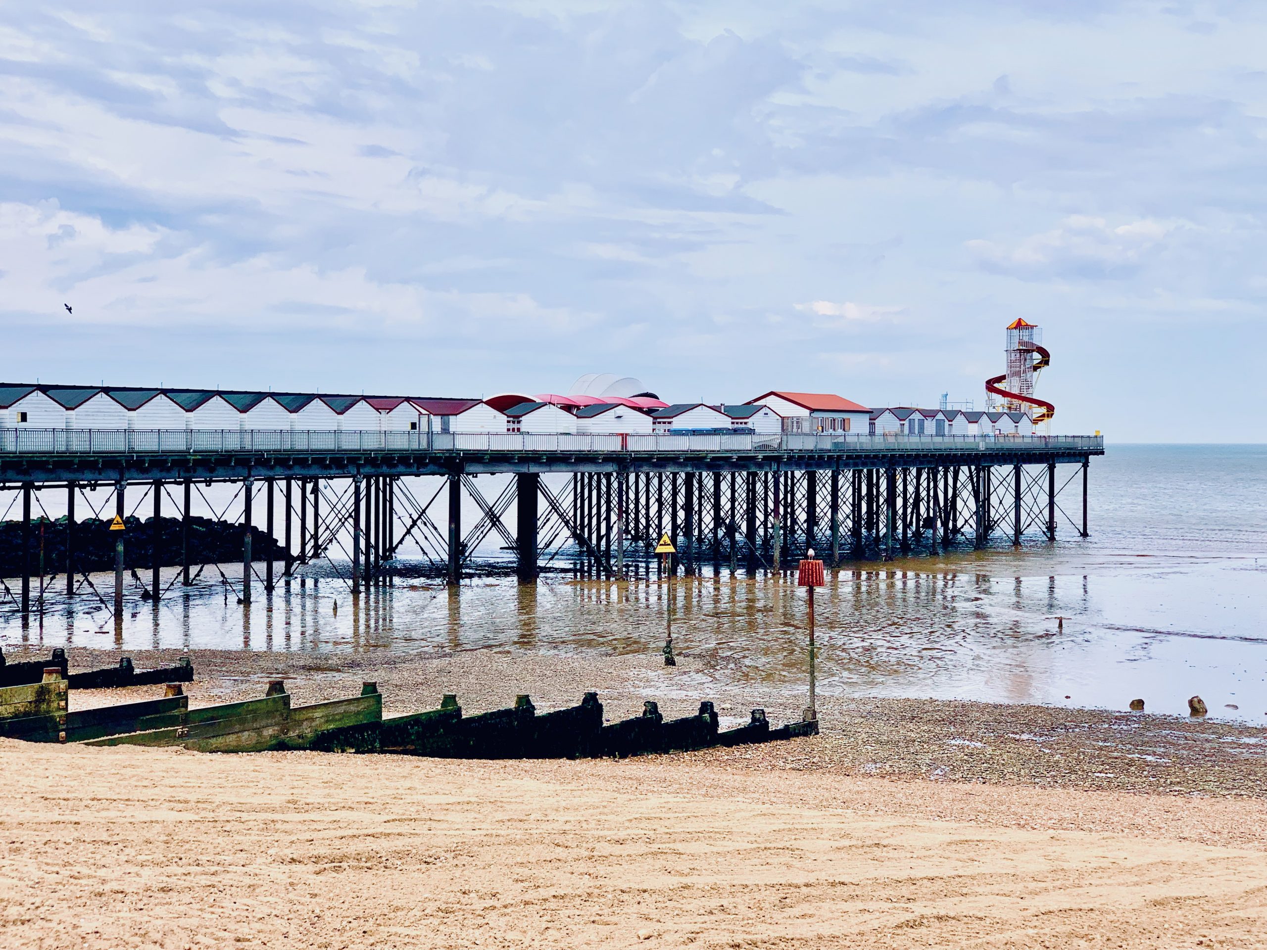
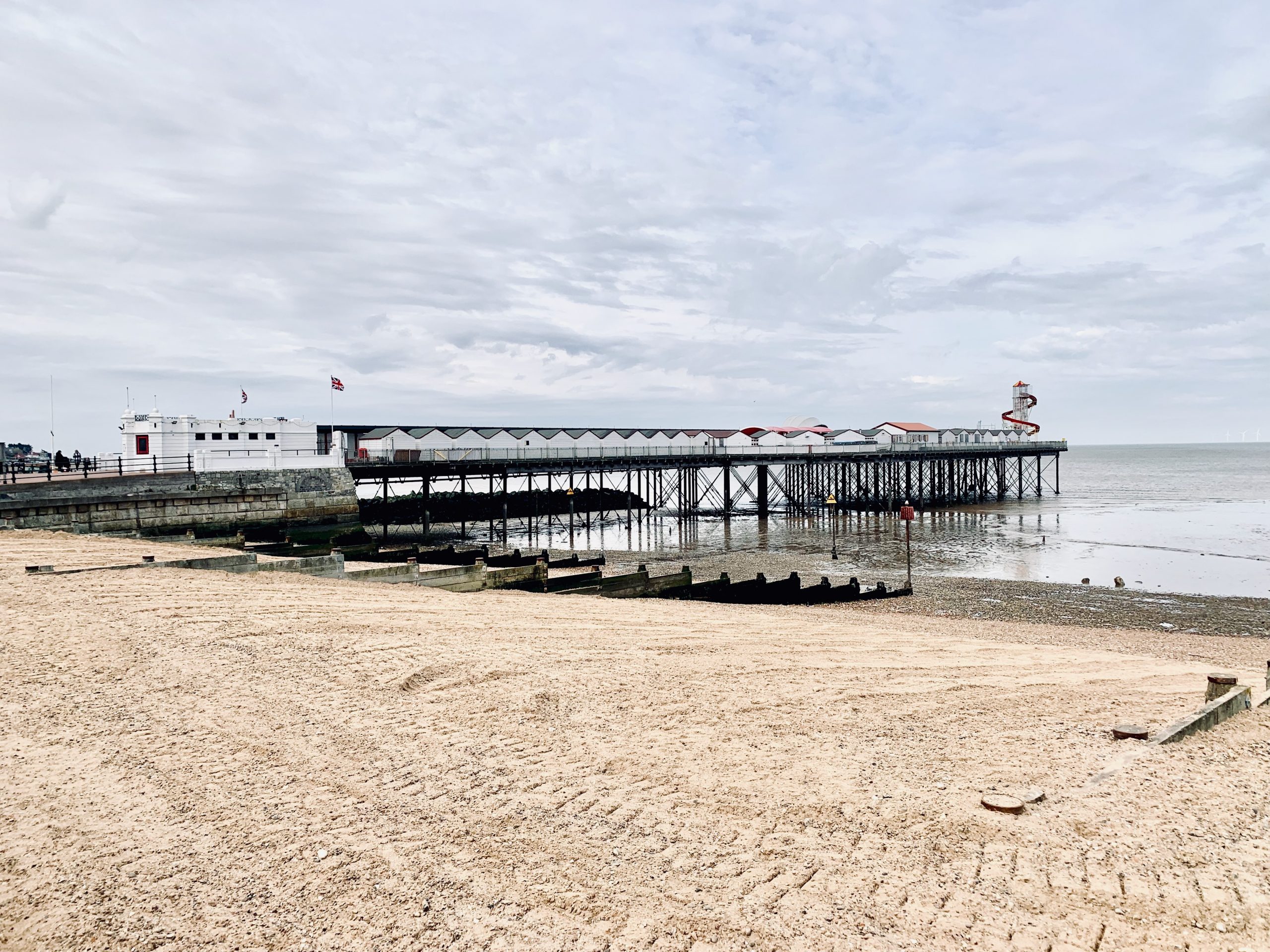
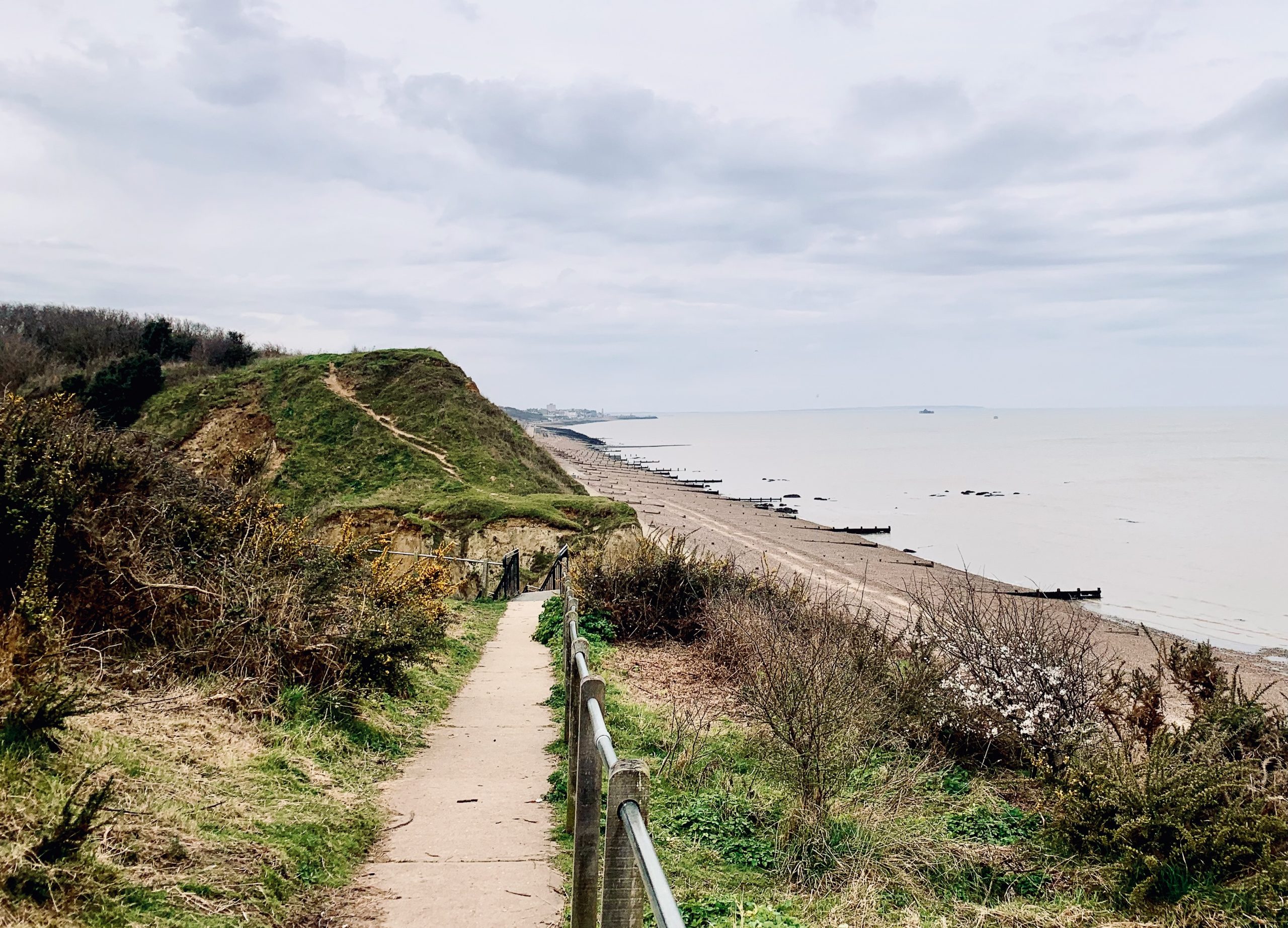
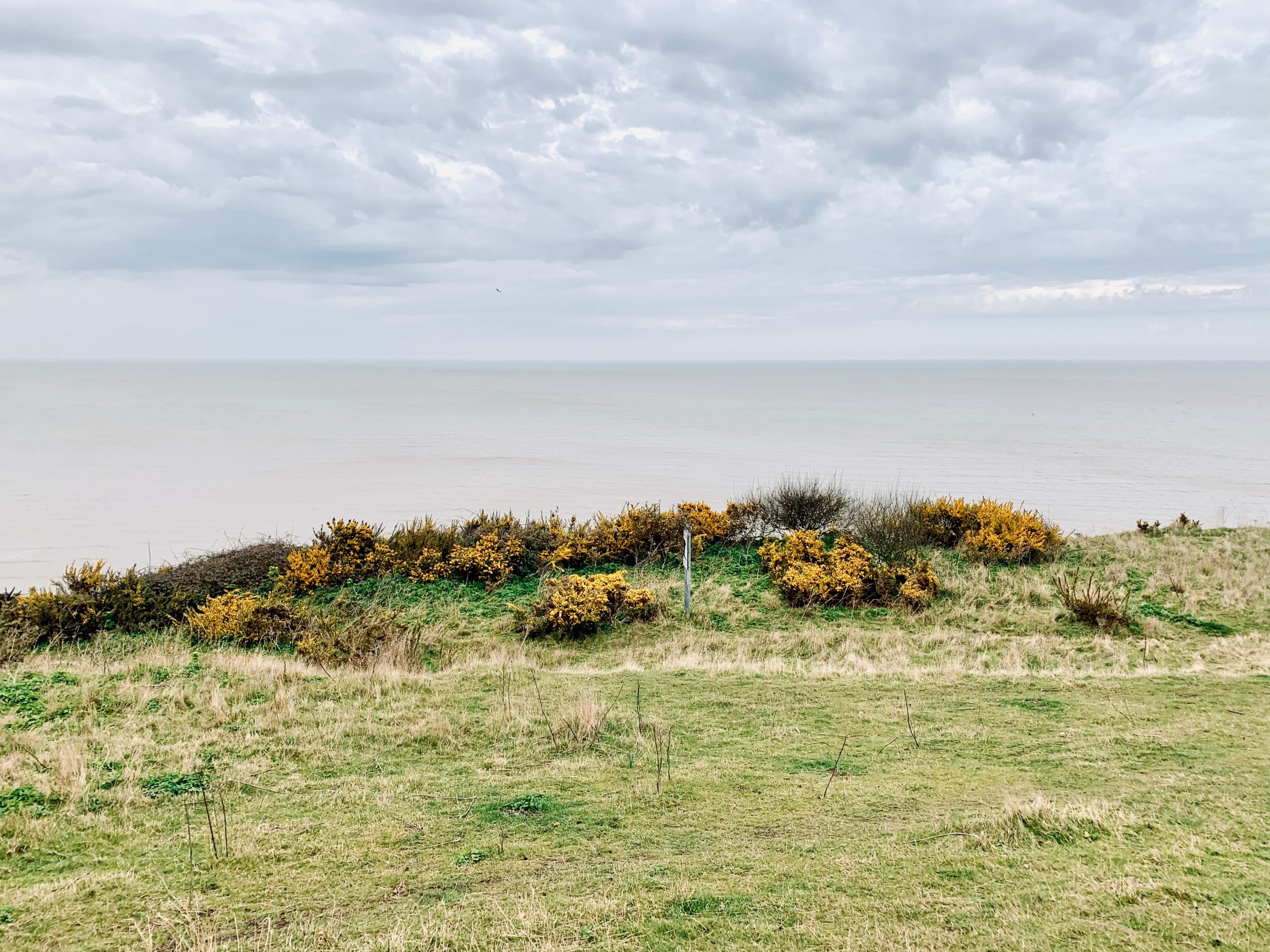
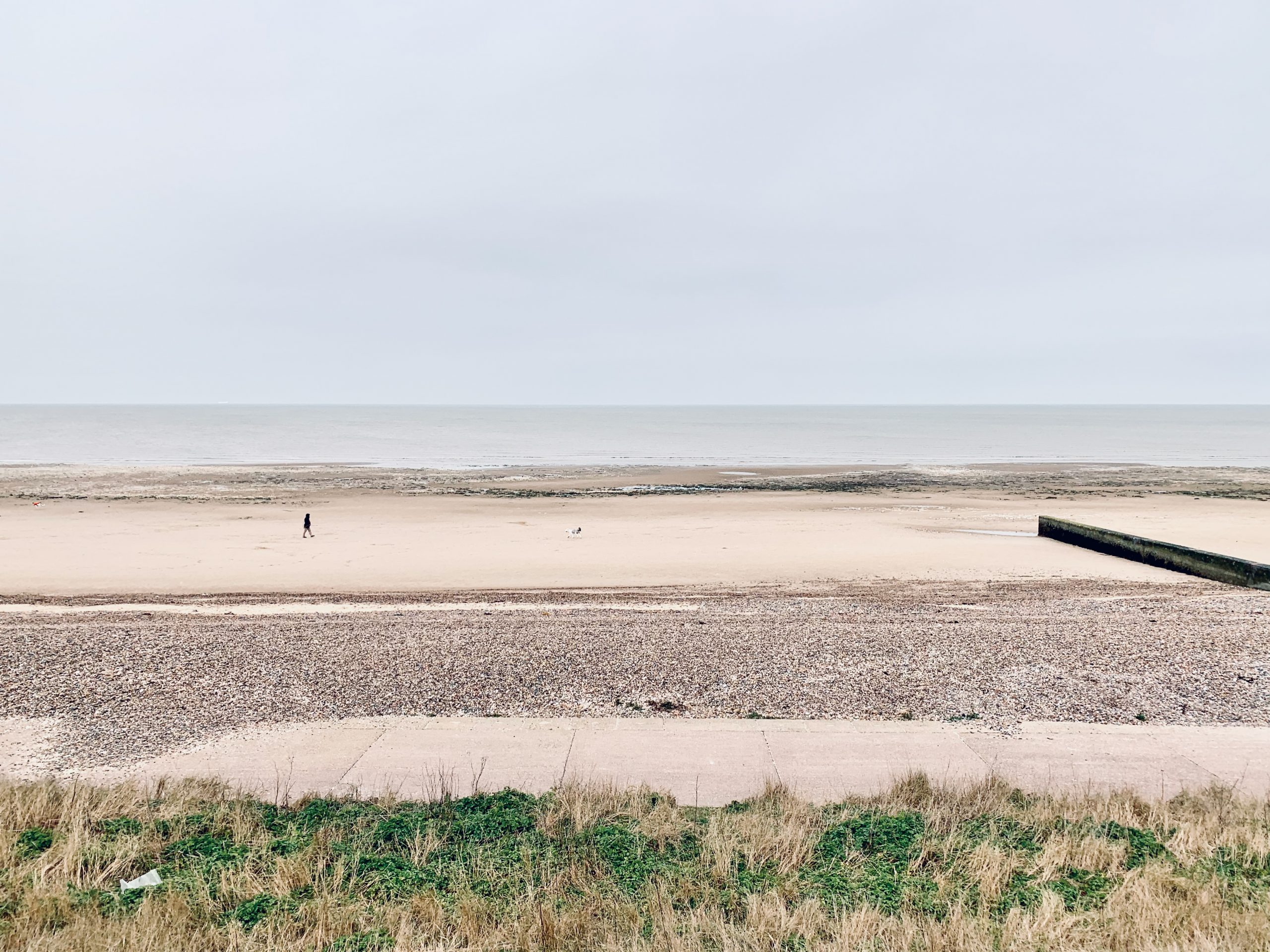
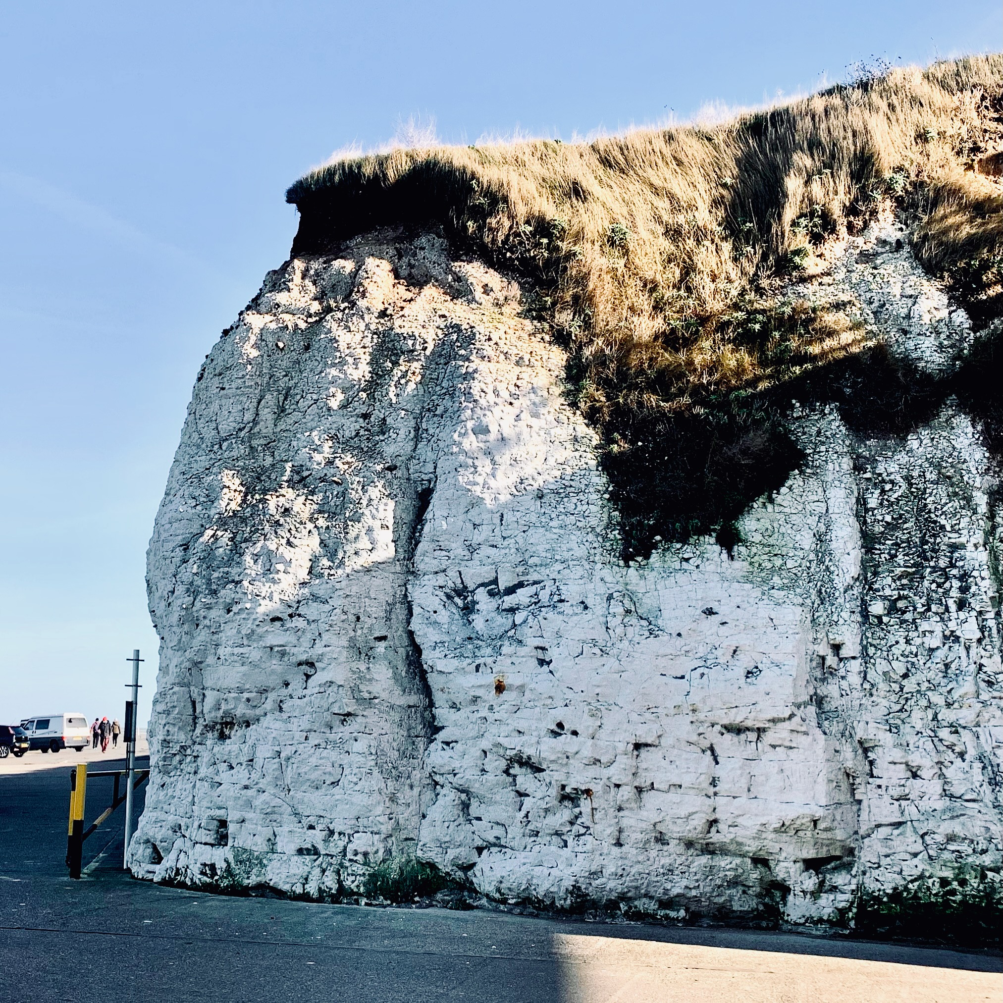
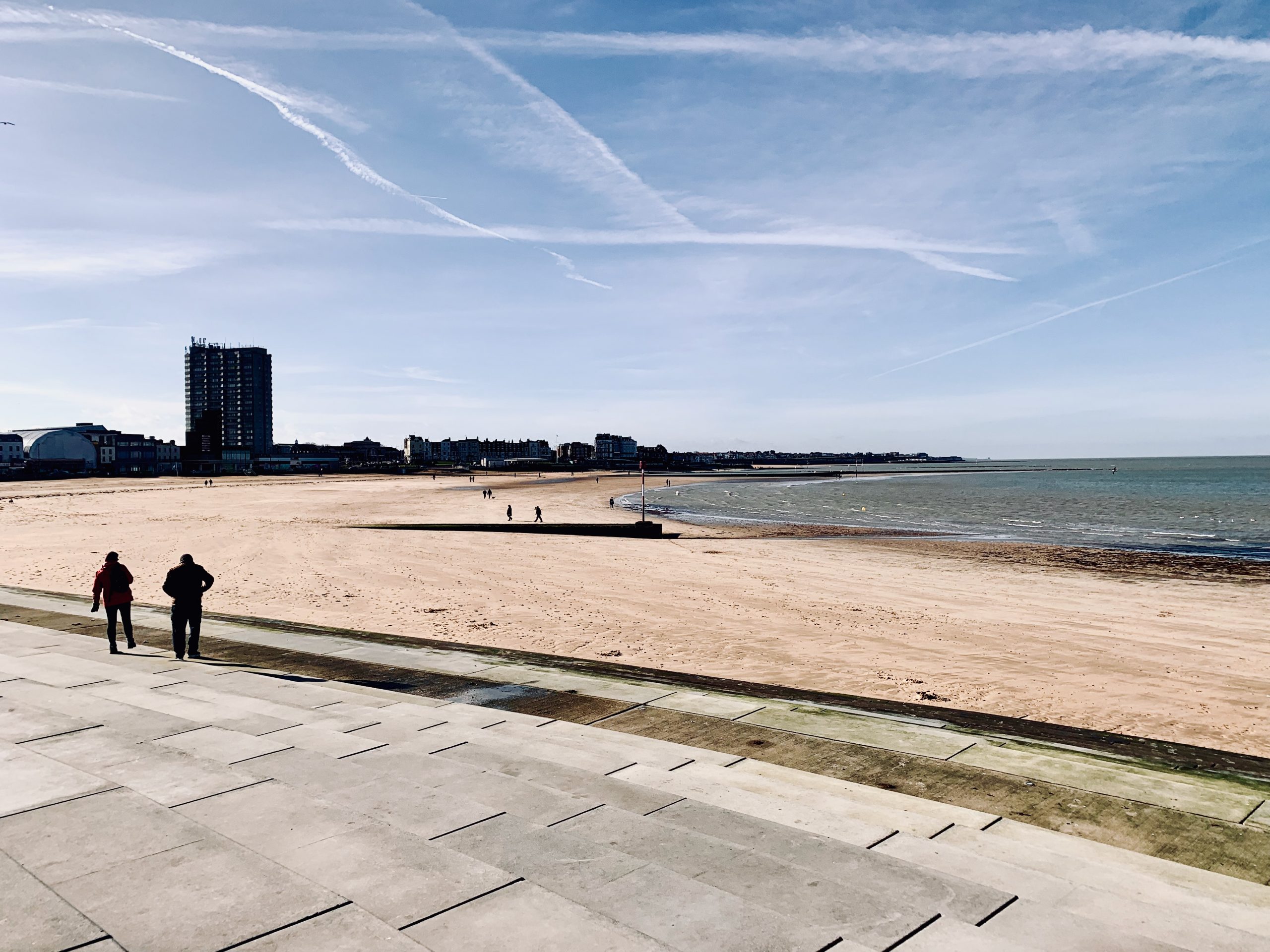
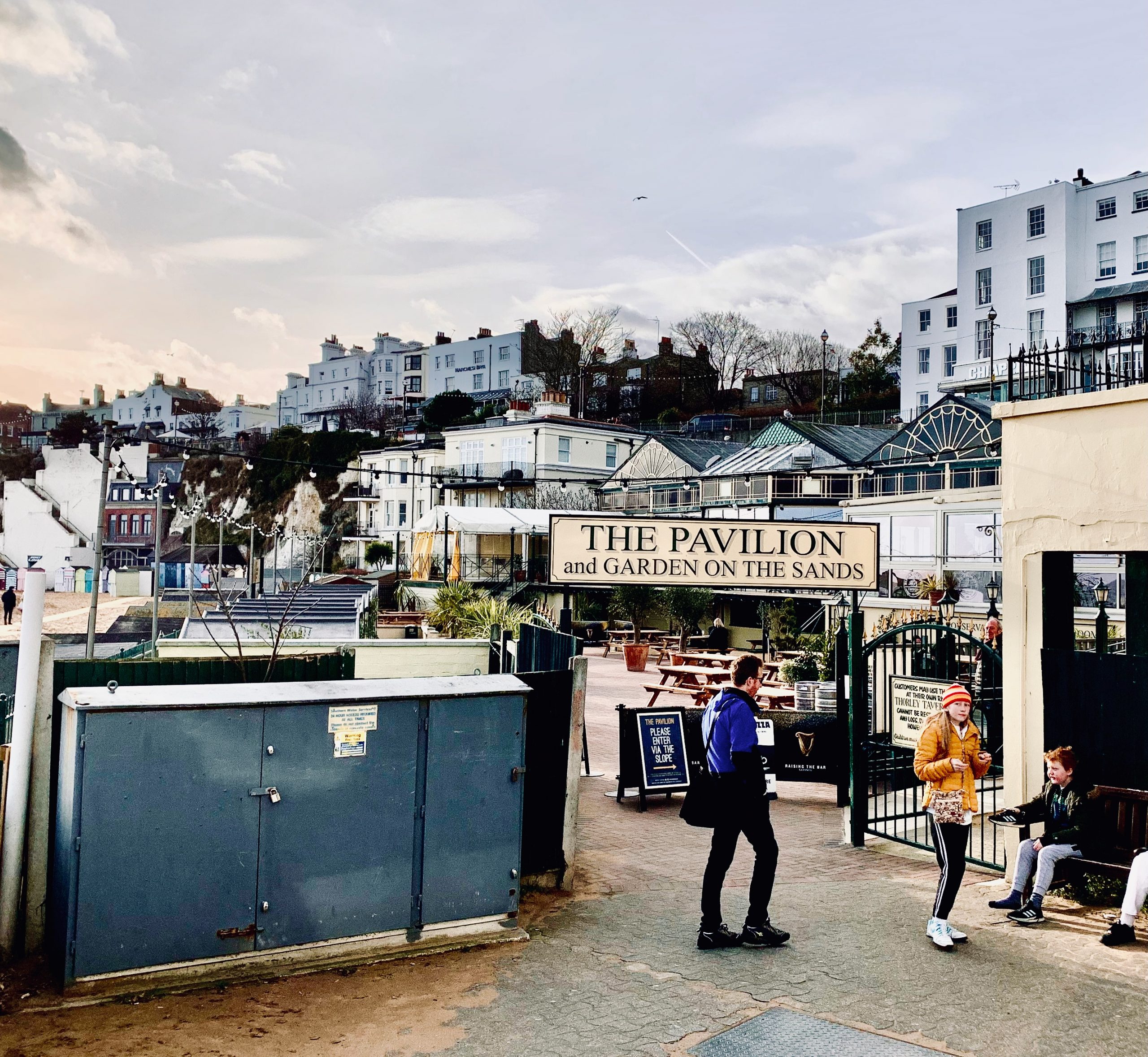
NO. 11 MARGATE TO BROADSTAIRS (7mi)
No. 11 MARGATE TO BROADSTAIRS
Distance: 7 Miles / 11km
Duration: 2-3hrs
Elevation Gain: 350ft
Coastal: 95%
Forest: 0%
ABOUT
Walk from Margate to Broadstairs along the stunning Thanet coastline. This 7-mile (11 km) route takes 2-3 hours to complete. The path is 95% coastal, providing near-constant sea views, with no woodland sections. It features 350 ft of ascent and 250 ft of descent, making it a relatively easy stroll with a few gentle climbs.
The journey starts with a train from London St Pancras International to Margate (approx. 1 hour 30 minutes). For the return, take the train from Broadstairs back to London St Pancras International. Buy return tickets to Broadstairs.
This walk showcases the best of the Kent coast, with dramatic chalk cliffs, sandy beaches, and picturesque seaside towns. The route is suitable for all seasons, offering spectacular seascapes and a relaxed walking experience along well-trodden paths.
RATING
Panoramic Views ★★★★☆
Distance ★★★☆☆
Climbing ★★★☆☆
Variation ★★★☆☆
Forest ☆☆☆☆☆
Coast ★★★★★
ROUTE PREVIEW
View Route in Google Maps
Download .gpx file for Komoot or Strava
TRANSPORT
Route to Margate
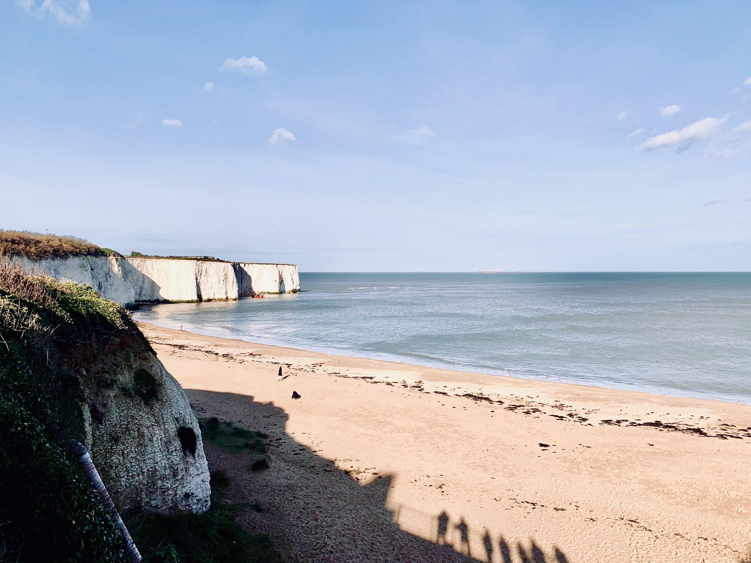
NO. 12 BROADSTAIRS TO SANDWICH (11mi)
No. 12 BROADSTAIRS TO SANDWICH
Distance: 11 Miles / 18km
Duration: 4-5hrs
Elevation Gain: 150ft
Coastal: 55%
Forest: 0%
ABOUT
Walk from Broadstairs to Sandwich along the scenic Kent coastline. This 11-mile (18 km) route takes 4-5 hours to complete. The terrain is 55% coastal, offering beautiful sea views for much of the walk, with no woodland sections. The walk includes 150 ft of ascent and 275 ft of descent, making it a generally easy trek with gentle elevation changes.
Start your journey by taking a train from London St Pancras International to Broadstairs (approx. 1 hour 21 minutes). For the return, catch a train from Sandwich back to London St Pancras International. Buy return tickets to Sandwich.
This route highlights the diverse coastal landscapes of the area, featuring sweeping views of the English Channel, grassy cliff tops, and quiet coastal paths. It’s perfect for those looking to explore Kent’s coastline, with ample opportunities to enjoy the sea air and open vistas. Suitable for year-round walking.
RATING
Panoramic Views ★★★☆☆
Distance ★★★★☆
Climbing ★★★☆☆
Variation ★★★★☆
Forest ☆☆☆☆☆
Coast ★★★★☆
ROUTE PREVIEW
View Route in Google Maps
Download .gpx file for Komoot or Strava
TRANSPORT
Route to Broadstairs
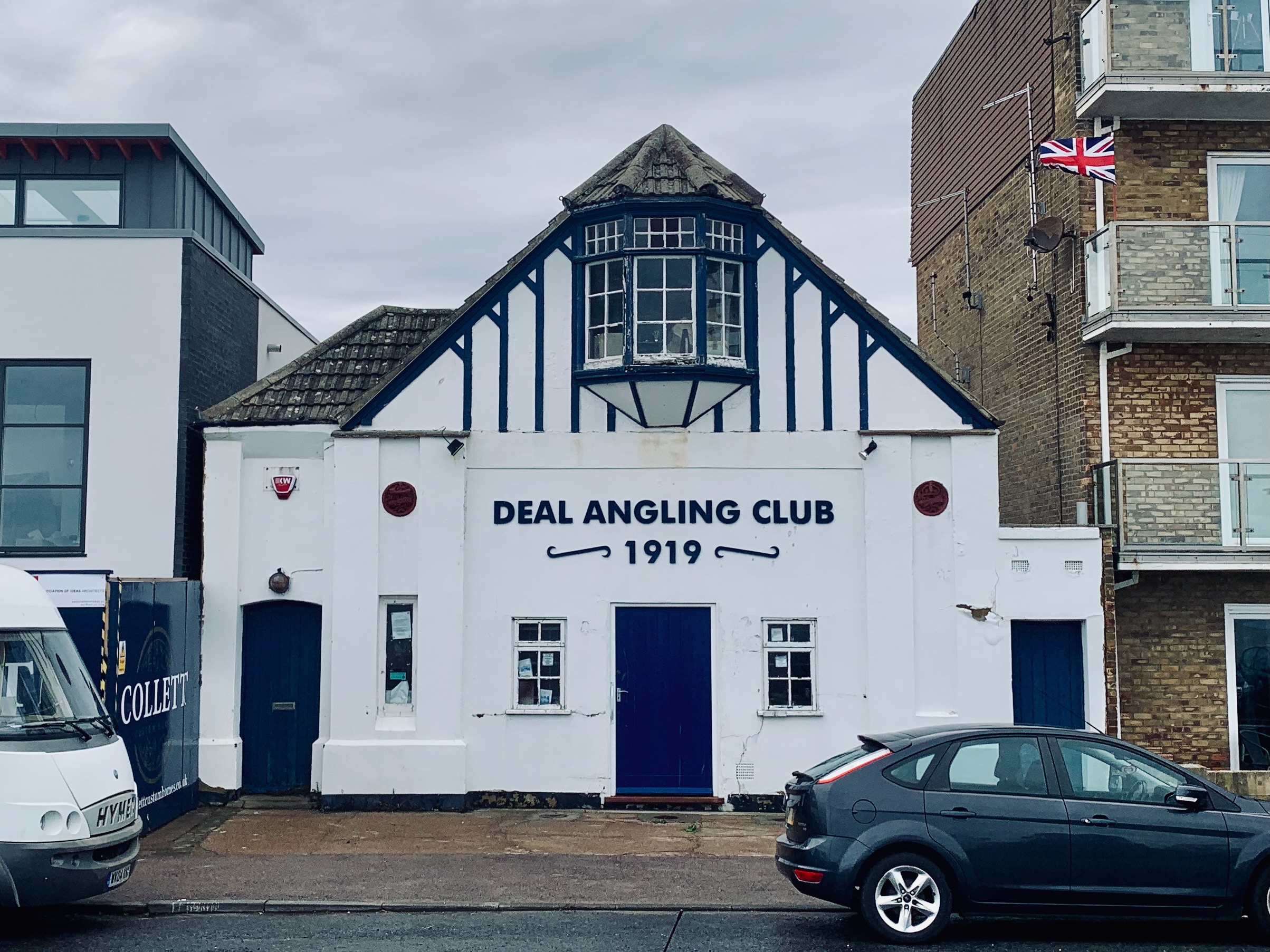
NO. 13. DEAL TO SANDWICH 10mi)
No. 13 DEAL TO SANDWICH
Distance: 10 Miles / 16km
Duration: 3-4hrs
Elevation Gain: 50ft
Coastal: 65%
Forest: 0%
ABOUT
Walk from Deal to Sandwich along the picturesque Kent coastline. This 10-mile (16 km) route takes 3-4 hours to complete. The path is 65% coastal, providing extensive sea views, with no wooded areas. The elevation is minimal, featuring only 50 ft of ascent and 75 ft of descent, making it an easy, flat walk.
Start your journey by taking a train from London St Pancras International to Deal (approx. 1 hour 24 minutes). For the return, catch a train from Sandwich back to London St Pancras International. Buy return tickets to Sandwich.
This walk is ideal for those seeking a relaxed coastal experience, with views of the English Channel and a variety of coastal features along the way. The well-maintained paths ensure a comfortable walk suitable for all seasons, offering fresh sea air and peaceful surroundings throughout the route.
RATING
Panoramic Views ★★★★☆
Distance ★★★☆☆
Climbing ★★☆☆☆
Variation ★★★☆☆
Forest ☆☆☆☆☆
Coast ★★★★☆
ROUTE PREVIEW
View Route in Google Maps
Download .gpx file for Komoot or Strava
TRANSPORT
Route to Deal
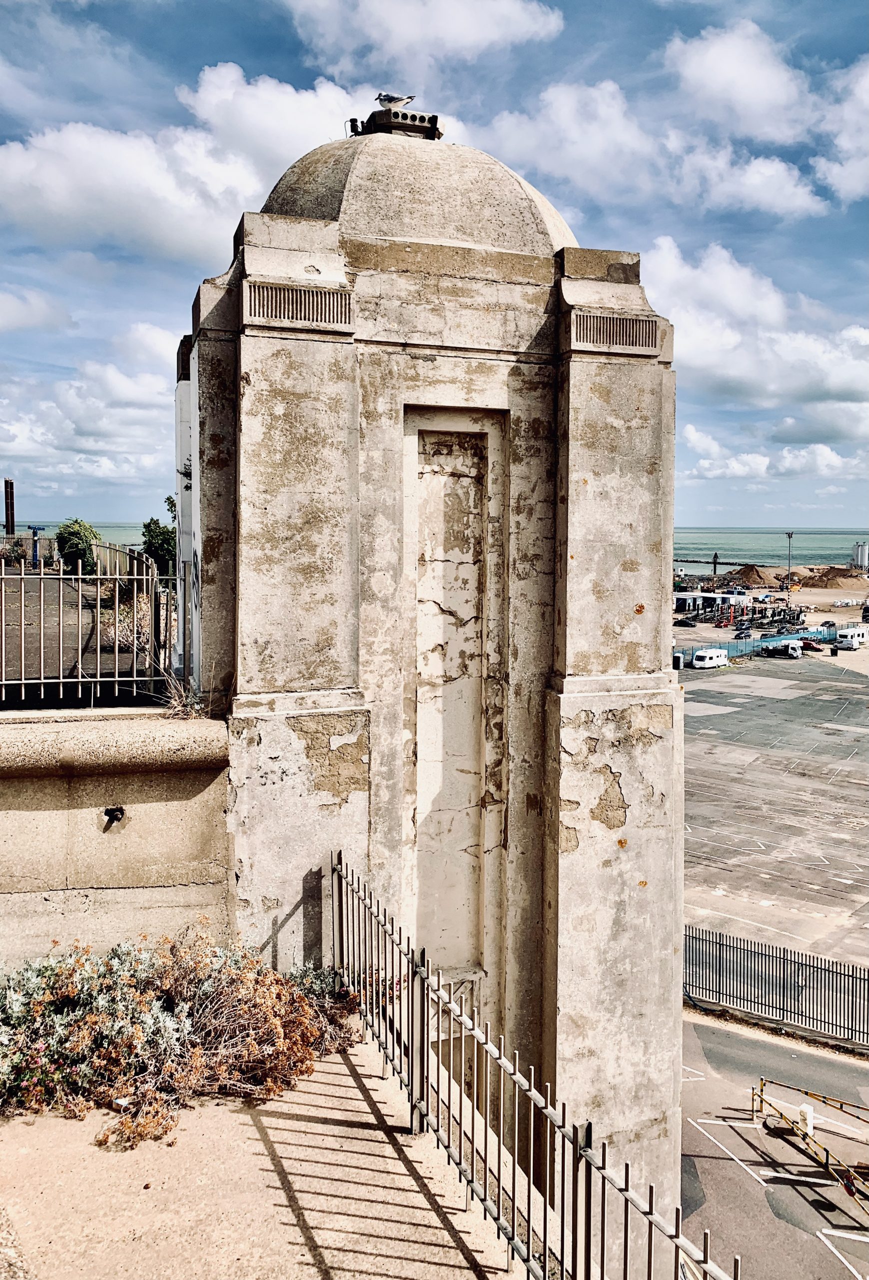
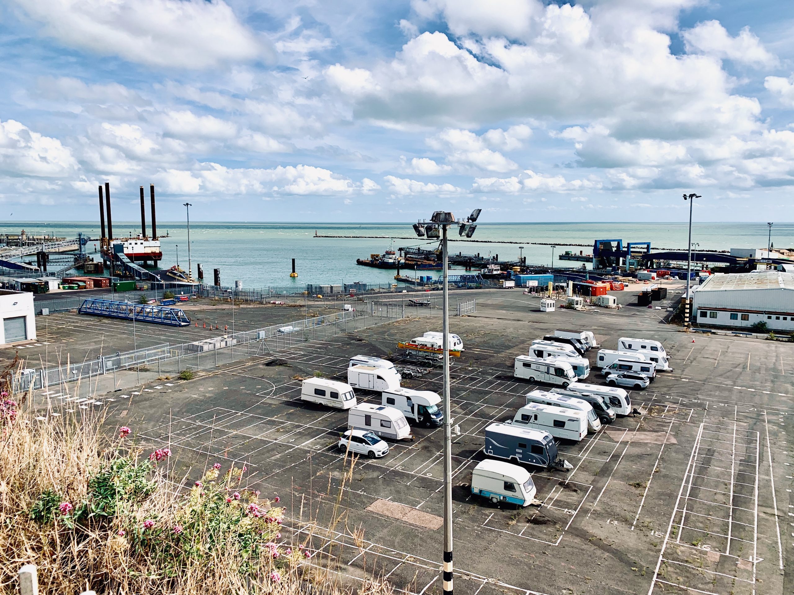
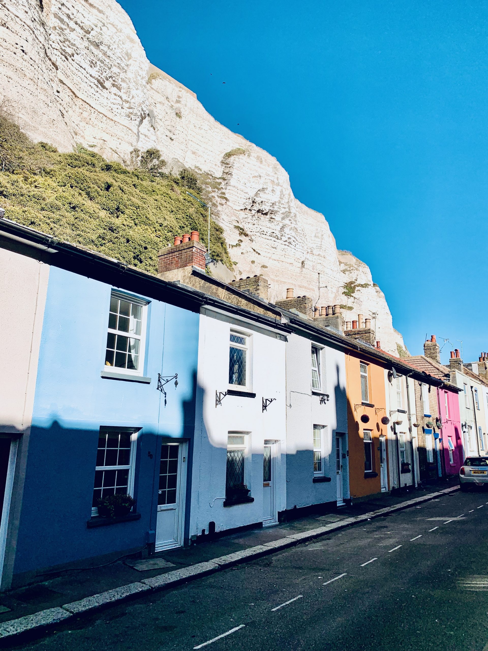
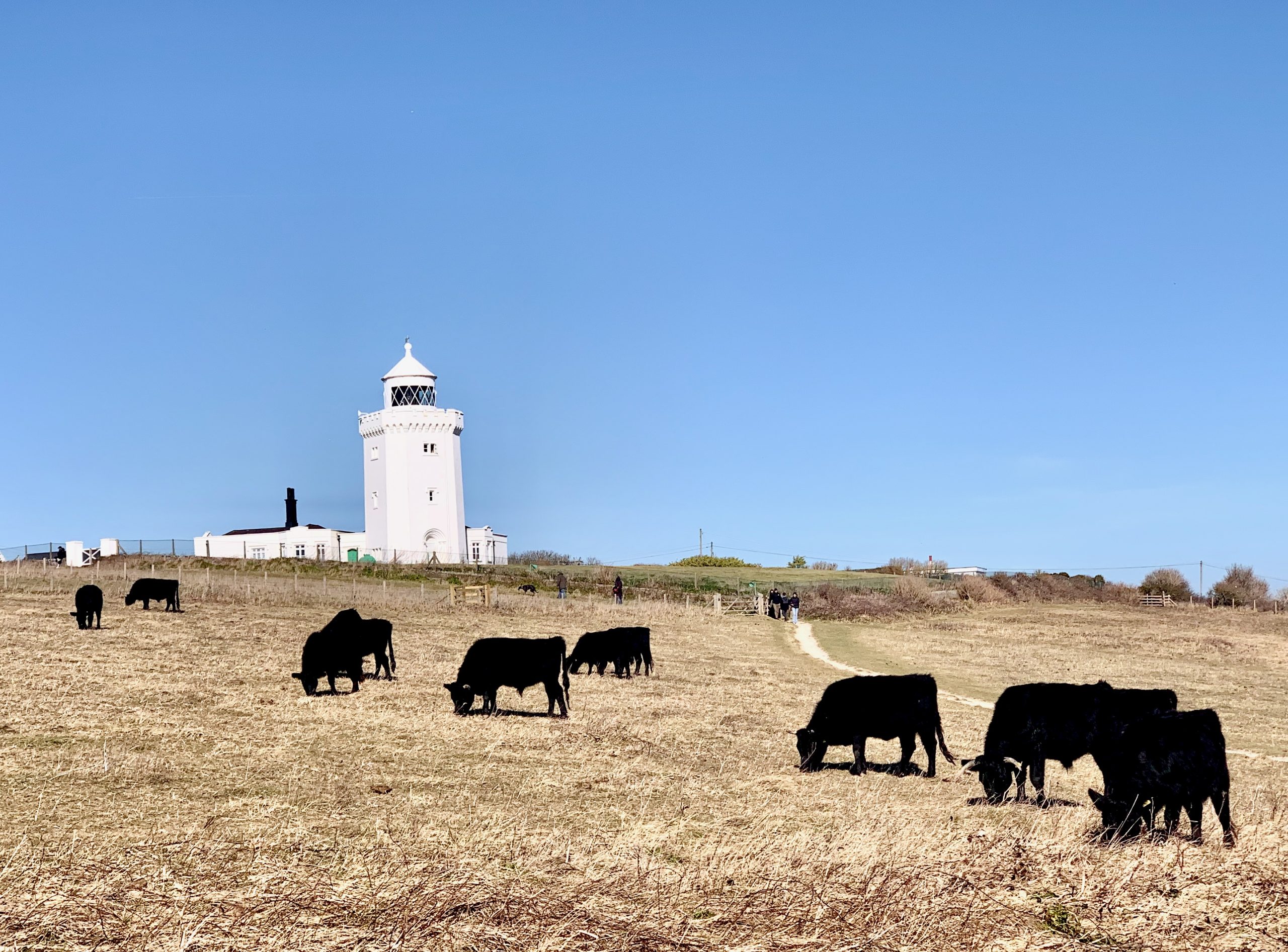
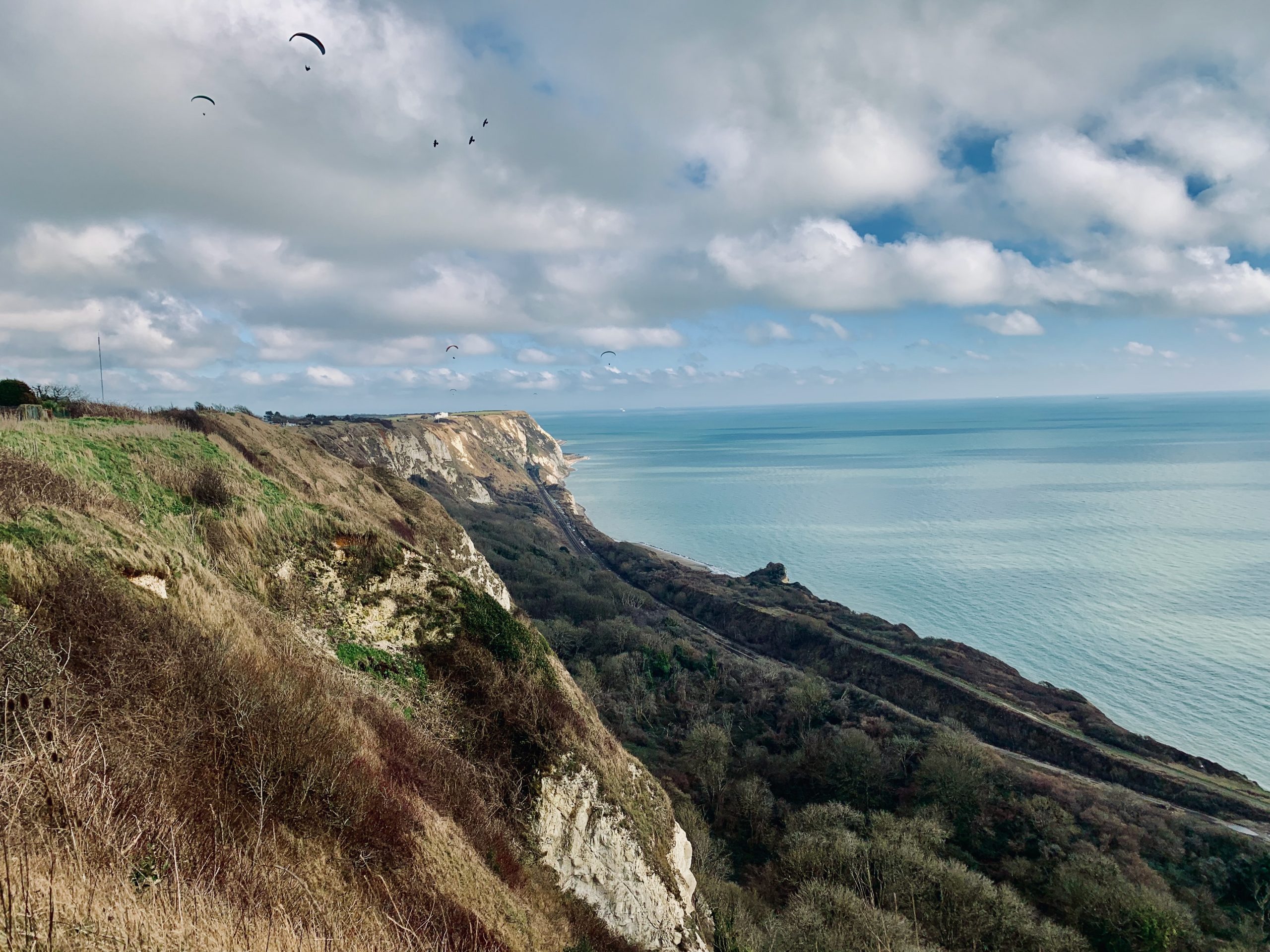
NO. 14 DEAL TO DOVER (6mi)
No. 14 DEAL TO DOVER
Distance: 6 Miles / 10km
Duration: 2-3hrs
Elevation Gain: 670ft
Coastal: 90%
Forest: 0%
ABOUT
Walk from St Margaret’s Bay to Dover along the iconic White Cliffs of Dover. This 6-mile (10 km) route takes 2-3 hours to complete. The path is 90% coastal, offering dramatic sea views and cliff-top paths, with no wooded areas. The walk features 670 ft of ascent and 500 ft of descent, making it a moderately challenging route due to the elevation changes along the cliffs.
Start by taking a train from London St Pancras International to Martin Mill (approx. 1 hour 15 minutes), then transfer to the No. 93 bus to reach St Margaret’s Bay. For the return, take a train from Dover Priory back to London St Pancras International. Buy return tickets to Dover Priory.
This route provides spectacular views of the English Channel and the chance to experience one of England’s most famous coastal walks. The cliff-top paths are well-maintained, but some sections can be exposed and windy. It’s a perfect hike for those seeking breathtaking coastal scenery and an invigorating experience. Suitable for year-round walking.
RATING
Panoramic Views ★★★★★
Distance ★★★☆☆
Climbing ★★★☆☆
Variation ★★★☆☆
Forest ☆☆☆☆☆
Coast ★★★★★
ROUTE PREVIEW
View Route in Google Maps
Download .gpx file for Komoot or Strava
TRANSPORT
Route to St Margaret’s Bay
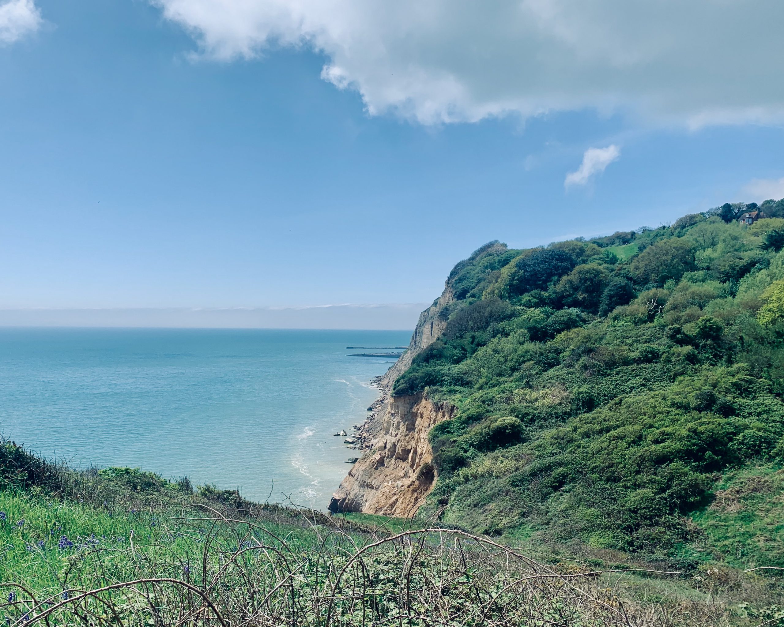
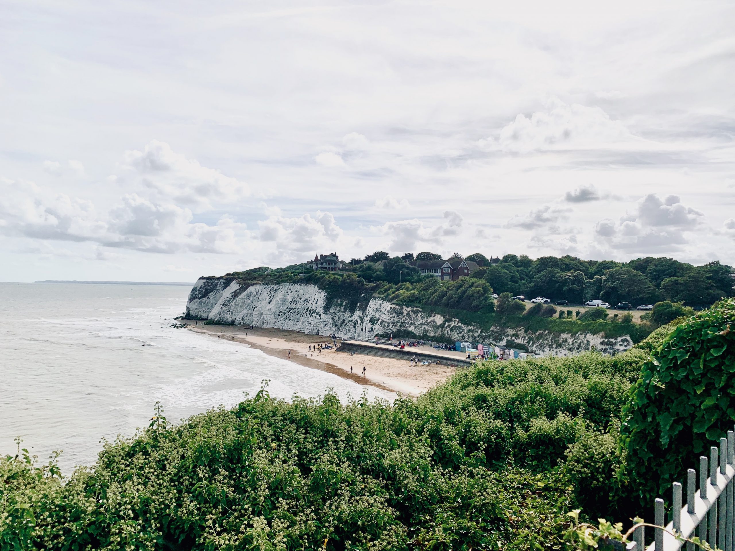
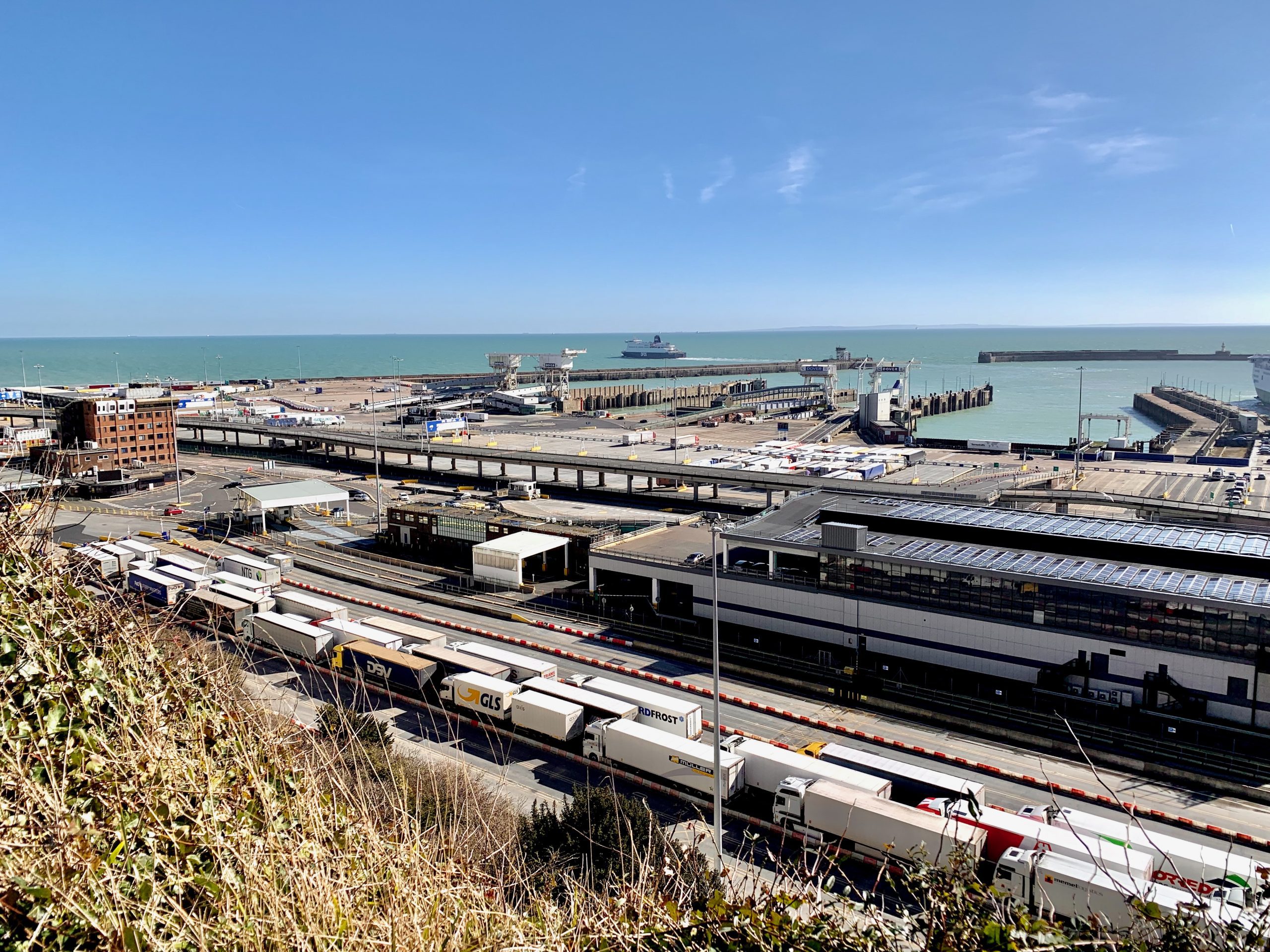
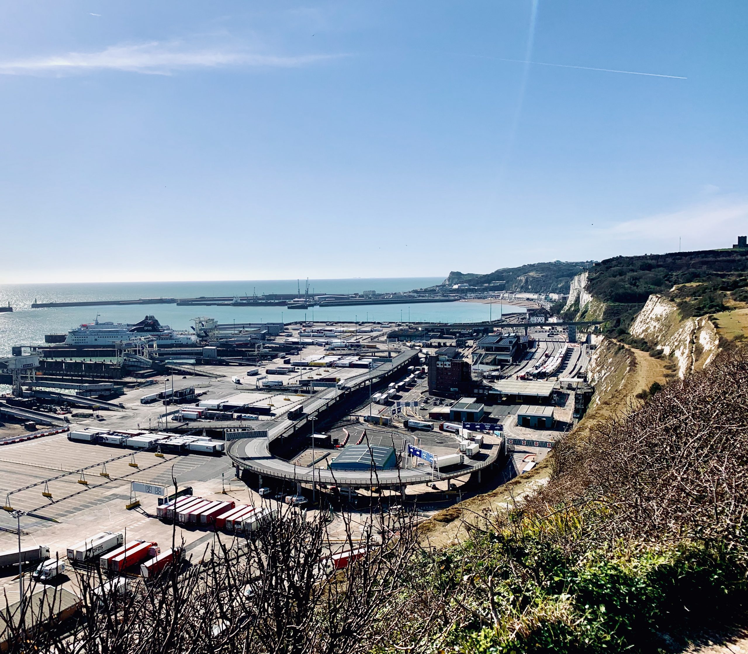
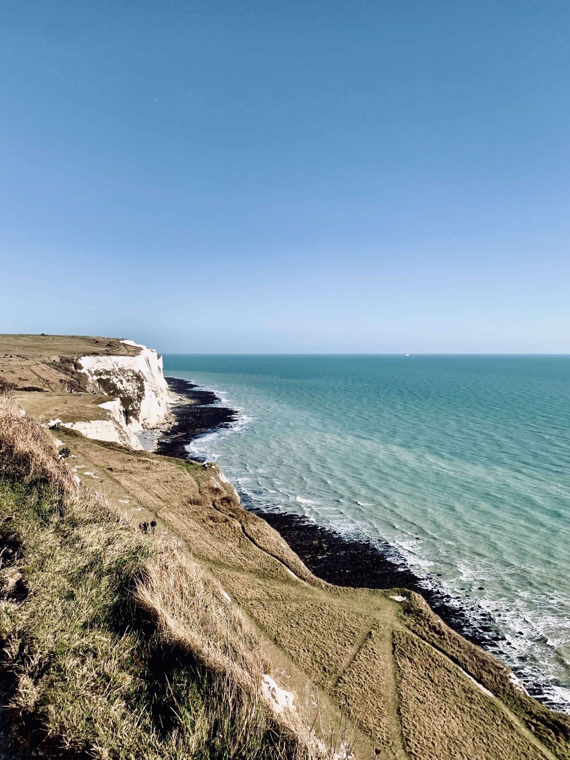
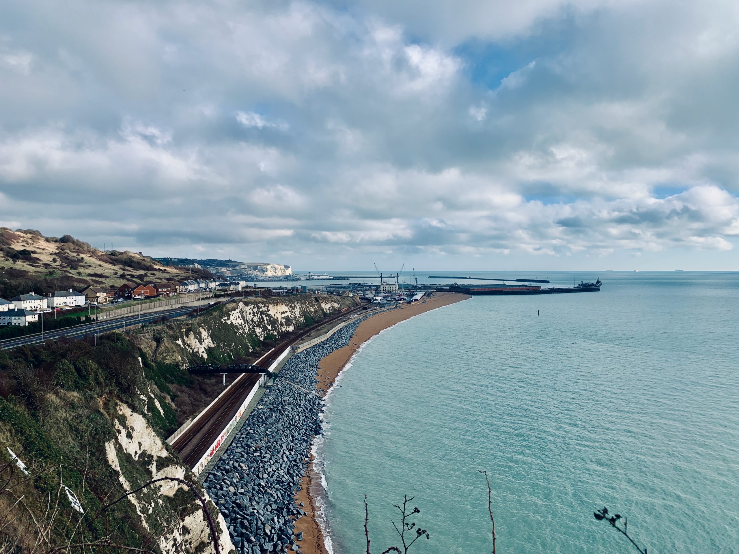
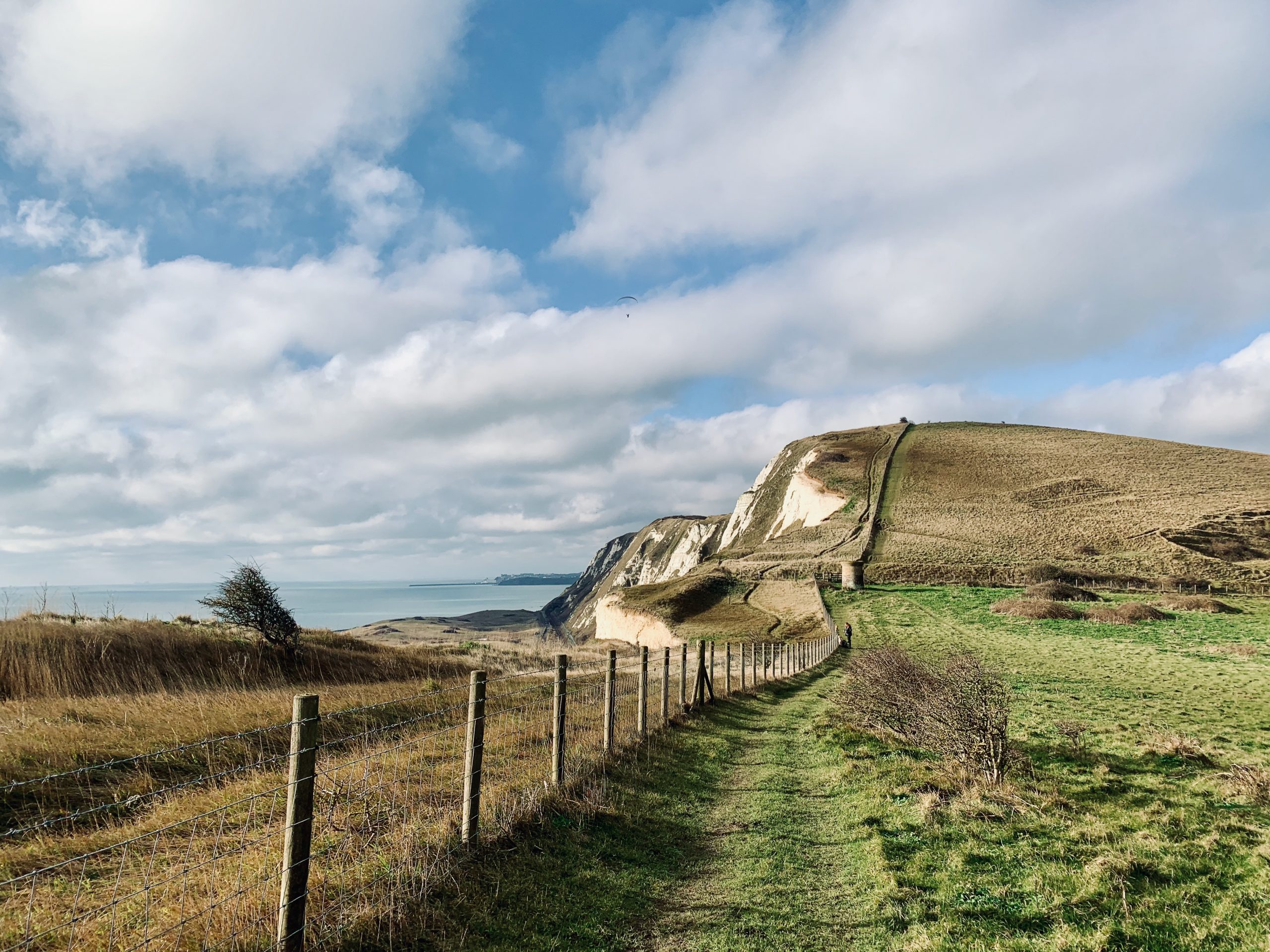
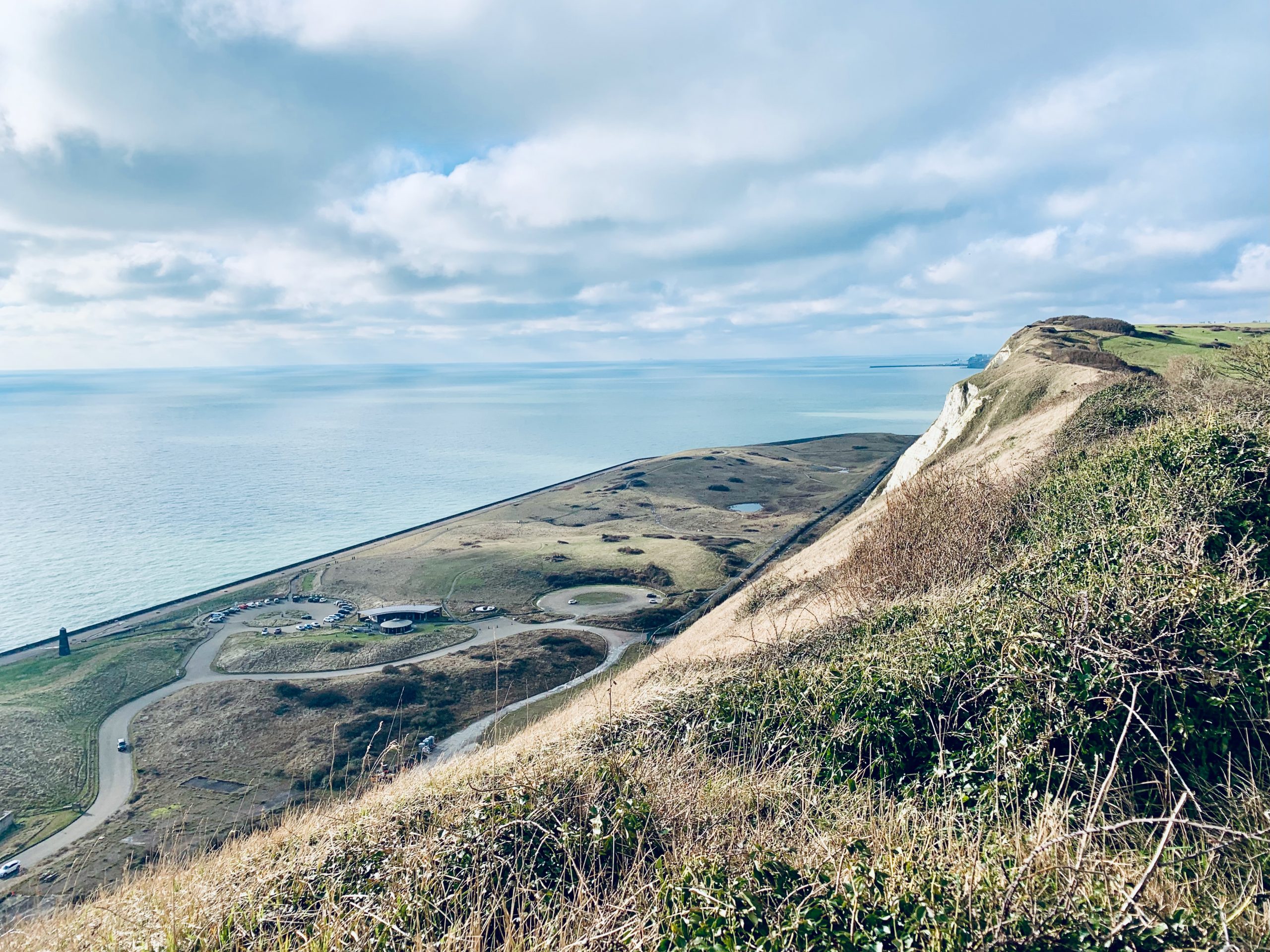
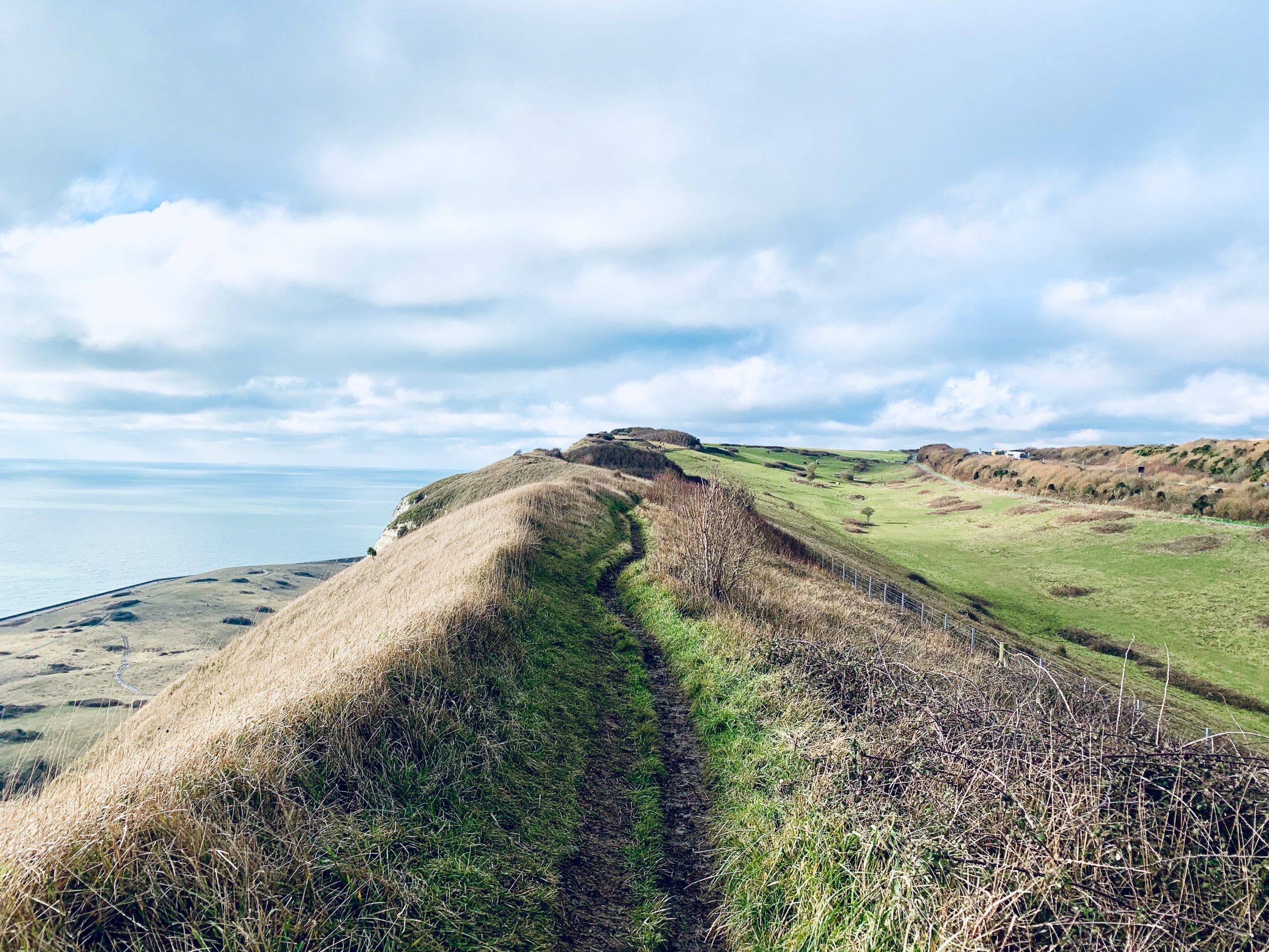
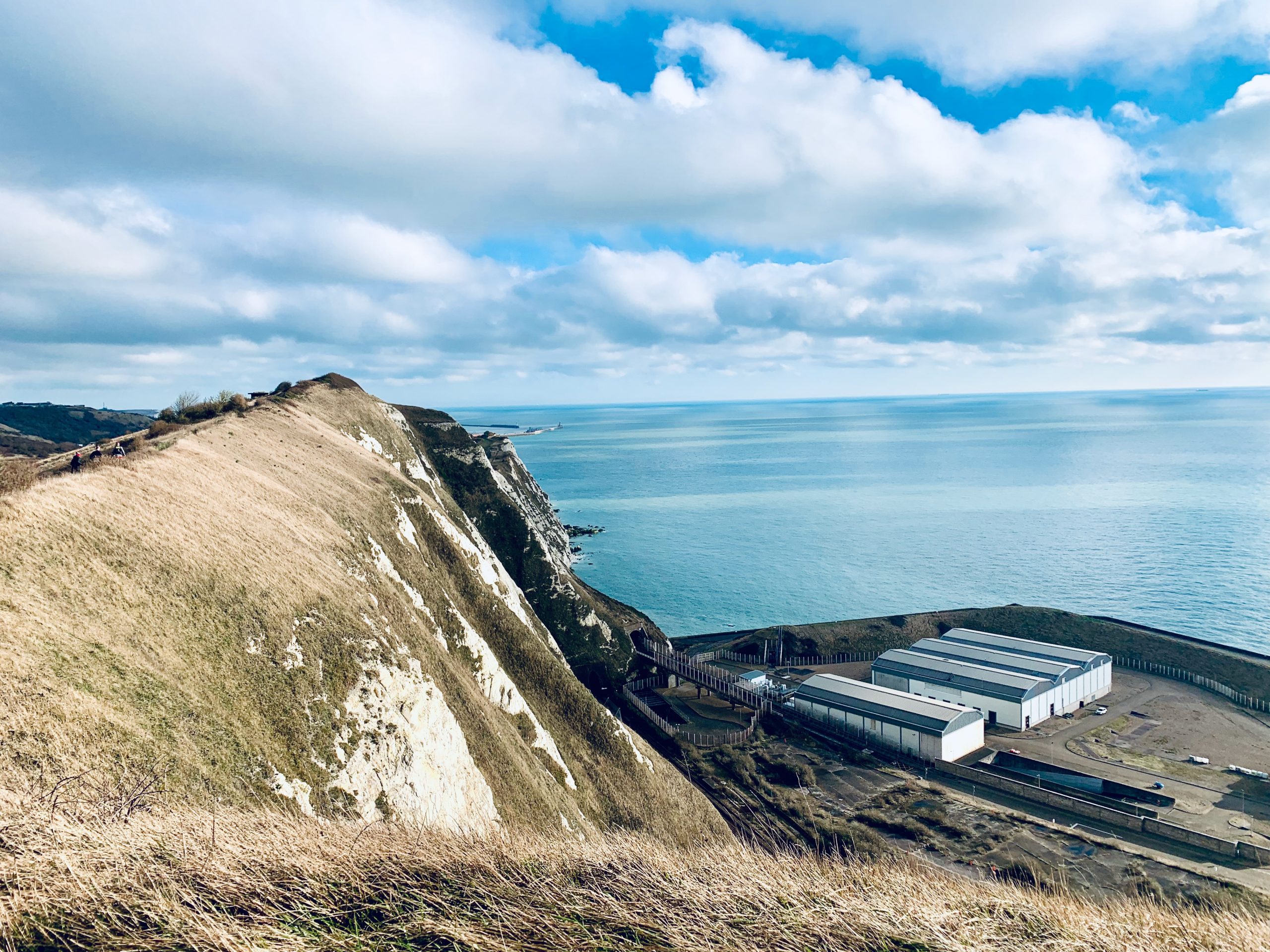
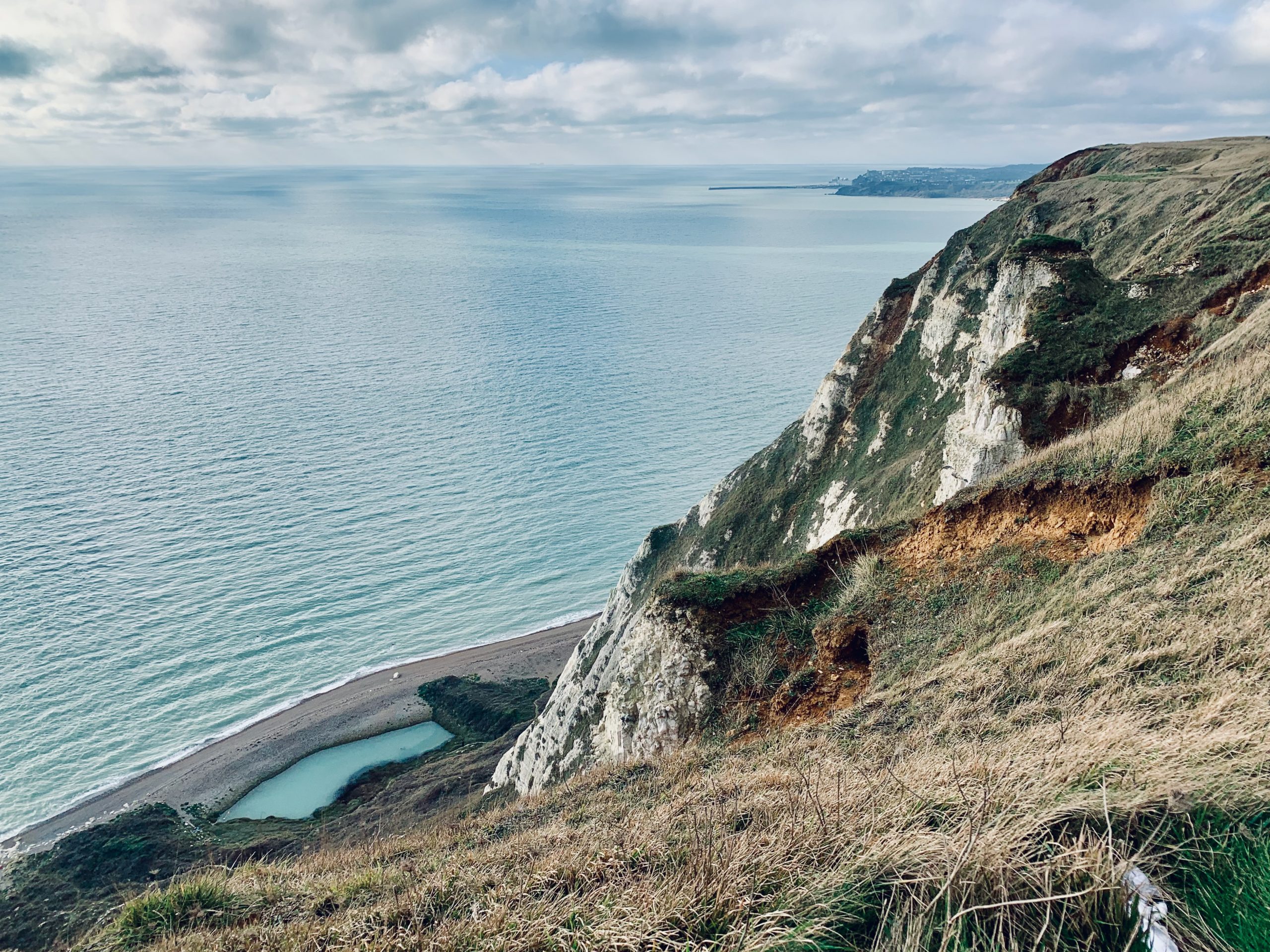
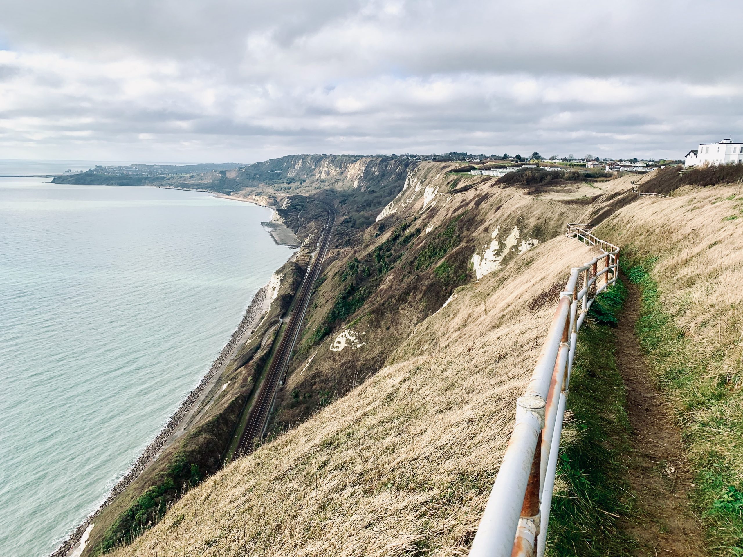
NO. 15 DOVER TO FOLKESTONE (10mi)
No. 15 DOVER TO FOLKESTONE
Distance: 10 Miles / 16km
Duration: 3-4hrs
Elevation Gain: 750ft
Coastal: 95%
Forest: 0%
ABOUT
Walk from Dover to Folkestone along the stunning White Cliffs coastline. This 10-mile (16 km) route takes 3-4 hours to complete. The path is 95% coastal, featuring almost continuous sea views along dramatic chalk cliffs, with no woodland sections. The walk involves 750 ft of ascent and 670 ft of descent, making it a moderately challenging route due to the elevation changes and cliff-top terrain.
Start by taking a train from London St Pancras International to Dover Priory (approx. 1 hour 4 minutes). For the return, catch a train from Folkestone Central back to London St Pancras International. Buy return tickets to Folkestone Central.
This walk is perfect for those looking to explore one of England’s most iconic coastlines, with breathtaking views across the English Channel. The trail is suitable for experienced walkers, with well-marked paths but occasional steep sections. Best enjoyed on a clear day to fully appreciate the panoramic sea views.
RATING
Panoramic Views ★★★★★
Distance ★★★☆☆
Climbing ★★★★☆
Variation ★★★☆☆
Forest ☆☆☆☆☆
Coast ★★★★★
ROUTE PREVIEW
View Route in Google Maps
Download .gpx file for Komoot or Strava
TRANSPORT
Route to Dover
NO. 16 FOLKESTONE TO DYMCHURCH (11mi)
No. 16 FOLKESTONE TO DYMCHURCH
Distance: 11 Miles / 18km
Duration: 3-4hrs
Elevation Gain: 150ft
Coastal: 90%
Forest: 0%
ABOUT
Walk from Dymchurch to Folkestone along the expansive Kent coastline. This 11-mile (18 km) route takes 3-4 hours to complete. The path is 90% coastal, offering long stretches of sandy beaches and uninterrupted sea views, with no wooded sections. The terrain is flat, featuring only 150 ft of ascent and 40 ft of descent, making it an easy, leisurely walk.
Start your journey by taking a train from London St Pancras International to Folkestone Central (approx. 53 minutes), then transfer to bus No. 102 to reach Dymchurch. For the return, take bus No. 102 from Dymchurch back to Folkestone Central, then catch the train to London St Pancras International. Buy return tickets to Folkestone Central.
This route is perfect for those seeking a tranquil coastal experience with panoramic sea views. It is suitable for all seasons, with well-maintained paths and gentle terrain, making it an ideal choice for a relaxed day of seaside walking.
RATING
Panoramic Views ★★★★☆
Distance ★★★★☆
Climbing ★★★☆☆
Variation ★★★☆☆
Forest ☆☆☆☆☆
Coast ★★★★★
ROUTE PREVIEW
View Route in Google Maps
Download .gpx file for Komoot or Strava
TRANSPORT
Route to Dymchurch
NO. 17 BEXHILL TO EASTBOURNE (14mi)
No. 17 BEXHILL TO EASTBOURNE
Distance: 14 Miles / 23km
Duration: 5-6hrs
Elevation Gain: 40ft
Coastal: 95%
Forest: 0%
ABOUT
Walk from Bexhill to Eastbourne along the scenic Sussex coastline. This 14-mile (23 km) route takes 5-6 hours to complete. The path is 95% coastal, providing almost continuous sea views, with no wooded areas. The terrain is mostly flat, with just 40 ft of ascent and no major descents, making it a long but easy walk along the coast.
Start by taking a train from London Victoria to Bexhill (approx. 1 hour 47 minutes). For the return, catch a train from Eastbourne back to London Victoria. Buy return tickets to Eastbourne.
This walk is ideal for those looking to enjoy a day of uninterrupted coastal scenery. The route takes in long promenades, sandy beaches, and cliff-top paths, offering stunning views of the English Channel throughout. With its gentle terrain, it’s suitable for all levels and perfect for a relaxed day out by the sea.
RATING
Panoramic Views ★★★★★
Distance ★★★★★
Climbing ★☆☆☆☆
Variation ★★★☆☆
Forest ☆☆☆☆☆
Coast ★★★★★
ROUTE PREVIEW
View Route in Google Maps
Download .gpx file for Komoot or Strava
TRANSPORT
Route to Bexhill
NO. 19 HASSOCKS TO LEWES (11mi)
No. 19 HASSOCKS TO LEWES
Distance: 11 Miles / 18km
Duration: 3-4hrs
Elevation Gain: 1,060ft
Coastal: 0%
Forest: 65%
ABOUT
Walk from Hassocks to Lewes through the lush woodlands and rolling hills of the South Downs. This 11-mile (18 km) route takes 3-4 hours to complete. The path is 0% coastal and 65% forested, making it a perfect choice for those seeking a peaceful walk surrounded by nature. The trail features 1,060 ft of ascent and 1,130 ft of descent, making it a moderately challenging hike with a variety of terrain.
Start your journey by taking a train from London Victoria to Hassocks (approx. 54 minutes). For the return, catch a train from Lewes back to London Victoria. Buy return tickets to Lewes.
This walk offers a chance to explore the scenic heart of the South Downs, passing through dense woodlands, open fields, and charming rural landscapes. It’s ideal for those looking to escape the city and enjoy a day of tranquility and natural beauty. Suitable for all seasons, though best enjoyed in spring or autumn when the forested areas are at their most vibrant.
RATING
Panoramic Views ★★★☆☆
Distance ★★★★☆
Climbing ★★★★☆
Variation ★★★★☆
Forest ★★★☆☆
Coast ☆☆☆☆☆
ROUTE PREVIEW
View Route in Google Maps
Download .gpx file for Komoot or Strava
TRANSPORT
Route to Hassocks
NO. 20 PRESTON PARK (NR. BRIGHTON) TO SHOREHAM-BY-SEA (13mi)
No. 20 PRESTON PARK TO SHOREHAM-BY-SEA
Distance: 13 Miles / 21km
Duration: 4-5hrs
Elevation Gain: 1,080ft
Coastal: 5%
Forest: 15%
ABOUT
Walk from Preston Park to Shoreham-by-Sea through the varied landscapes of the South Downs. This 13-mile (21 km) route takes 4-5 hours to complete. The path is 5% coastal, featuring some short sea views towards the end, and 15% forested, with sections passing through shaded woodlands. The trail includes 1,080 ft of ascent and 1,200 ft of descent, making it a moderately challenging hike with some gentle climbs and descents.
Start by taking a train from London Victoria to Preston Park (approx. 52 minutes). For the return, catch a train from Shoreham-by-Sea back to London Victoria. Buy return tickets to Shoreham-by-Sea.
This walk offers a combination of woodlands, open grassland, and scenic ridges with far-reaching views. The varied terrain provides a rewarding experience for hikers looking to explore the South Downs’ diverse landscapes. Suitable for year-round walking, with the best conditions found in spring and autumn when the woodlands are in bloom and the fields are lush and green.
RATING
Panoramic Views ★★★★☆
Distance ★★★★☆
Climbing ★★★★☆
Variation ★★★★☆
Forest ★★☆☆☆
Coast ★☆☆☆☆
ROUTE PREVIEW
View Route in Google Maps
Download .gpx file for Komoot or Strava
TRANSPORT
Route to Shoreham-by-Sea
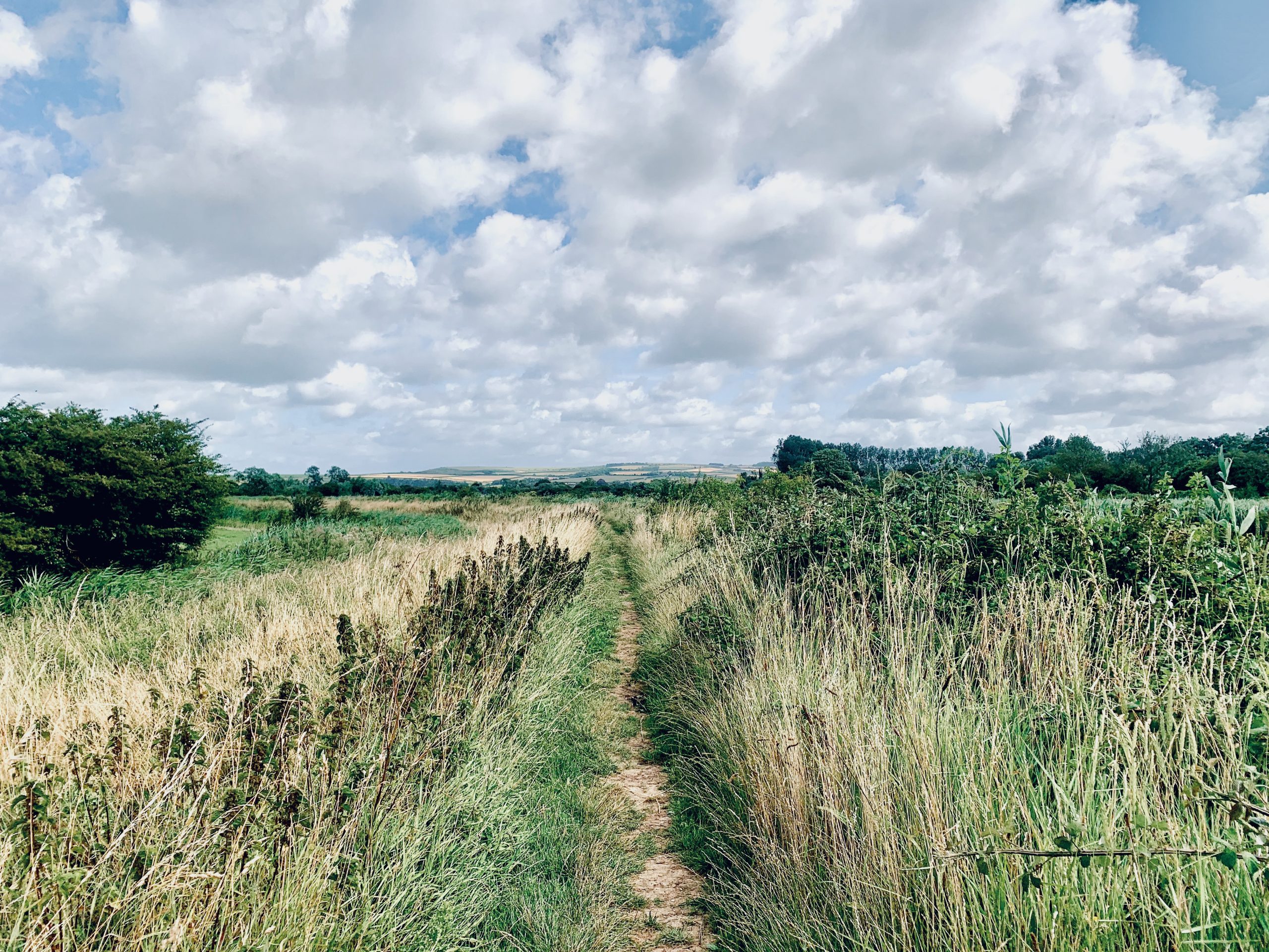
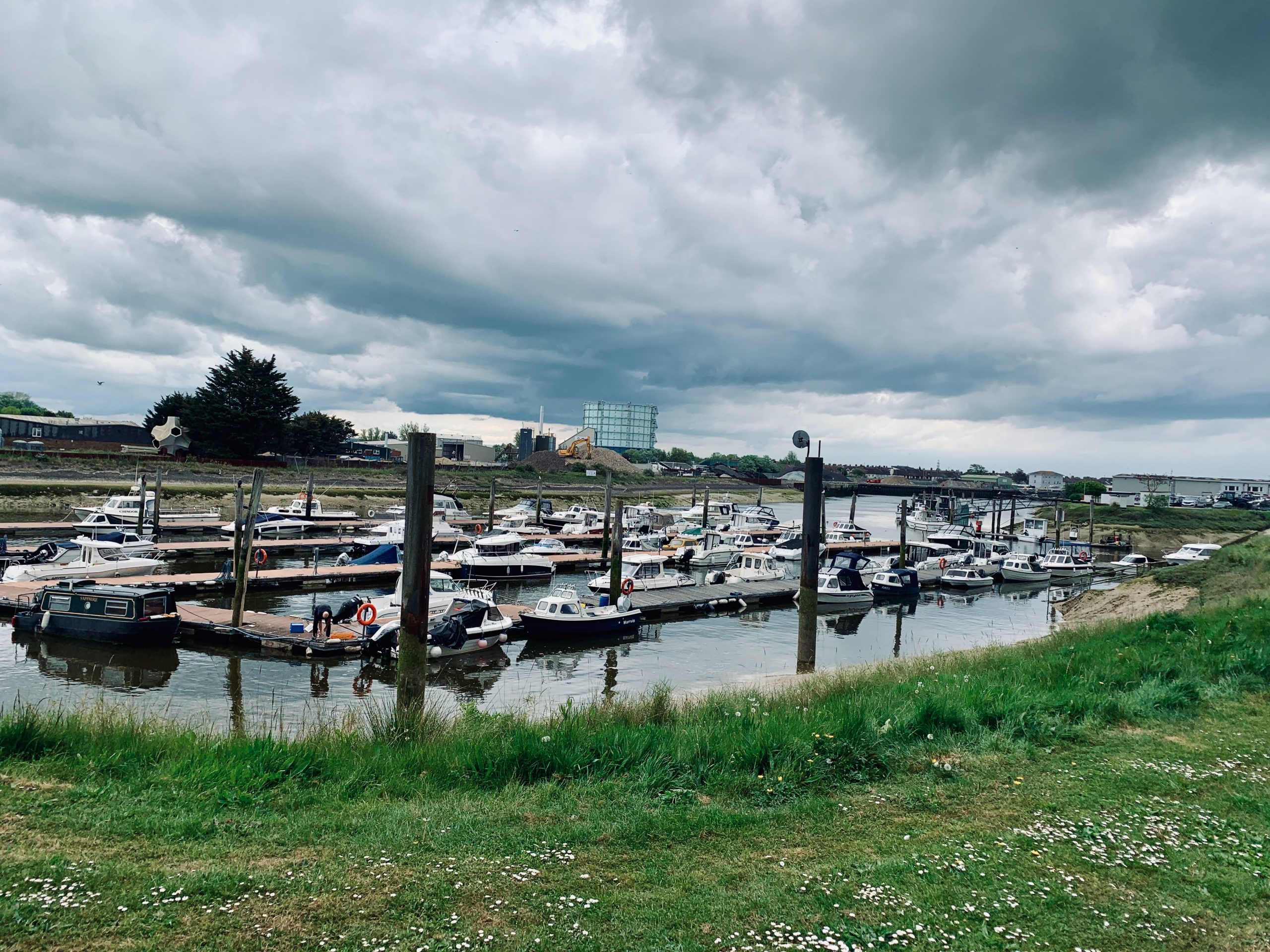
NO. 22 ARUNDEL TO ELMER (10mi)
No. 22 ARUNDEL TO ELMER
Distance: 10 Miles / 16km
Duration: 3-4hrs
Elevation Gain: 40ft
Coastal: 20%
Forest: 0%
ABOUT
Walk from Arundel to Elmer along the lower stretches of the River Arun and the West Sussex coastline. This 10-mile (16 km) route takes 3-4 hours to complete. The path is 20% coastal, offering scenic sea views as you approach Elmer, with no forested sections. The terrain is very flat, with only 40 ft of ascent and 30 ft of descent, making it a relaxed and easy-going route.
Start by taking a train from London Victoria to Arundel (approx. 1 hour 25 minutes). For the return, catch the No. 700 bus from Elmer back to Arundel, then take a train from Arundel to London Victoria. Buy return tickets to Arundel.
This walk is ideal for those seeking a mix of river and coastal scenery. It begins with picturesque riverside views around Arundel before heading towards the quieter coastlines near Elmer. It’s a perfect walk for a relaxed day out, especially in the summer months when the coastal breeze and open views are at their best.
RATING
Panoramic Views ★★★☆☆
Distance ★★★☆☆
Climbing ★★☆☆☆
Variation ★★★☆☆
Forest ☆☆☆☆☆
Coast ★★★☆☆
ROUTE PREVIEW
View Route in Google Maps
Download .gpx file for Komoot or Strava
TRANSPORT
Route to Arundel
NO. 23 SELSEY TO BOGNOR REGIS (11mi)
No. 23 SELSEY TO BOGNOR REGIS
Distance: 11 Miles / 18km
Duration: 4-5hrs
Elevation Gain: 10ft
Coastal: 75%
Forest: 0%
ABOUT
Walk from Selsey to Bognor Regis along the scenic West Sussex coastline. This 11-mile (18 km) route takes 4-5 hours to complete. The path is 75% coastal, offering extensive sea views for most of the walk, with no wooded sections. The route is predominantly flat, featuring only 10 ft of ascent and 20 ft of descent, making it an easy and leisurely coastal walk.
Start by taking a train from London Victoria to Chichester (approx. 1 hour 35 minutes), then transfer to the No. 51 bus to reach Selsey. For the return, catch a train from Bognor Regis back to London Victoria. Buy return tickets to Bognor Regis.
This walk is ideal for those looking to enjoy a day of uninterrupted coastal scenery. The route follows peaceful seaside paths, sandy stretches, and shingle beaches, offering a variety of coastal landscapes. It’s suitable for year-round walking and provides a relaxing day out with refreshing sea breezes and beautiful ocean views.
RATING
Panoramic Views ★★★★☆
Distance ★★★★☆
Climbing ★☆☆☆☆
Variation ★★★☆☆
Forest ☆☆☆☆☆
Coast ★★★★☆
ROUTE PREVIEW
View Route in Google Maps
Download .gpx file for Komoot or Strava
TRANSPORT
Route to Selsey
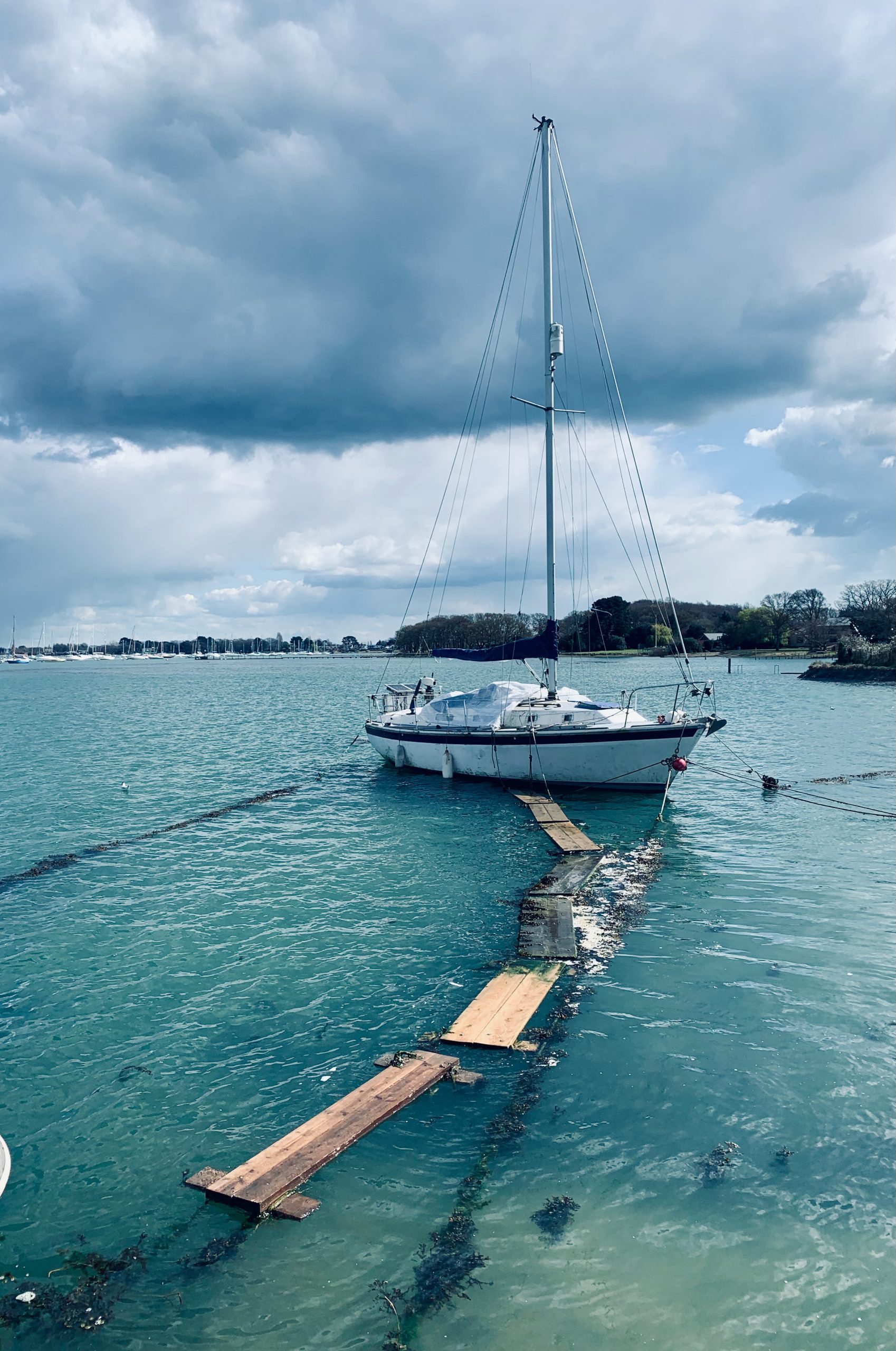
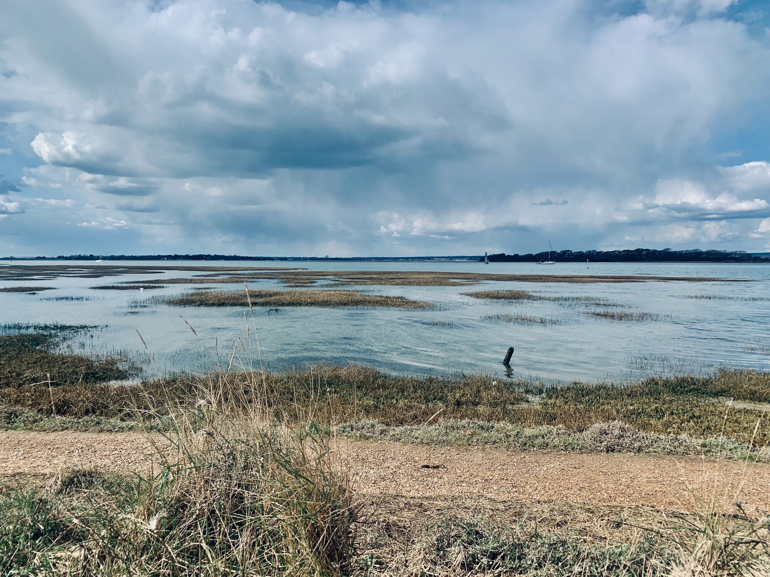
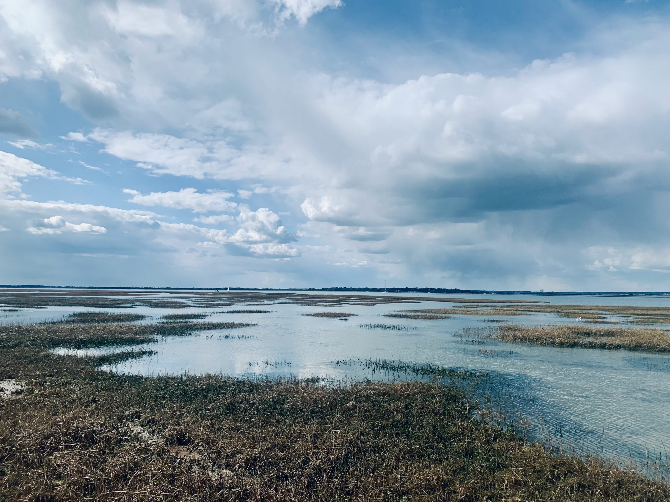
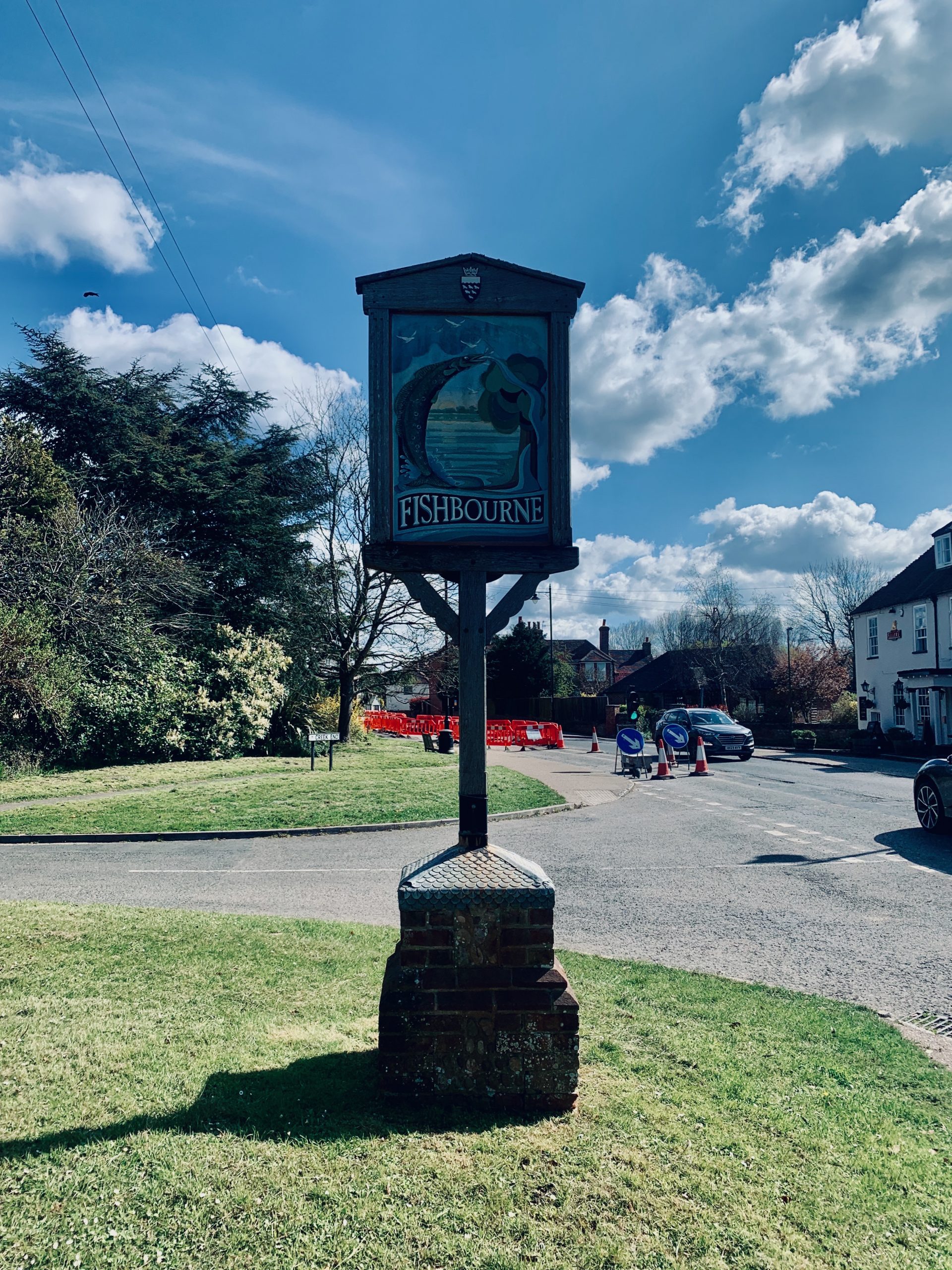
NO. 24 CHICHESTER (FISHBOURNE) TO WEST WITTERING (10mi)
No. 24 CHICHESTER (FISHBOURNE) TO WEST WITTERING
Distance: 10 Miles / 16km
Duration: 3-4hrs
Elevation Gain: 10ft
Coastal: 70%
Forest: 0%
ABOUT
Walk from West Wittering to Chichester along the beautiful coastline of West Sussex. This 10-mile (16 km) route takes 3-4 hours to complete. The path is 70% coastal, offering stunning sea views as you traverse sandy beaches and tidal paths, with no wooded areas. The terrain is flat, with just 10 ft of ascent and 20 ft of descent, making it an easy walk suitable for all fitness levels.
Start by taking a train from London Victoria to Chichester (approx. 1 hour 35 minutes), then transfer to the No. 52 bus to reach West Wittering. For the return, catch a train from Chichester back to London Victoria. Buy return tickets to Chichester.
This walk is perfect for those looking to experience a mix of coastal beauty and tranquil countryside. The route begins at the sandy shores of West Wittering, known for its expansive beach and clear waters, and then winds inland along quiet paths and fields towards the historic city of Chichester. Best enjoyed in spring or summer, when the coastal views and countryside are at their most vibrant.
RATING
Panoramic Views ★★★★☆
Distance ★★★☆☆
Climbing ★☆☆☆☆
Variation ★★★☆☆
Forest ☆☆☆☆☆
Coast ★★★★☆
ROUTE PREVIEW
View Route in Google Maps
Download .gpx file for Komoot or Strava
TRANSPORT
Route to West Wittering
NO. 25 HAVANT TO SOUTH HAYLING ISLAND (8mi)
No. 25 HAVANT TO SOUTH HAYLING ISLAND
Distance: 8 Miles / 13km
Duration: 3-4hrs
Elevation Gain: 20ft
Coastal: 75%
Forest: 15%
ABOUT
Walk from South Hayling Island to Havant, exploring the coastal and woodland landscapes of Hampshire. This 8-mile (13 km) route takes 3-4 hours to complete. The path is 75% coastal, featuring long stretches of seaside paths, and 15% forested, with some wooded sections near the inland areas. The terrain is predominantly flat, with just 20 ft of ascent and 35 ft of descent, making it a relaxed and enjoyable walk.
Start your journey by taking a train from London Waterloo to Havant (approx. 1 hour 20 minutes), then catch the No. 30 bus to reach South Hayling Island. For the return, take a train from Havant back to London Waterloo. Buy return tickets to Havant.
This walk is ideal for those looking to experience a mix of coastal views and quiet woodland trails. It offers a varied landscape, from peaceful beaches and tidal marshes to shaded paths through small wooded areas. It’s suitable for all seasons, providing a refreshing sea breeze and tranquil surroundings throughout the route.
RATING
Panoramic Views ★★★★☆
Distance ★★☆☆☆
Climbing ★☆☆☆☆
Variation ★★★☆☆
Forest ★☆☆☆☆
Coast ★★★★☆
ROUTE PREVIEW
View Route in Google Maps
Download .gpx file for Komoot or Strava
TRANSPORT
Route to South Hayling Island
NO. 26 PETERSFIELD TO COCKING (13mi)
No. 26 PETERSFIELD TO COCKING
Distance: 13 Miles / 21km
Duration: 4-5hrs
Elevation Gain: 1,225ft
Coastal: 0%
Forest: 35%
ABOUT
Walk from Cocking to Petersfield through the beautiful woodlands and rolling hills of the South Downs. This 13-mile (21 km) route takes 4-5 hours to complete. The path is 0% coastal and 35% forested, with significant sections of the trail weaving through dense woodlands. The route features 1,225 ft of ascent and 1,150 ft of descent, making it a moderately challenging hike with varied terrain and some steep climbs.
Start by taking a train from London Victoria to Chichester (approx. 1 hour 5 minutes), then transfer to the No. 60 bus to reach Cocking. For the return, catch a train from Petersfield back to London Waterloo. Buy return tickets to Chichester.
This walk is ideal for those seeking a mix of shaded woodland trails and open ridges with far-reaching views over the South Downs. It’s a perfect route for nature lovers and those looking to experience the tranquility and natural beauty of the English countryside. Suitable for all seasons, though especially rewarding in spring and autumn when the forest is at its most vibrant.
RATING
Panoramic Views ★★★★☆
Distance ★★★★☆
Climbing ★★★★☆
Variation ★★★★☆
Forest ★★★☆☆
Coast ☆☆☆☆☆
ROUTE PREVIEW
View Route in Google Maps
Download .gpx file for Komoot or Strava
TRANSPORT
Route to Cocking
NO. 27 LISS TO HASLEMERE (14mi)
No. 27 LISS TO HASLEMERE
Distance: 14 Miles / 23km
Duration: 5-6hrs
Elevation Gain: 1,475ft
Coastal: 0%
Forest: 80%
ABOUT
Walk from Liss to Haslemere through the heart of the South Downs, primarily navigating beautiful woodland trails. This 14-mile (23 km) route takes 5-6 hours to complete. The path is 0% coastal and 80% forested, making it a wonderfully shaded and scenic hike. With 1,475 ft of ascent and 1,725 ft of descent, the walk is moderately challenging, featuring rolling hills and some steeper sections.
Start by taking a train from London Waterloo to Liss (approx. 1 hour 15 minutes). For the return, catch a train from Haslemere back to London Waterloo. Buy return tickets to Haslemere.
This walk offers an immersive woodland experience, with the majority of the route passing through dense forests and peaceful glades. It’s perfect for those seeking tranquility and natural beauty, with varied terrain and panoramic views from the occasional hilltop. Best enjoyed in the spring or autumn, when the trees are in full bloom or showing vibrant autumn colours.
RATING
Panoramic Views ★★★★☆
Distance ★★★★★
Climbing ★★★★★
Variation ★★★★☆
Forest ★★★★☆
Coast ☆☆☆☆☆
ROUTE PREVIEW
View Route in Google Maps
Download .gpx file for Komoot or Strava
TRANSPORT
Route to Liss
NO. 28 LIPHOOK TO HASLEMERE (11MI)
No. 28 LIPHOOK TO HASLEMERE
Distance: 11 Miles / 18km
Duration: 3-4hrs
Elevation Gain: 1,125ft
Coastal: 0%
Forest: 85%
ABOUT
Walk from Liphook to Haslemere through the serene woodlands of the South Downs. This 11-mile (18 km) route takes 3-4 hours to complete. The path is 0% coastal and 85% forested, offering a tranquil woodland setting for most of the walk. The trail includes 1,125 ft of ascent and 1,025 ft of descent, making it a moderately challenging hike with some rolling hills and forested climbs.
Start by taking a train from London Waterloo to Liphook (approx. 1 hour 14 minutes). For the return, catch a train from Haslemere back to London Waterloo. Buy return tickets to Haslemere.
This walk is perfect for those looking to immerse themselves in the beauty of ancient woodlands and experience the peace and quiet of forest trails. With well-marked paths and varying terrain, it’s suitable for all seasons, though especially enjoyable in spring and autumn when the woodland colors are at their most vibrant.
RATING
Panoramic Views ★★★★☆
Distance ★★★★☆
Climbing ★★★★☆
Variation ★★★★☆
Forest ★★★☆☆
Coast ☆☆☆☆☆
ROUTE PREVIEW
View Route in Google Maps
Download .gpx file for Komoot or Strava
TRANSPORT
Route to Liphook
NO. 29 HASLEMERE TO MILFORD (11mi)
No. 29 HASLEMERE TO MILFORD
Distance: 11 Miles / 18km
Duration: 3-4hrs
Elevation Gain: 760ft
Coastal: 0%
Forest: 65%
ABOUT
Walk from Haslemere to Milford through the enchanting woodlands and scenic trails of the Surrey Hills. This 11-mile (18 km) route takes 3-4 hours to complete. The path is 0% coastal and 65% forested, offering a peaceful woodland experience for much of the walk. The route features 760 ft of ascent and 1,020 ft of descent, making it a moderately challenging hike with some gentle climbs and forested paths.
Start by taking a train from London Waterloo to Haslemere (approx. 55 minutes). For the return, catch a train from Milford back to London Waterloo. Buy return tickets to Milford.
This walk is ideal for those seeking a quiet day out in nature, with shaded forest trails, open countryside, and panoramic views over the Surrey Hills. It’s a perfect route for exploring the beauty of the region and enjoying the tranquility of the woods. Best enjoyed in spring or autumn when the forests are at their most vibrant.
RATING
Panoramic Views ★★★☆☆
Distance ★★★★☆
Climbing ★★★★☆
Variation ★★★★☆
Forest ★★★☆☆
Coast ☆☆☆☆☆
ROUTE PREVIEW
View Route in Google Maps
Download .gpx file for Komoot or Strava
TRANSPORT
Route to Haslemere
NO. 30 CHILWORTH TO GOMSHALL (10mi)
No. 30 CHILWORTH TO GOMSHALL
Distance: 12 Miles / 19km
Duration: 4-5hrs
Elevation Gain: 1,025ft
Coastal: 0%
Forest: 85%
ABOUT
Walk from Chilworth to Gomshall through the picturesque woodlands of the Surrey Hills. This 12-mile (19 km) route takes 4-5 hours to complete. The path is 0% coastal and 85% forested, providing a serene journey through dense woods and shaded trails. The route includes 1,025 ft of ascent and 1,150 ft of descent, making it a moderately challenging hike with varied terrain and occasional steep sections.
Start by taking a train from London Waterloo to Chilworth (approx. 1 hour 5 minutes). For the return, catch a train from Gomshall back to London Waterloo. Buy return tickets to Gomshall.
This walk is perfect for those looking to explore the natural beauty of the Surrey Hills, with a focus on peaceful forest trails and charming rural landscapes. It’s ideal for a day out in nature, especially in spring or autumn when the woodlands are at their most vibrant. Enjoy the tranquility of the forested paths and occasional open views across the surrounding countryside.
RATING
Panoramic Views ★★★★☆
Distance ★★★★☆
Climbing ★★★★☆
Variation ★★★★☆
Forest ★★★☆☆
Coast ☆☆☆☆☆
ROUTE PREVIEW
View Route in Google Maps
Download .gpx file for Komoot or Strava
TRANSPORT
Route to Chilworth
NO. 31 PEASLAKE TO GOMSHALL (10mi)
No. 31 PEASLAKE TO GOMSHALL
Distance: 10 Miles / 16km
Duration: 3-4hrs
Elevation Gain: 900ft
Coastal: 0%
Forest: 55%
ABOUT
Walk from Peaslake to Gomshall through the heart of the Surrey Hills, featuring quiet woodland paths and rolling countryside. This 10-mile (16 km) route takes 3-4 hours to complete. The path is 0% coastal and 55% forested, offering a peaceful journey through dense woods and open fields. The route includes 900 ft of ascent and 975 ft of descent, making it a moderately challenging walk with a mix of gentle climbs and descents.
Start by taking a train from London Waterloo to Guildford (approx. 35 minutes), then transfer to the No. 25 bus to reach Peaslake. For the return, catch a train from Gomshall back to London Waterloo. Buy return tickets to Gomshall.
This walk is ideal for those seeking a tranquil day out in nature, with scenic trails that showcase the beauty of the Surrey Hills. It’s a great choice for all seasons, providing shaded paths during the summer and vibrant foliage in the autumn. The route is well-marked, making it suitable for a relaxed yet rewarding hike.
RATING
Panoramic Views ★★★☆☆
Distance ★★★☆☆
Climbing ★★★★☆
Variation ★★★☆☆
Forest ★★★★☆
Coast ☆☆☆☆☆
ROUTE PREVIEW
View Route in Google Maps
Download .gpx file for Komoot or Strava
TRANSPORT
Route to Peaslake
NO. 32 GOMSHALL TO DORKING (7mi)
No. 32 GOMSHALL TO DORKING
Distance: 7 Miles / 11km
Duration: 2-3hrs
Elevation Gain: 825ft
Coastal: 0%
Forest: 70%
ABOUT
Walk from Gomshall to Dorking through the scenic trails and wooded landscapes of the Surrey Hills. This 7-mile (11 km) route takes 2-3 hours to complete. The path is 0% coastal and 70% forested, offering a quiet journey through dense woodlands and occasional open fields. The route features 825 ft of ascent and 675 ft of descent, making it a moderately challenging walk with some gentle climbs and descents.
Start by taking a train from London Waterloo to Gomshall (approx. 1 hour 5 minutes). For the return, catch a train from Dorking back to London Waterloo. Buy return tickets to Dorking.
This walk is perfect for those looking to enjoy a shorter but rewarding route through the Surrey Hills, featuring peaceful forest trails and picturesque rural scenery. The well-maintained paths and shaded trails make it a pleasant walk for any season, with particularly beautiful views in spring and autumn when the forest colors are at their best.
RATING
Panoramic Views ★★★☆☆
Distance ★★☆☆☆
Climbing ★★★☆☆
Variation ★★★☆☆
Forest ★★★★☆
Coast ☆☆☆☆☆
ROUTE PREVIEW
View Route in Google Maps
Download .gpx file for Komoot or Strava
TRANSPORT
Route to Gomshall
NO 33 LEATHERHEAD TO DORKING (11mi)
No. 33 LEATHERHEAD TO DORKING
Distance: 11 Miles / 18km
Duration: 4-5hrs
Elevation Gain: 1,275ft
Coastal: 0%
Forest: 90%
ABOUT
Walk from Leatherhead to Dorking through the lush woodlands and rolling hills of the Surrey countryside. This 11-mile (18 km) route takes 4-5 hours to complete. The path is 0% coastal and 90% forested, making it a perfect route for those seeking an immersive woodland experience. The trail features 1,275 ft of ascent and 1,275 ft of descent, offering a moderately challenging hike with varied terrain and a mix of gentle climbs and descents.
Start by taking a train from London Waterloo to Leatherhead (approx. 45 minutes). For the return, catch a train from Dorking back to London Waterloo. Buy return tickets to Dorking.
This walk is ideal for those who appreciate tranquil woodland settings and want to explore the natural beauty of the Surrey Hills. The dense forests provide ample shade, making it a great route for warmer days. Best enjoyed in spring or autumn, when the forest is either bursting into leaf or showing off its vibrant fall colors. Suitable for seasoned walkers looking for a rewarding day in nature.
RATING
Panoramic Views ★★★★☆
Distance ★★★★☆
Climbing ★★★★★
Variation ★★★★☆
Forest ★★★★☆
Coast ☆☆☆☆☆
ROUTE PREVIEW
View Route in Google Maps
Download .gpx file for Komoot or Strava
TRANSPORT
Route to Leatherhead
NO. 34 BETCHWORTH TO CATERHAM (12mi)
No. 34 BETCHWORTH TO CATERHAM
Distance: 12 Miles / 19km
Duration: 4-5hrs
Elevation Gain: 1,100ft
Coastal: 0%
Forest: 20%
ABOUT
Walk from Betchworth to Caterham through the beautiful landscapes of Surrey, featuring a mix of open countryside and shaded woodland paths. This 12-mile (19 km) route takes 4-5 hours to complete. The path is 0% coastal and 20% forested, offering a balance of rural views and peaceful wooded sections. The trail includes 1,100 ft of ascent and 925 ft of descent, making it a moderately challenging hike with varied terrain.
Start by taking a train from London Victoria to Betchworth (approx. 58 minutes). For the return, catch a train from Caterham back to London Victoria. Buy return tickets to Caterham.
This walk is perfect for those seeking to explore the diverse scenery of the Surrey countryside. It features gentle hills, open fields, and small patches of forest, making for a varied and enjoyable hike. The route is best enjoyed in spring or summer, when the fields are in bloom and the woodlands provide cool shade. Suitable for a relaxed yet rewarding day out in nature.
RATING
Panoramic Views ★★★☆☆
Distance ★★★★☆
Climbing ★★★★☆
Variation ★★★☆☆
Forest ★☆☆☆☆
Coast ☆☆☆☆☆
ROUTE PREVIEW
View Route in Google Maps
Download .gpx file for Komoot or Strava
TRANSPORT
Route to Betchworth
NO. 35 SELSDON TO COUSLDON (8mi)
No. 35 SELSDON TO COULSDON
Distance: 8 Miles / 13km
Duration: 3-4hrs
Elevation Gain: 675ft
Coastal: 0%
Forest: 0%
ABOUT
Walk from Selsdon to Coulsdon South, passing through the scenic green spaces and gentle hills of South London. This 8-mile (13 km) route takes 3-4 hours to complete. The path is 0% coastal and 0% forested, featuring a mix of suburban parks, open fields, and quiet residential areas. The walk includes 675 ft of ascent and 775 ft of descent, making it a relatively easy route with some rolling terrain.
Start by taking a train from London Victoria to East Croydon (approx. 15 minutes), then transfer to the No. 412 bus to reach Selsdon. For the return, catch a train from Coulsdon South back to London Victoria. Buy return tickets to Coulsdon South.
This walk is ideal for those looking to explore the tranquil green spaces of South London. The route is well-suited for a relaxed day out, featuring gentle paths and open views. It’s best enjoyed on a mild day, providing a pleasant escape from the city without venturing too far from Central London. Suitable for walkers of all levels looking for a leisurely urban trail.
RATING
Panoramic Views ★★★☆☆
Distance ★★☆☆☆
Climbing ★★★☆☆
Variation ★★★☆☆
Forest ☆☆☆☆☆
Coast ☆☆☆☆☆
ROUTE PREVIEW
View Route in Google Maps
Download .gpx file for Komoot or Strava
TRANSPORT
Route to Selsdon
NO. 36 SEVENOAKS TO KEMSING (KNOLE PARK) (10mi)
No. 36 SEVENOAKS TO KEMSING (KNOLE PARK)
Distance: 10 Miles / 16km
Duration: 3-4hrs
Elevation Gain: 950ft
Coastal: 0%
Forest: 45%
ABOUT
Walk from Kemsing to Sevenoaks through the scenic woodlands and rolling hills of Kent. This 10-mile (16 km) route takes 3-4 hours to complete. The path is 0% coastal and 45% forested, offering a serene journey through shaded woodlands and open countryside. The walk features 950 ft of ascent and 1,000 ft of descent, making it a moderately challenging hike with a variety of terrain and some gentle climbs.
Start by taking a train from London Charing Cross to Sevenoaks (approx. 35 minutes), then transfer to the No. 2 bus to reach Kemsing (Knole Park). For the return, catch a train from Kemsing back to London Charing Cross. Buy return tickets to Kemsing.
This walk is ideal for those looking to experience the tranquility of the Kent countryside. The trail passes through quiet woods, open fields, and historic parklands, providing beautiful views and a chance to explore the picturesque landscapes of the North Downs. It’s perfect for a day out in nature, especially in spring or autumn when the woods are at their most vibrant.
RATING
Panoramic Views ★★★☆☆
Distance ★★★☆☆
Climbing ★★★★☆
Variation ★★★☆☆
Forest ★★★☆☆
Coast ☆☆☆☆☆
ROUTE PREVIEW
View Route in Google Maps
Download .gpx file for Komoot or Strava
TRANSPORT
Route to Kemsing
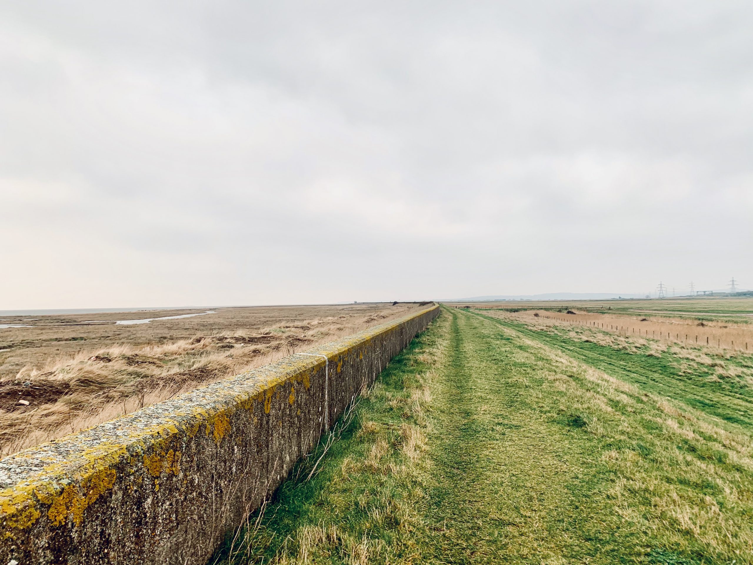
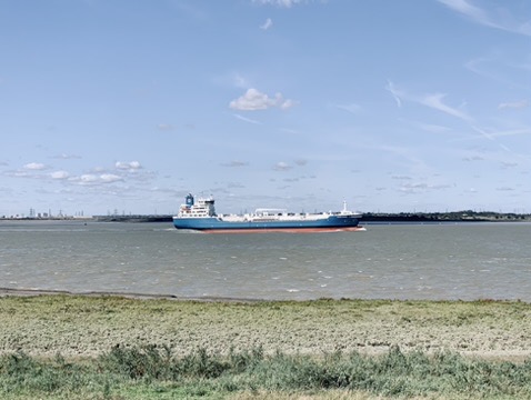
NO. 37 DARTFORD TO GREENHITHE (10mi)
No. 37 DARTFORD TO GREENHITHE
Distance: 10 Miles / 16km
Duration: 3-4hrs
Elevation Gain: 125ft
Coastal: 85%
Forest: 0%
ABOUT
Walk from Dartford to Greenhithe along the tranquil Thames Path, following the scenic riverside route through Kent. This 10-mile (16 km) walk takes 3-4 hours to complete. The path is 85% coastal, offering continuous views of the River Thames, and 0% forested, with no wooded sections. The terrain is very flat, featuring just 125 ft of ascent and 150 ft of descent, making it an easy, leisurely walk along the water’s edge.
Start by taking a train from London Charing Cross to Dartford (approx. 42 minutes). For the return, catch a train from Greenhithe back to London Charing Cross. Buy return tickets to Greenhithe.
This walk is perfect for those seeking a peaceful riverside experience, with ample opportunities to enjoy the Thames scenery and the rich birdlife along the water. It’s suitable for all seasons, with well-maintained paths and a relaxed pace, making it a great choice for a serene day out along one of London’s most iconic rivers.
RATING
Panoramic Views ★★★★☆
Distance ★★★☆☆
Climbing ★☆☆☆☆
Variation ★★★☆☆
Forest ★☆☆☆☆
Coast ★★★★☆
ROUTE PREVIEW
View Route in Google Maps
Download .gpx file for Komoot or Strava
TRANSPORT
Route to Dartford
NO. 38 BESLEY TO ORPINGDON (10mi)
No. 38 BEXLEY TO ORPINGTON
Distance: 10 Miles / 16km
Duration: 3-4hrs
Elevation Gain: 525ft
Coastal: 5%
Forest: 0%
ABOUT
Walk from Bexley to Orpington through the charming countryside and suburban areas of Kent. This 10-mile (16 km) route takes 3-4 hours to complete. The path is 5% coastal, offering limited views of the nearby waterways, and 0% forested, with mostly open fields and residential areas. The walk features 525 ft of ascent and 225 ft of descent, making it a moderately easy hike with some gentle climbs.
Start by taking a train from London Charing Cross to Bexley (approx. 32 minutes). For the return, catch a train from Orpington back to London Charing Cross. Buy return tickets to Orpington.
This walk is ideal for those looking to explore the tranquil green spaces and suburban scenery of Kent. The route includes a mix of quiet streets, parks, and open countryside, providing a pleasant escape from the hustle and bustle of city life. It’s best enjoyed in the spring or summer when the countryside is lush and vibrant, making it a perfect choice for a leisurely day out in nature.
RATING
Panoramic Views ★★★☆☆
Distance ★★★☆☆
Climbing ★★☆☆☆
Variation ★★★☆☆
Forest ★★★☆☆
Coast ☆☆☆☆☆
ROUTE PREVIEW
View Route in Google Maps
Download .gpx file for Komoot or Strava
TRANSPORT
Route to Bexley
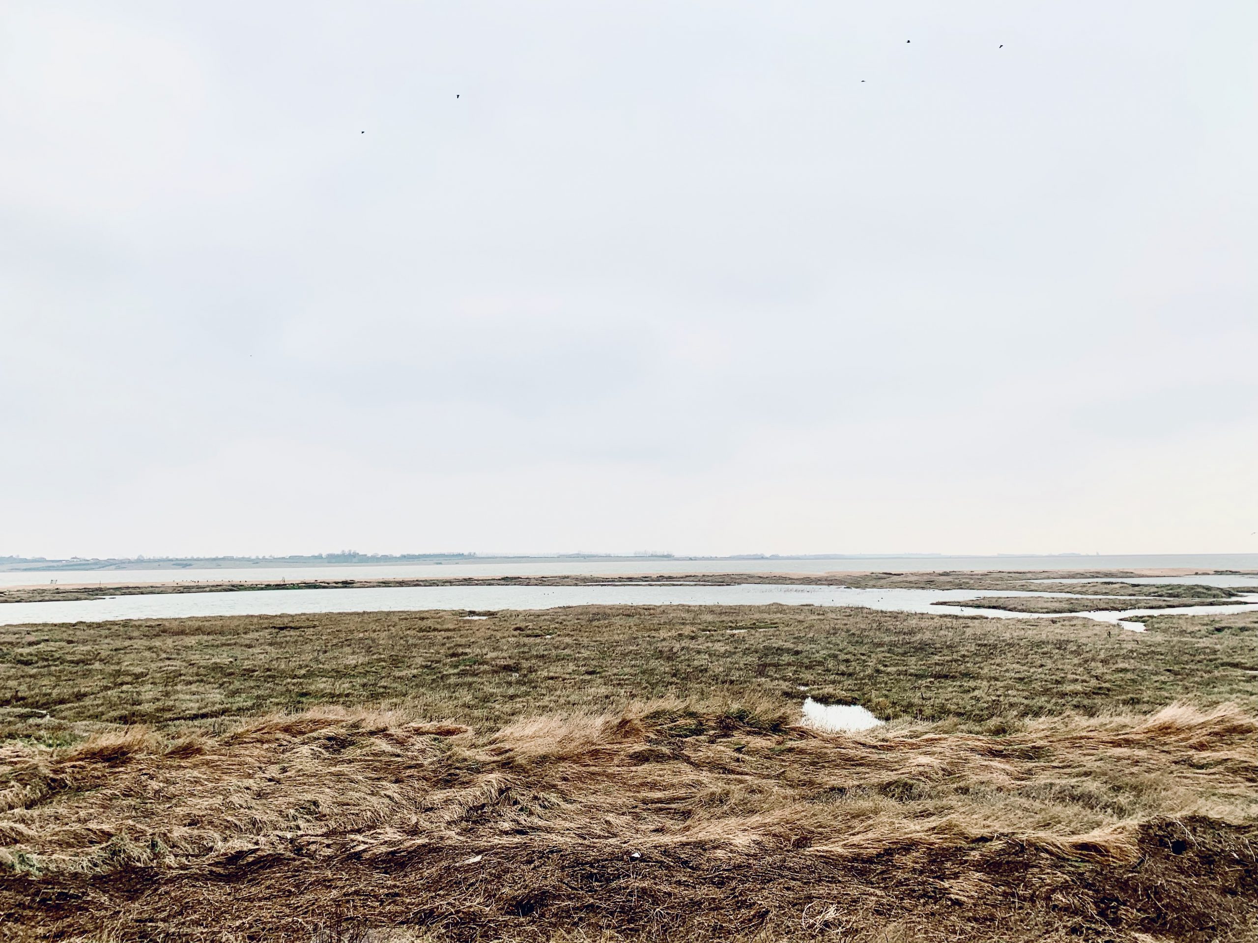
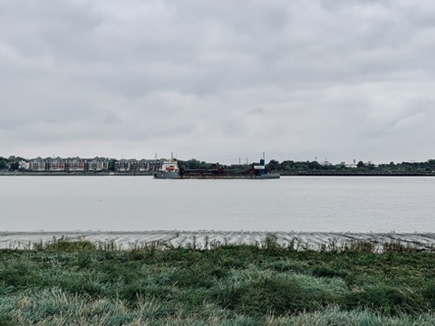
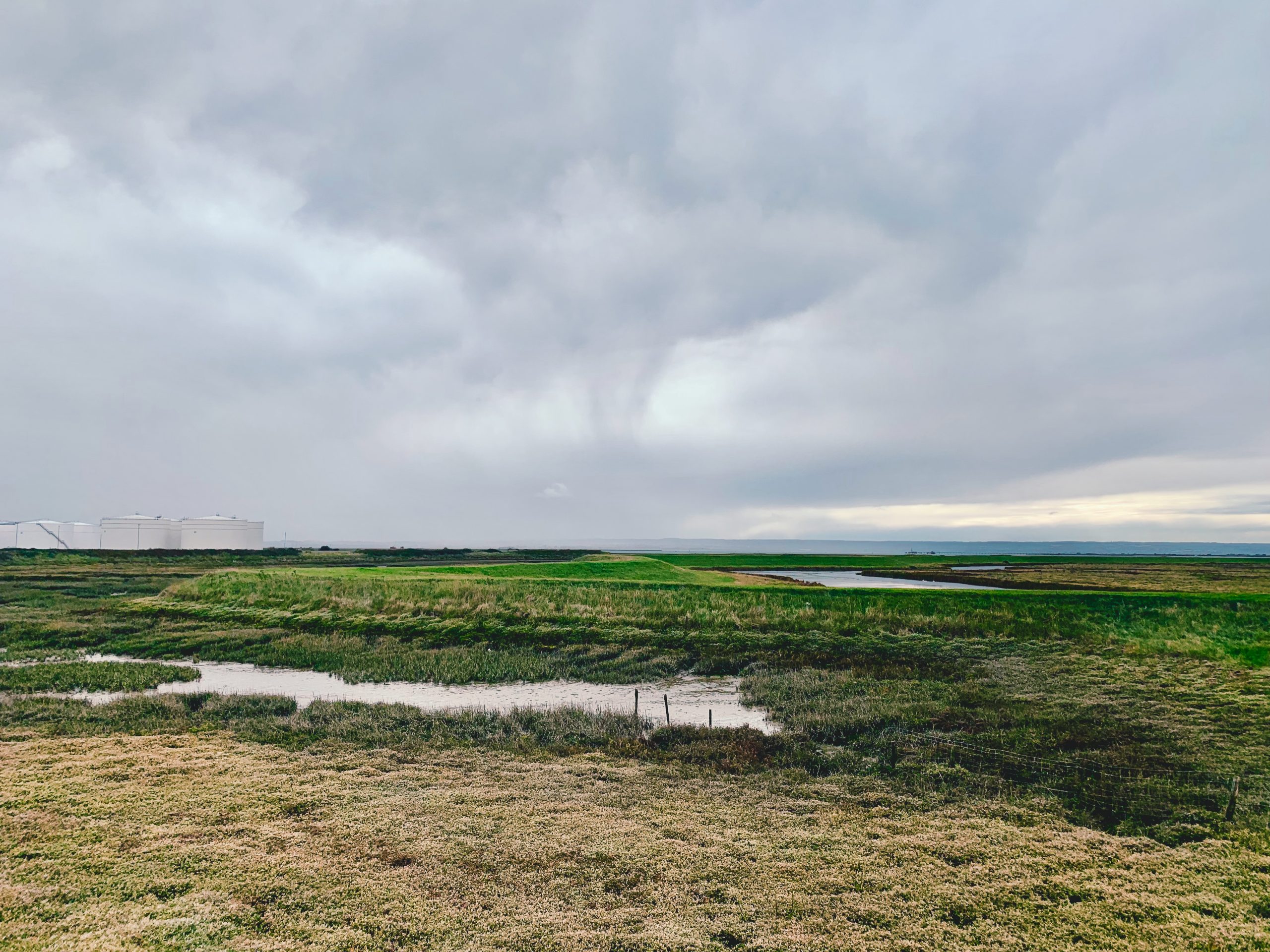
NO. 39 GRAVESEND TO CLIFFE (9mi)
No. 39 GRAVESEND TO CLIFFE
Distance: 9 Miles / 14km
Duration: 3-4hrs
Elevation Gain: 75ft
Coastal: 80%
Forest: 0%
ABOUT
Walk from Cliffe to Gravesend along the picturesque Thames Estuary. This 9-mile (14 km) route takes 3-4 hours to complete. The path is 80% coastal, providing stunning views of the river and surrounding landscapes, and 0% forested, with no wooded sections along the route. The terrain is relatively flat, featuring only 75 ft of ascent and 100 ft of descent, making it an easy and enjoyable walk.
Start your journey by taking a train from London Charing Cross to Gravesend (approx. 55 minutes), then transfer to bus No. 416 to reach Cliffe. For the return, catch a train from Gravesend back to London Charing Cross. Buy return tickets to Gravesend.
This walk is perfect for those looking to enjoy a scenic day along the Thames, with opportunities to spot wildlife and appreciate the natural beauty of the estuary. The route features well-maintained paths and gentle terrain, making it suitable for walkers of all levels. It’s best enjoyed in the spring or summer when the views are at their most vibrant, providing a refreshing escape into nature.
RATING
Panoramic Views ★★★★☆
Distance ★★★☆☆
Climbing ★☆☆☆☆
Variation ★★★☆☆
Forest ☆☆☆☆☆
Coast ★★★★☆
ROUTE PREVIEW
View Route in Google Maps
Download .gpx file for Komoot or Strava
TRANSPORT
Route to Cliffe
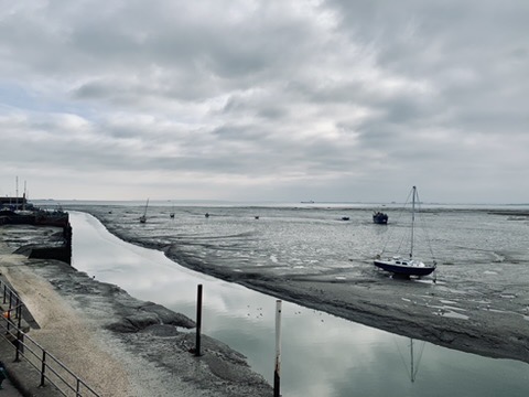
NO. 40 SOUTH BENFLEET OT LEIGH-ON-SEA (5mi)
No. 40 SOUTH BENFLEET TO LEIGH-ON-SEA
Distance: 5 Miles / 8km
Duration: 2-3hrs
Elevation Gain: 50ft
Coastal: 95%
Forest: 0%
ABOUT
Walk from Benfleet to Leigh-on-Sea along the scenic South Essex coastline. This 5-mile (8 km) route takes 2-3 hours to complete. The path is 95% coastal, offering nearly uninterrupted views of the Thames estuary, and 0% forested, with no wooded areas along the trail. The terrain is flat, featuring just 50 ft of ascent and 50 ft of descent, making it an easy and leisurely walk.
Start your journey by taking a train from London Fenchurch Street to Benfleet (approx. 44 minutes). For the return, catch a train from Leigh-on-Sea back to London Fenchurch Street. Buy return tickets to Leigh-on-Sea.
This walk is ideal for those looking to enjoy a relaxing day by the water, with opportunities to experience the local wildlife and take in the fresh sea air. The route features well-maintained paths along the coast, making it suitable for walkers of all ages. Best enjoyed in the spring or summer when the coastal views are at their best, providing a pleasant escape into nature.
RATING
Panoramic Views ★★★★☆
Distance ★★☆☆☆
Climbing ★☆☆☆☆
Variation ★★★☆☆
Forest ☆☆☆☆☆
Coast ★★★★★
ROUTE PREVIEW
View Route in Google Maps
Download .gpx file for Komoot or Strava
TRANSPORT
Route to Benfleet
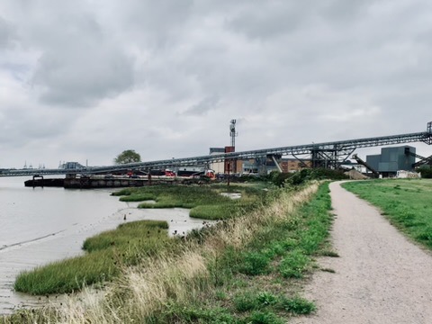
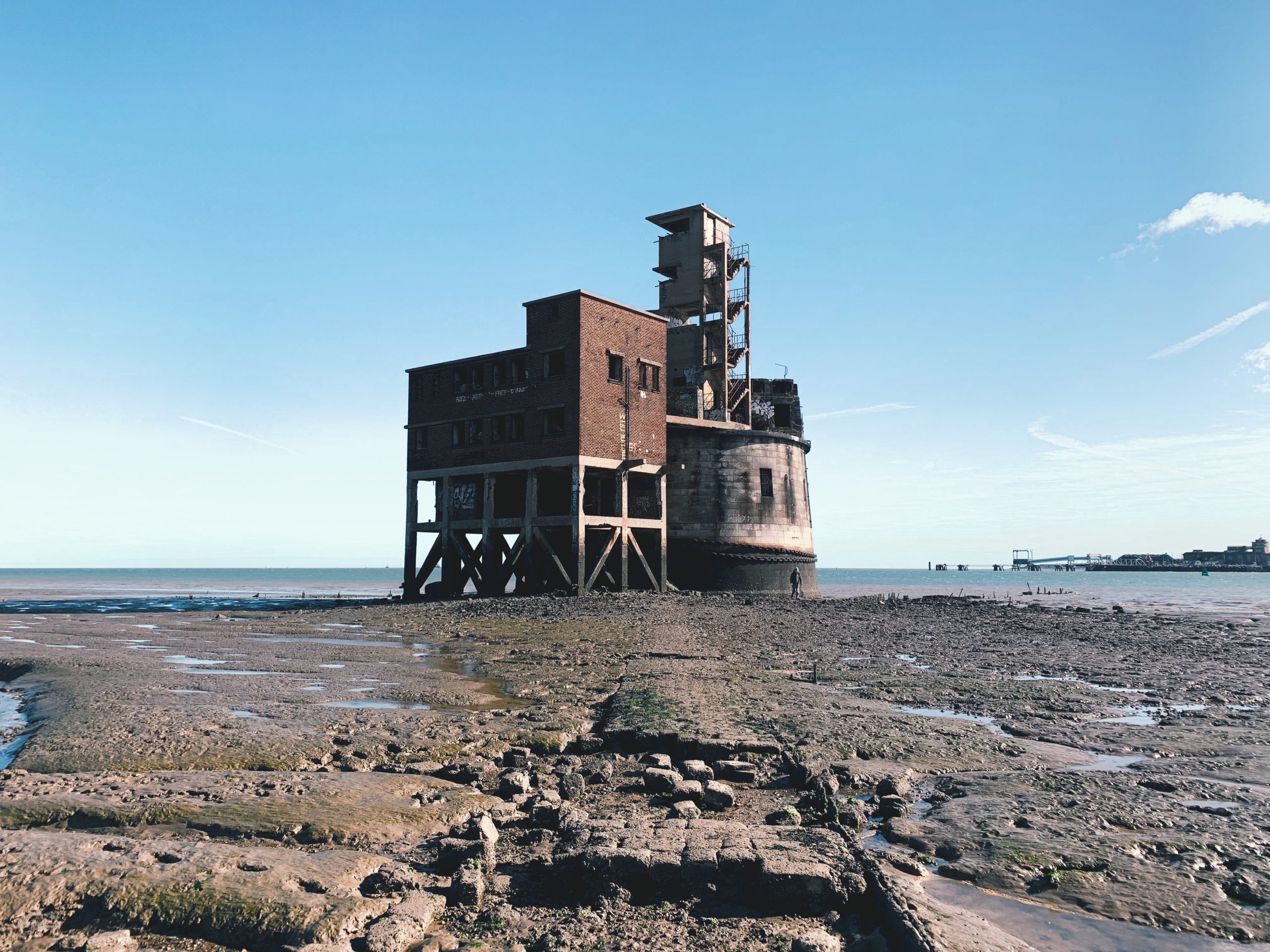
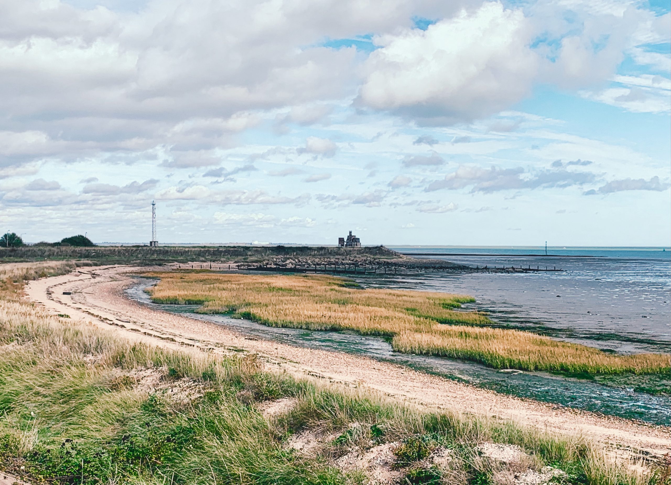
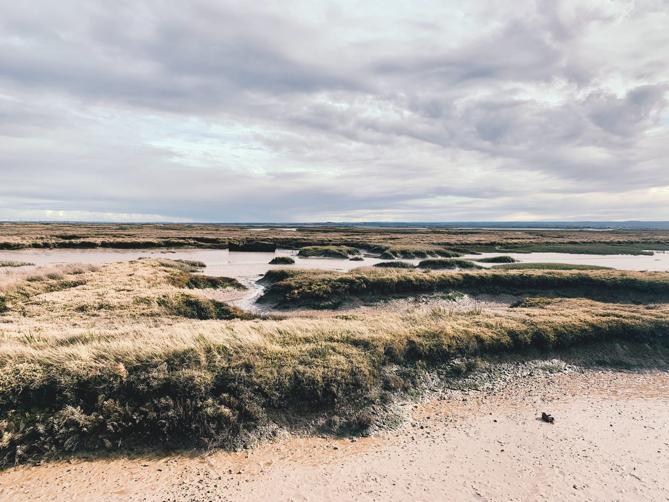
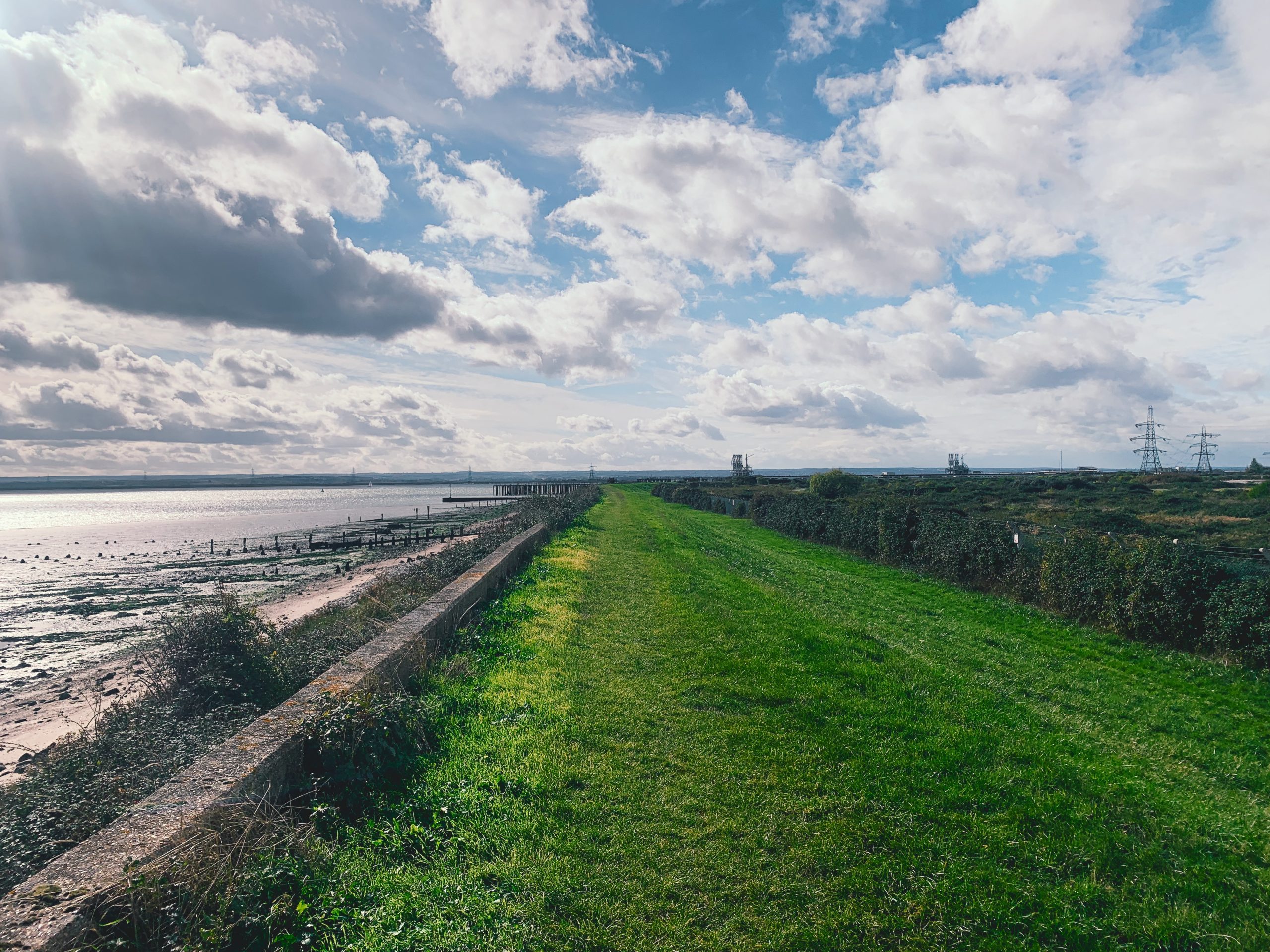
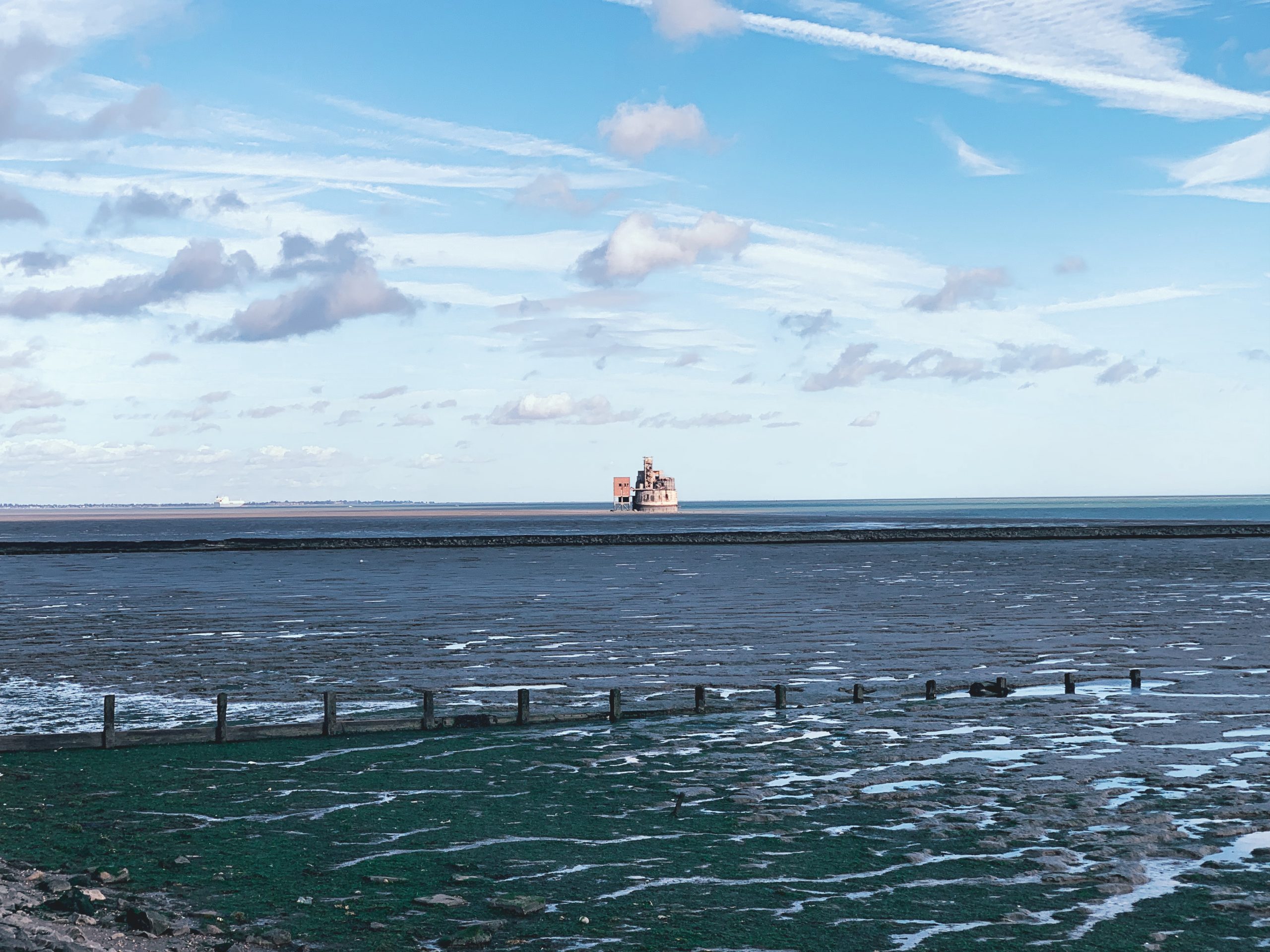
NO. 41 GRAN TO STROOD (13mi)
No. 41 GRAIN TO STROOD
Distance: 13 Miles / 21km
Duration: 4-5hrs
Elevation Gain: 150ft
Coastal: 55%
Forest: 0%
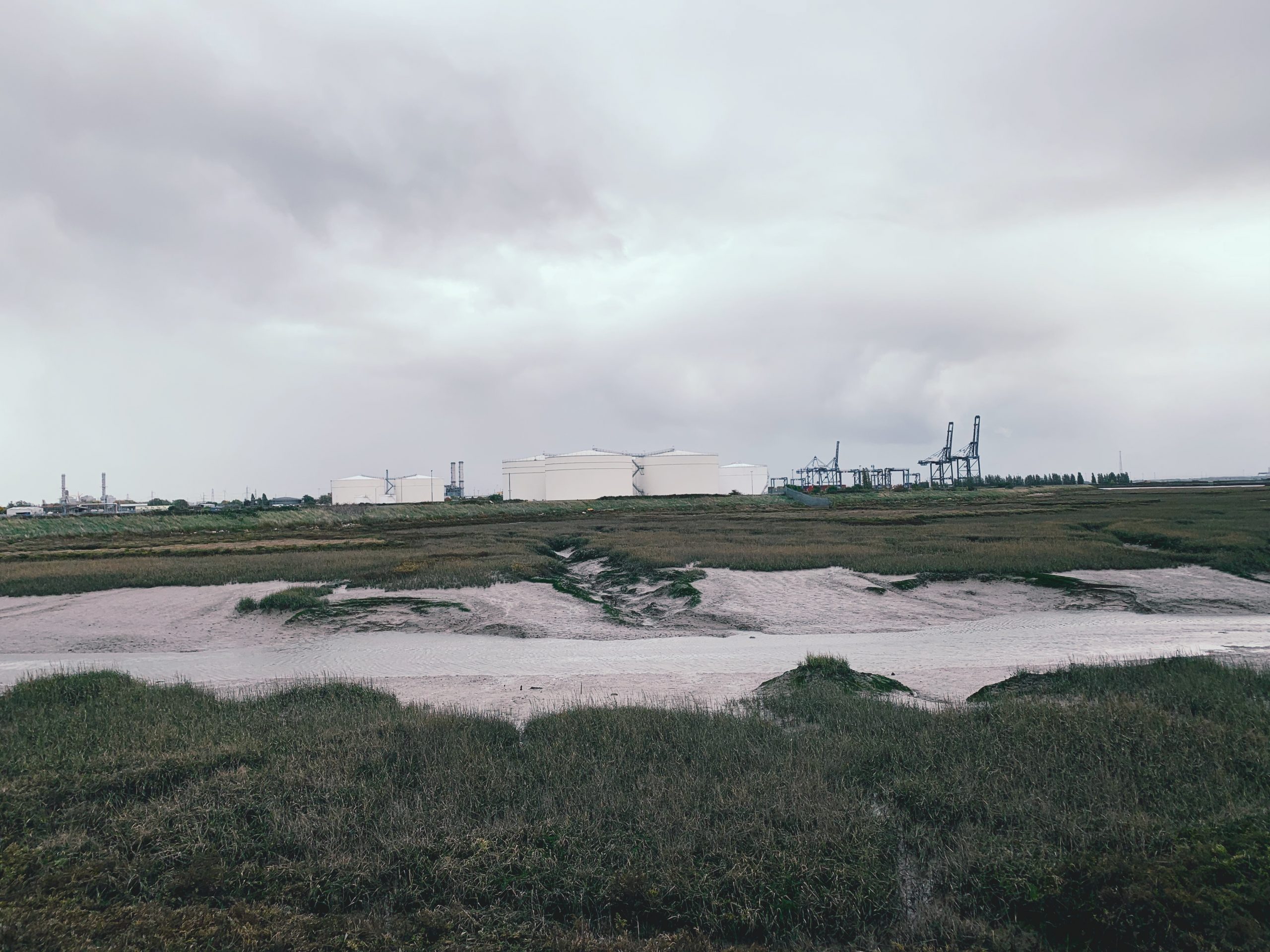
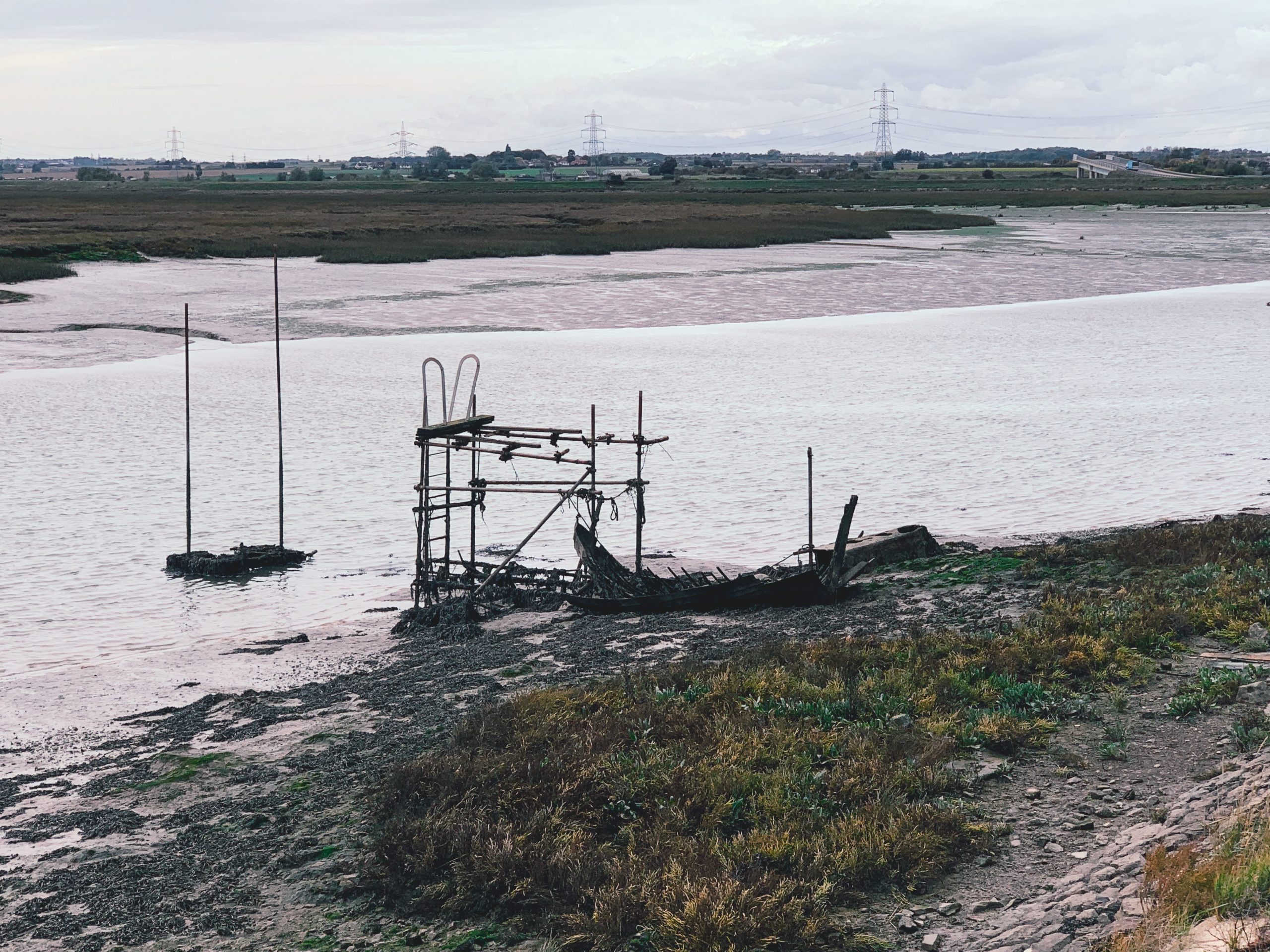
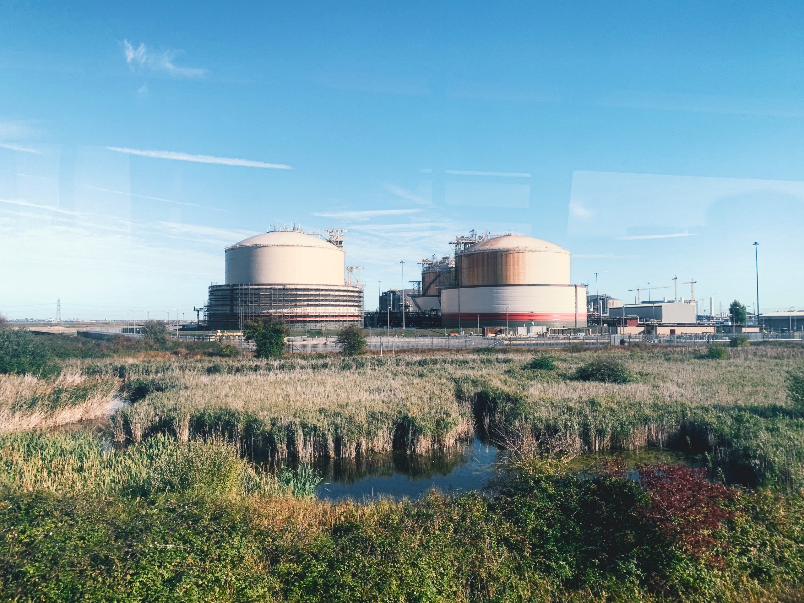
ABOUT
Walk from Grain to Strood along the picturesque landscapes of the Hoo Peninsula. This 13-mile (21 km) route takes 4-5 hours to complete. The path is 55% coastal, offering beautiful views of the Thames Estuary, and 0% forested, with no wooded areas along the way. The terrain is mostly flat, featuring just 150 ft of ascent and 150 ft of descent, making it a relatively easy hike.
Start your journey by taking a train from London St Pancras International to Strood (approx. 35 minutes), then transfer to bus No. 191 to reach Grain. For the return, catch a train from Strood back to London St Pancras International. Buy return tickets to Strood.
This walk is perfect for those looking to explore the natural beauty of the Hoo Peninsula, with a mix of coastal paths and open fields. It provides ample opportunities for wildlife spotting and enjoying the tranquil scenery along the estuary. Ideal for a day out, especially in spring or summer when the landscape is vibrant and the weather is pleasant.
RATING
Panoramic Views ★★★☆☆
Distance ★★★★☆
Climbing ★★★☆☆
Variation ★★★★☆
Forest ★★★☆☆
Coast ★★★☆☆
ROUTE PREVIEW
View Route in Google Maps
Download .gpx file for Komoot or Strava
TRANSPORT
Route to Grain
NO. 42 CHATHAM TO RAINHAM (7mi)
No. 42 CHATHAM TO RAINHAM
Distance: 7 Miles / 11km
Duration: 2-3hrs
Elevation Gain: 225ft
Coastal: 90%
Forest: 0%
ABOUT
Walk from Chatham to Rainham through the scenic landscapes of the Medway area. This 7-mile (11 km) route takes 2-3 hours to complete. The path is 90% coastal, offering stunning views of the River Medway, and 0% forested, with no wooded sections along the route. The terrain includes some gentle elevation changes, featuring 225 ft of ascent and 250 ft of descent, making it a moderately easy walk.
Start your journey by taking a train from London Victoria to Chatham (approx. 1 hour 1 minute). For the return, catch a train from Rainham back to London Victoria. Buy return tickets to Rainham.
This walk is ideal for those looking to enjoy the natural beauty of the Medway region, with opportunities to explore riverside paths and picturesque views. It’s suitable for walkers of all levels, providing a refreshing escape into nature. Best enjoyed in spring or autumn, when the landscape is particularly vibrant and the weather is pleasant for walking.
RATING
Panoramic Views ★★★★☆
Distance ★★★☆☆
Climbing ★★★☆☆
Variation ★★★☆☆
Forest ☆☆☆☆☆
Coast ★★★★★
ROUTE PREVIEW
View Route in Google Maps
Download .gpx file for Komoot or Strava
TRANSPORT
Route to Chatham
NO. 43 EAST GRINSTEAD TO HAYWARDS HEATH (9mi)
No. 43 EAST GRINSTEAD TO HAYWARDS HEATH
Distance: 9 Miles / 14km
Duration: 3-4hrs
Elevation Gain: 1,025ft
Coastal: 0%
Forest: 40%
ABOUT
Walk from Haywards Heath to East Grinstead through the charming landscapes of West Sussex. This 9-mile (14 km) route takes 3-4 hours to complete. The path is 0% coastal and 40% forested, featuring a mix of open fields and scenic woodland areas. The terrain includes some moderate elevation changes, with 1,025 ft of ascent and 1,050 ft of descent, making it a moderately challenging hike.
Start your journey by taking a train from London Victoria to East Grinstead (approx. 56 minutes), then transfer to bus No. 272 to reach Ardingly. For the return, catch a train from East Grinstead back to London Victoria. Buy return tickets to East Grinstead.
This walk is perfect for those looking to explore the natural beauty of West Sussex, with picturesque views of the countryside and opportunities to enjoy the tranquility of the forest. The route is suitable for all seasons, particularly enjoyable in spring and autumn when the flora is vibrant and the weather is ideal for walking.
RATING
Panoramic Views ★★★☆☆
Distance ★★★☆☆
Climbing ★★★★☆
Variation ★★★☆☆
Forest ★★★★☆
Coast ☆☆☆☆☆
ROUTE PREVIEW
View Route in Google Maps
Download .gpx file for Komoot or Strava
TRANSPORT
Route to Haywards Heath
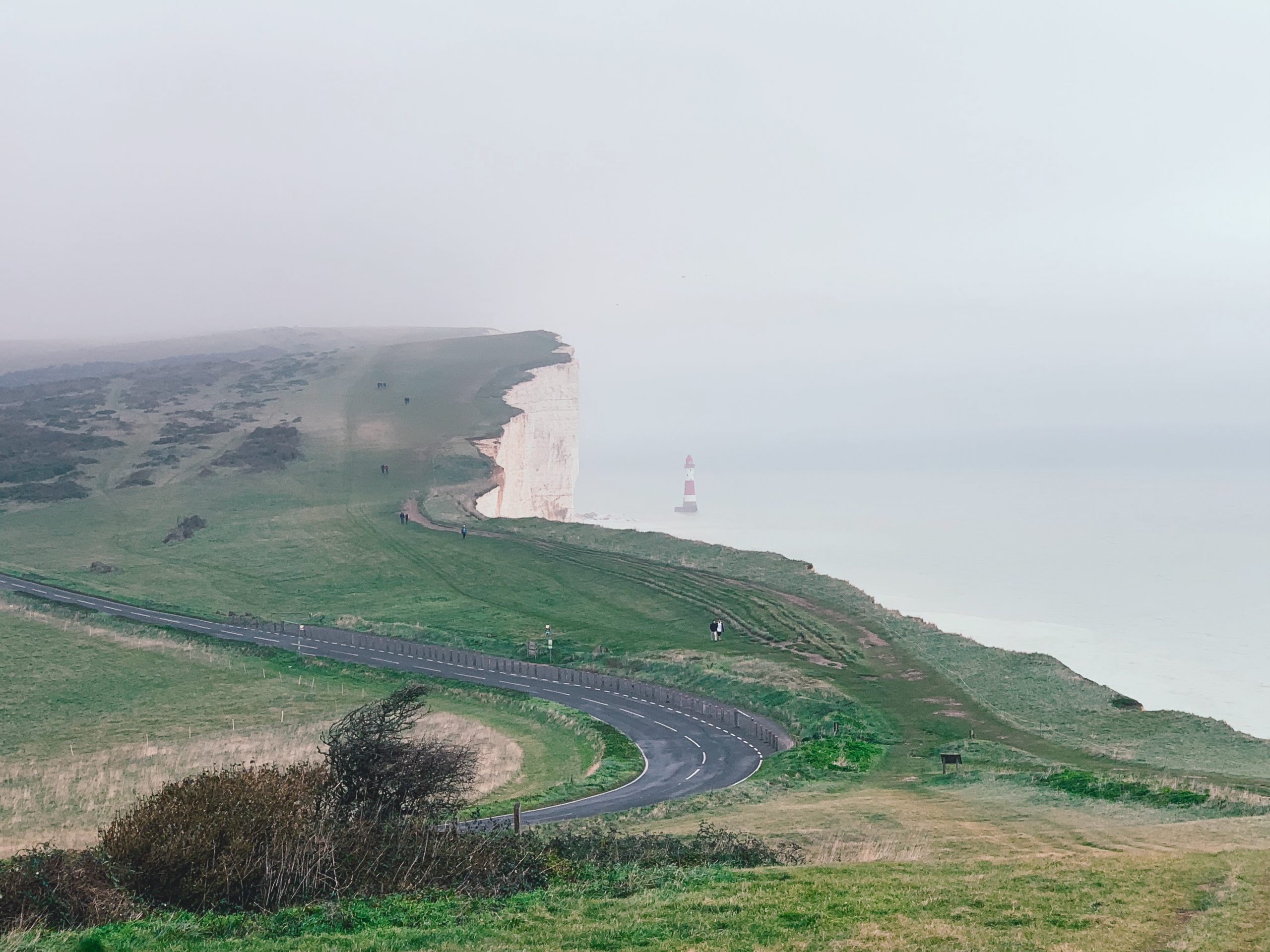
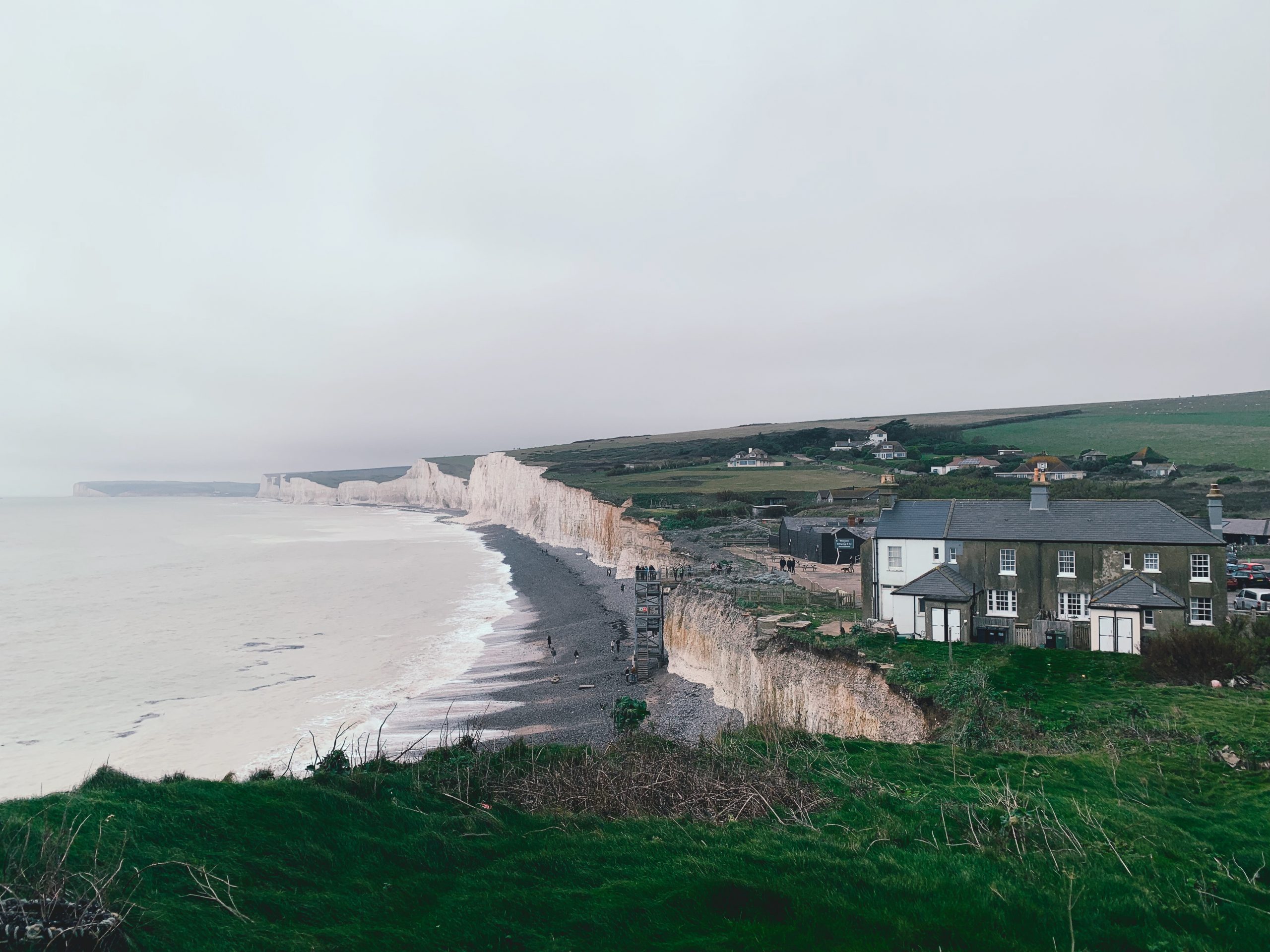
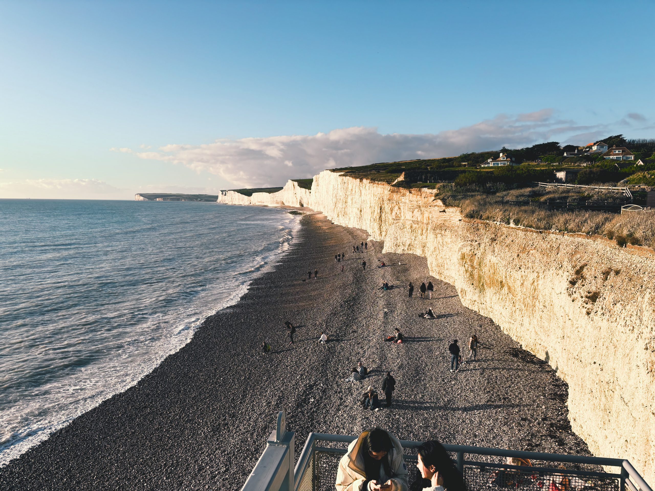
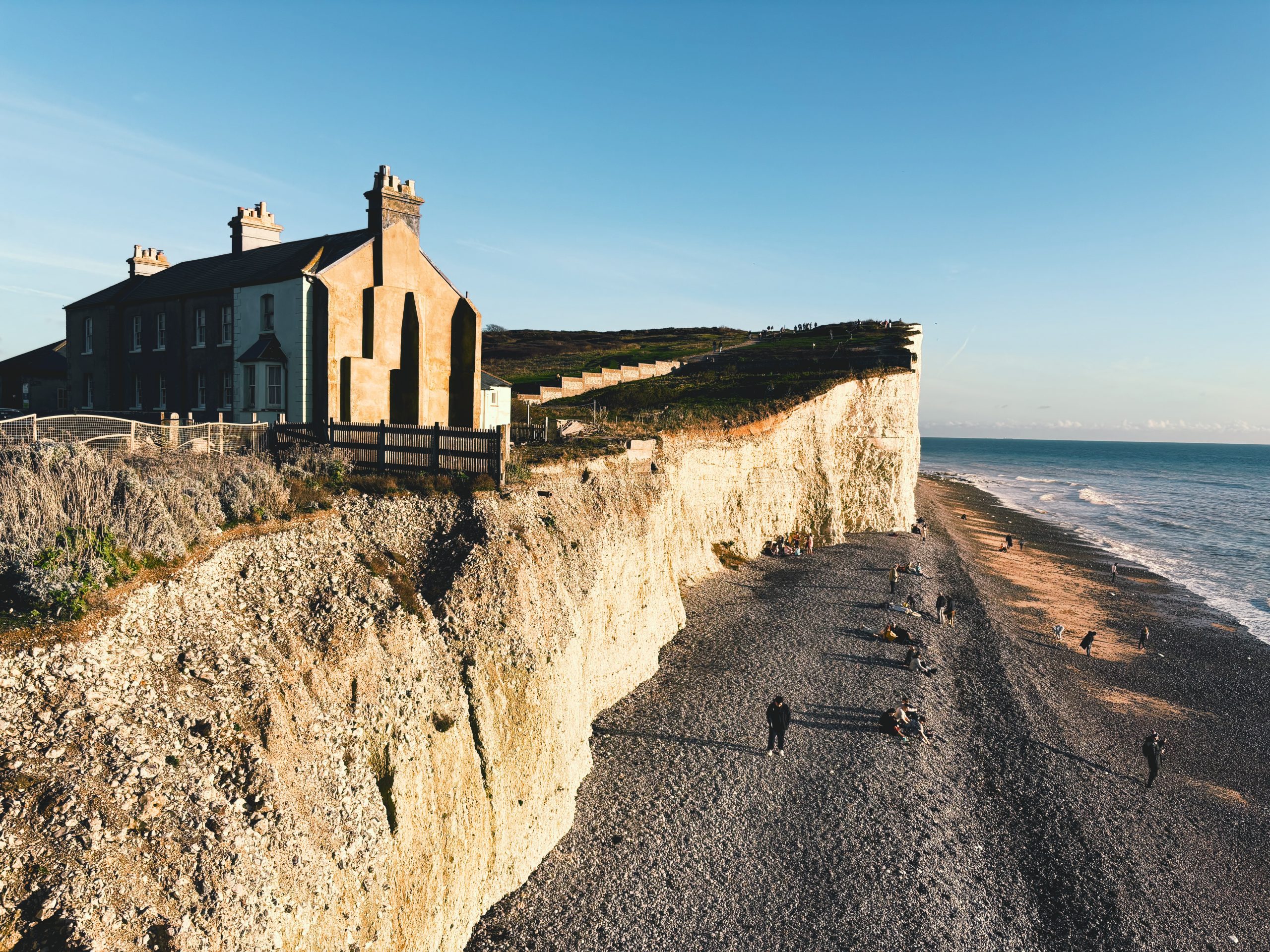
NO. 44 SEAFORD TO BEACHY HEAD (10mi)
No. 44 SEAFORD TO BEACHY HEAD
Distance: 10 Miles / 16km
Duration: 3-4hrs
Elevation Gain: 910ft
Coastal: 95%
Forest: 0%
ABOUT
Walk from Beachy Head to Seaford along the stunning South Downs coastline. This 10-mile (16 km) route takes 3-4 hours to complete. The path is 95% coastal, offering breathtaking views of the English Channel and dramatic cliffs, with 0% forested sections. The terrain features 910 ft of ascent and 870 ft of descent, making it a moderately challenging hike with steep climbs and descents.
Start your journey by taking a train from London Victoria to Seaford (approx. 1 hour 25 minutes), then transfer to bus No. 12A to reach Beachy Head. For the return, catch a train from Eastbourne back to London Victoria. Buy return tickets to Eastbourne.
This walk is perfect for those looking to experience the natural beauty of the Sussex coastline, with panoramic views and opportunities to see local wildlife. The route is well-marked and ideal for experienced walkers, best enjoyed in spring or autumn when the weather is mild and the scenery is at its most vibrant.
RATING
Panoramic Views ★★★★★
Distance ★★★☆☆
Climbing ★★★★☆
Variation ★★★★☆
Forest ☆☆☆☆☆
Coast ★★★★★
ROUTE PREVIEW
View Route in Google Maps
Download .gpx file for Komoot or Strava
TRANSPORT
Route to Beachy Head
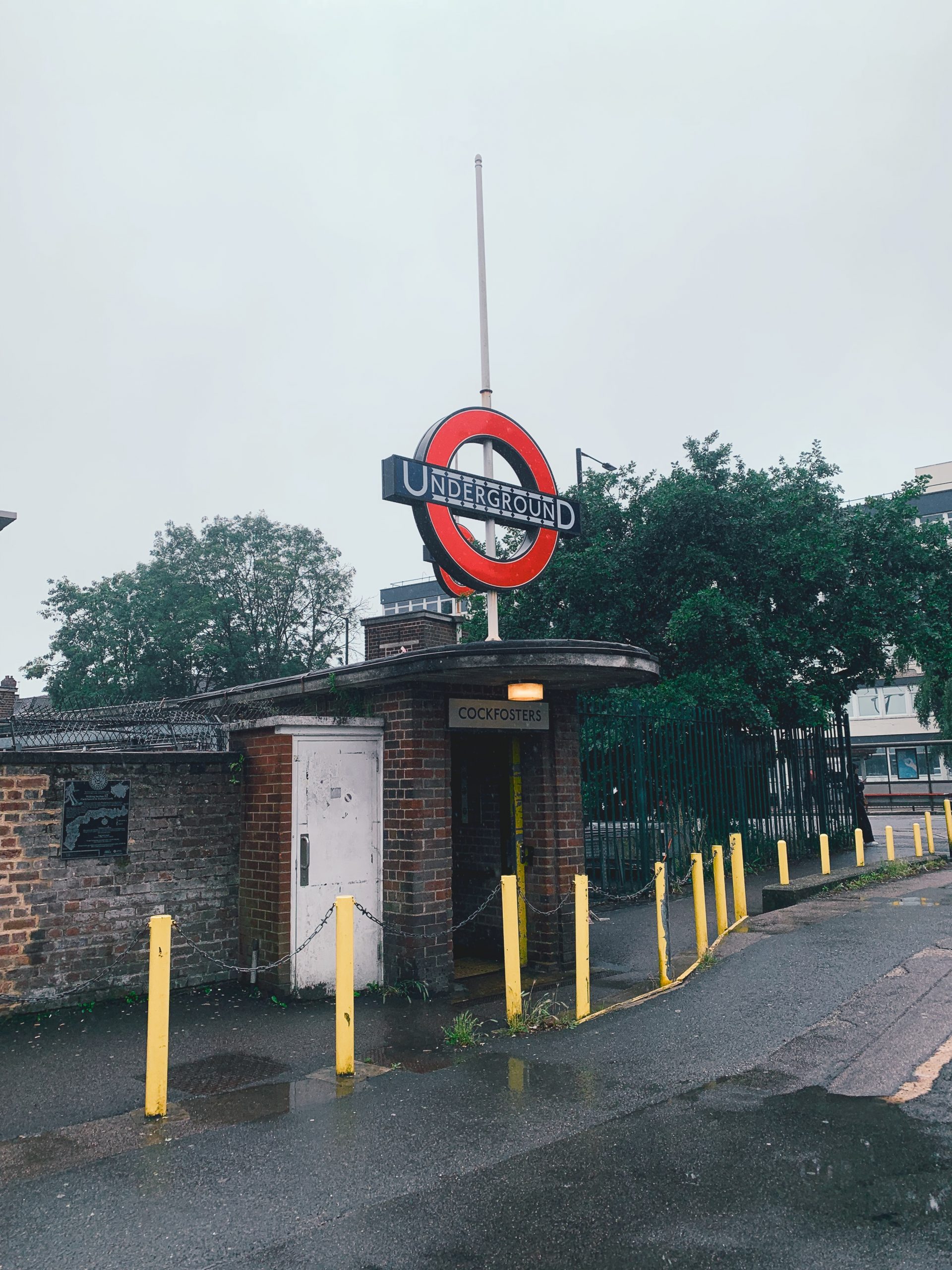
NO. 45 COCKFOSTERS TO CHESHUNT (10mi)
No. 45 COCKFOSTERS TO CHESHUNT
Distance: 10 Miles / 16km
Duration: 3-4hrs
Elevation Gain: 625ft
Coastal: 0%
Forest: 5%
ABOUT
Walk from Cheshunt to Cockfosters through the scenic landscapes of Hertfordshire and Enfield. This 10-mile (16 km) route takes 3-4 hours to complete. The path is 0% coastal and 5% forested, primarily traversing open fields and quiet suburban areas. The terrain features 625 ft of ascent and 375 ft of descent, making it a moderately easy walk with some gentle hills.
Start your journey by taking the Tube from London King’s Cross St Pancras to Cockfosters (approx. 36 minutes), then transfer to bus No. 242 to reach Cheshunt. For the return, catch a train from Cheshunt to London Liverpool Street. Buy return tickets to Cheshunt.
This walk is ideal for those looking to enjoy a mix of countryside and suburban scenery. The route offers a relaxing escape from the city, with well-marked paths and a variety of landscapes. It’s best enjoyed in spring or summer when the fields are vibrant and the weather is pleasant for walking.
RATING
Panoramic Views ★★★☆☆
Distance ★★★☆☆
Climbing ★★★☆☆
Variation ★★★☆☆
Forest ★★☆☆☆
Coast ☆☆☆☆☆
ROUTE PREVIEW
View Route in Google Maps
Download .gpx file for Komoot or Strava
TRANSPORT
Route to Cheshunt
NO. 46 WYE TO HYTHE (11mi)
No. 46 WYE TO HYTHE
Distance: 11 Miles / 18km
Duration: 4-5hrs
Elevation Gain: 1,025ft
Coastal: 0%
Forest: 15%
ABOUT
Walk from Hythe to Wye, exploring the beautiful landscapes of Kent. This 11-mile (18 km) route takes 4-5 hours to complete. The path is 0% coastal and 15% forested, primarily traversing open fields and rolling hills. The terrain features 1,025 ft of ascent and 750 ft of descent, making it a moderately challenging hike with some steep sections and gentle slopes.
Start your journey by taking a train from London St Pancras International to Wye (approx. 1 hour 23 minutes), then transfer to bus No. 18 to reach Etchinghill. For the return, catch a train from Folkestone West back to London St Pancras International. Buy return tickets to Folkestone West.
This walk is ideal for those looking to enjoy the picturesque Kent countryside, with scenic views and a peaceful atmosphere. The route is well-marked and offers a variety of landscapes, including open fields and quaint villages. It’s best enjoyed in spring or autumn, when the scenery is particularly vibrant and the weather is pleasant for walking.
RATING
Panoramic Views ★★★★☆
Distance ★★★★☆
Climbing ★★★★☆
Variation ★★★★☆
Forest ★☆☆☆☆
Coast ★☆☆☆☆
ROUTE PREVIEW
View Route in Google Maps
Download .gpx file for Komoot or Strava
TRANSPORT
Route to Hythe
NO. 47 CHILHAM TO CANTERBURY (7mi)
No. 47 CHILHAM TO CANTERBURY
Distance: 7 Miles / 11km
Duration: 2-3hrs
Elevation Gain: 125ft
Coastal: 0%
Forest: 0%
ABOUT
Walk from Chilham to Canterbury through the scenic landscapes of Kent. This 7-mile (11 km) route takes 2-3 hours to complete. The path is 0% coastal and 0% forested, primarily following quiet country lanes and open fields. The terrain features gentle elevation changes with 125 ft of ascent and 175 ft of descent, making it an easy to moderately challenging walk.
Start your journey by taking a train from London St Pancras International to Chilham (approx. 1 hour 22 minutes). For the return, catch a train from Canterbury West back to London St Pancras International. Buy return tickets to Canterbury West.
This walk is ideal for those looking to experience the charm of the Kent countryside, with opportunities to explore historic villages and enjoy the pastoral scenery. The route is suitable for walkers of all levels and can be particularly enjoyable in spring or summer when the fields are lush and the weather is pleasant for walking.
RATING
Panoramic Views ★★★☆☆
Distance ★★☆☆☆
Climbing ★☆☆☆☆
Variation ★★★☆☆
Forest ☆☆☆☆☆
Coast ☆☆☆☆☆
ROUTE PREVIEW
View Route in Google Maps
Download .gpx file for Komoot or Strava
TRANSPORT
Route to Chilham
NO. 48 TRING LOOP (9mi)
No. 48 TRING LOOP
Distance: 9 Miles / 14km
Duration: 3-4hrs
Elevation Gain: 1,050ft
Coastal: 0%
Forest: 55%
ABOUT
Walk from Tring to the surrounding countryside, exploring the scenic landscapes of Hertfordshire. This 9-mile (14 km) route takes 3-4 hours to complete. The path is 0% coastal and 55% forested, featuring a mix of open fields and wooded areas. The terrain includes 1,050 ft of ascent and 1,025 ft of descent, making it a moderately challenging hike with some varied elevation.
Start your journey by taking a train from London Euston to Tring (approx. 42 minutes). For the return, catch a train from Tring back to London Euston. Buy return tickets to Tring.
This walk is perfect for those looking to immerse themselves in the beautiful Hertfordshire countryside. The route offers opportunities to explore tranquil woods, rolling hills, and picturesque landscapes. It’s best enjoyed in spring or autumn when the natural beauty of the area is at its peak, making it a rewarding day out in nature.
RATING
Panoramic Views ★★★☆☆
Distance ★★★☆☆
Climbing ★★★★☆
Variation ★★★★☆
Forest ★★★☆☆
Coast ☆☆☆☆☆
ROUTE PREVIEW
View Route in Google Maps
Download .gpx file for Komoot or Strava
TRANSPORT
Route to Tring
NO. 49 WENDOVER TO SAUNDERTON (10mi)
No. 49 WENDOVER TO SAUNDERTON
Distance: 10 Miles / 16km
Duration: 3-4hrs
Elevation Gain: 1,125ft
Coastal: 0%
Forest: 40%
ABOUT
Walk from Wendover to Saunderton through the stunning Chiltern Hills. This 10-mile (16 km) route takes 3-4 hours to complete. The path is 0% coastal and 40% forested, primarily winding through open fields and scenic woodlands. The terrain includes 1,125 ft of ascent and 1,075 ft of descent, making it a moderately challenging hike with some steep sections.
Start your journey by taking a train from London Marylebone to Wendover (approx. 51 minutes). For the return, catch a train from Saunderton back to London Marylebone. Buy return tickets to Saunderton.
This walk is ideal for those looking to experience the natural beauty of the Chilterns, offering panoramic views and peaceful trails. The route provides a mix of shaded paths and open hills, making it a delightful choice for walkers of all levels. Best enjoyed in spring or autumn when the scenery is particularly vibrant and the weather is perfect for hiking.
RATING
Panoramic Views ★★★★☆
Distance ★★★☆☆
Climbing ★★★★☆
Variation ★★★★☆
Forest ★★★☆☆
Coast ☆☆☆☆☆
ROUTE PREVIEW
View Route in Google Maps
Download .gpx file for Komoot or Strava
TRANSPORT
Route to Wendover
NO. 50 COCKFOSTERS LOOP (6mi)
No. 50 COCKFOSTERS LOOP
Distance: 6 Miles / 10km
Duration: 2-3hrs
Elevation Gain: 350ft
Coastal: 0%
Forest: 75%
ABOUT
Walk from Cockfosters to the surrounding woodlands and green spaces of Barnet. This 6-mile (10 km) route takes 2-3 hours to complete. The path is 0% coastal and 75% forested, primarily traversing lush woodland areas and open fields. The terrain features a moderate elevation change with 350 ft of ascent and 375 ft of descent, making it an easy to moderately challenging walk.
Start your journey by taking the Tube from London King’s Cross St Pancras to Cockfosters (approx. 36 minutes). For the return, catch the Tube back to London King’s Cross St Pancras. Buy return Tube tickets to Cockfosters.
This walk is perfect for those looking to enjoy a peaceful day in nature, with ample opportunities to explore shaded trails and scenic views. The well-maintained paths are suitable for walkers of all levels, and the area is particularly delightful in spring or autumn when the forest is vibrant and full of life.
RATING
Panoramic Views ★★★☆☆
Distance ★★☆☆☆
Climbing ★★★☆☆
Variation ★★★☆☆
Forest ★★★★☆
Coast ☆☆☆☆☆
ROUTE PREVIEW
View Route in Google Maps
Download .gpx file for Komoot or Strava
TRANSPORT
Route to Cockfosters
NO. 51 PANGBOURNE TO NETTLEBED (11mi)
No. 51 PANGBOURNE TO NETTLEBED
Distance: 11 Miles / 18km
Duration: 4-5hrs
Elevation Gain: 950ft
Coastal: 0%
Forest: 35%
ABOUT
Walk from Nettlebed to Pangbourne through the beautiful landscapes of the Oxfordshire countryside. This 11-mile (18 km) route takes 4-5 hours to complete. The path is 0% coastal and 35% forested, offering a mix of tranquil woodlands and open fields. The terrain includes 950 ft of ascent and 450 ft of descent, making it a moderately challenging hike with some gentle climbs.
Start your journey by taking a train from London Paddington to Pangbourne (approx. 1 hour), then transfer to bus No. 143 to reach Nettlebed. For the return, catch a train from Pangbourne back to London Paddington. Buy return tickets to Pangbourne.
This walk is perfect for those looking to explore the scenic beauty of the Oxfordshire countryside, with picturesque views and opportunities to experience local wildlife. The route is well-marked and suitable for walkers of all levels, especially enjoyable in spring or autumn when the landscape is particularly vibrant and the weather is ideal for walking.
RATING
Panoramic Views ★★★☆☆
Distance ★★★★☆
Climbing ★★★☆☆
Variation ★★★☆☆
Forest ★★★☆☆
Coast ☆☆☆☆☆
ROUTE PREVIEW
View Route in Google Maps
Download .gpx file for Komoot or Strava
TRANSPORT
Route to Nettlebed
NO. 52 GREAT BEDWYN TO MARLBOROUGH (9mi)
No. 52 GREAT BEDWYN TO MARLBOROUGH
Distance: 9 Miles / 14km
Duration: 3-4hrs
Elevation Gain: 575ft
Coastal: 0%
Forest: 80%
ABOUT
Walk from Marlborough to Great Bedwyn through the picturesque landscapes of Wiltshire. This 9-mile (14 km) route takes 3-4 hours to complete. The path is 0% coastal and 80% forested, primarily navigating through lush woodlands and open fields. The terrain features 575 ft of ascent and 575 ft of descent, making it a moderately easy hike with some gentle inclines.
Start your journey by taking a train from London Paddington to Great Bedwyn (approx. 1 hour 18 minutes), then transfer to bus No. 20 to reach Marlborough. For the return, catch a train from Great Bedwyn back to London Paddington. Buy return tickets to Great Bedwyn.
This walk is ideal for those seeking a tranquil experience in the English countryside, with ample opportunities to enjoy the natural beauty and serenity of the woodlands. The route is well-maintained and suitable for walkers of all levels, especially enjoyable in spring or summer when the trees are in full leaf and the fields are vibrant.
RATING
Panoramic Views ★★★☆☆
Distance ★★★☆☆
Climbing ★★★☆☆
Variation ★★★☆☆
Forest ★★★★☆
Coast ☆☆☆☆☆
ROUTE PREVIEW
View Route in Google Maps
Download .gpx file for Komoot or Strava
TRANSPORT
Route to Marlborough
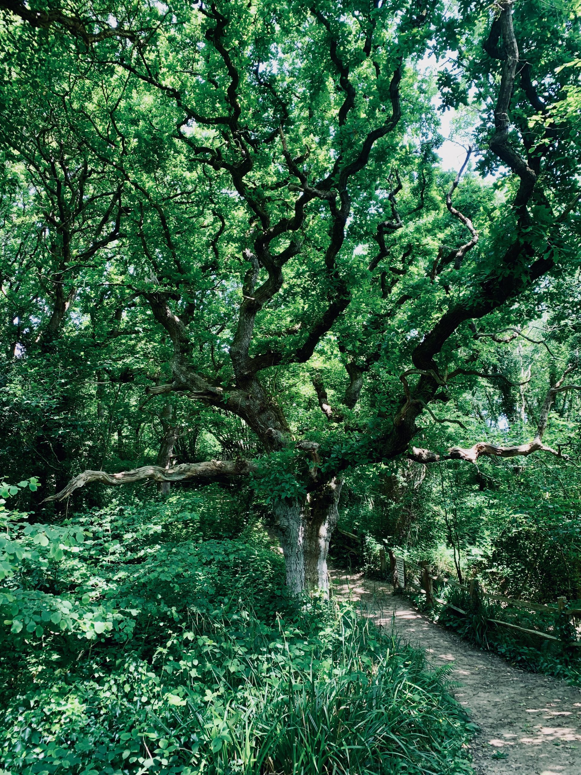
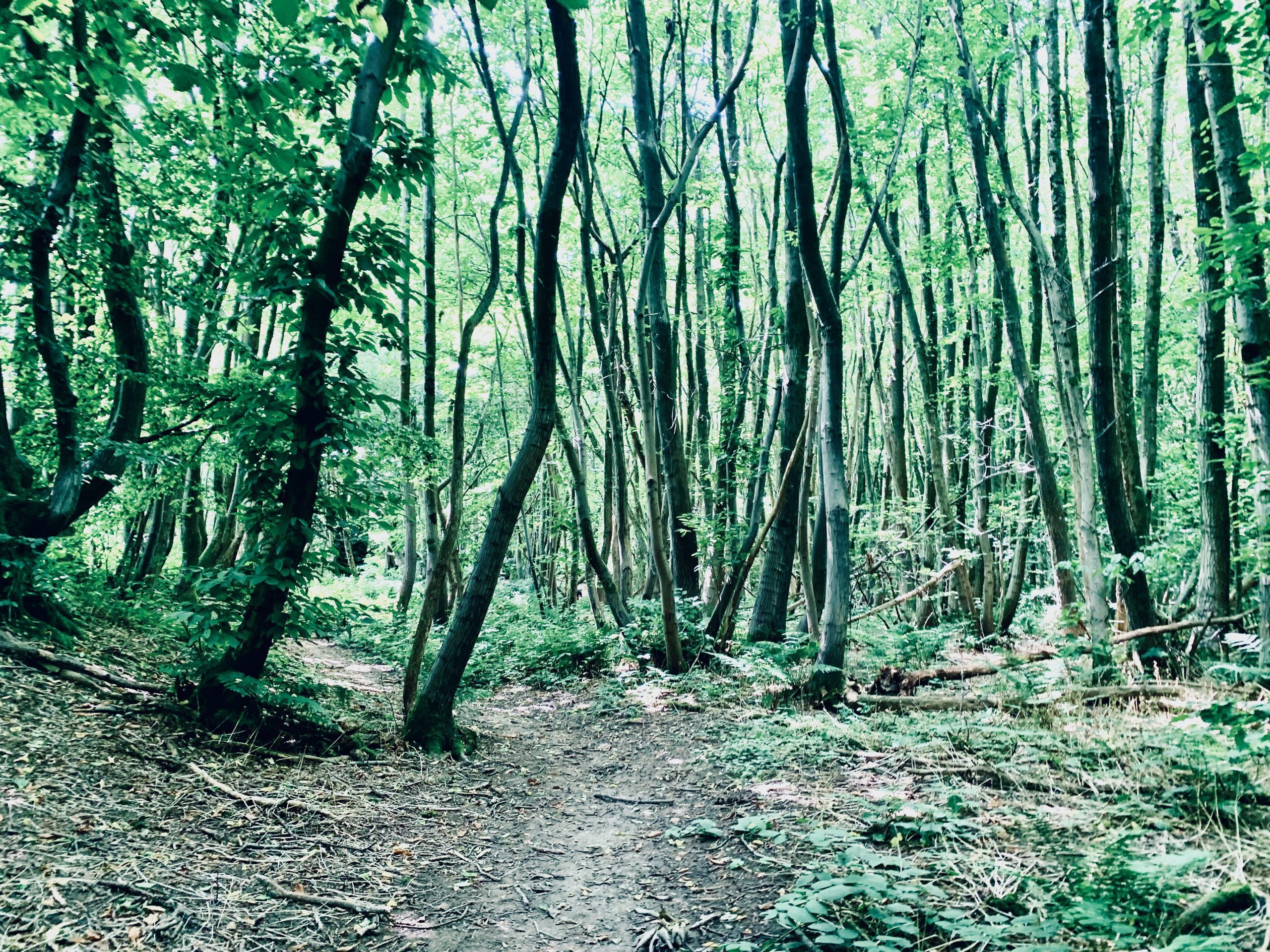
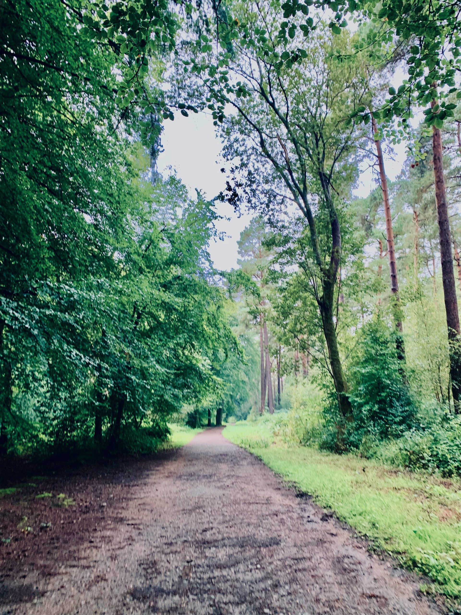
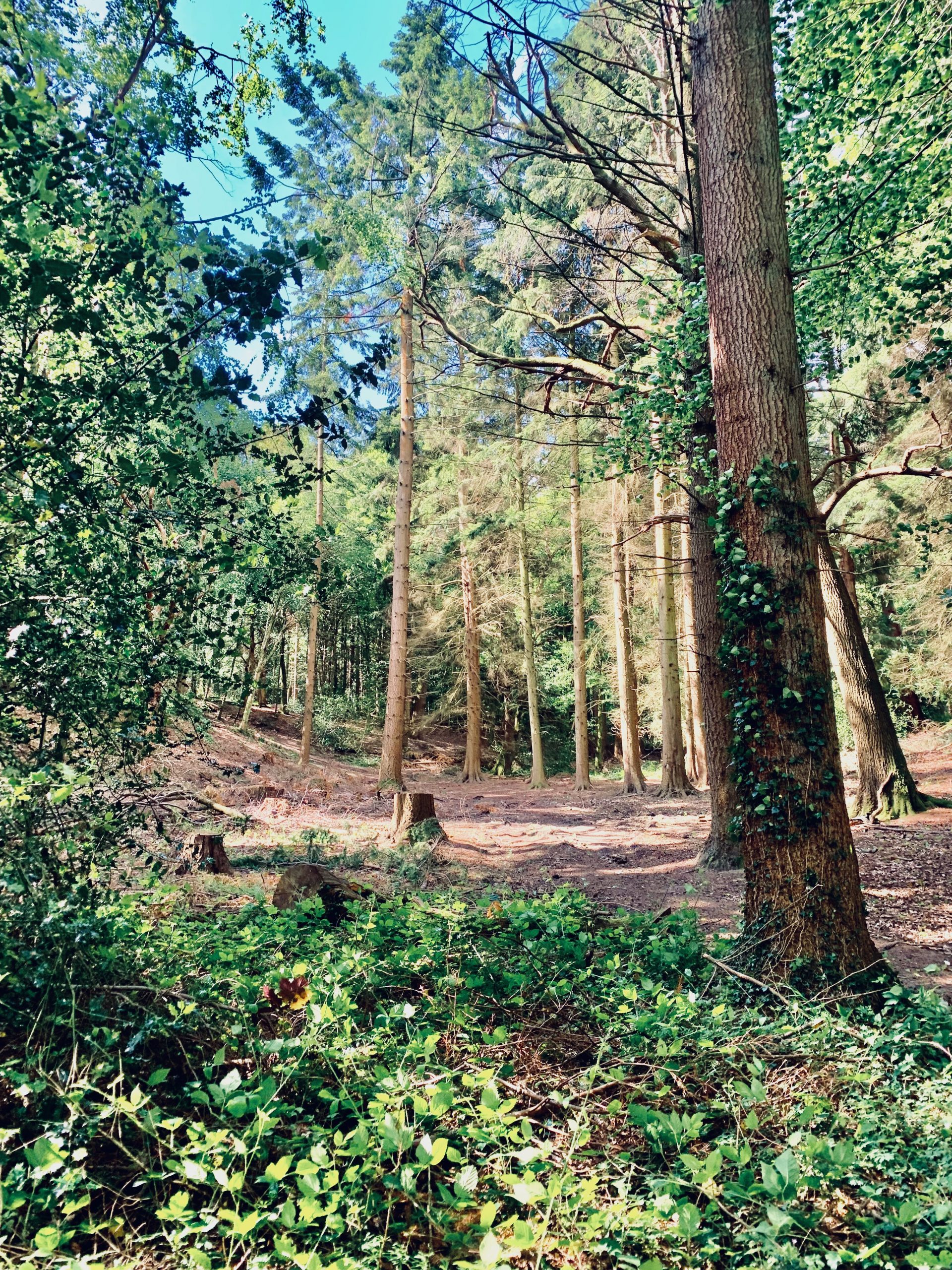
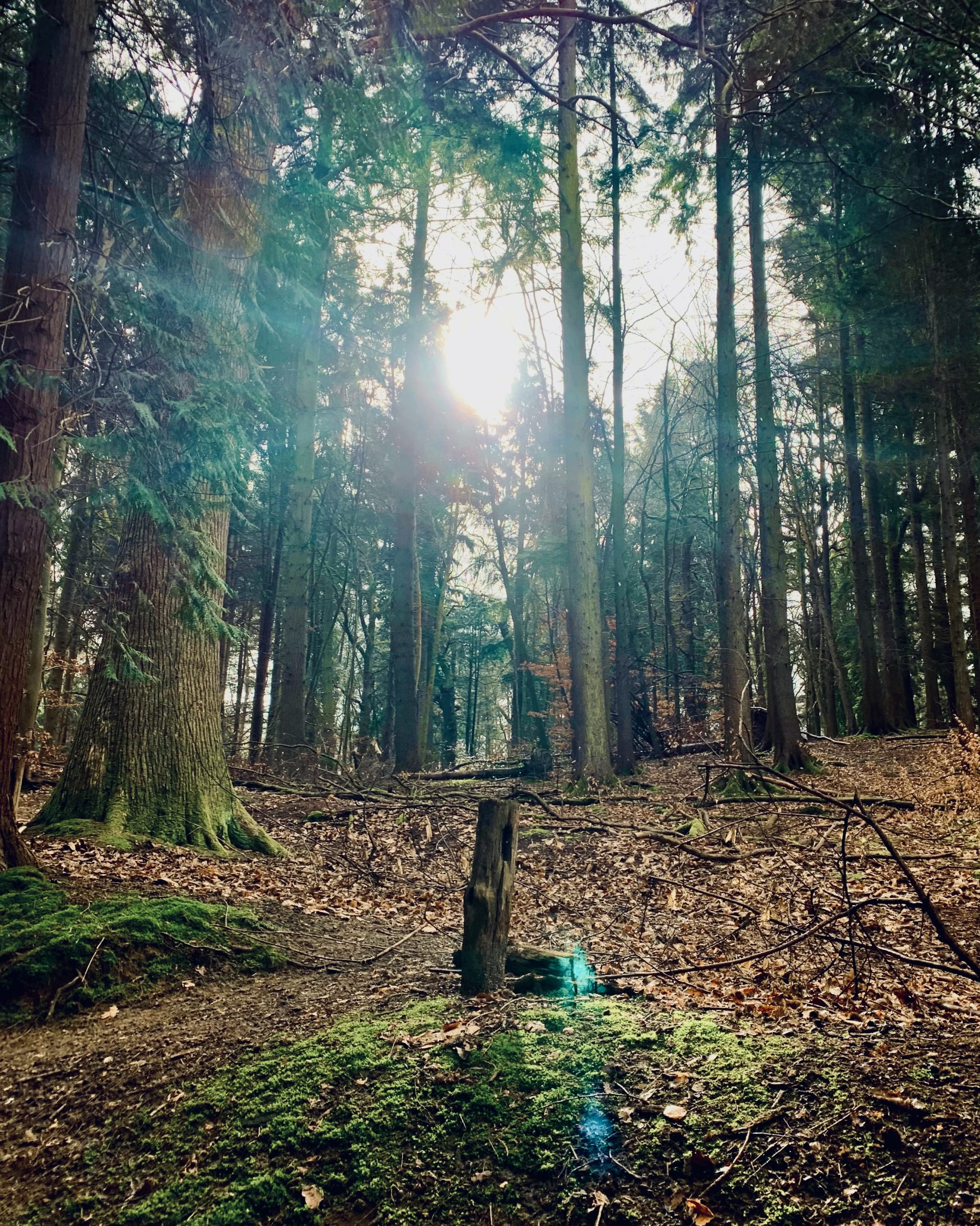
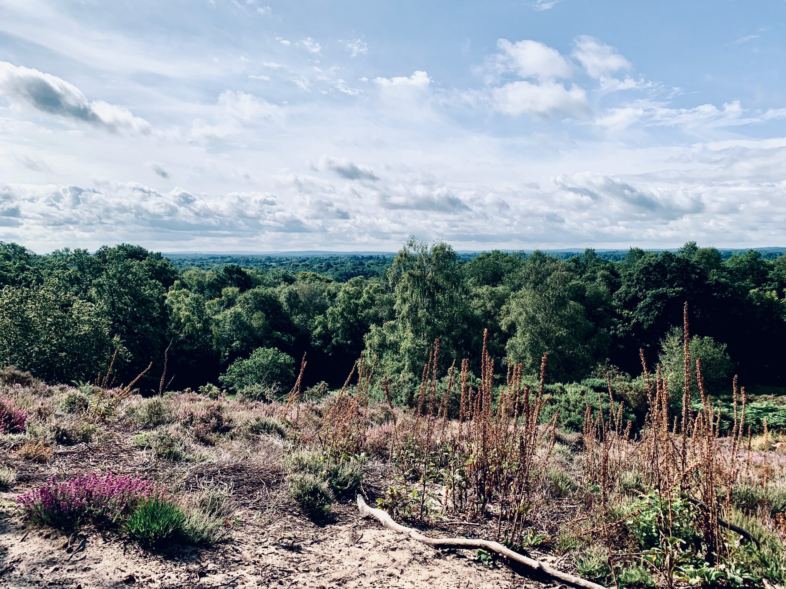
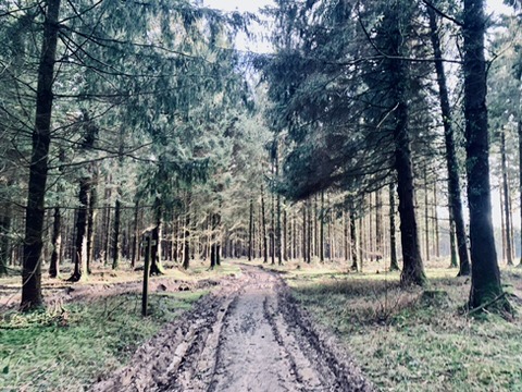
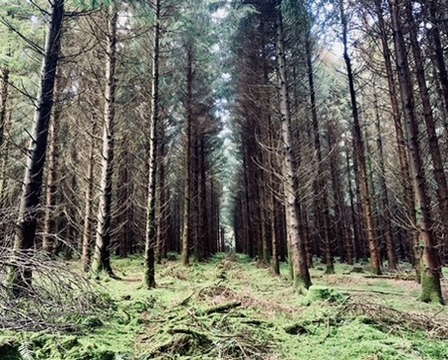
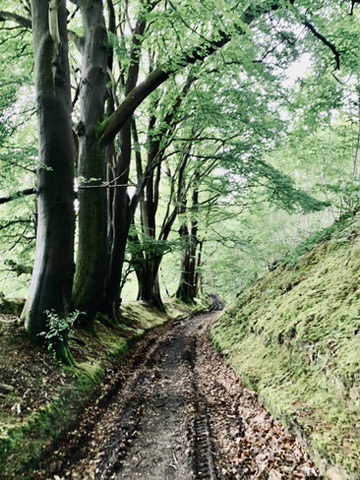
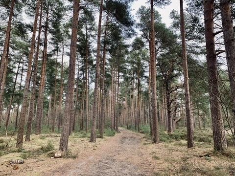
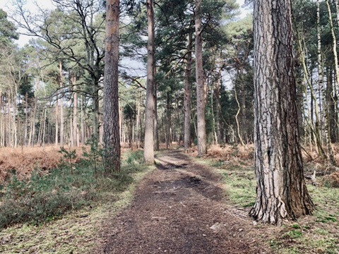
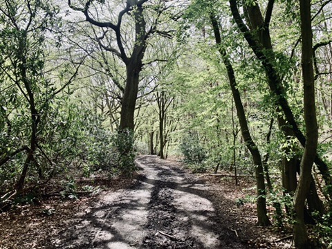
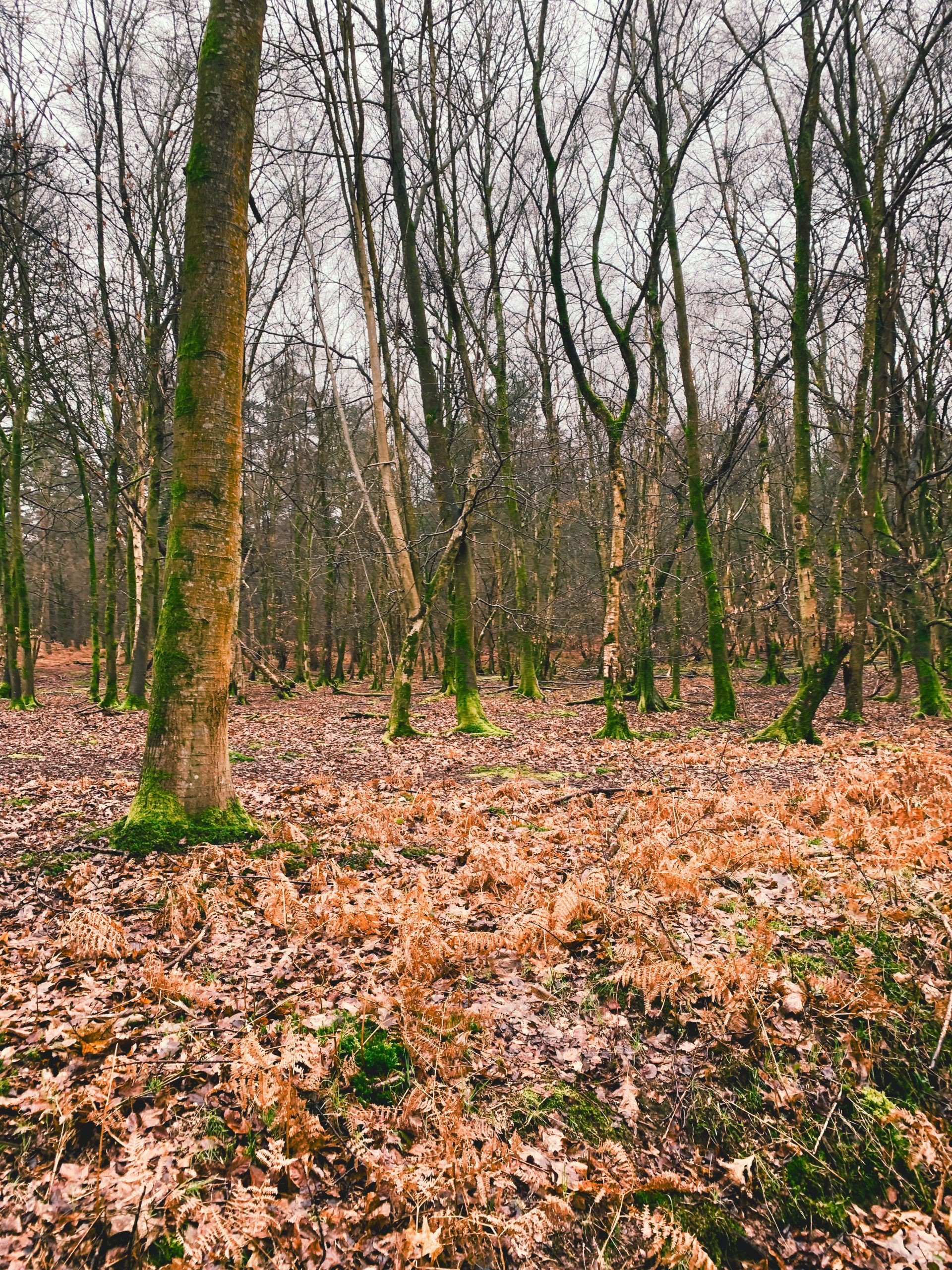
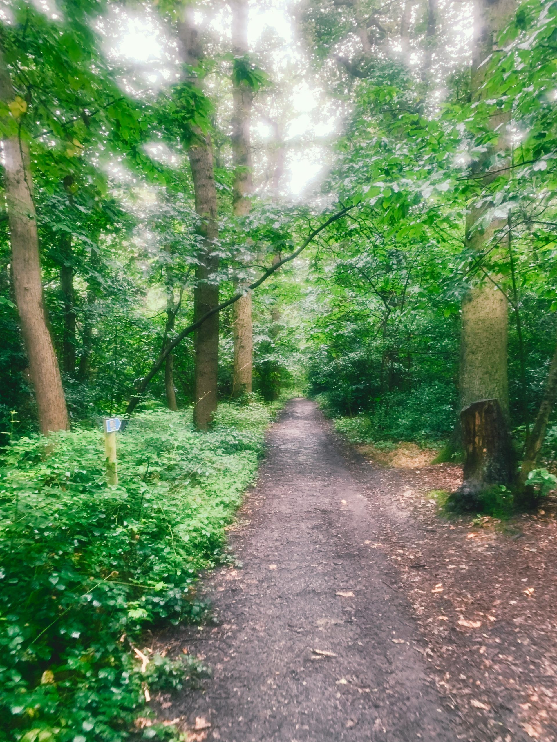
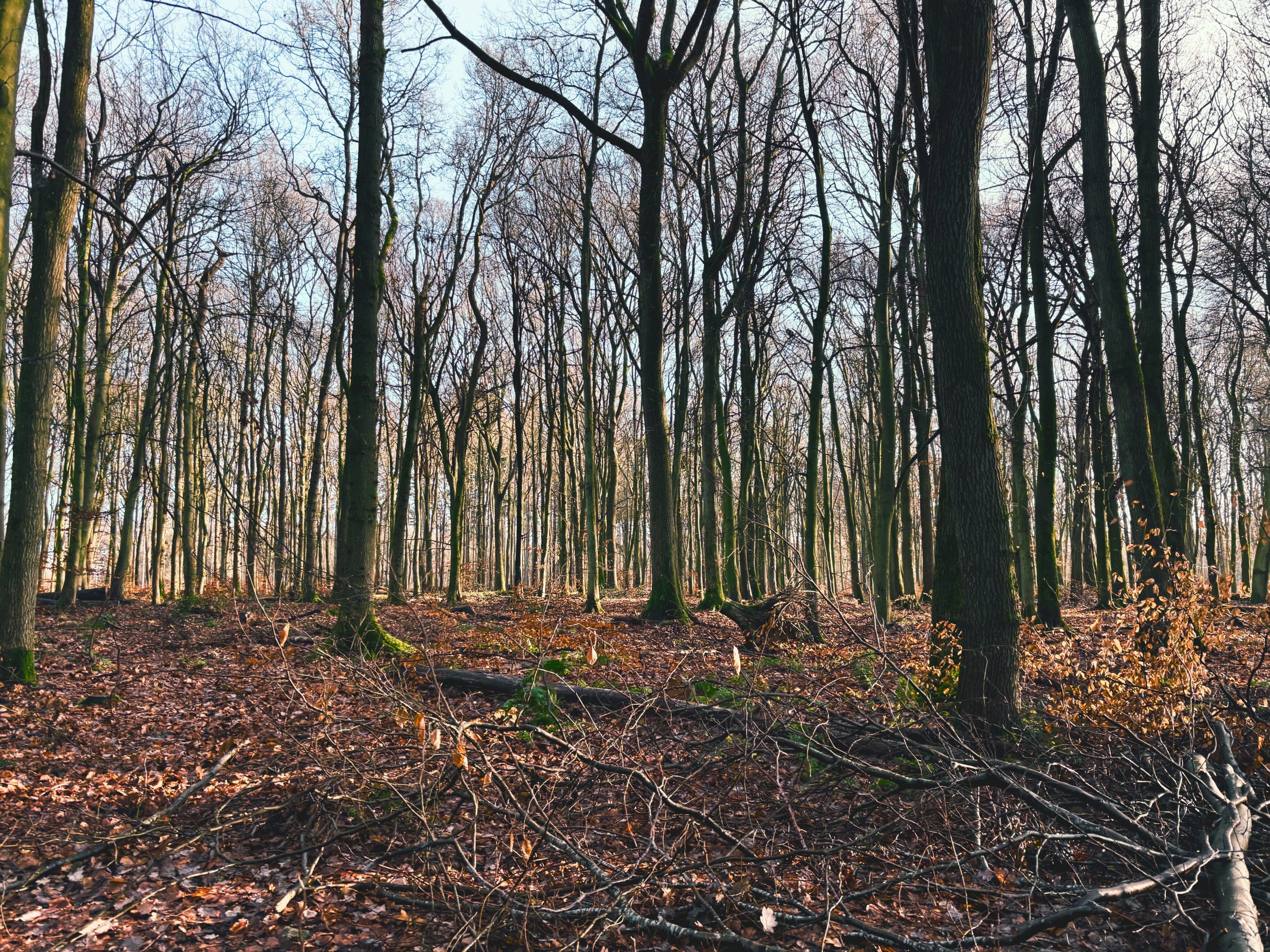
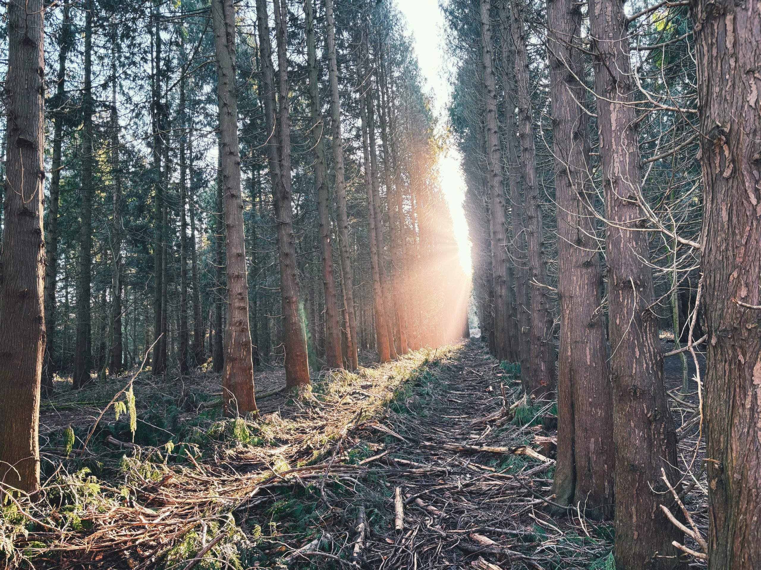
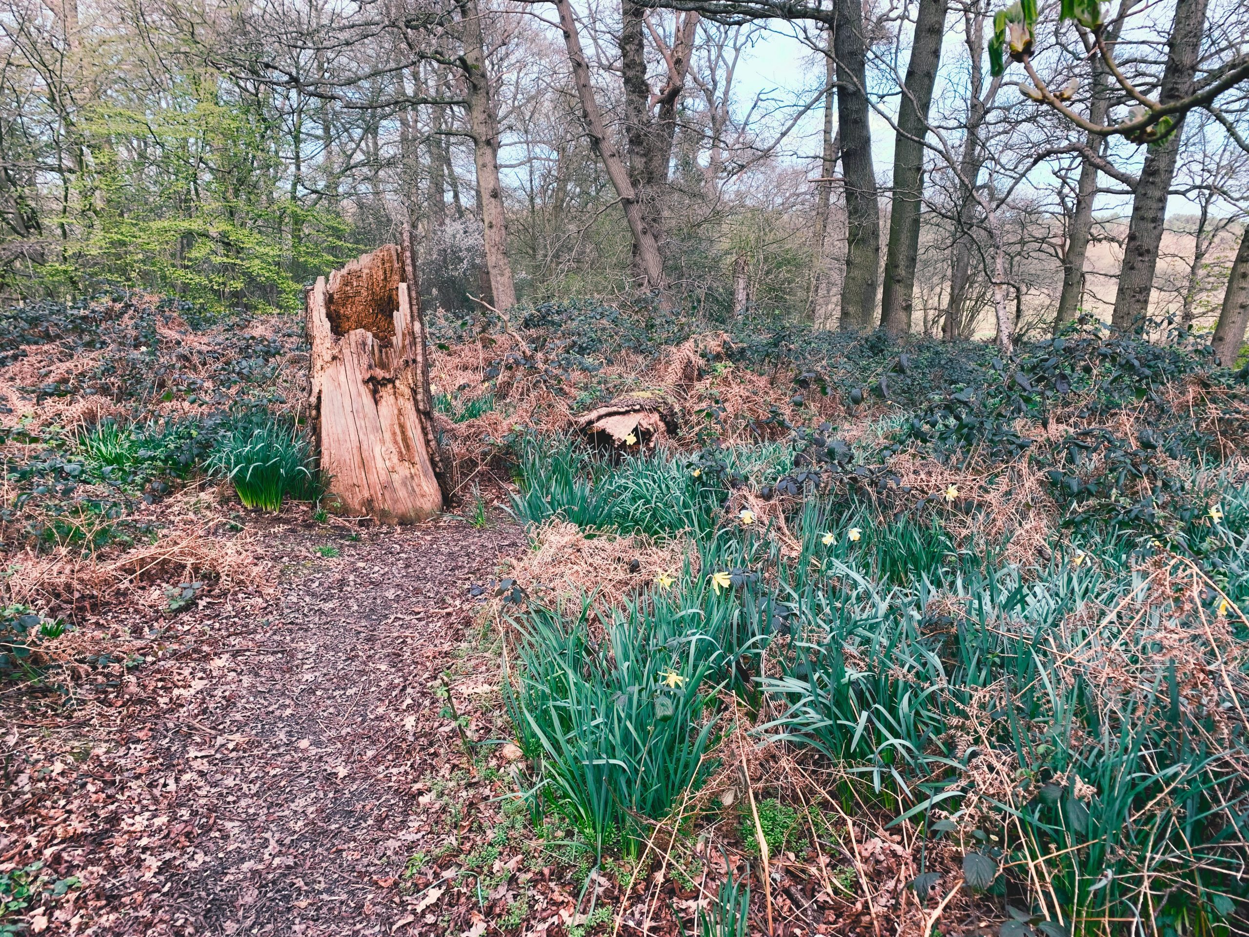
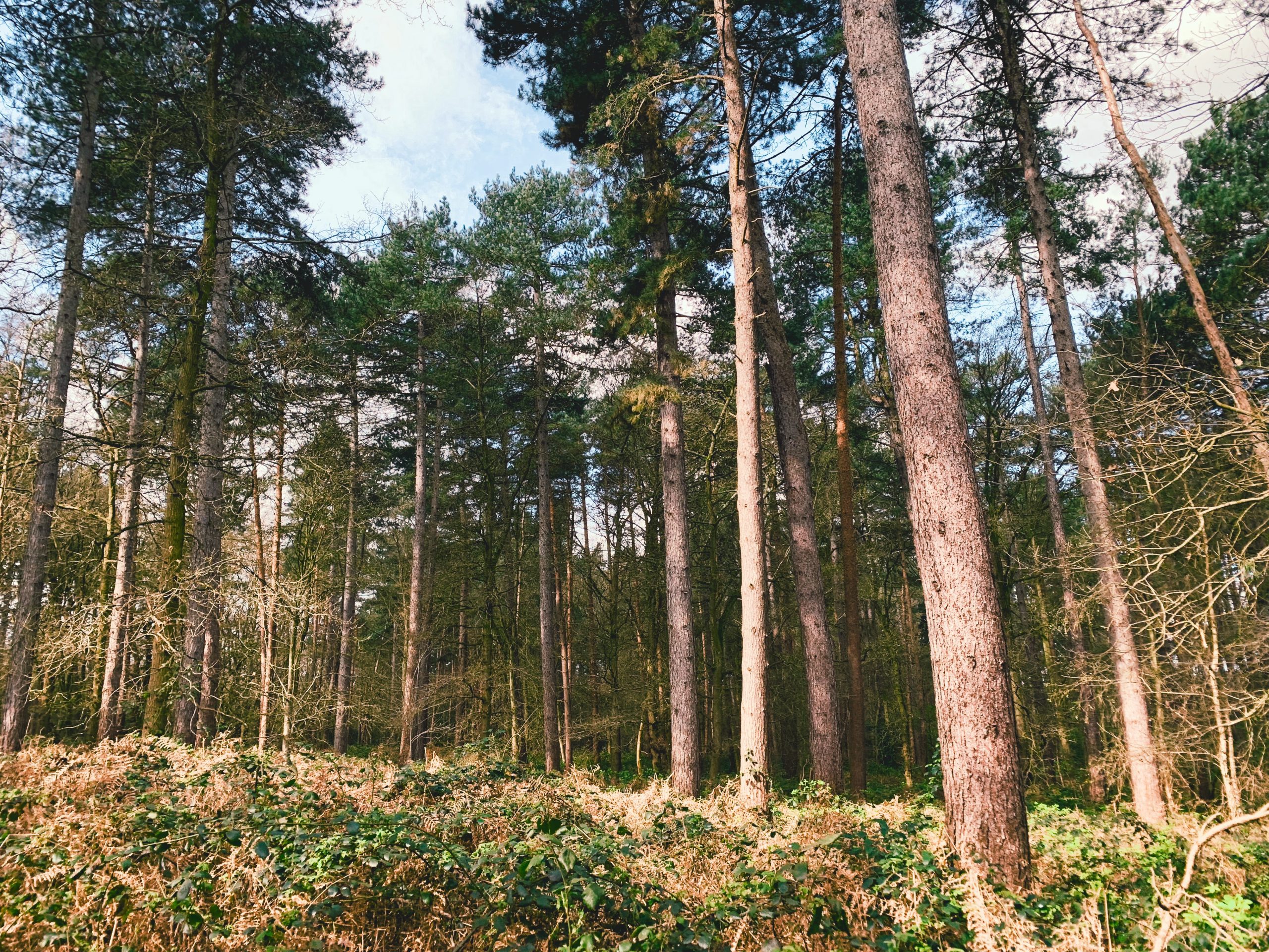
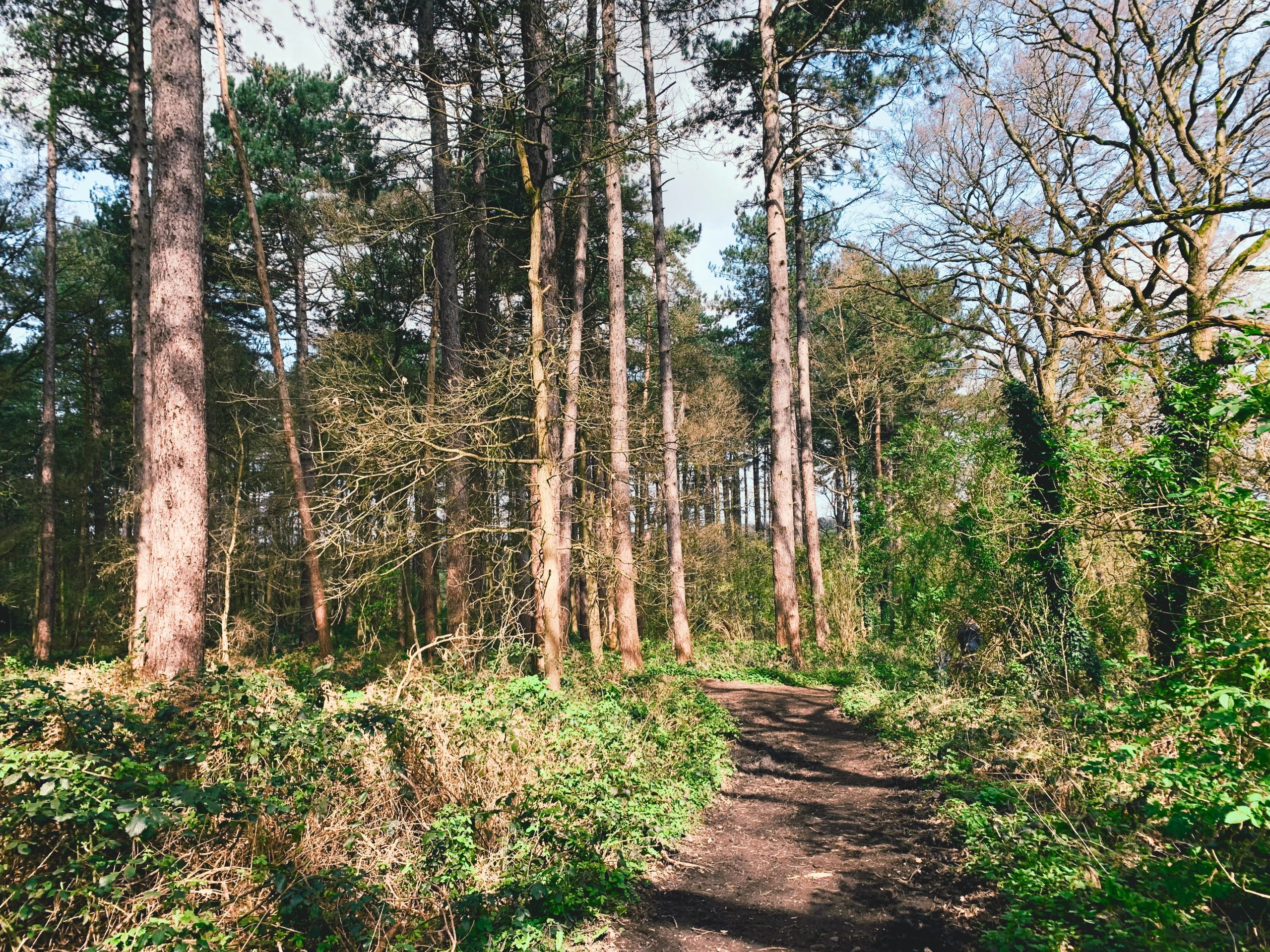
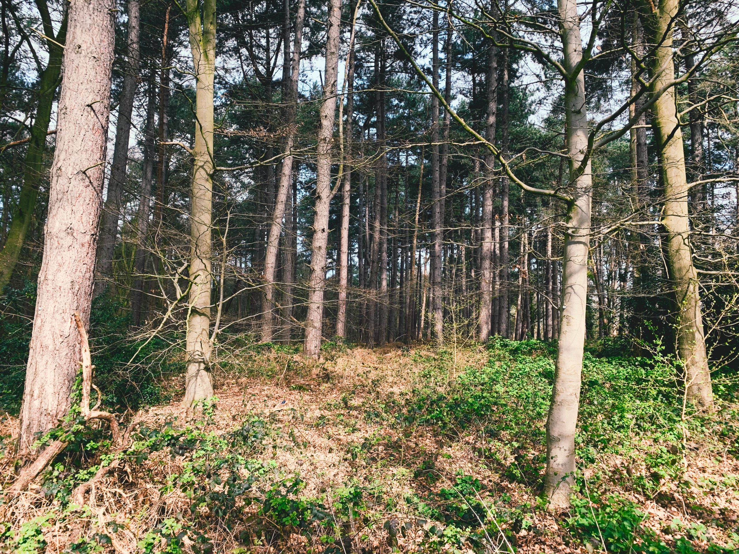
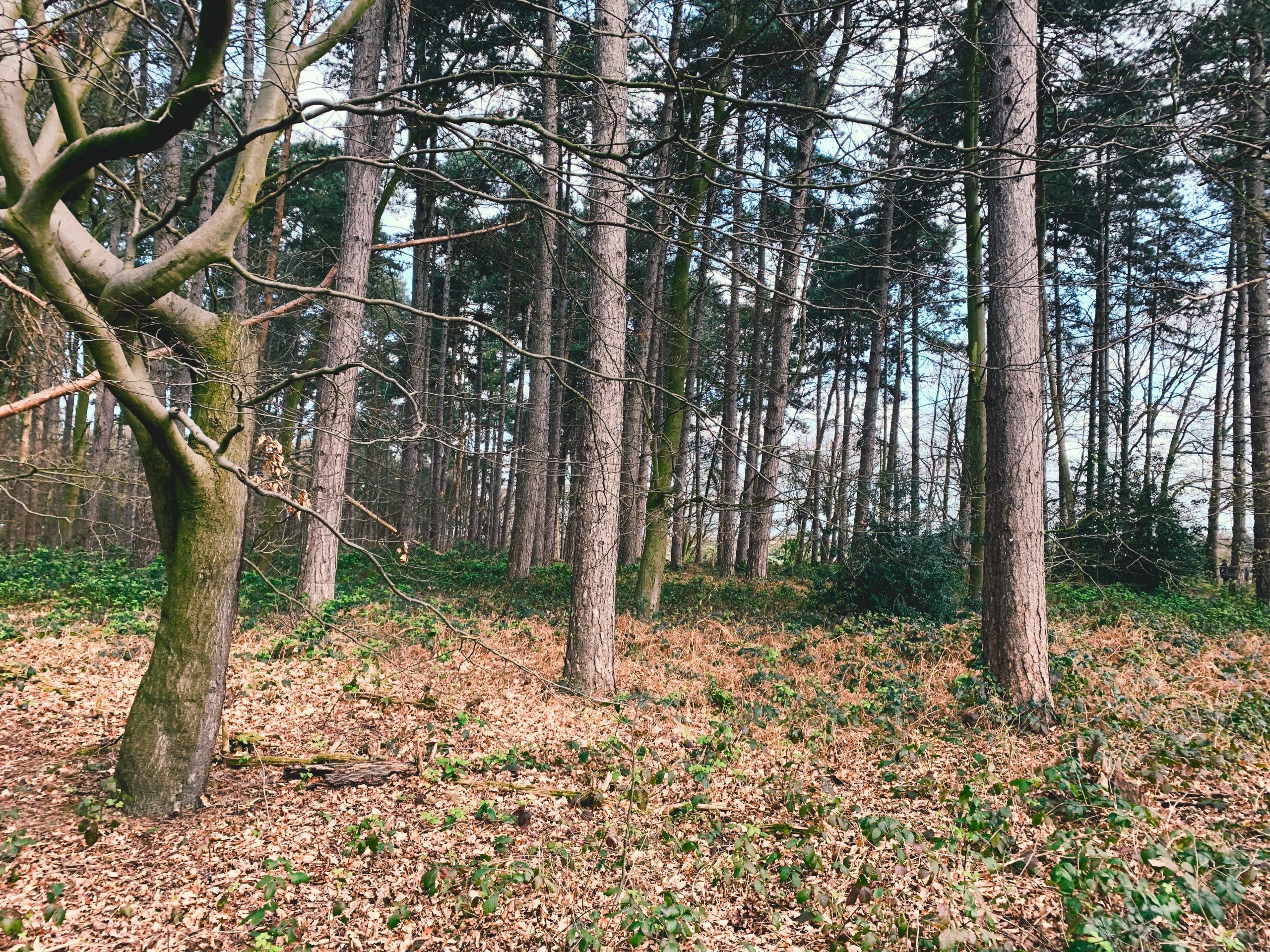
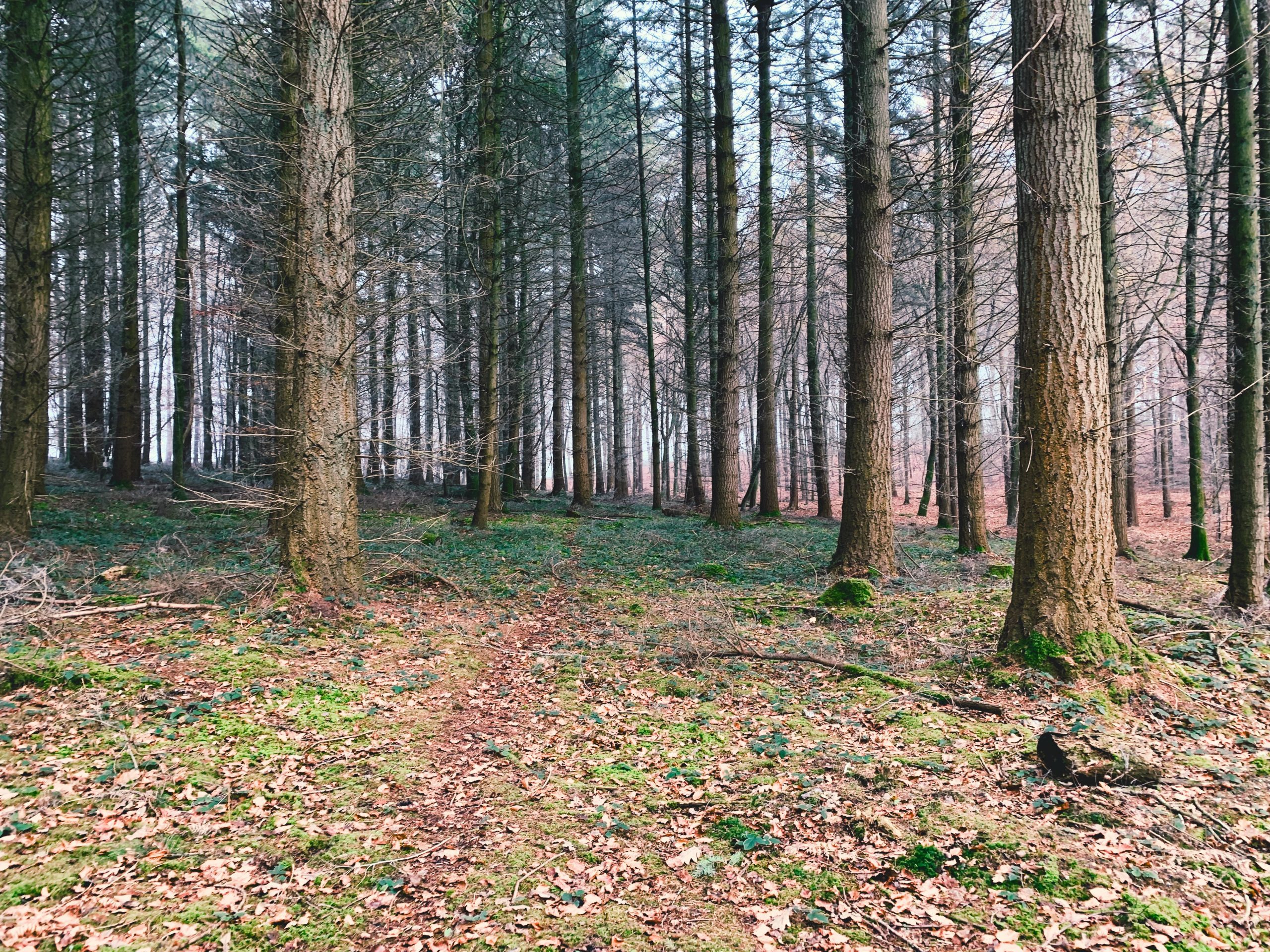
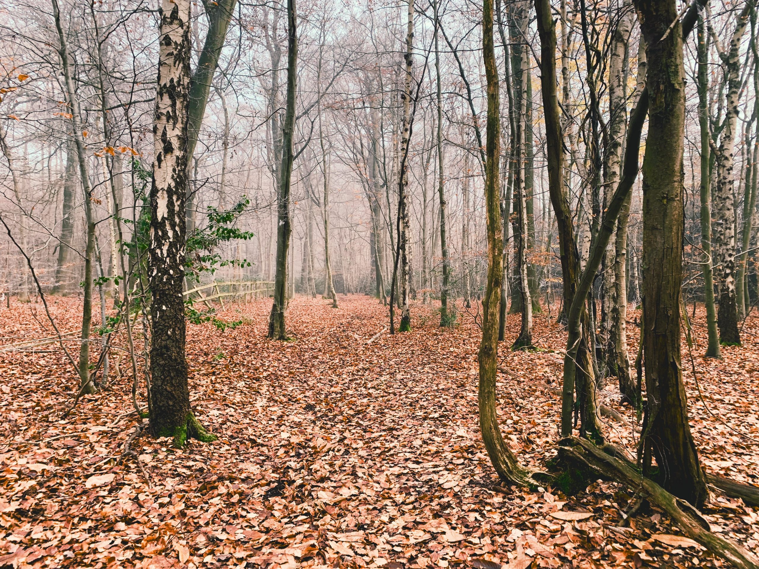
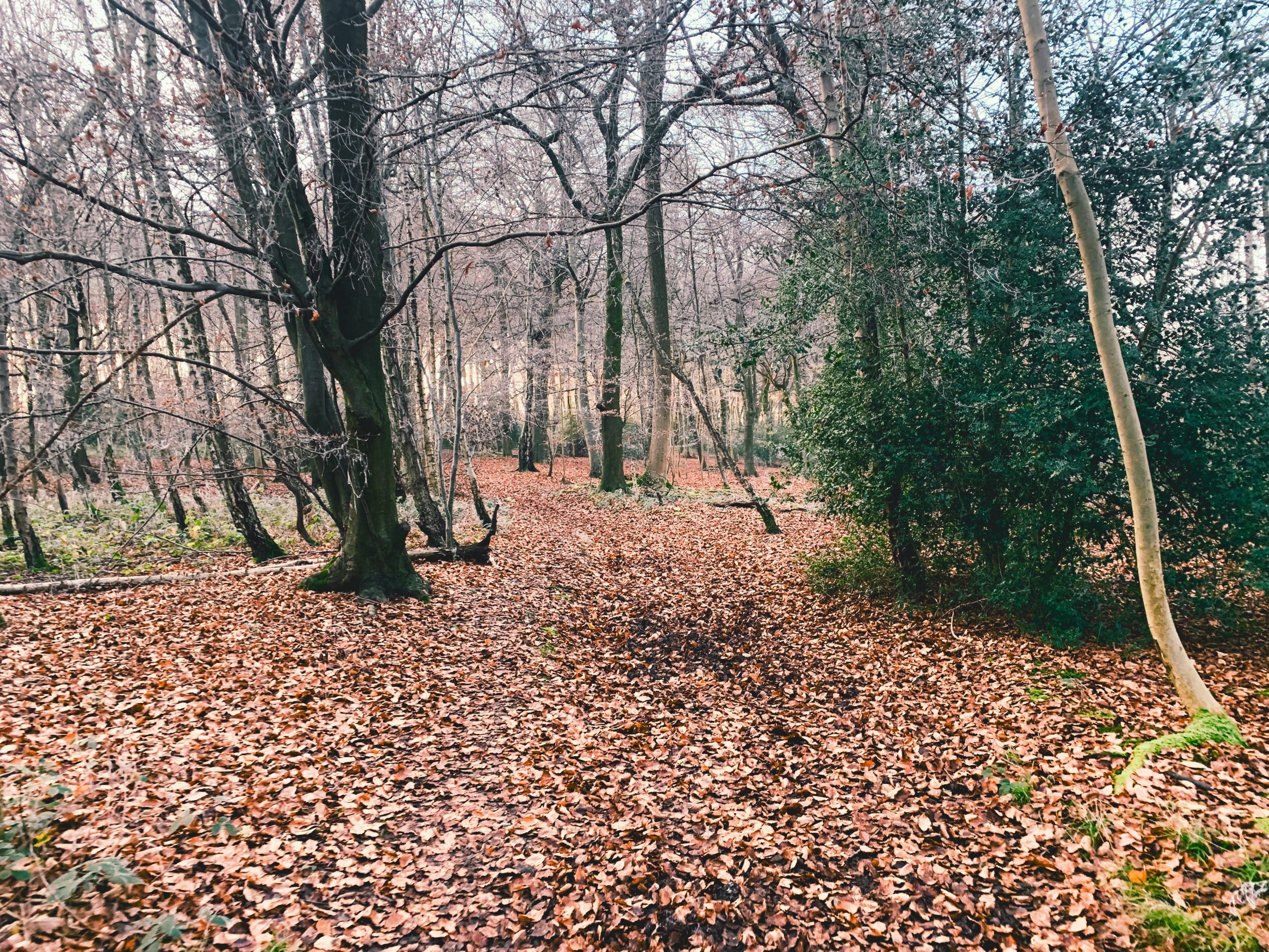
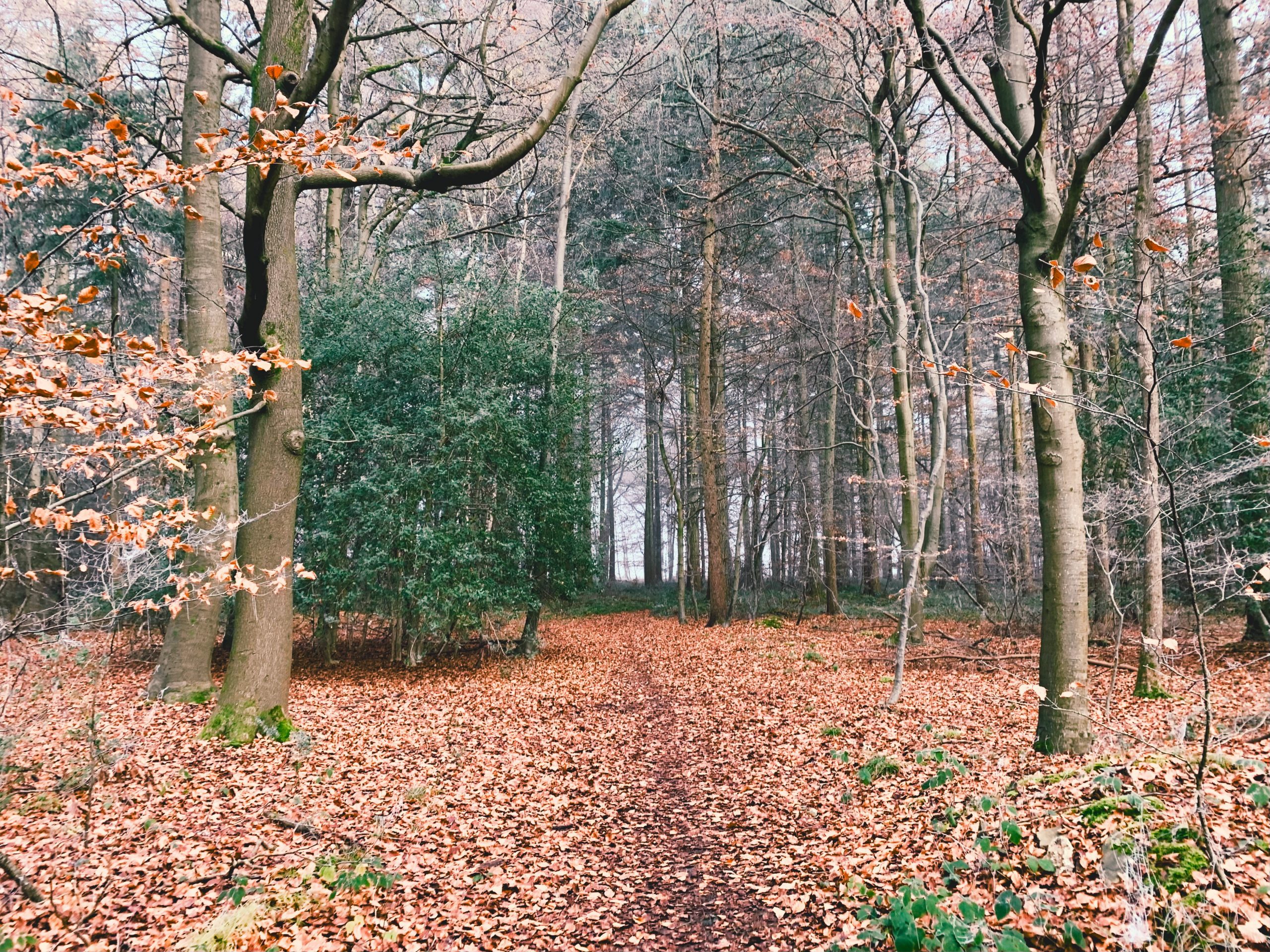
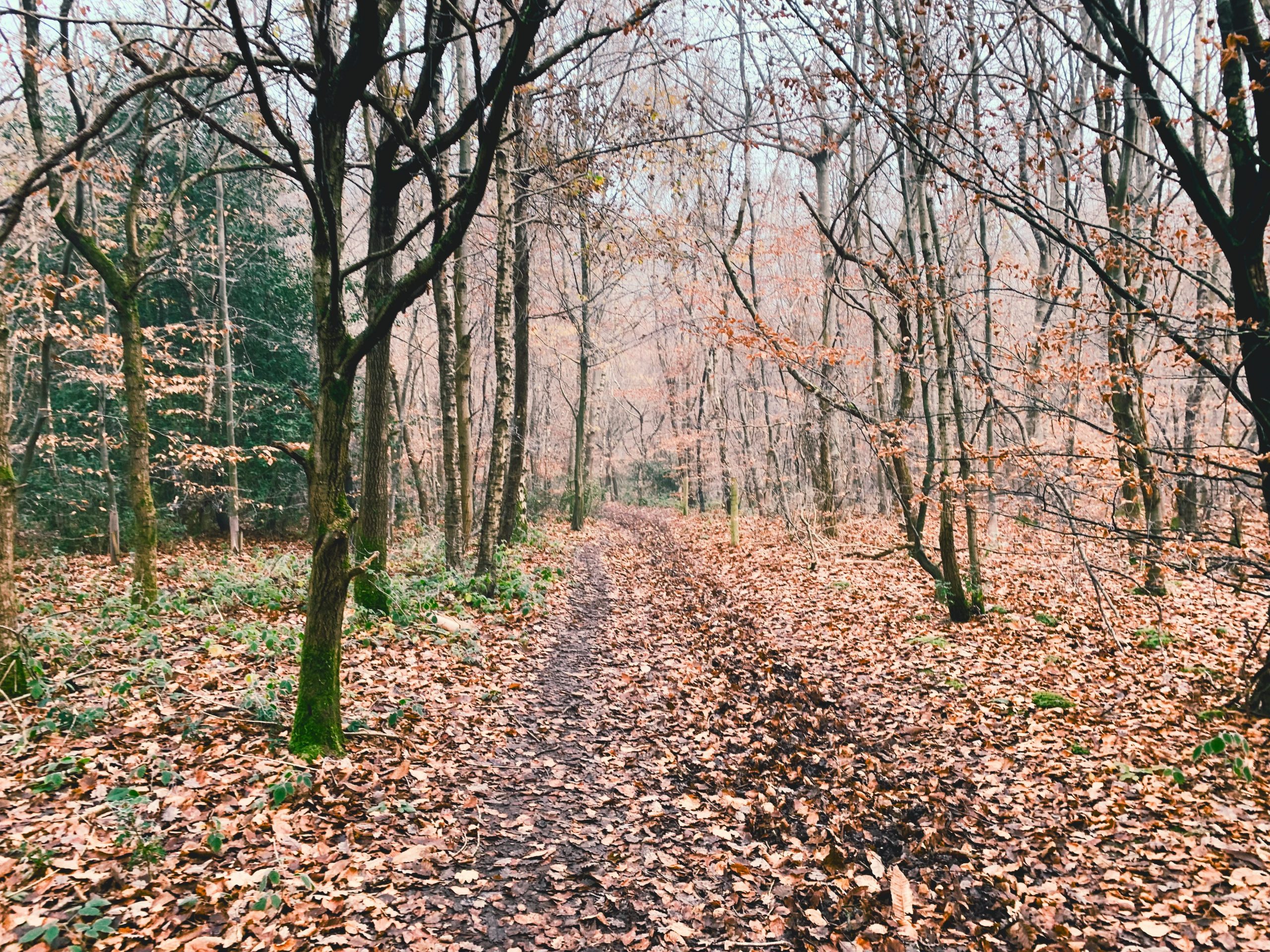
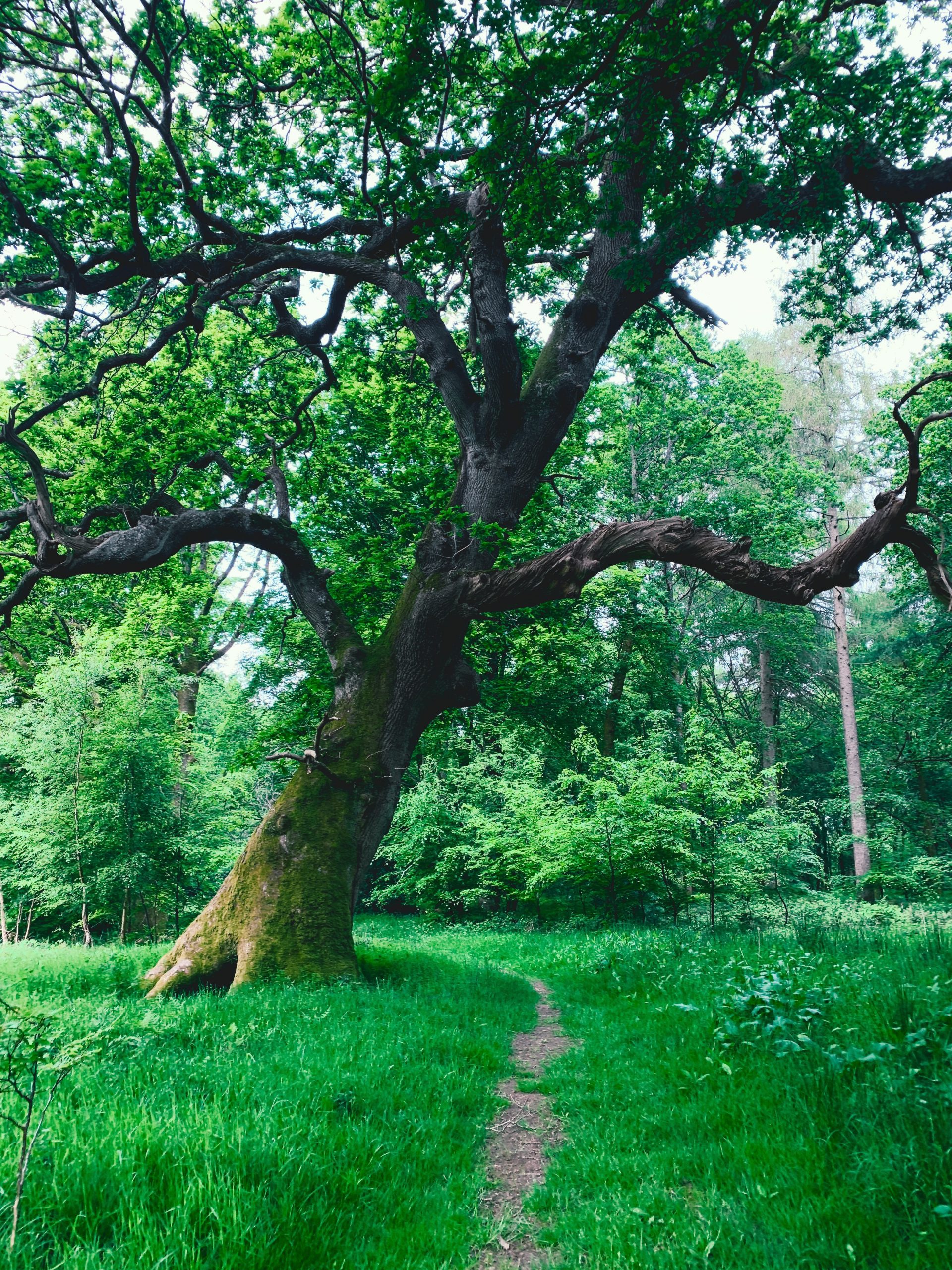
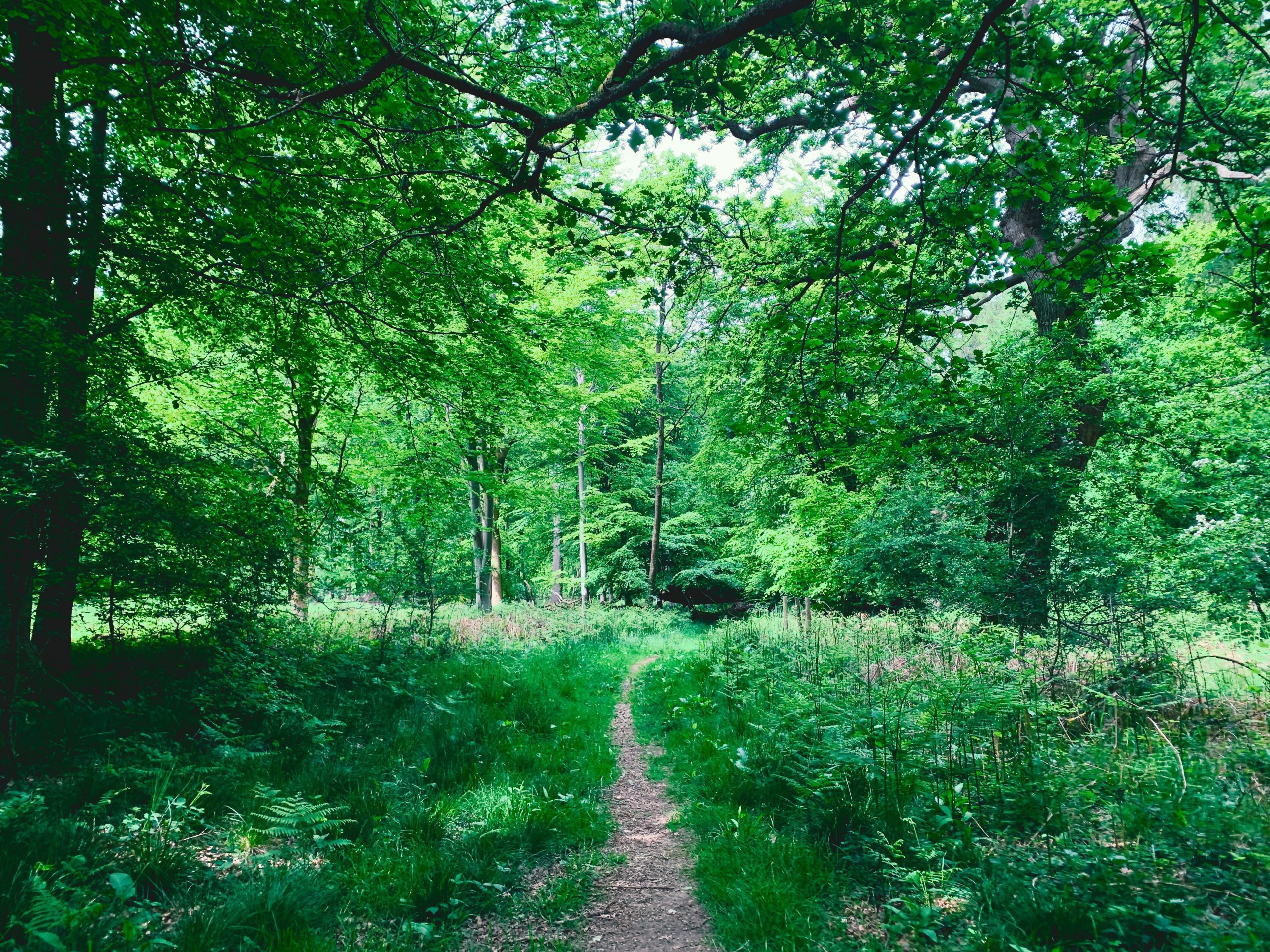
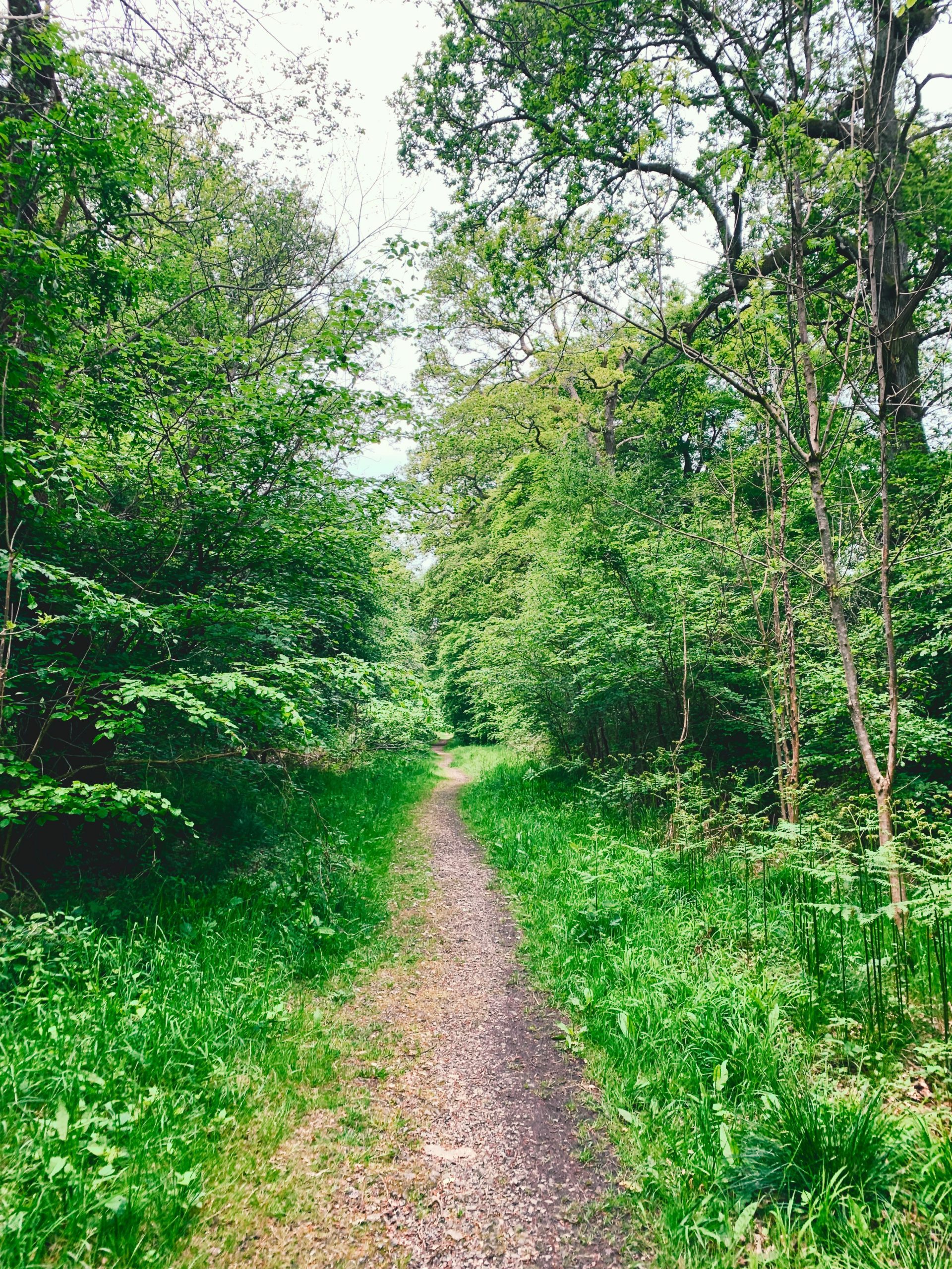
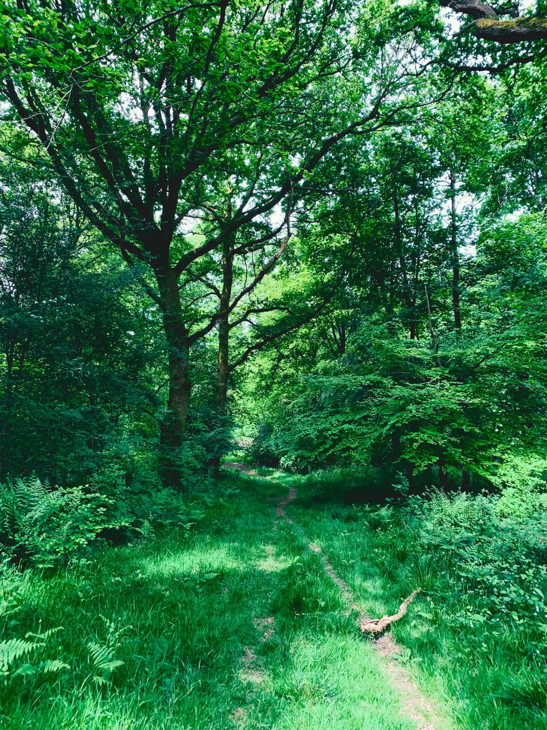
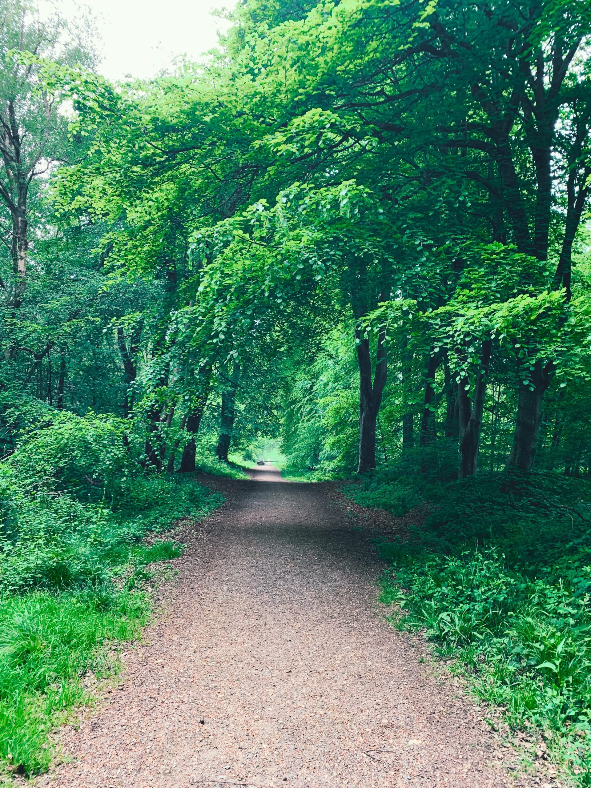
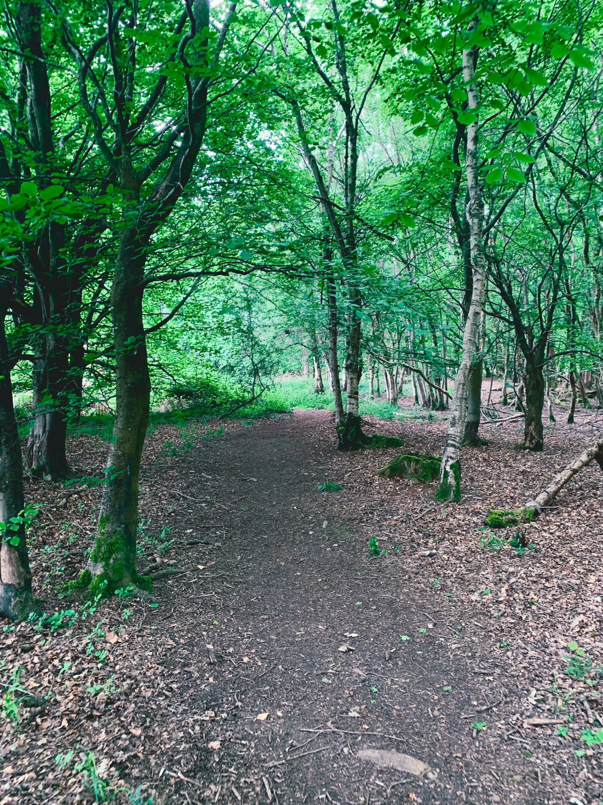
SHINRIN-YOKU
Walking in forests significantly boosts mental health by reducing stress, anxiety, and depression while enhancing mood and focus. Forest environments offer “forest bathing” (shinrin-yoku), which is shown to lower cortisol levels and improve cognitive function.
A 2019 study published in Scientific Reports found that spending at least 120 minutes weekly in nature; including forests; leads to better mental well-being compared to no nature exposure at all. Spending at least 120 minutes a week in nature is associated with good health and wellbeing.
Scientific Reports, 9(1), 7730; study by White, M. P., et al. (2019)